
Bexley North na rowerze
Odkrywaj mapę z 56 trasami rowerowymi i szlakami w pobliżu Bexley North, stworzonymi przez naszą społeczność.
Portret regionu
Poznaj Bexley North
Znajdź odpowiednią trasę rowerową dla siebie w Bexley North – mamy tam 56 tras do odkrycia.
1673 km
Zarejestrowany dystans
56
Trasy rowerowe
3999
Populacja
Wspólnota
Najaktywniejsi użytkownicy w Bexley North


Od naszej społeczności
Najlepsze trasy rowerowe w Bexley North i okolicach

cooks River home loop
Trasa rowerowa w Bexley North, Nowa Południowa Walia, Australia
- 10,2 km
- Dystans
- 146 m
- Przewyższenia
- 139 m
- Spadek
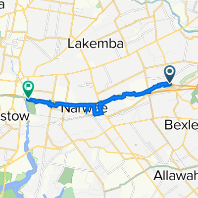
![(Map 3) M5 Linear Park (Kingsgrove) to Bexley [via Bexley North]](https://media.bikemap.net/routes/15929589/staticmaps/in_a8a15940-1200-41d0-a1ed-7ff8b7b97ec0_694x400_bikemap-2021-3D-static.png)
(Map 3) M5 Linear Park (Kingsgrove) to Bexley [via Bexley North]
Trasa rowerowa w Bexley North, Nowa Południowa Walia, Australia
- 3,6 km
- Dystans
- 31 m
- Przewyższenia
- 4 m
- Spadek

(Map 3D) M5 Linear Park to Bexley Pool
Trasa rowerowa w Bexley North, Nowa Południowa Walia, Australia
- 2,7 km
- Dystans
- 32 m
- Przewyższenia
- 16 m
- Spadek
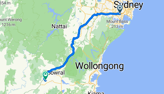
Miller Avenue 16, Bexley North to Golden Vale Road, Sutton Forest
Trasa rowerowa w Bexley North, Nowa Południowa Walia, Australia
- 132 km
- Dystans
- 2182 m
- Przewyższenia
- 1566 m
- Spadek
Odkryj więcej tras
 Bexley North to Cooks River
- Dystans
- 3,7 km
- Przewyższenia
- 32 m
- Spadek
- 45 m
- Lokalizacja
- Bexley North, Nowa Południowa Walia, Australia
 9 Calbina Road, Earlwood to 13 Calbina Road, Earlwood
- Dystans
- 22,6 km
- Przewyższenia
- 34 m
- Spadek
- 57 m
- Lokalizacja
- Bexley North, Nowa Południowa Walia, Australia
 Kingsland road to Struthers st
- Dystans
- 19 km
- Przewyższenia
- 98 m
- Spadek
- 129 m
- Lokalizacja
- Bexley North, Nowa Południowa Walia, Australia
 Bexley North to Salt Pan Creek Reserve (M5 East Tunnel Cycleway)
- Dystans
- 8,4 km
- Przewyższenia
- 54 m
- Spadek
- 67 m
- Lokalizacja
- Bexley North, Nowa Południowa Walia, Australia
 Bexley Rd, Kingsgrove to 3 The Crescent, Kingsgrove
- Dystans
- 4,7 km
- Przewyższenia
- 30 m
- Spadek
- 18 m
- Lokalizacja
- Bexley North, Nowa Południowa Walia, Australia
 Clemton Park to Lakemba
- Dystans
- 3,4 km
- Przewyższenia
- 44 m
- Spadek
- 29 m
- Lokalizacja
- Bexley North, Nowa Południowa Walia, Australia
 Bexley North - Home
- Dystans
- 4,9 km
- Przewyższenia
- 57 m
- Spadek
- 28 m
- Lokalizacja
- Bexley North, Nowa Południowa Walia, Australia
 63 Shaw Street, Bexley North to 29 Fletcher Street, Campsie
- Dystans
- 3,7 km
- Przewyższenia
- 42 m
- Spadek
- 22 m
- Lokalizacja
- Bexley North, Nowa Południowa Walia, Australia