
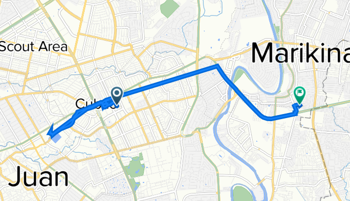
Szybka przejażdżka rowerowa z Quezon City do Calumpang
Dostosuj własną trasę na podstawie naszego szablonu lub zobacz, jak nasza społeczność najchętniej jeździ z Quezon City do Calumpang.
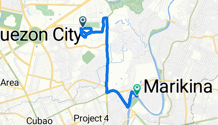
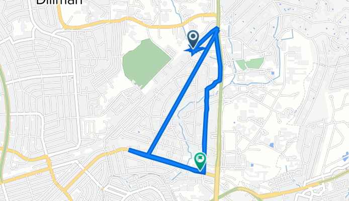
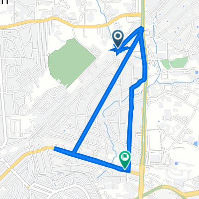
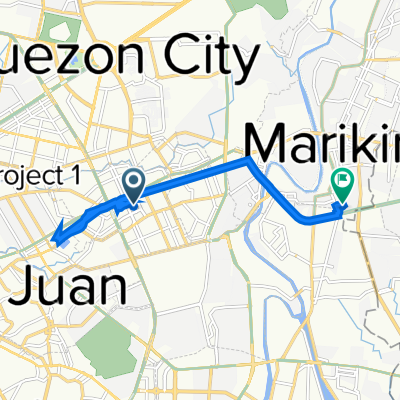
Szablon trasy
Z Quezon City do Calumpang
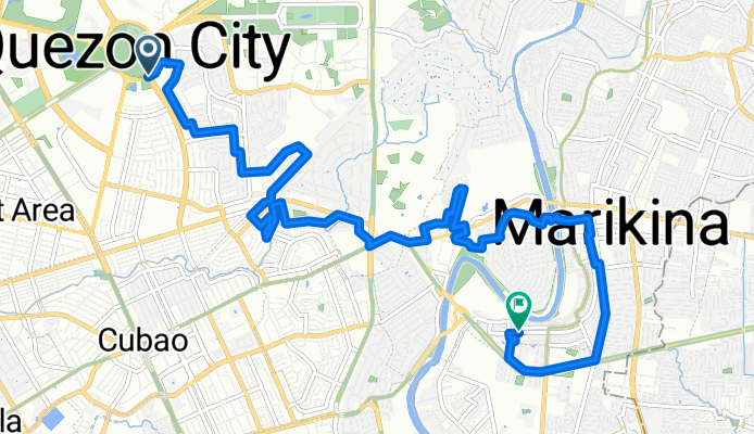
- 49 min
- Czas
- 14,6 km
- Dystans
- 38 m
- Przewyższenia
- 75 m
- Spadek
- 17,9 km/h
- Śr. Prędkość
- 58 m
- Maks. wysokość
Here’s a fun urban cycling route from Quezon City to Calumpang! You’ll ride about 14.6 km, starting in Quezon City—Metro Manila’s largest city, known for its lively atmosphere and green spaces like the massive Quezon Memorial Circle. The ride heads southeast on mostly quiet, paved roads (perfect for a relaxed cruise!). Expect a gentle mix of concrete and asphalt under your wheels and only a bit of ascent—so it’s beginner-friendly. You’ll pass through some busy sections, so stay alert for traffic!
As you approach Calumpang in Marikina, you’ll notice the city’s cycling culture kicking in—Marikina is famous for being bike-friendly, with its dedicated cycleways and laid-back vibe. The roads flatten out, and you can catch glimpses of the Marikina River. With more downhills than climbs, this is a great route to take it easy, soak in the city scenes, and maybe stop for some street food along the way!
Wspólnota
Najlepsi użytkownicy w tym regionie


Od naszej społeczności
Najlepsze trasy rowerowe z Quezon City do Calumpang
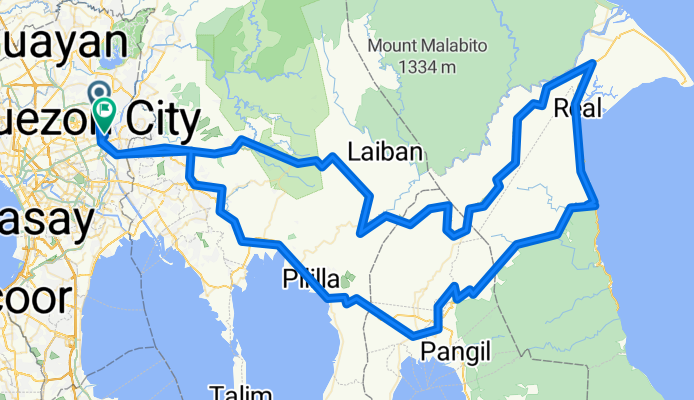
NARDONG POTEK LULULULOOPS
Trasa rowerowa w Quezon City, National Capital Region, Filipiny
- 251,8 km
- Dystans
- 7372 m
- Przewyższenia
- 7387 m
- Spadek
to sta lu
Trasa rowerowa w Quezon City, National Capital Region, Filipiny
- 7,4 km
- Dystans
- 42 m
- Przewyższenia
- 84 m
- Spadek
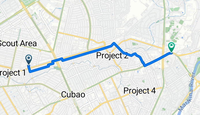
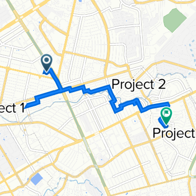
Scout de Guia Street 129-B to A. Bonifacio Avenue
Trasa rowerowa w Quezon City, National Capital Region, Filipiny
- 5,4 km
- Dystans
- 36 m
- Przewyższenia
- 30 m
- Spadek
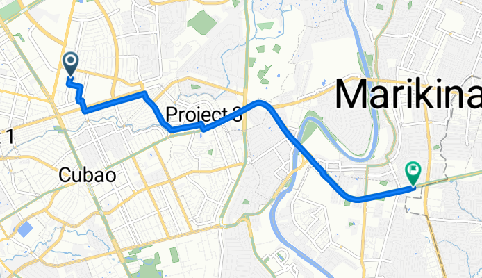
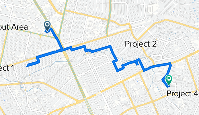
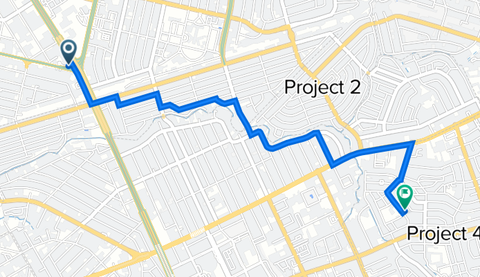
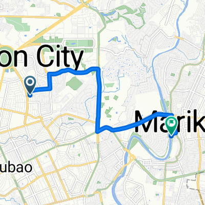
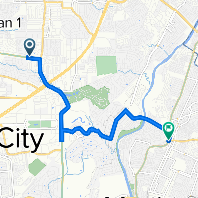
Route to J3JM+CRJ, Marikina
Trasa rowerowa w Quezon City, National Capital Region, Filipiny
- 7,8 km
- Dystans
- 157 m
- Przewyższenia
- 197 m
- Spadek
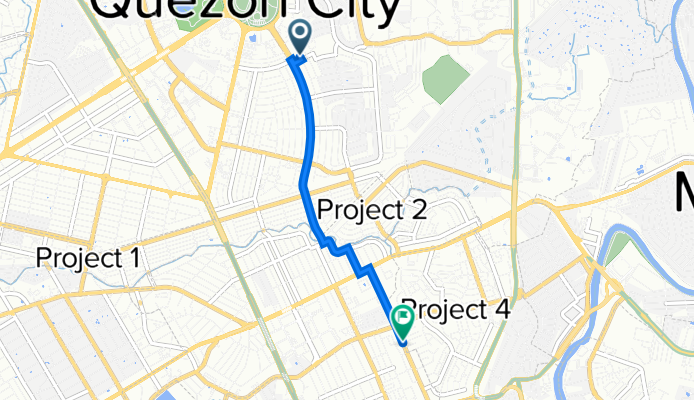
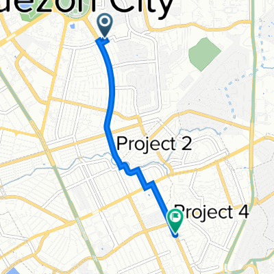
pop up
Trasa rowerowa w Quezon City, National Capital Region, Filipiny
- 3,7 km
- Dystans
- 16 m
- Przewyższenia
- 19 m
- Spadek
68 Matahimik Street, Quezon City to Kap. Celso Mendoza (Dancel), Marikina City
Trasa rowerowa w Quezon City, National Capital Region, Filipiny
- 7,6 km
- Dystans
- 16 m
- Przewyższenia
- 62 m
- Spadek
GMA Network Drive, Quezon City to 79 Malvar St, Quezon City
Trasa rowerowa w Quezon City, National Capital Region, Filipiny
- 6,4 km
- Dystans
- 64 m
- Przewyższenia
- 61 m
- Spadek
J3WC+4R3, Quezon City to Esteban Abada Street 32, Quezon City
Trasa rowerowa w Quezon City, National Capital Region, Filipiny
- 7,5 km
- Dystans
- 26 m
- Przewyższenia
- 29 m
- Spadek
GMA Network Drive, Quezon City to 85 Malvar St, Quezon City
Trasa rowerowa w Quezon City, National Capital Region, Filipiny
- 4,7 km
- Dystans
- 61 m
- Przewyższenia
- 56 m
- Spadek
TO CASA VITO 🏠❤️
Trasa rowerowa w Quezon City, National Capital Region, Filipiny
- 3,7 km
- Dystans
- 13 m
- Przewyższenia
- 10 m
- Spadek
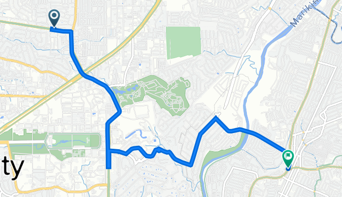
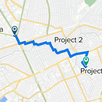
Congressional Avenue, Quezon City to M423+74X, Marikina
Trasa rowerowa w Quezon City, National Capital Region, Filipiny
- 7,8 km
- Dystans
- 41 m
- Przewyższenia
- 85 m
- Spadek
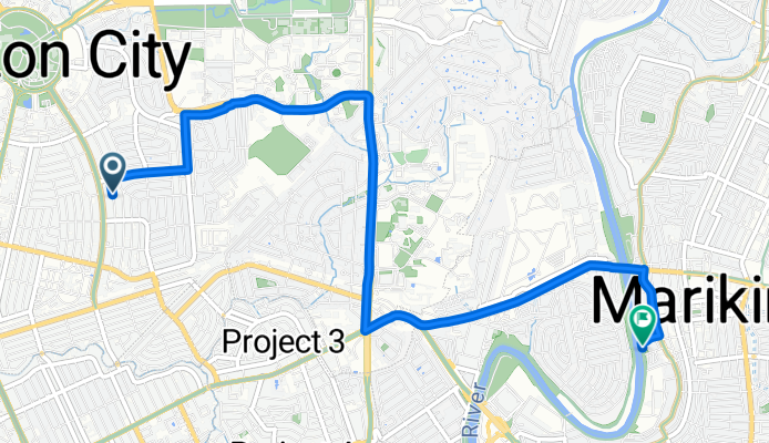
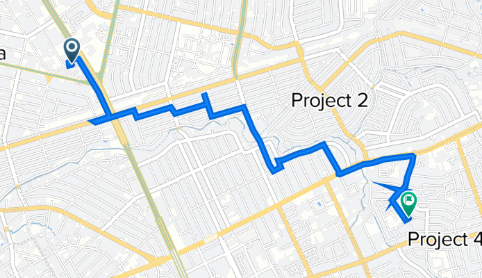
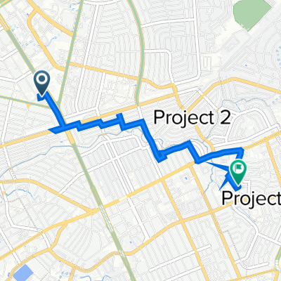
Route to Dragon 142, Marikina
Trasa rowerowa w Quezon City, National Capital Region, Filipiny
- 10,7 km
- Dystans
- 124 m
- Przewyższenia
- 185 m
- Spadek
Odkryj więcej tras
 pop up
- Dystans
- 3,7 km
- Przewyższenia
- 16 m
- Spadek
- 19 m
- Lokalizacja
- Quezon City, National Capital Region, Filipiny
 68 Matahimik Street, Quezon City to Kap. Celso Mendoza (Dancel), Marikina City
- Dystans
- 7,6 km
- Przewyższenia
- 16 m
- Spadek
- 62 m
- Lokalizacja
- Quezon City, National Capital Region, Filipiny
 GMA Network Drive, Quezon City to 79 Malvar St, Quezon City
- Dystans
- 6,4 km
- Przewyższenia
- 64 m
- Spadek
- 61 m
- Lokalizacja
- Quezon City, National Capital Region, Filipiny
 J3WC+4R3, Quezon City to Esteban Abada Street 32, Quezon City
- Dystans
- 7,5 km
- Przewyższenia
- 26 m
- Spadek
- 29 m
- Lokalizacja
- Quezon City, National Capital Region, Filipiny
 GMA Network Drive, Quezon City to 85 Malvar St, Quezon City
- Dystans
- 4,7 km
- Przewyższenia
- 61 m
- Spadek
- 56 m
- Lokalizacja
- Quezon City, National Capital Region, Filipiny
 TO CASA VITO 🏠❤️
- Dystans
- 3,7 km
- Przewyższenia
- 13 m
- Spadek
- 10 m
- Lokalizacja
- Quezon City, National Capital Region, Filipiny
 Congressional Avenue, Quezon City to M423+74X, Marikina
- Dystans
- 7,8 km
- Przewyższenia
- 41 m
- Spadek
- 85 m
- Lokalizacja
- Quezon City, National Capital Region, Filipiny
 Route to Dragon 142, Marikina
- Dystans
- 10,7 km
- Przewyższenia
- 124 m
- Spadek
- 185 m
- Lokalizacja
- Quezon City, National Capital Region, Filipiny
Trasy z Quezon City
Szybka przejażdżka rowerowa od
Z Quezon City do Bagong Pagasa
Szybka przejażdżka rowerowa od
Z Quezon City do Makati City
Trasy do Calumpang
Szybka przejażdżka rowerowa od
Z Antipolo do Calumpang