
Rowerowa z Long Eaton do Nottingham
Dostosuj własną trasę na podstawie naszego szablonu lub zobacz, jak nasza społeczność najchętniej jeździ z Long Eaton do Nottingham.
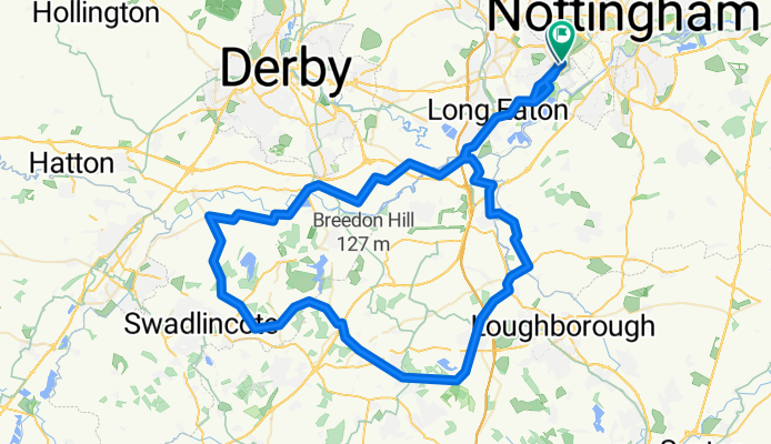
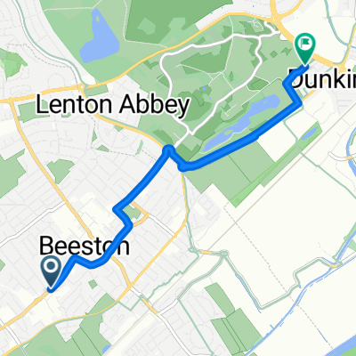
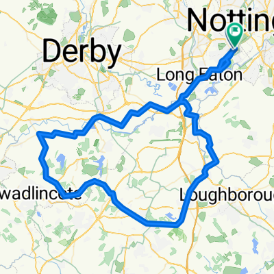
Szablon trasy
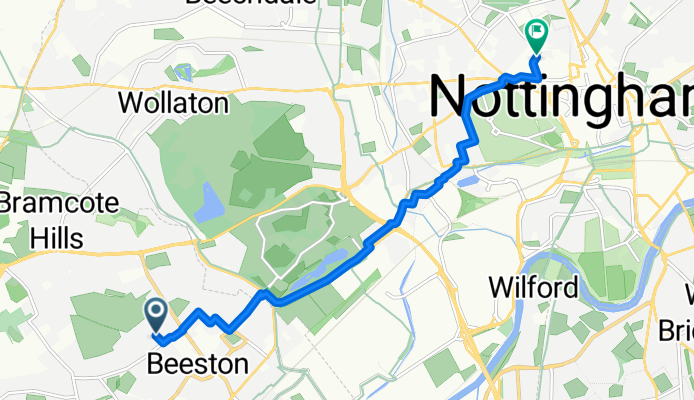
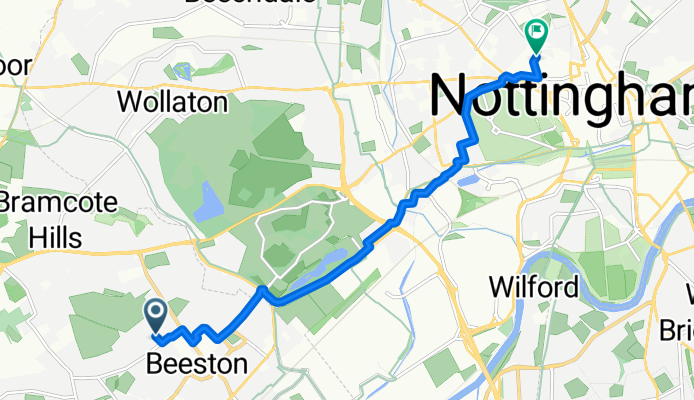
Z Long Eaton do Nottingham
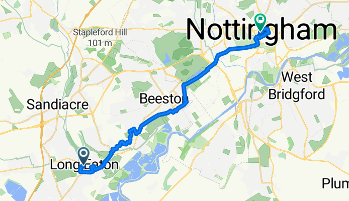
- 52 min
- Czas
- 15,3 km
- Dystans
- 40 m
- Przewyższenia
- 29 m
- Spadek
- 17,6 km/h
- Śr. Prędkość
- 54 m
- Maks. wysokość
Spin out from Long Eaton and head for Trent Lock, then roll east along the River Trent past the wildlife-rich Attenborough Nature Reserve. Pick up the towpath at Beeston Lock and follow the Beeston/Nottingham Canal for a relaxed, traffic-light run into the city, cruising past Beeston Rylands and towards Castle Wharf by Nottingham Station. From there it’s a short hop to Old Market Square or up to Nottingham Castle.
It’s an easy, mostly flat ride (roughly 15 km with only about 40 m of climbing). Surfaces are largely paved, with short path sections on the reserve and canal that can be a bit puddly after rain. Expect a friendly mix of quiet roads and cycleways; great for a no-stress spin.
Fun bits: Long Eaton sits by the Erewash and Trent and has roots in lace and furniture making. Nottingham brings Robin Hood lore, the Lace Market, and a lively canalside for post-ride coffee—try the Canalside Heritage Centre at Beeston Lock en route.
Wspólnota
Najlepsi użytkownicy w tym regionie


Od naszej społeczności
Najlepsze trasy rowerowe z Long Eaton do Nottingham

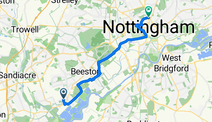
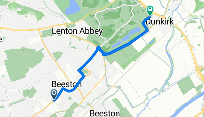
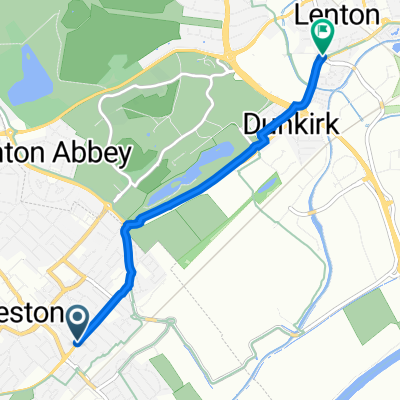
41-43 High Road, Nottingham to 1 Fishpond Drive, Nottingham
Trasa rowerowa w Long Eaton, Anglia, Zjednoczone Królestwo Wielkiej Brytanii
- 5,8 km
- Dystans
- 3 m
- Przewyższenia
- 9 m
- Spadek

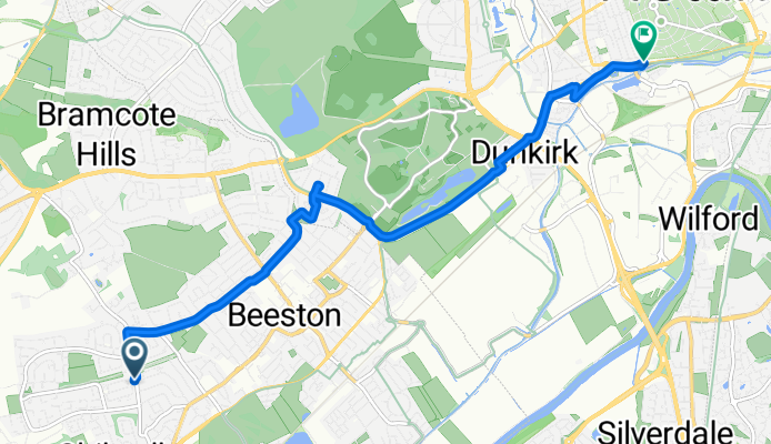
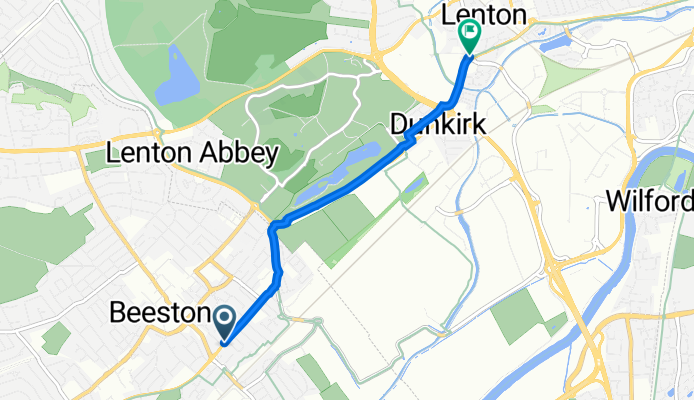
Barton Lane, Beeston, Nottingham to 63 Boundary Road, Nottingham
Trasa rowerowa w Long Eaton, Anglia, Zjednoczone Królestwo Wielkiej Brytanii
- 5,2 km
- Dystans
- 9 m
- Przewyższenia
- 7 m
- Spadek
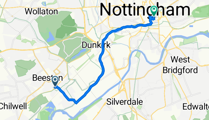
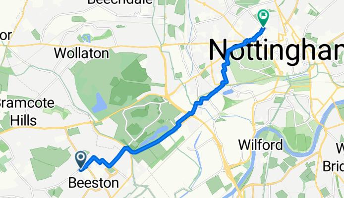
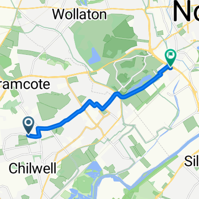
69 Bramcote Lane, Nottingham to 82 Castle Blvd, Nottingham
Trasa rowerowa w Long Eaton, Anglia, Zjednoczone Królestwo Wielkiej Brytanii
- 7,3 km
- Dystans
- 12 m
- Przewyższenia
- 28 m
- Spadek
Home to Work
Trasa rowerowa w Long Eaton, Anglia, Zjednoczone Królestwo Wielkiej Brytanii
- 8,1 km
- Dystans
- 21 m
- Przewyższenia
- 56 m
- Spadek
Daily Commute
Trasa rowerowa w Long Eaton, Anglia, Zjednoczone Królestwo Wielkiej Brytanii
- 12,5 km
- Dystans
- 66 m
- Przewyższenia
- 33 m
- Spadek
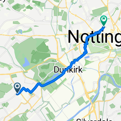
camino a la UoN
Trasa rowerowa w Long Eaton, Anglia, Zjednoczone Królestwo Wielkiej Brytanii
- 5,3 km
- Dystans
- 8 m
- Przewyższenia
- 16 m
- Spadek
244 Queens Road, Nottingham to 29 The White Hart, Gregory St, Nottingham
Trasa rowerowa w Long Eaton, Anglia, Zjednoczone Królestwo Wielkiej Brytanii
- 3,4 km
- Dystans
- 0 m
- Przewyższenia
- 0 m
- Spadek
Bramcote Road, Nottingham to Travel Inn, Nottingham
Trasa rowerowa w Long Eaton, Anglia, Zjednoczone Królestwo Wielkiej Brytanii
- 7,6 km
- Dystans
- 65 m
- Przewyższenia
- 59 m
- Spadek
Louis Avenue, Nottingham to Travel Inn, Nottingham
Trasa rowerowa w Long Eaton, Anglia, Zjednoczone Królestwo Wielkiej Brytanii
- 7,7 km
- Dystans
- 54 m
- Przewyższenia
- 49 m
- Spadek
Leic Route
Trasa rowerowa w Long Eaton, Anglia, Zjednoczone Królestwo Wielkiej Brytanii
- 88,8 km
- Dystans
- 320 m
- Przewyższenia
- 319 m
- Spadek
Bramcote Road, Nottingham to Goldsmith Street, Nottingham
Trasa rowerowa w Long Eaton, Anglia, Zjednoczone Królestwo Wielkiej Brytanii
- 7,2 km
- Dystans
- 58 m
- Przewyższenia
- 44 m
- Spadek
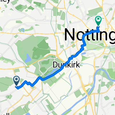
To qmc from home
Trasa rowerowa w Long Eaton, Anglia, Zjednoczone Królestwo Wielkiej Brytanii
- 5,6 km
- Dystans
- 0 m
- Przewyższenia
- 24 m
- Spadek
Odkryj więcej tras
 Daily Commute
- Dystans
- 12,5 km
- Przewyższenia
- 66 m
- Spadek
- 33 m
- Lokalizacja
- Long Eaton, Anglia, Zjednoczone Królestwo Wielkiej Brytanii
 camino a la UoN
- Dystans
- 5,3 km
- Przewyższenia
- 8 m
- Spadek
- 16 m
- Lokalizacja
- Long Eaton, Anglia, Zjednoczone Królestwo Wielkiej Brytanii
 244 Queens Road, Nottingham to 29 The White Hart, Gregory St, Nottingham
- Dystans
- 3,4 km
- Przewyższenia
- 0 m
- Spadek
- 0 m
- Lokalizacja
- Long Eaton, Anglia, Zjednoczone Królestwo Wielkiej Brytanii
 Bramcote Road, Nottingham to Travel Inn, Nottingham
- Dystans
- 7,6 km
- Przewyższenia
- 65 m
- Spadek
- 59 m
- Lokalizacja
- Long Eaton, Anglia, Zjednoczone Królestwo Wielkiej Brytanii
 Louis Avenue, Nottingham to Travel Inn, Nottingham
- Dystans
- 7,7 km
- Przewyższenia
- 54 m
- Spadek
- 49 m
- Lokalizacja
- Long Eaton, Anglia, Zjednoczone Królestwo Wielkiej Brytanii
 Leic Route
- Dystans
- 88,8 km
- Przewyższenia
- 320 m
- Spadek
- 319 m
- Lokalizacja
- Long Eaton, Anglia, Zjednoczone Królestwo Wielkiej Brytanii
 Bramcote Road, Nottingham to Goldsmith Street, Nottingham
- Dystans
- 7,2 km
- Przewyższenia
- 58 m
- Spadek
- 44 m
- Lokalizacja
- Long Eaton, Anglia, Zjednoczone Królestwo Wielkiej Brytanii
 To qmc from home
- Dystans
- 5,6 km
- Przewyższenia
- 0 m
- Spadek
- 24 m
- Lokalizacja
- Long Eaton, Anglia, Zjednoczone Królestwo Wielkiej Brytanii
Trasy do Nottingham
Rowerowa od
Z Radcliffe on Trent do Nottingham
Rowerowa od
Z Kimberley do Nottingham