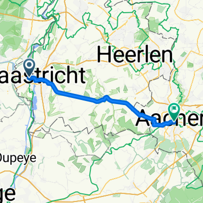


Maastricht - Eijsden - Kelmis
- 44,3 km
- 487 m
- 354 m
- Maastricht, Limburgia, Holandia


Dostosuj własną trasę na podstawie naszego szablonu lub zobacz, jak nasza społeczność najchętniej jeździ z Maastricht do Akwizgran.
Szablon trasy

This cross-border cycling route takes you from the lively Dutch city of Maastricht to the historic German city of Aachen, covering about 35 km mostly on dedicated cycleways and quiet roads—perfect for a relaxed ride with scenic landscapes. Maastricht, sitting pretty on the Meuse River, is famed for its medieval architecture and vibrant café culture, making it a great spot to fuel up with a coffee before setting off.
Along the way, expect gentle climbs (total ascent is just over 360 meters), as you roll through the rolling hills of Limburg and explore picturesque Dutch and German countryside. Most of your ride is on smooth surfaces—mostly paved or concrete—so hybrid, touring, or road bikes will feel right at home here.
As you near Aachen, you’ll notice its historic charm, crowned by the stunning Aachen Cathedral, a UNESCO World Heritage site. It’s a great place to unwind and soak up some history after your ride. Don’t forget to sample some local German pastries or relax at one of the city’s cozy bistros before catching your breath for the return journey!
Wspólnota
Od naszej społeczności
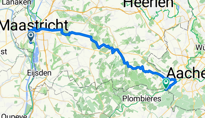
Trasa rowerowa w Maastricht, Limburgia, Holandia
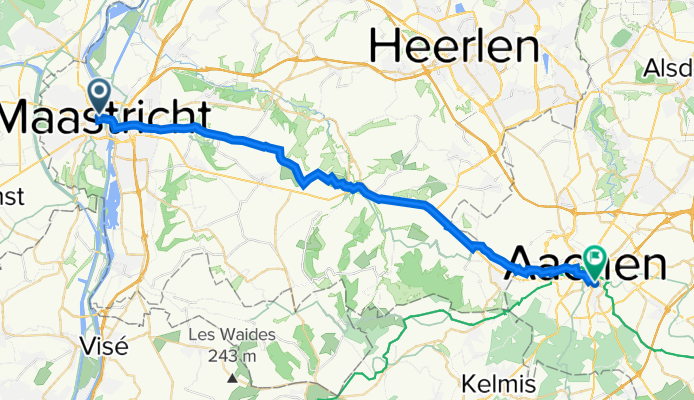
Trasa rowerowa w Maastricht, Limburgia, Holandia
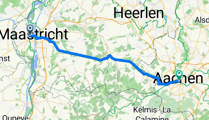
Trasa rowerowa w Maastricht, Limburgia, Holandia
Trasa rowerowa w Maastricht, Limburgia, Holandia
Trasa rowerowa w Maastricht, Limburgia, Holandia
Trasa rowerowa w Maastricht, Limburgia, Holandia
Trasa rowerowa w Maastricht, Limburgia, Holandia
Trasa rowerowa w Maastricht, Limburgia, Holandia
Trasa rowerowa w Maastricht, Limburgia, Holandia
Trasa rowerowa w Maastricht, Limburgia, Holandia
Trasa rowerowa w Maastricht, Limburgia, Holandia
Trasa rowerowa w Maastricht, Limburgia, Holandia
Jednodniowa wycieczka rowerowa od
Jednodniowa wycieczka rowerowa od
Rowerowa od
Rowerowa od
Jednodniowa wycieczka rowerowa od
Jednodniowa wycieczka rowerowa od
Rowerowa od
Rowerowa od