
Jednodniowa wycieczka rowerowa z Spittal an der Drau do Villach
Dostosuj własną trasę na podstawie naszego szablonu lub zobacz, jak nasza społeczność najchętniej jeździ z Spittal an der Drau do Villach.
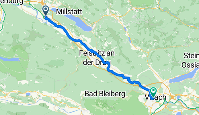
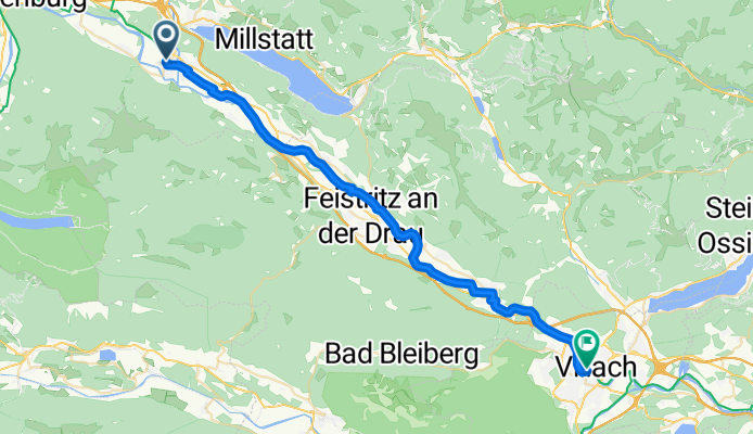
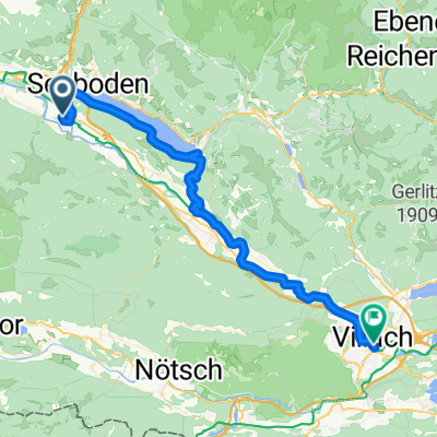
Szablon trasy
Z Spittal an der Drau do Villach

- 2 h 43 min
- Czas
- 44,5 km
- Dystans
- 271 m
- Przewyższenia
- 334 m
- Spadek
- 16,3 km/h
- Śr. Prędkość
- 565 m
- Maks. wysokość
If you’re looking for a scenic ride in southern Austria, the route from Spittal an der Drau to Villach is a great option! Starting in Spittal, a charming town nestled where the Drau river meanders beneath the impressive Goldeck mountain, you’ll pedal your way southeast for just over 44 km. The route is mainly on quiet roads and dedicated cycleways—perfect for soaking in the countryside without too much car traffic.
You’ll enjoy rolling terrain with a total climb of about 270 meters, so it’s accessible for most riders. Expect smooth asphalt for most of the journey, though there are a few gravelly patches to keep things interesting. Along the way, you’ll pass through picturesque villages, fields, and forests, maybe even catching a glimpse of the river.
Finish up in Villach, a lively city known for its Mediterranean flair, pretty old town, and thermal baths—ideal for relaxing post-ride. This is a lovely route for anyone wanting a taste of Carinthia’s nature and Austria’s laid-back cycling vibes!
Wspólnota
Najlepsi użytkownicy w tym regionie


Od naszej społeczności
Najlepsze trasy rowerowe z Spittal an der Drau do Villach
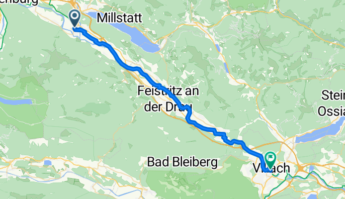
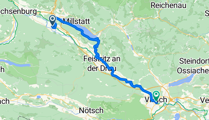
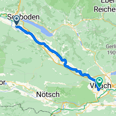
From Spittal an der Drau to Villach
Trasa rowerowa w Spittal an der Drau, Karyntia, Austria
- 39,5 km
- Dystans
- 206 m
- Przewyższenia
- 282 m
- Spadek
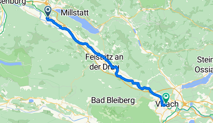
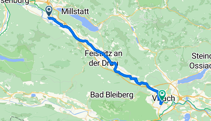
Spittal-Villach
Trasa rowerowa w Spittal an der Drau, Karyntia, Austria
- 40,3 km
- Dystans
- 211 m
- Przewyższenia
- 262 m
- Spadek
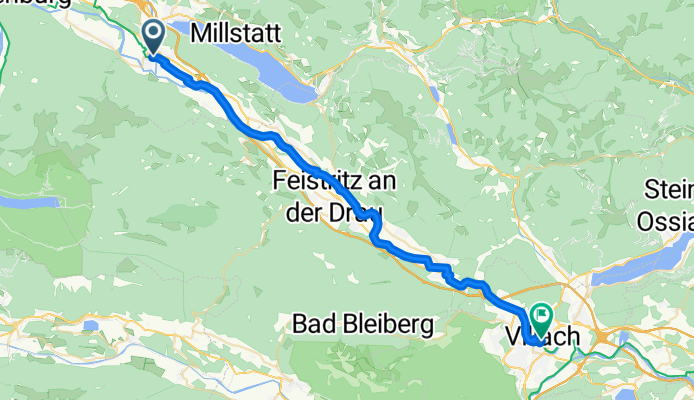
Tag3 Spittal-Villach
Trasa rowerowa w Spittal an der Drau, Karyntia, Austria
- 40,2 km
- Dystans
- 219 m
- Przewyższenia
- 272 m
- Spadek
Spittal an der Drau - Pontebba
Trasa rowerowa w Spittal an der Drau, Karyntia, Austria
- 39,4 km
- Dystans
- 217 m
- Przewyższenia
- 269 m
- Spadek
Etappe 4: Von Spittal an der Drau nach Villach– Alpe-Adria-Radweg
Trasa rowerowa w Spittal an der Drau, Karyntia, Austria
- 39,1 km
- Dystans
- 65 m
- Przewyższenia
- 121 m
- Spadek
Von Spittal an der Drau bis Villach
Trasa rowerowa w Spittal an der Drau, Karyntia, Austria
- 53 km
- Dystans
- 1173 m
- Przewyższenia
- 1225 m
- Spadek
Villach - mit S-Bahn nach Spital/Drau - Villach
Trasa rowerowa w Spittal an der Drau, Karyntia, Austria
- 41,5 km
- Dystans
- 229 m
- Przewyższenia
- 268 m
- Spadek


Hauptplatz 11, Spittal an der Drau nach Warmbachweg 16, Villach
Trasa rowerowa w Spittal an der Drau, Karyntia, Austria
- 45,9 km
- Dystans
- 180 m
- Przewyższenia
- 251 m
- Spadek

4. Etappe von Spittal (zur Post) nach Villach (voco)
Trasa rowerowa w Spittal an der Drau, Karyntia, Austria
- 39,8 km
- Dystans
- 213 m
- Przewyższenia
- 283 m
- Spadek

Radeln im Dreiländereck 4. Tag
Trasa rowerowa w Spittal an der Drau, Karyntia, Austria
- 56,8 km
- Dystans
- 349 m
- Przewyższenia
- 384 m
- Spadek

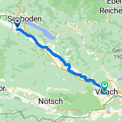
Drava - 4^ Tappa - Spittal/Ossiacher See/Villach Km 70
Trasa rowerowa w Spittal an der Drau, Karyntia, Austria
- 70,7 km
- Dystans
- 255 m
- Przewyższenia
- 324 m
- Spadek

Ciclabile Drava (2012) 3
Trasa rowerowa w Spittal an der Drau, Karyntia, Austria
- 37,3 km
- Dystans
- 157 m
- Przewyższenia
- 218 m
- Spadek
Odkryj więcej tras
 Etappe 4: Von Spittal an der Drau nach Villach– Alpe-Adria-Radweg
- Dystans
- 39,1 km
- Przewyższenia
- 65 m
- Spadek
- 121 m
- Lokalizacja
- Spittal an der Drau, Karyntia, Austria
 Von Spittal an der Drau bis Villach
- Dystans
- 53 km
- Przewyższenia
- 1173 m
- Spadek
- 1225 m
- Lokalizacja
- Spittal an der Drau, Karyntia, Austria
 Villach - mit S-Bahn nach Spital/Drau - Villach
- Dystans
- 41,5 km
- Przewyższenia
- 229 m
- Spadek
- 268 m
- Lokalizacja
- Spittal an der Drau, Karyntia, Austria
 Hauptplatz 11, Spittal an der Drau nach Warmbachweg 16, Villach
- Dystans
- 45,9 km
- Przewyższenia
- 180 m
- Spadek
- 251 m
- Lokalizacja
- Spittal an der Drau, Karyntia, Austria
 4. Etappe von Spittal (zur Post) nach Villach (voco)
- Dystans
- 39,8 km
- Przewyższenia
- 213 m
- Spadek
- 283 m
- Lokalizacja
- Spittal an der Drau, Karyntia, Austria
 Radeln im Dreiländereck 4. Tag
- Dystans
- 56,8 km
- Przewyższenia
- 349 m
- Spadek
- 384 m
- Lokalizacja
- Spittal an der Drau, Karyntia, Austria
 Drava - 4^ Tappa - Spittal/Ossiacher See/Villach Km 70
- Dystans
- 70,7 km
- Przewyższenia
- 255 m
- Spadek
- 324 m
- Lokalizacja
- Spittal an der Drau, Karyntia, Austria
 Ciclabile Drava (2012) 3
- Dystans
- 37,3 km
- Przewyższenia
- 157 m
- Spadek
- 218 m
- Lokalizacja
- Spittal an der Drau, Karyntia, Austria
Trasy z Spittal an der Drau
Jednodniowa wycieczka rowerowa od
Z Spittal an der Drau do Tarvisio
Trasy do Villach
Jednodniowa wycieczka rowerowa od
Z Flattach do Villach
Jednodniowa wycieczka rowerowa od
Z Klagenfurt do Villach
Rowerowa od
Z Ossiach do Villach
Rowerowa od
Z Wernberg do Villach