
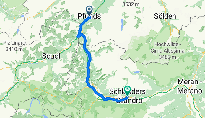
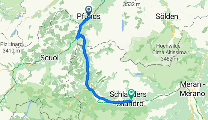
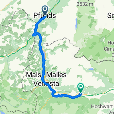
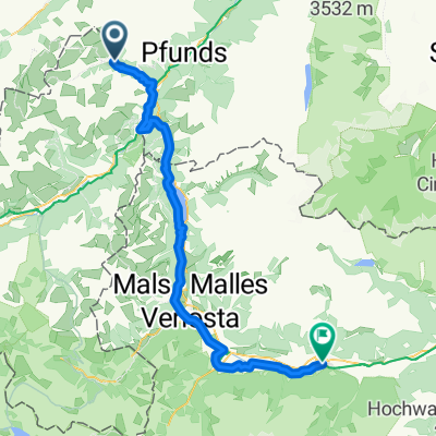
Szablon trasy
Z Pfunds do Silandro
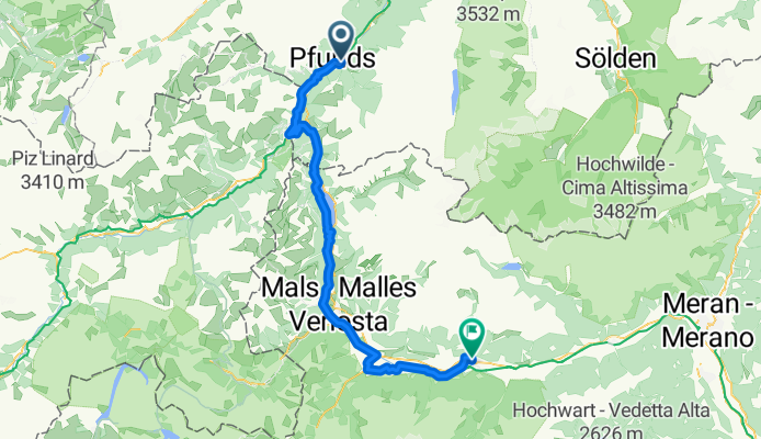
- 4 h 50 min
- Czas
- 75,9 km
- Dystans
- 1794 m
- Przewyższenia
- 2086 m
- Spadek
- 15,7 km/h
- Śr. Prędkość
- 1553 m
- Maks. wysokość
Get ready for an alpine adventure! This ride takes you from the charming Austrian village of Pfunds, snuggled at the edge of the Inn Valley, all the way to Schlanders—your entry into the beautiful South Tyrolean region of Italy. You’ll cover just under 76 km and rack up some serious elevation: nearly 1,800 meters of climbing (and over 2,000 meters of descent!) including some stretches above 1,500 meters, so the legs will get a good workout.
Most of the route follows quiet roads and tracks, with long stretches of smooth asphalt, but keep an eye out for the bits of gravel and unpaved sections—just enough to keep things interesting! Expect stunning mountain scenery, a mix of lush valleys and dramatic alpine views, and quaint villages along the way. There is some time on busier roads, so stay alert.
Schlanders (Silandro in Italian) sits in the sunny Vinschgau Valley, known for its apple orchards and wine. Treat yourself to a coffee or gelato when you roll into this relaxed Italian town—you’ve earned it!
Wspólnota
Najlepsi użytkownicy w tym regionie


Od naszej społeczności
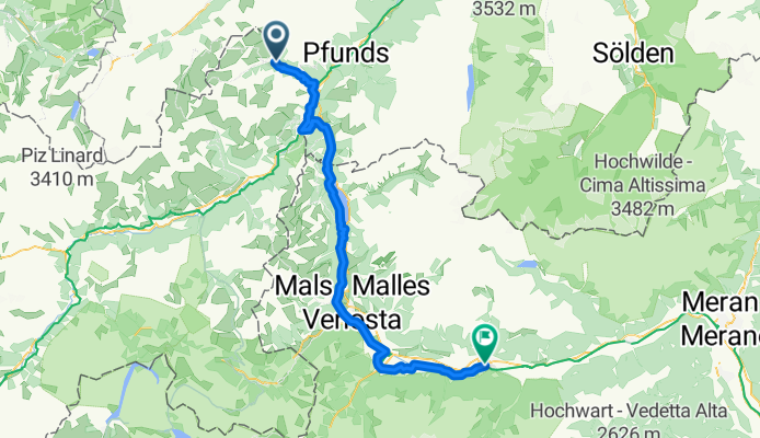
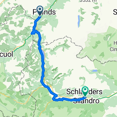
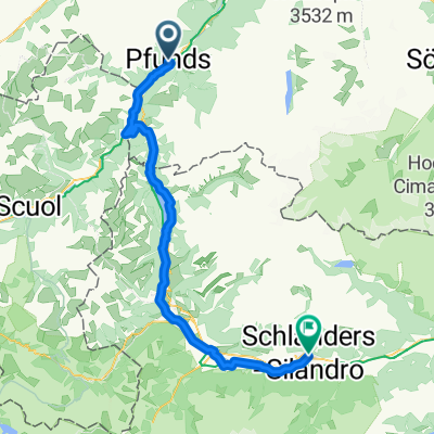
Najlepsze trasy rowerowe z Pfunds do Silandro
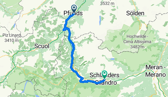
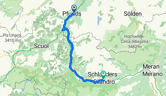
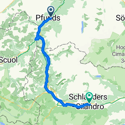
Pfunds - Schlanders
Trasa rowerowa w Pfunds, Tyrol, Austria
- 74,3 km
- Dystans
- 865 m
- Przewyższenia
- 1088 m
- Spadek


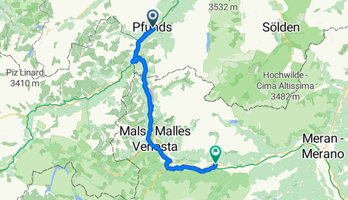
S>L T6 Haus Alpenrose
Trasa rowerowa w Pfunds, Tyrol, Austria
- 69,7 km
- Dystans
- 1289 m
- Przewyższenia
- 1531 m
- Spadek
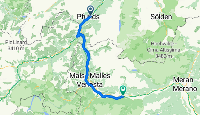
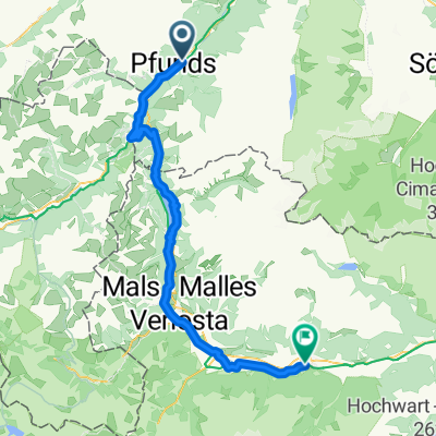
E6 Pfunds - Schlanders
Trasa rowerowa w Pfunds, Tyrol, Austria
- 75,3 km
- Dystans
- 702 m
- Przewyższenia
- 960 m
- Spadek
Sattelfest Radtour Pfunds nach Schlanders
Trasa rowerowa w Pfunds, Tyrol, Austria
- 70,6 km
- Dystans
- 761 m
- Przewyższenia
- 1035 m
- Spadek

2.Etappe von Pfunds nach Schlanders
Trasa rowerowa w Pfunds, Tyrol, Austria
- 71,4 km
- Dystans
- 674 m
- Przewyższenia
- 920 m
- Spadek
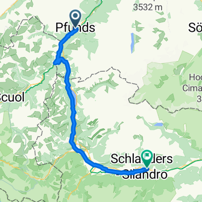
Stuben, Pfunds to Via Corzes, Silandro
Trasa rowerowa w Pfunds, Tyrol, Austria
- 72,9 km
- Dystans
- 1771 m
- Przewyższenia
- 1996 m
- Spadek
1.5. Pfunds-Schlanders (Silandro)
Trasa rowerowa w Pfunds, Tyrol, Austria
- 73,7 km
- Dystans
- 730 m
- Przewyższenia
- 989 m
- Spadek
Pfunds - Schlanders
Trasa rowerowa w Pfunds, Tyrol, Austria
- 72,1 km
- Dystans
- 1726 m
- Przewyższenia
- 1986 m
- Spadek
Scuol - Schlanders
Trasa rowerowa w Pfunds, Tyrol, Austria
- 72,5 km
- Dystans
- 2038 m
- Przewyższenia
- 2827 m
- Spadek
Odkryj więcej tras
 Sattelfest Radtour Pfunds nach Schlanders
- Dystans
- 70,6 km
- Przewyższenia
- 761 m
- Spadek
- 1035 m
- Lokalizacja
- Pfunds, Tyrol, Austria
 Etappe 3
- Dystans
- 71,8 km
- Przewyższenia
- 644 m
- Spadek
- 890 m
- Lokalizacja
- Pfunds, Tyrol, Austria
 2.Etappe von Pfunds nach Schlanders
- Dystans
- 71,4 km
- Przewyższenia
- 674 m
- Spadek
- 920 m
- Lokalizacja
- Pfunds, Tyrol, Austria
 Stuben, Pfunds to Via Corzes, Silandro
- Dystans
- 72,9 km
- Przewyższenia
- 1771 m
- Spadek
- 1996 m
- Lokalizacja
- Pfunds, Tyrol, Austria
 1.5. Pfunds-Schlanders (Silandro)
- Dystans
- 73,7 km
- Przewyższenia
- 730 m
- Spadek
- 989 m
- Lokalizacja
- Pfunds, Tyrol, Austria
 Pfunds - Schlanders
- Dystans
- 72,1 km
- Przewyższenia
- 1726 m
- Spadek
- 1986 m
- Lokalizacja
- Pfunds, Tyrol, Austria
 Ziel 2017
- Dystans
- 71,4 km
- Przewyższenia
- 742 m
- Spadek
- 1011 m
- Lokalizacja
- Pfunds, Tyrol, Austria
 Scuol - Schlanders
- Dystans
- 72,5 km
- Przewyższenia
- 2038 m
- Spadek
- 2827 m
- Lokalizacja
- Pfunds, Tyrol, Austria
Trasy z Pfunds
Jednodniowa wycieczka rowerowa od
Z Pfunds do Nauders
Jednodniowa wycieczka rowerowa od
Z Pfunds do Prato allo Stelvio
Trasy do Silandro
Jednodniowa wycieczka rowerowa od
Z Nauders do Silandro