
Jednodniowa wycieczka rowerowa z Linz do Pfarrkirchen im Mühlkreis
Dostosuj własną trasę na podstawie naszego szablonu lub zobacz, jak nasza społeczność najchętniej jeździ z Linz do Pfarrkirchen im Mühlkreis.
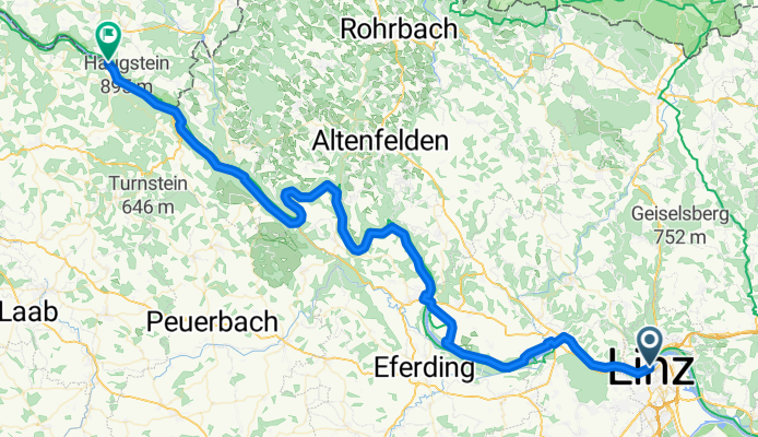
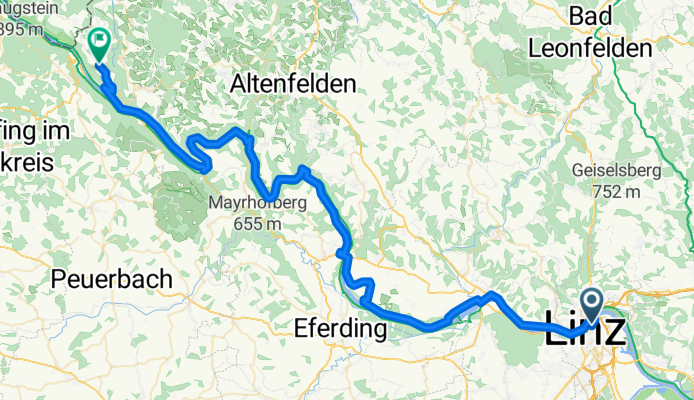
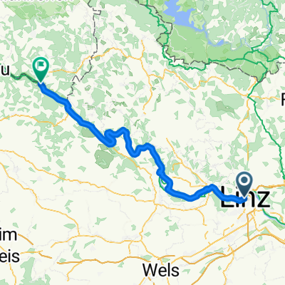
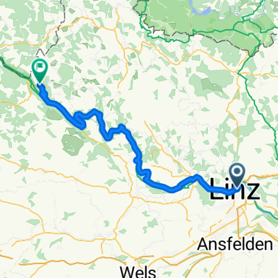
Szablon trasy
Z Linz do Pfarrkirchen im Mühlkreis
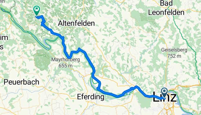
- 3 h 51 min
- Czas
- 59,3 km
- Dystans
- 990 m
- Przewyższenia
- 444 m
- Spadek
- 15,4 km/h
- Śr. Prędkość
- 818 m
- Maks. wysokość
This scenic ride takes you from the lively city of Linz, right on the Danube, all the way to the picturesque village of Pfarrkirchen im Mühlkreis. Starting in Linz—with its vibrant old town, modern art museums, and delicious Linzer Torte—you’ll head northwest into the lush countryside.
Most of your 59 km journey is on smooth pavement or asphalt, weaving along quiet roads and dedicated cycleways, so you’ll get plenty of peace and great views. The route is a bit of a workout, with close to 1,000 meters of climbing, but the unfolding views of the rolling hills more than make up for it.
As you approach Pfarrkirchen, you’ll top out near 800 meters in elevation before descending into the charming market village, known for its hilltop church and panoramic Upper Austrian vistas. Whether you cap it off with a coffee at a local guesthouse or just savor the rural tranquility, this ride is a perfect mix of culture, challenge, and countryside air.
Wspólnota
Najlepsi użytkownicy w tym regionie


Od naszej społeczności
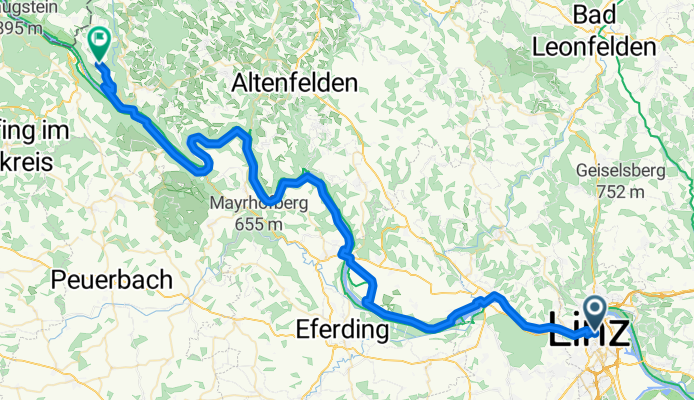
Najlepsze trasy rowerowe z Linz do Pfarrkirchen im Mühlkreis

RCO 2012 Römer-Radweg 1. Tag Teil 2
Trasa rowerowa w Linz, Górna Austria, Austria
- 65,6 km
- Dystans
- 166 m
- Przewyższenia
- 141 m
- Spadek
Linz- Pyrawang 12etapa
Trasa rowerowa w Linz, Górna Austria, Austria
- 80,6 km
- Dystans
- 334 m
- Przewyższenia
- 293 m
- Spadek
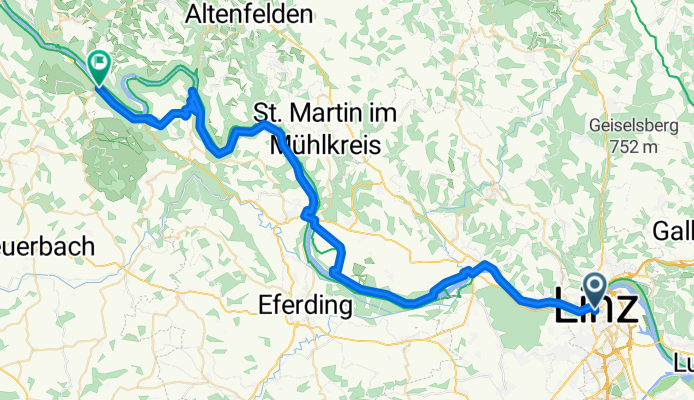
Schlögener Schlinge
Trasa rowerowa w Linz, Górna Austria, Austria
- 72,5 km
- Dystans
- 700 m
- Przewyższenia
- 636 m
- Spadek
26 Linz to Wesenufer
Trasa rowerowa w Linz, Górna Austria, Austria
- 60,8 km
- Dystans
- 641 m
- Przewyższenia
- 602 m
- Spadek
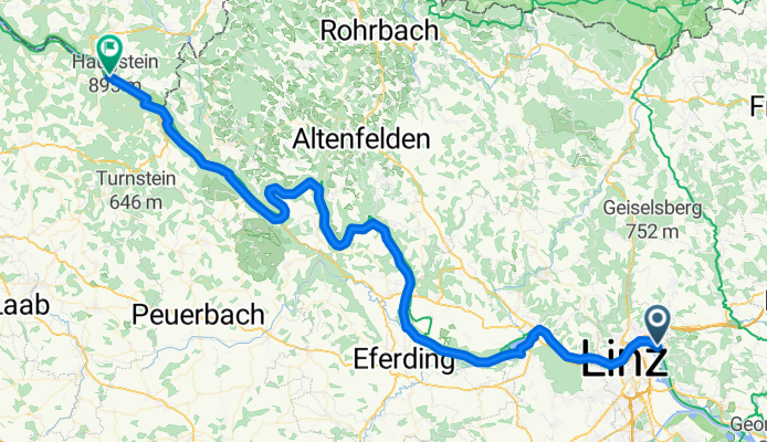
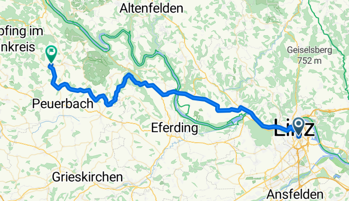
Linz - Pfarrkirchen im Mühlkreis
Trasa rowerowa w Linz, Górna Austria, Austria
- 77 km
- Dystans
- 1351 m
- Przewyższenia
- 1291 m
- Spadek
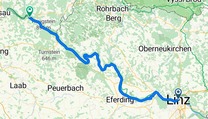
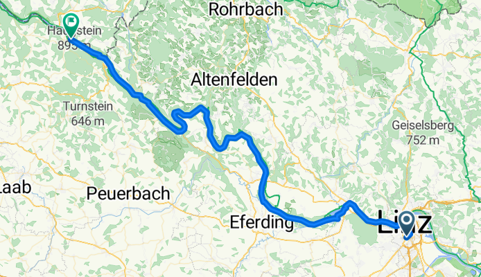
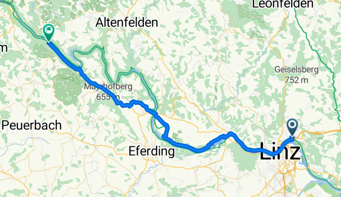
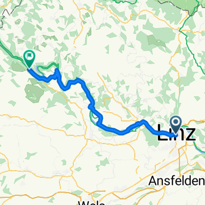
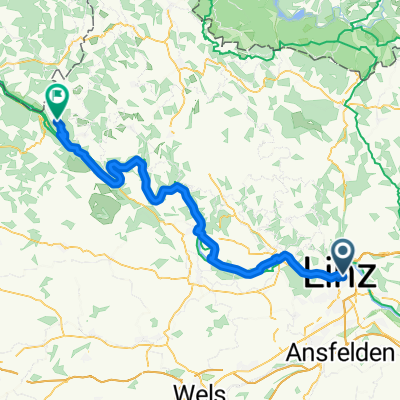
Linz - Pfarrkirchen im Mühlkreis
Trasa rowerowa w Linz, Górna Austria, Austria
- 56,5 km
- Dystans
- 1000 m
- Przewyższenia
- 909 m
- Spadek
Efteling - Tag 4
Trasa rowerowa w Linz, Górna Austria, Austria
- 78,5 km
- Dystans
- 1090 m
- Przewyższenia
- 1064 m
- Spadek
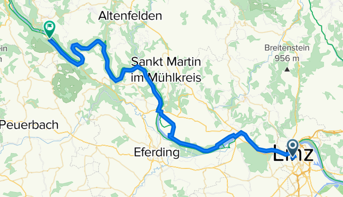
04 - von Plesching nach Kasten
Trasa rowerowa w Linz, Górna Austria, Austria
- 79,6 km
- Dystans
- 361 m
- Przewyższenia
- 324 m
- Spadek
von Linz nach Neustift mit Fähren
Trasa rowerowa w Linz, Górna Austria, Austria
- 74,8 km
- Dystans
- 1133 m
- Przewyższenia
- 826 m
- Spadek
Von Linz bis Neustift im Mühlkreis
Trasa rowerowa w Linz, Górna Austria, Austria
- 70,7 km
- Dystans
- 1413 m
- Przewyższenia
- 1101 m
- Spadek
Linz - Natternbach
Trasa rowerowa w Linz, Górna Austria, Austria
- 66,7 km
- Dystans
- 515 m
- Przewyższenia
- 363 m
- Spadek
Team Journey 2.0 Alternative Berg
Trasa rowerowa w Linz, Górna Austria, Austria
- 52,3 km
- Dystans
- 300 m
- Przewyższenia
- 268 m
- Spadek
Odkryj więcej tras
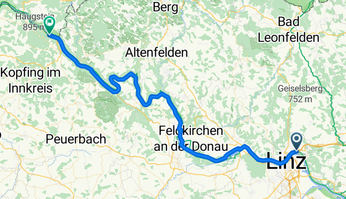
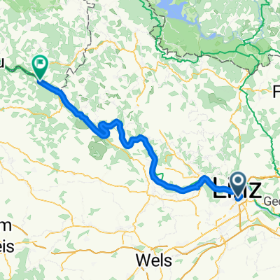
 Linz - Pfarrkirchen im Mühlkreis
- Dystans
- 77 km
- Przewyższenia
- 1351 m
- Spadek
- 1291 m
- Lokalizacja
- Linz, Górna Austria, Austria
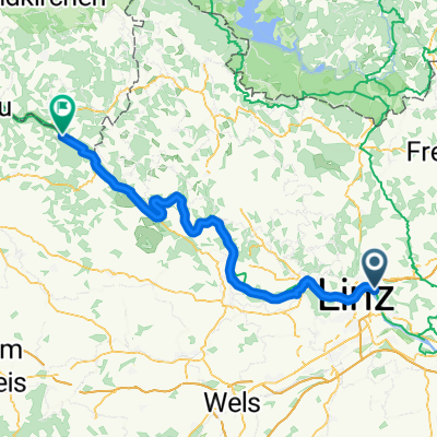
 Linz - Pfarrkirchen im Mühlkreis
- Dystans
- 56,5 km
- Przewyższenia
- 1000 m
- Spadek
- 909 m
- Lokalizacja
- Linz, Górna Austria, Austria
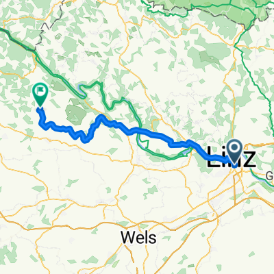
 Efteling - Tag 4
- Dystans
- 78,5 km
- Przewyższenia
- 1090 m
- Spadek
- 1064 m
- Lokalizacja
- Linz, Górna Austria, Austria
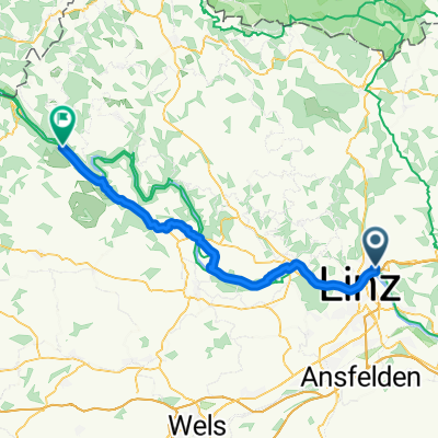
 04 - von Plesching nach Kasten
- Dystans
- 79,6 km
- Przewyższenia
- 361 m
- Spadek
- 324 m
- Lokalizacja
- Linz, Górna Austria, Austria
 von Linz nach Neustift mit Fähren
- Dystans
- 74,8 km
- Przewyższenia
- 1133 m
- Spadek
- 826 m
- Lokalizacja
- Linz, Górna Austria, Austria
 Von Linz bis Neustift im Mühlkreis
- Dystans
- 70,7 km
- Przewyższenia
- 1413 m
- Spadek
- 1101 m
- Lokalizacja
- Linz, Górna Austria, Austria
 Linz - Natternbach
- Dystans
- 66,7 km
- Przewyższenia
- 515 m
- Spadek
- 363 m
- Lokalizacja
- Linz, Górna Austria, Austria
 Team Journey 2.0 Alternative Berg
- Dystans
- 52,3 km
- Przewyższenia
- 300 m
- Spadek
- 268 m
- Lokalizacja
- Linz, Górna Austria, Austria
Trasy z Linz
Bikepacking od
Z Linz do Salzburg
Jednodniowa wycieczka rowerowa od
Z Linz do Asten
Jednodniowa wycieczka rowerowa od
Z Linz do Pasawa
Szybka przejażdżka rowerowa od
Z Linz do Steyregg
Szybka przejażdżka rowerowa od
Z Linz do Ansfelden
Trasy do Pfarrkirchen im Mühlkreis
Jednodniowa wycieczka rowerowa od
Z Schärding do Pfarrkirchen im Mühlkreis
Jednodniowa wycieczka rowerowa od
Z Pasawa do Pfarrkirchen im Mühlkreis