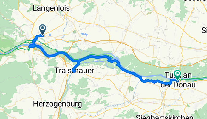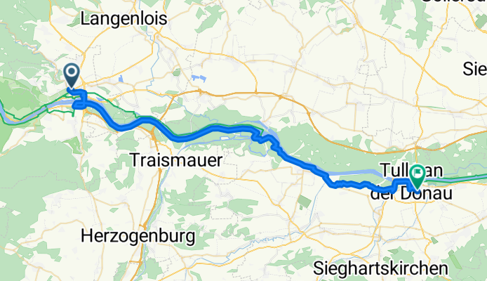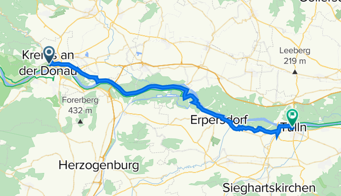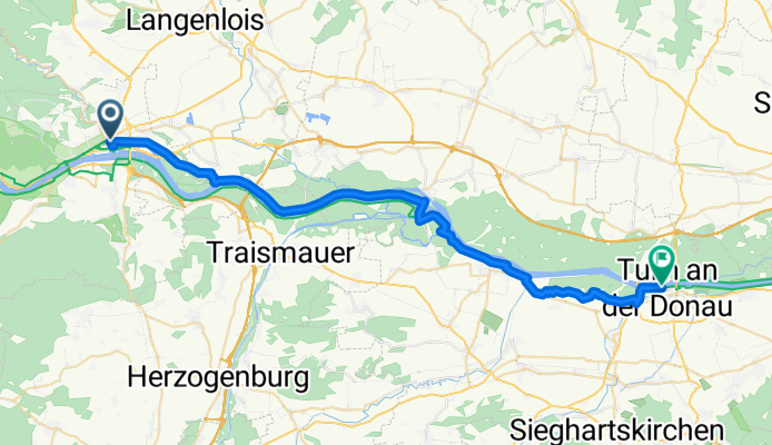

Jednodniowa wycieczka rowerowa z Krems an der Donau do Tulln
Dostosuj własną trasę na podstawie naszego szablonu lub zobacz, jak nasza społeczność najchętniej jeździ z Krems an der Donau do Tulln.
Szablon trasy
Z Krems an der Donau do Tulln
Get ready for a scenic ride from Krems to Tulln! This relaxed 47 km journey mostly hugs the mighty Danube, so you can expect long stretches of paved surfaces (almost 97%) and an easy, mostly flat profile—perfect for a leisurely day out.
You’ll start from Krems an der Donau, a charming university town famous for its historic old quarter and excellent white wines. Don’t miss the chance to grab a quick look at the medieval gate, Steiner Tor, before you roll out.
Most of the way you’ll be spinning along tracks and quiet rural roads, with just the occasional short bit of gravel or concrete. The scenery is pure Wachau: river vistas, vineyards, and rolling hills. You’ll barely notice the ascent—just under 80 meters total—so it’s a great route for all levels.
Finish up in Tulln, a lively small city famed as the “City of Flowers” and right on the riverbank, ideal for a celebratory ice cream. All in all, this is a beautiful, easy cruise perfect for exploring Lower Austria.
Wspólnota
Najlepsi użytkownicy w tym regionie
Od naszej społeczności
Najlepsze trasy rowerowe z Krems an der Donau do Tulln
Obere Hauptstraße - Hauptplatz
Trasa rowerowa w Krems an der Donau, Dolna Austria, Austria
- 54,1 km
- Dystans
- 113 m
- Przewyższenia
- 126 m
- Spadek
6.Tag von Krems nach Tulln
Trasa rowerowa w Krems an der Donau, Dolna Austria, Austria
- 46 km
- Dystans
- 166 m
- Przewyższenia
- 197 m
- Spadek
Retzer Straße to Hauptplatz
Trasa rowerowa w Krems an der Donau, Dolna Austria, Austria
- 42,1 km
- Dystans
- 91 m
- Przewyższenia
- 111 m
- Spadek
Passau - Vienne - Day 6
Trasa rowerowa w Krems an der Donau, Dolna Austria, Austria
- 42,5 km
- Dystans
- 20 m
- Przewyższenia
- 39 m
- Spadek
Donau-Radtour 2020 - Etappe 2
Trasa rowerowa w Krems an der Donau, Dolna Austria, Austria
- 41,7 km
- Dystans
- 31 m
- Przewyższenia
- 53 m
- Spadek
Krems Tulln
Trasa rowerowa w Krems an der Donau, Dolna Austria, Austria
- 47,4 km
- Dystans
- 101 m
- Przewyższenia
- 123 m
- Spadek
2014 Passau-Vienna 7
Trasa rowerowa w Krems an der Donau, Dolna Austria, Austria
- 47,8 km
- Dystans
- 17 m
- Przewyższenia
- 40 m
- Spadek
L06KremsTulln
Trasa rowerowa w Krems an der Donau, Dolna Austria, Austria
- 42,6 km
- Dystans
- 87 m
- Przewyższenia
- 108 m
- Spadek
#17 Krems - Tulln
Trasa rowerowa w Krems an der Donau, Dolna Austria, Austria
- 42,6 km
- Dystans
- 113 m
- Przewyższenia
- 132 m
- Spadek
Sommer 2019 VI
Trasa rowerowa w Krems an der Donau, Dolna Austria, Austria
- 43,4 km
- Dystans
- 26 m
- Przewyższenia
- 50 m
- Spadek
Etappe 6
Trasa rowerowa w Krems an der Donau, Dolna Austria, Austria
- 44,5 km
- Dystans
- 22 m
- Przewyższenia
- 51 m
- Spadek
Wachaustraße nach Nibelungenplatz
Trasa rowerowa w Krems an der Donau, Dolna Austria, Austria
- 42,6 km
- Dystans
- 96 m
- Przewyższenia
- 116 m
- Spadek
Odkryj więcej tras
 Donau-Radtour 2020 - Etappe 2
- Dystans
- 41,7 km
- Przewyższenia
- 31 m
- Spadek
- 53 m
- Lokalizacja
- Krems an der Donau, Dolna Austria, Austria
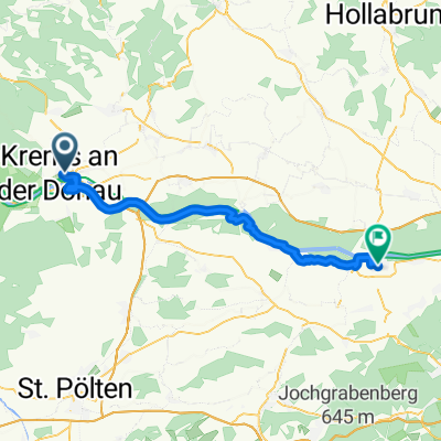 Krems Tulln
- Dystans
- 47,4 km
- Przewyższenia
- 101 m
- Spadek
- 123 m
- Lokalizacja
- Krems an der Donau, Dolna Austria, Austria
 2014 Passau-Vienna 7
- Dystans
- 47,8 km
- Przewyższenia
- 17 m
- Spadek
- 40 m
- Lokalizacja
- Krems an der Donau, Dolna Austria, Austria
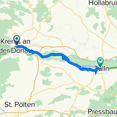 L06KremsTulln
- Dystans
- 42,6 km
- Przewyższenia
- 87 m
- Spadek
- 108 m
- Lokalizacja
- Krems an der Donau, Dolna Austria, Austria
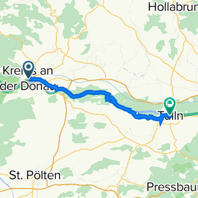 #17 Krems - Tulln
- Dystans
- 42,6 km
- Przewyższenia
- 113 m
- Spadek
- 132 m
- Lokalizacja
- Krems an der Donau, Dolna Austria, Austria
 Sommer 2019 VI
- Dystans
- 43,4 km
- Przewyższenia
- 26 m
- Spadek
- 50 m
- Lokalizacja
- Krems an der Donau, Dolna Austria, Austria
 Etappe 6
- Dystans
- 44,5 km
- Przewyższenia
- 22 m
- Spadek
- 51 m
- Lokalizacja
- Krems an der Donau, Dolna Austria, Austria
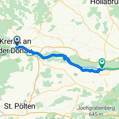 Wachaustraße nach Nibelungenplatz
- Dystans
- 42,6 km
- Przewyższenia
- 96 m
- Spadek
- 116 m
- Lokalizacja
- Krems an der Donau, Dolna Austria, Austria
Trasy z Krems an der Donau
Jednodniowa wycieczka rowerowa od
Z Krems an der Donau do Wiedeń
Jednodniowa wycieczka rowerowa od
Z Krems an der Donau do Melk
Rowerowa od
Z Krems an der Donau do Weinzierl bei Krems
Trasy do Tulln
Jednodniowa wycieczka rowerowa od
Z Melk do Tulln
Jednodniowa wycieczka rowerowa od
Z Wiedeń do Tulln


