
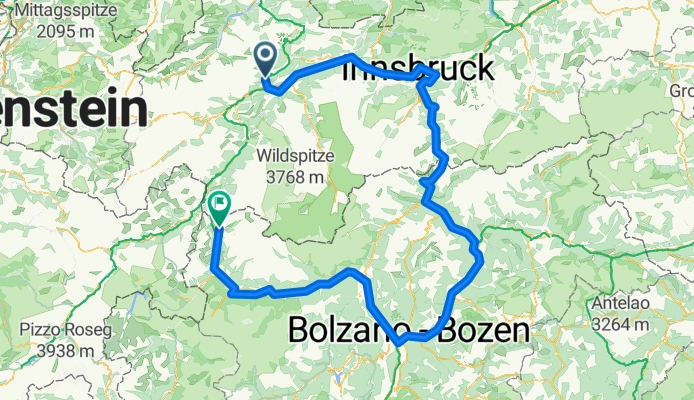
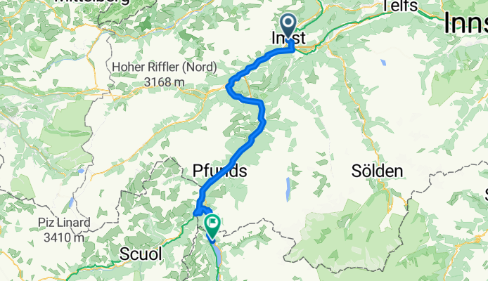
Bikepacking z Imst do Curon Venosta
Dostosuj własną trasę na podstawie naszego szablonu lub zobacz, jak nasza społeczność najchętniej jeździ z Imst do Curon Venosta.
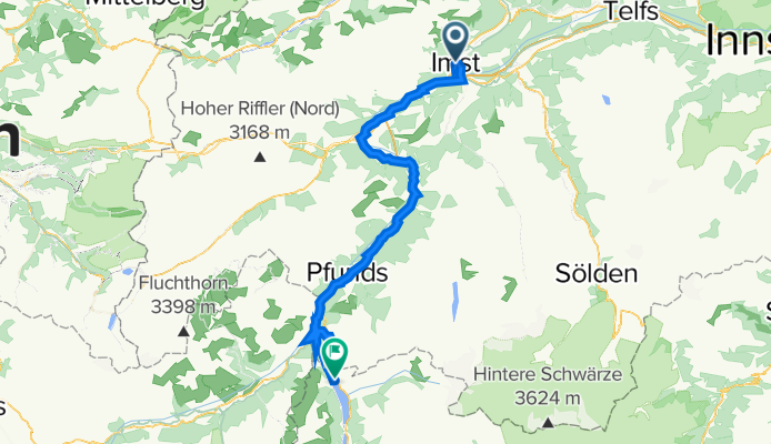
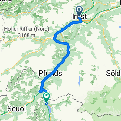
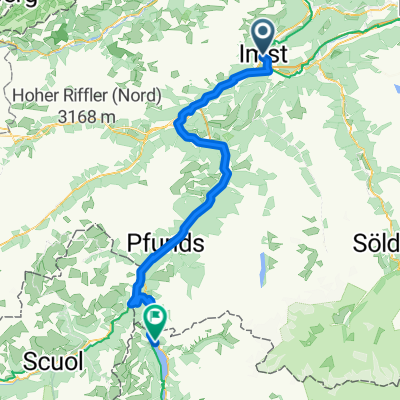
Szablon trasy
Z Imst do Curon Venosta
- 20 h 33 min
- Czas
- 329,8 km
- Dystans
- 6277 m
- Przewyższenia
- 5569 m
- Spadek
- 16 km/h
- Śr. Prędkość
- 1533 m
- Maks. wysokość
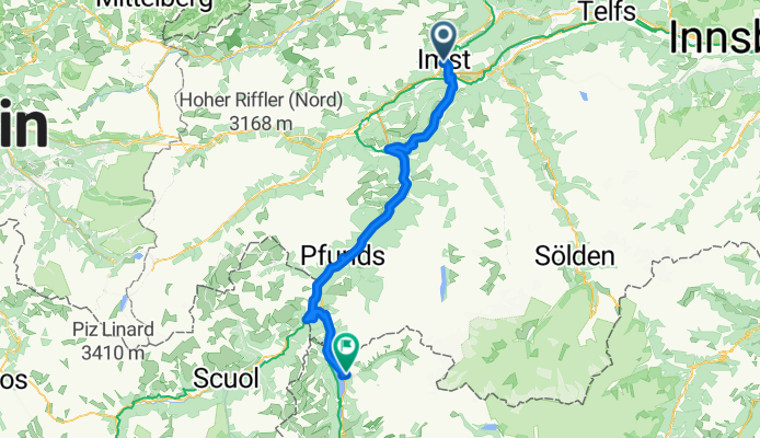
From Imst in Tyrol’s Upper Inn Valley, roll out on the Innradweg toward Landeck, then join the Via Claudia Augusta through Prutz and Pfunds to Nauders. The big climb tops out around 1,530 m at the Reschen/Resia Pass, then it’s a glorious run along Lake Resia to Graun im Vinschgau. Expect a long, multi‑day ride with punchy Alpine ramps (about 6,300 m of total ascent) but mostly friendly surfaces: roughly 90% paved and around 40% on dedicated cycleways. There’s a smidge of loose gravel, so 28–32 mm tires are perfect. You’ll briefly touch busier roads near towns, and a few short tunnels before Nauders—bring lights.
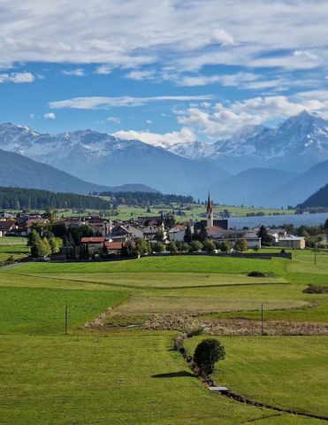
Imst is known for the Rosengartenschlucht gorge, the Alpine Coaster, and its UNESCO‑listed Schemenlaufen carnival. Graun greets you with the surreal church tower rising from Lake Resia—the remnant of the old village flooded in the 1950s. Great coffee stops: Prutz, Pfunds, Nauders; picnic spots all along the lake. Consider breaking the trip into stages like Imst–Pfunds–Nauders–Graun and soak up castle views and orchard‑lined paths through the Vinschgau.
Wspólnota
Najlepsi użytkownicy w tym regionie


Od naszej społeczności
Najlepsze trasy rowerowe z Imst do Curon Venosta

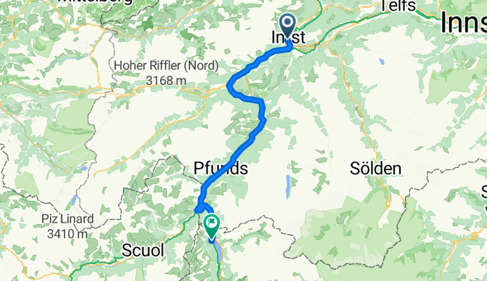
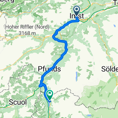
4.Etappe: Imst - Graun (Überquerung Reschenpass)
Trasa rowerowa w Imst, Tyrol, Austria
- 84,3 km
- Dystans
- 1148 m
- Przewyższenia
- 432 m
- Spadek

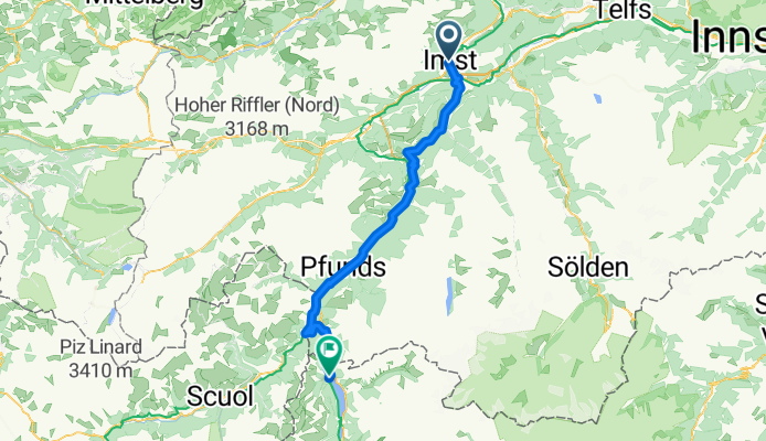
Imst - Graue im Vinschgau
Trasa rowerowa w Imst, Tyrol, Austria
- 83,5 km
- Dystans
- ---
- Przewyższenia
- ---
- Spadek

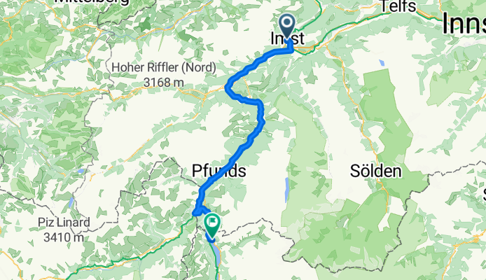
2_Etappe_Imst-Reschen_20211118
Trasa rowerowa w Imst, Tyrol, Austria
- 80,1 km
- Dystans
- 1148 m
- Przewyższenia
- 409 m
- Spadek

Planung 2016 - 3 - Imst - Reschen - einfacher
Trasa rowerowa w Imst, Tyrol, Austria
- 80,8 km
- Dystans
- 920 m
- Przewyższenia
- 216 m
- Spadek
Planung 2016 - 3 - Imst - Reschen
Trasa rowerowa w Imst, Tyrol, Austria
- 74,6 km
- Dystans
- 1609 m
- Przewyższenia
- 905 m
- Spadek
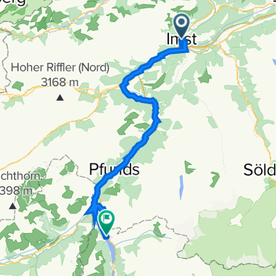
Imst to Reschen - Resia
Trasa rowerowa w Imst, Tyrol, Austria
- 80,7 km
- Dystans
- 2453 m
- Przewyższenia
- 1719 m
- Spadek


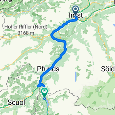
Teil_2_20220713_Imst_Norbertshöhe Reschen
Trasa rowerowa w Imst, Tyrol, Austria
- 88,6 km
- Dystans
- 2101 m
- Przewyższenia
- 1382 m
- Spadek
Odkryj więcej tras
 Alpen 2
- Dystans
- 84,4 km
- Przewyższenia
- 958 m
- Spadek
- 241 m
- Lokalizacja
- Imst, Tyrol, Austria
 2_Etappe_Imst-Reschen_20211118
- Dystans
- 80,1 km
- Przewyższenia
- 1148 m
- Spadek
- 409 m
- Lokalizacja
- Imst, Tyrol, Austria
 Imst - Nauders
- Dystans
- 79,8 km
- Przewyższenia
- 901 m
- Spadek
- 180 m
- Lokalizacja
- Imst, Tyrol, Austria
 Planung 2016 - 3 - Imst - Reschen - einfacher
- Dystans
- 80,8 km
- Przewyższenia
- 920 m
- Spadek
- 216 m
- Lokalizacja
- Imst, Tyrol, Austria
 Planung 2016 - 3 - Imst - Reschen
- Dystans
- 74,6 km
- Przewyższenia
- 1609 m
- Spadek
- 905 m
- Lokalizacja
- Imst, Tyrol, Austria
 Imst to Reschen - Resia
- Dystans
- 80,7 km
- Przewyższenia
- 2453 m
- Spadek
- 1719 m
- Lokalizacja
- Imst, Tyrol, Austria
 Teil_2_20220713_Imst_Norbertshöhe Reschen
- Dystans
- 88,6 km
- Przewyższenia
- 2101 m
- Spadek
- 1382 m
- Lokalizacja
- Imst, Tyrol, Austria
 VCA 2
VCA 2- Dystans
- 82,2 km
- Przewyższenia
- 924 m
- Spadek
- 205 m
- Lokalizacja
- Imst, Tyrol, Austria
Trasy z Imst
Bikepacking od
Z Imst do Nauders
Jednodniowa wycieczka rowerowa od
Z Imst do Pfunds
Trasy do Curon Venosta
Bikepacking od
Z Landeck do Curon Venosta
Szybka przejażdżka rowerowa od
Z Nauders do Curon Venosta
Szybka przejażdżka rowerowa od
Z Malles Venosta do Curon Venosta