
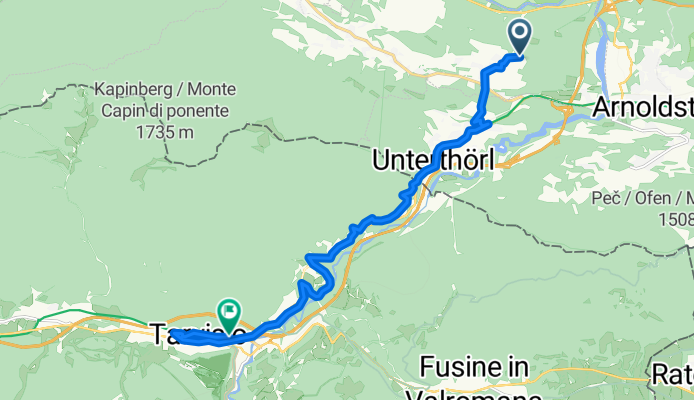
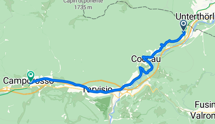
Rowerowa z Hohenthurn do Tarvisio
Dostosuj własną trasę na podstawie naszego szablonu lub zobacz, jak nasza społeczność najchętniej jeździ z Hohenthurn do Tarvisio.
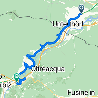
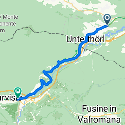
Szablon trasy
Z Hohenthurn do Tarvisio
- 57 min
- Czas
- 14,6 km
- Dystans
- 441 m
- Przewyższenia
- 343 m
- Spadek
- 15,3 km/h
- Śr. Prędkość
- 783 m
- Maks. wysokość
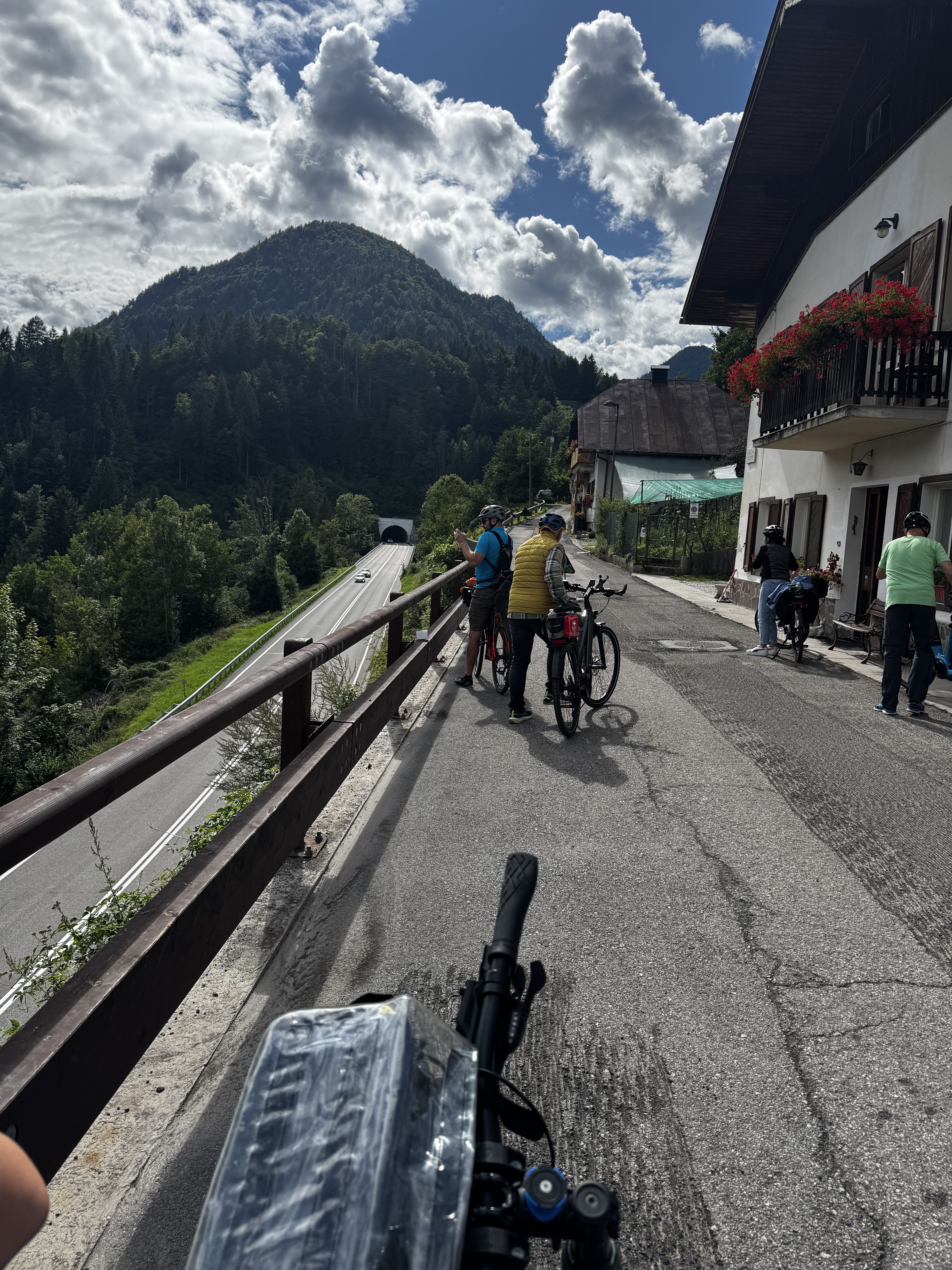
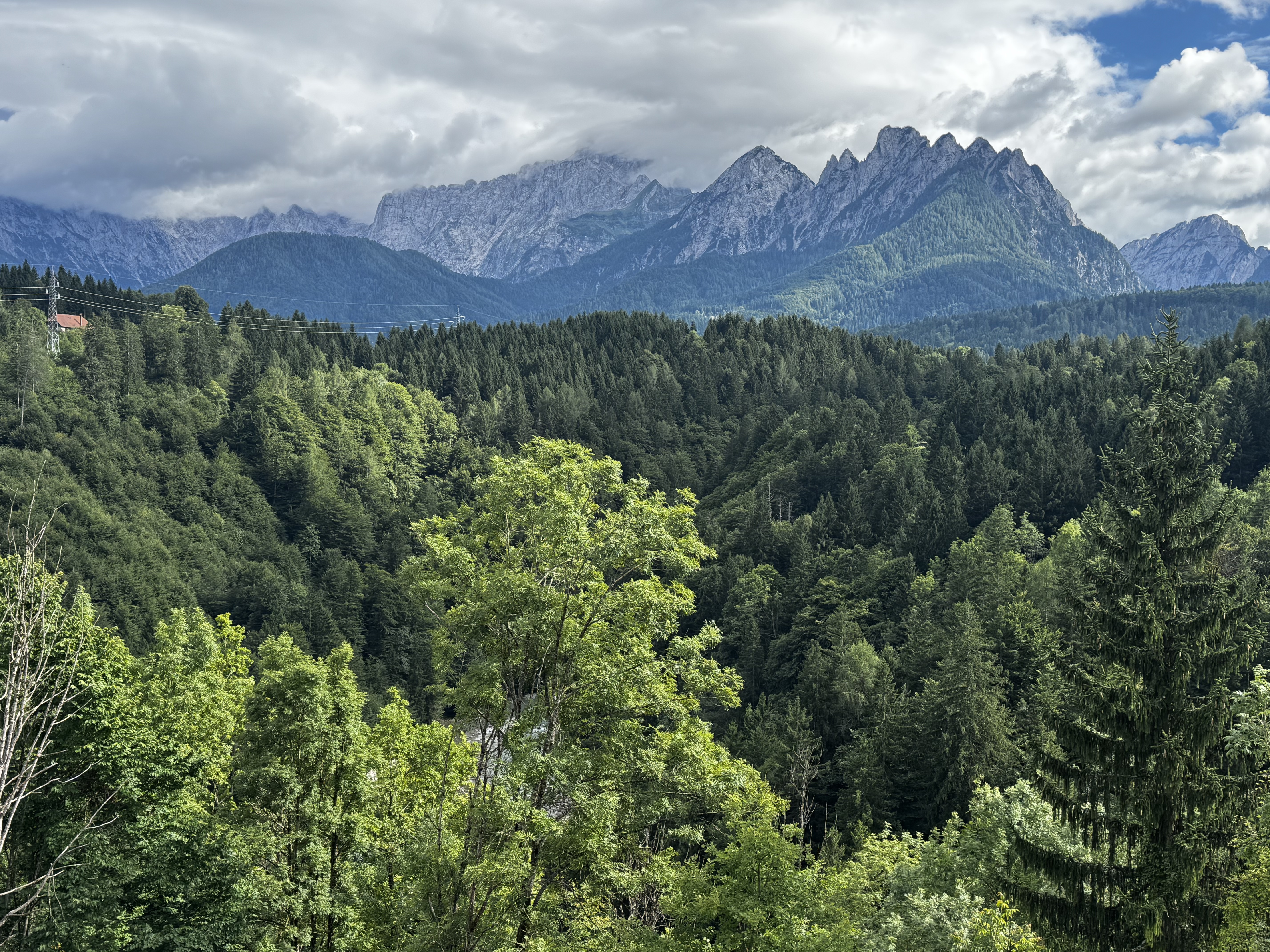
This scenic ride takes you from the small Austrian village of Hohenthurn to the charming Italian town of Tarvisio—a perfect cross-border adventure! Starting in Hohenthurn, nestled in the Gail Valley and known for its beautiful mountain backdrop, you'll pedal mostly on cycleways and quiet roads, soaking in the views as you climb gently through the border region.
The route covers about 15 km and features a good mix of smooth asphalt, so your wheels will roll nicely for most of it. Expect a satisfying ascent of over 440 meters (hello, awesome panoramas) before you descend into Tarvisio. You’ll notice the vibe shift as you roll into Italy—Tarvisio is part of the Friuli Venezia Giulia region and has a lively alpine flair, with plenty of cozy cafes and gelaterias to refuel.
Don’t forget your passport—you’ll be crossing a real international border! All in all, this ride is a wonderful introduction to cycling in the Alps, blending cultures, languages, and some gorgeous mountain scenery in one bite-sized adventure.
Wspólnota
Najlepsi użytkownicy w tym regionie


Od naszej społeczności
Najlepsze trasy rowerowe z Hohenthurn do Tarvisio
Tarvisio do Via Valcanale, Tarvisio
Trasa rowerowa w Hohenthurn, Karyntia, Austria
- 11,6 km
- Dystans
- 167 m
- Przewyższenia
- 62 m
- Spadek
Von Arnoldstein bis lago di fusine
Trasa rowerowa w Hohenthurn, Karyntia, Austria
- 15,5 km
- Dystans
- 691 m
- Przewyższenia
- 413 m
- Spadek
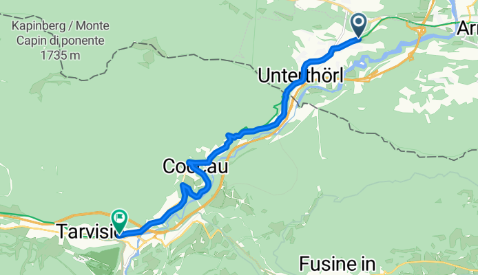
Von Arnoldstein bis Chiusaforte
Trasa rowerowa w Hohenthurn, Karyntia, Austria
- 85,5 km
- Dystans
- 3497 m
- Przewyższenia
- 2395 m
- Spadek


Von Arnoldstein bis Tarvis
Trasa rowerowa w Hohenthurn, Karyntia, Austria
- 9,9 km
- Dystans
- 390 m
- Przewyższenia
- 300 m
- Spadek
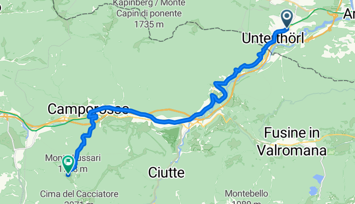
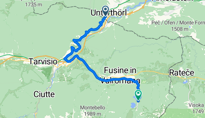
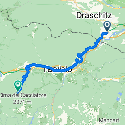
Route zu Monte Lussari
Trasa rowerowa w Hohenthurn, Karyntia, Austria
- 18,2 km
- Dystans
- 1411 m
- Przewyższenia
- 327 m
- Spadek

1. Tag Thörl Maglern- Tarvis Hotel
Trasa rowerowa w Hohenthurn, Karyntia, Austria
- 9,6 km
- Dystans
- 241 m
- Przewyższenia
- 130 m
- Spadek
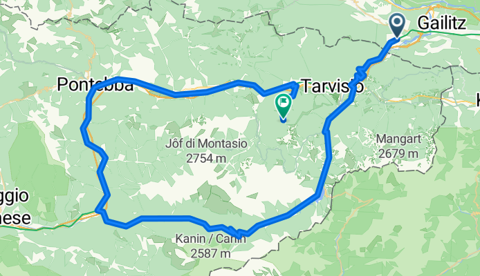
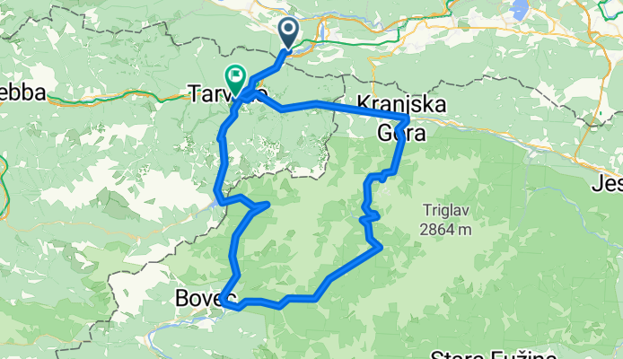
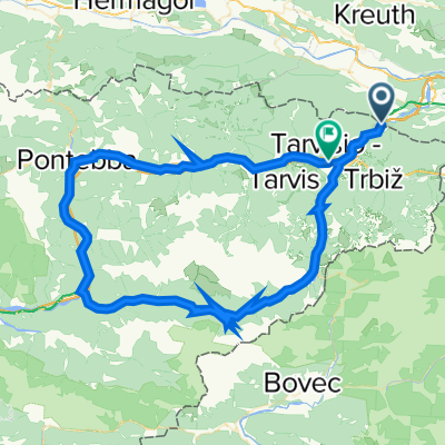
Sella Nevea
Trasa rowerowa w Hohenthurn, Karyntia, Austria
- 82,1 km
- Dystans
- 2090 m
- Przewyższenia
- 1982 m
- Spadek
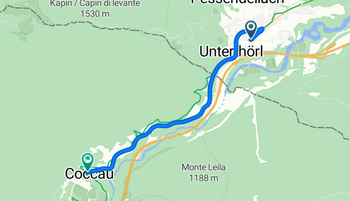
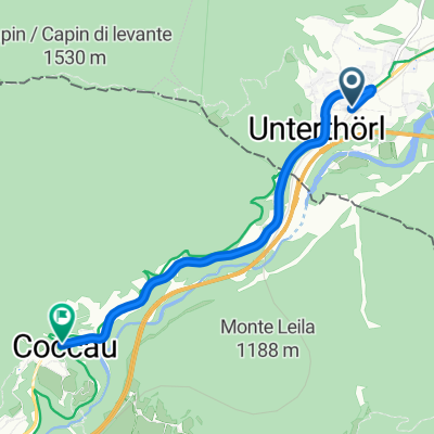
Bhf Unterthörl - Beginn Radweg Pontebana
Trasa rowerowa w Hohenthurn, Karyntia, Austria
- 4,8 km
- Dystans
- 127 m
- Przewyższenia
- 51 m
- Spadek
Maglern 268/2, Arnoldstein nach Via Bamberga 3, Tarvisio
Trasa rowerowa w Hohenthurn, Karyntia, Austria
- 10,1 km
- Dystans
- 155 m
- Przewyższenia
- 116 m
- Spadek
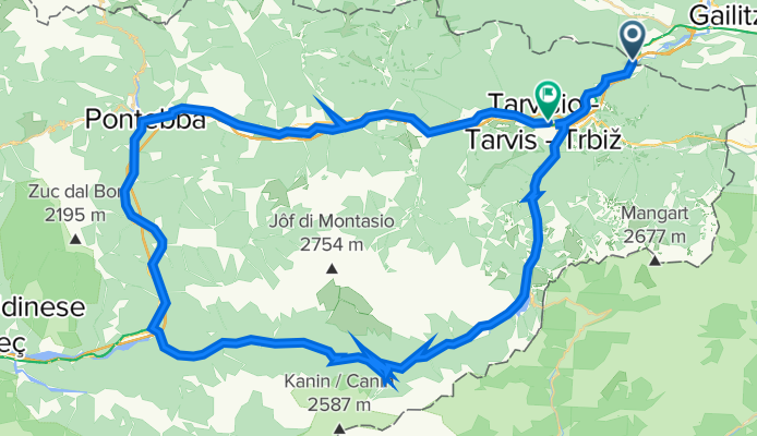
Tarvisio-Krajnska Gora-Trenta na logu- Soca-log pod mangartom-cave del predil-tarvisio
Trasa rowerowa w Hohenthurn, Karyntia, Austria
- 97,1 km
- Dystans
- 1890 m
- Przewyższenia
- 1830 m
- Spadek
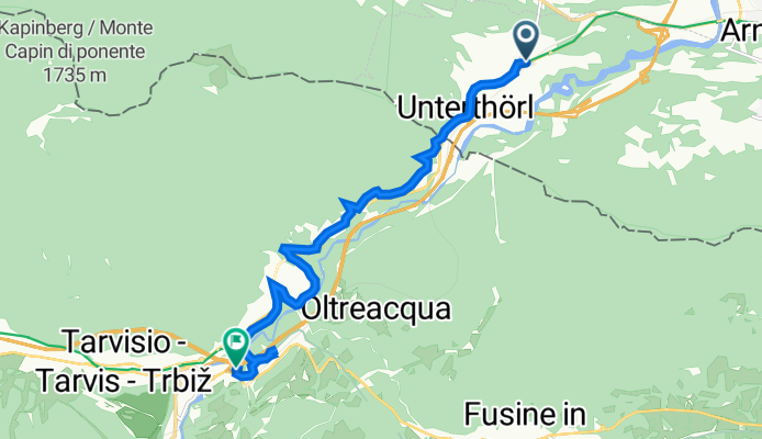
Kärntner Straße - Via Vittorio Veneto
Trasa rowerowa w Hohenthurn, Karyntia, Austria
- 10,1 km
- Dystans
- 134 m
- Przewyższenia
- 58 m
- Spadek
Odkryj więcej tras
 Von Arnoldstein bis Tarvis
- Dystans
- 9,9 km
- Przewyższenia
- 390 m
- Spadek
- 300 m
- Lokalizacja
- Hohenthurn, Karyntia, Austria
 Route zu Monte Lussari
- Dystans
- 18,2 km
- Przewyższenia
- 1411 m
- Spadek
- 327 m
- Lokalizacja
- Hohenthurn, Karyntia, Austria
 1. Tag Thörl Maglern- Tarvis Hotel
- Dystans
- 9,6 km
- Przewyższenia
- 241 m
- Spadek
- 130 m
- Lokalizacja
- Hohenthurn, Karyntia, Austria
 Sella Nevea
- Dystans
- 82,1 km
- Przewyższenia
- 2090 m
- Spadek
- 1982 m
- Lokalizacja
- Hohenthurn, Karyntia, Austria
 Bhf Unterthörl - Beginn Radweg Pontebana
- Dystans
- 4,8 km
- Przewyższenia
- 127 m
- Spadek
- 51 m
- Lokalizacja
- Hohenthurn, Karyntia, Austria
 Maglern 268/2, Arnoldstein nach Via Bamberga 3, Tarvisio
- Dystans
- 10,1 km
- Przewyższenia
- 155 m
- Spadek
- 116 m
- Lokalizacja
- Hohenthurn, Karyntia, Austria
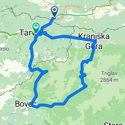 Tarvisio-Krajnska Gora-Trenta na logu- Soca-log pod mangartom-cave del predil-tarvisio
- Dystans
- 97,1 km
- Przewyższenia
- 1890 m
- Spadek
- 1830 m
- Lokalizacja
- Hohenthurn, Karyntia, Austria
 Kärntner Straße - Via Vittorio Veneto
- Dystans
- 10,1 km
- Przewyższenia
- 134 m
- Spadek
- 58 m
- Lokalizacja
- Hohenthurn, Karyntia, Austria
Trasy do Tarvisio
Jednodniowa wycieczka rowerowa od
Z Bled do Tarvisio
Jednodniowa wycieczka rowerowa od
Z Hrušica do Tarvisio
Rowerowa od
Z Malborghetto Valbruna do Tarvisio
Rowerowa od
Z Arnoldstein do Tarvisio