
Rowerowa z Zehlendorf do Lichterfelde
Dostosuj własną trasę na podstawie naszego szablonu lub zobacz, jak nasza społeczność najchętniej jeździ z Zehlendorf do Lichterfelde.
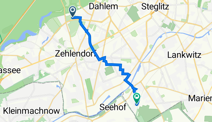
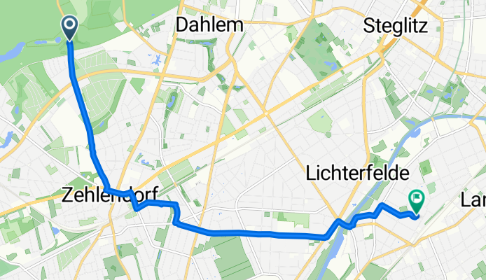
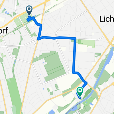
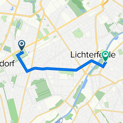
Szablon trasy
Z Zehlendorf do Lichterfelde
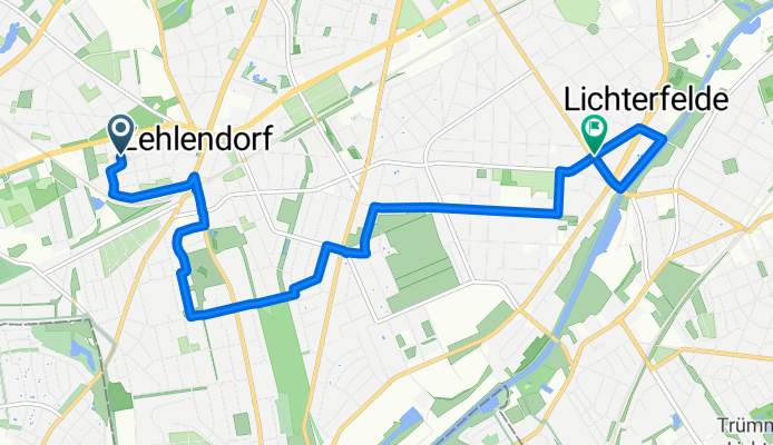
- 32 min
- Czas
- 8,4 km
- Dystans
- 25 m
- Przewyższenia
- 27 m
- Spadek
- 15,7 km/h
- Śr. Prędkość
- 54 m
- Maks. wysokość
This relaxed cycling route takes you from Zehlendorf to Lichterfelde, both lovely neighborhoods in the southwest of Berlin. Starting in Zehlendorf, a district known for its leafy parks and classic Berlin villas, you’ll roll eastward on mostly quiet roads—making it a low-stress ride, great for everyday cyclists.
The route stretches about 8.4 km in total, and it’s pretty much flat with just a bit of gentle up and down, so you can focus more on enjoying the scenery than breaking a sweat. You’ll mainly ride on paved and asphalt surfaces, with a few sections of paving stones and the occasional patch of gravel—nothing that standard city bikes can’t handle.
As you approach Lichterfelde, look out for its beautiful old villas and the historic Lichterfelde West station, one of Germany’s oldest suburban railway stations. Overall, it’s a pleasant, safe ride with a friendly neighborhood vibe—perfect for a relaxed morning spin or commuting with a bit of style.
Wspólnota
Najlepsi użytkownicy w tym regionie


Od naszej społeczności
Najlepsze trasy rowerowe z Zehlendorf do Lichterfelde

Mörchinger Straße 91, Berlin nach Platz des 4. Juli 12, Berlin
Trasa rowerowa w Zehlendorf, Land Berlin, Niemcy
- 4,2 km
- Dystans
- 0 m
- Przewyższenia
- 3 m
- Spadek
Haus vom Nikolaus
Trasa rowerowa w Zehlendorf, Land Berlin, Niemcy
- 29,1 km
- Dystans
- 63 m
- Przewyższenia
- 63 m
- Spadek

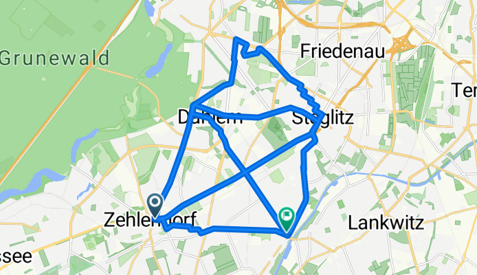
Fayaz Polen
Trasa rowerowa w Zehlendorf, Land Berlin, Niemcy
- 218,6 km
- Dystans
- 197 m
- Przewyższenia
- 199 m
- Spadek
Mörchinger Straße 94, Berlin nach Platz des 4. Juli 12, Berlin
Trasa rowerowa w Zehlendorf, Land Berlin, Niemcy
- 5,6 km
- Dystans
- 136 m
- Przewyższenia
- 146 m
- Spadek
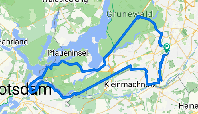
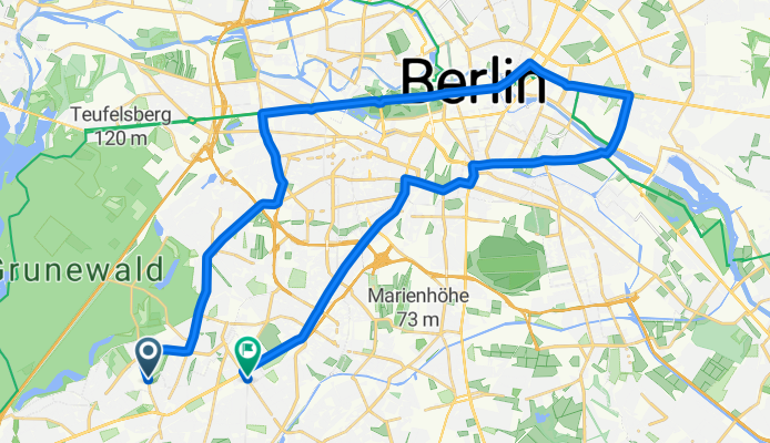
Postdam Tour Ado
Trasa rowerowa w Zehlendorf, Land Berlin, Niemcy
- 47,6 km
- Dystans
- 164 m
- Przewyższenia
- 167 m
- Spadek
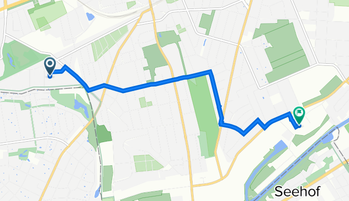
Hochsitzweg 107, Berlin nach Westfalenring 3A, Berlin
Trasa rowerowa w Zehlendorf, Land Berlin, Niemcy
- 7,8 km
- Dystans
- 18 m
- Przewyższenia
- 24 m
- Spadek
Mörchinger Straße 69, Berlin nach Kol. Neues Leben 79, Berlin
Trasa rowerowa w Zehlendorf, Land Berlin, Niemcy
- 4,2 km
- Dystans
- 8 m
- Przewyższenia
- 23 m
- Spadek
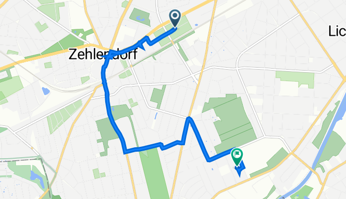
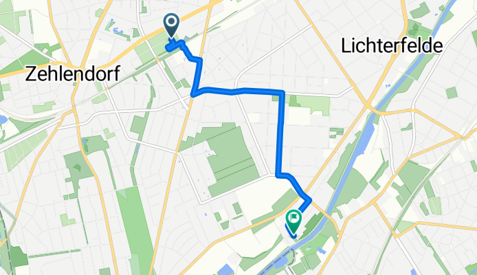
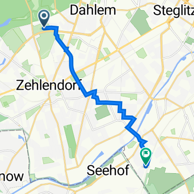
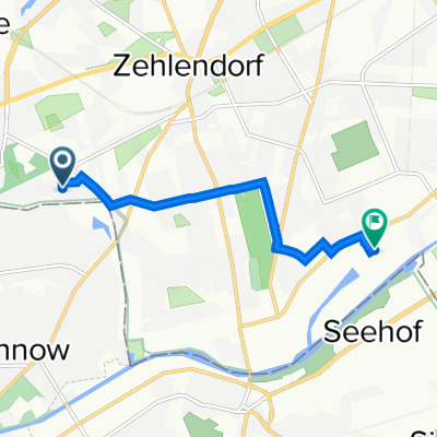
Onkel-Tom-Straße nach Lichterfelde West
Trasa rowerowa w Zehlendorf, Land Berlin, Niemcy
- 37,2 km
- Dystans
- 152 m
- Przewyższenia
- 197 m
- Spadek

Brittendorfer Weg 16B, Berlin nach Saaleckplatz 3, Berlin
Trasa rowerowa w Zehlendorf, Land Berlin, Niemcy
- 6 km
- Dystans
- 9 m
- Przewyższenia
- 7 m
- Spadek
Gütergotzer Straße 83, Berlin nach Goerzallee 189, Berlin
Trasa rowerowa w Zehlendorf, Land Berlin, Niemcy
- 4,6 km
- Dystans
- 12 m
- Przewyższenia
- 11 m
- Spadek
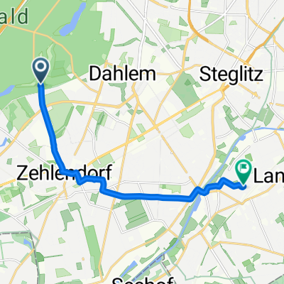
Onkel-Tom-Straße, Berlin nach Promenadenstraße, Berlin
Trasa rowerowa w Zehlendorf, Land Berlin, Niemcy
- 8,2 km
- Dystans
- 84 m
- Przewyższenia
- 88 m
- Spadek
Mörchinger Straße 80, Berlin to Ostpreußendamm 166, Berlin
Trasa rowerowa w Zehlendorf, Land Berlin, Niemcy
- 4,1 km
- Dystans
- 4 m
- Przewyższenia
- 14 m
- Spadek
Odkryj więcej tras
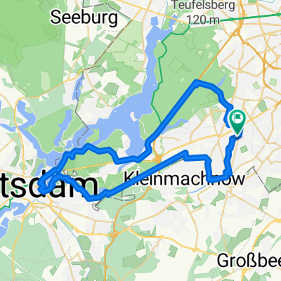 Postdam Tour Ado
- Dystans
- 47,6 km
- Przewyższenia
- 164 m
- Spadek
- 167 m
- Lokalizacja
- Zehlendorf, Land Berlin, Niemcy
 Hochsitzweg 107, Berlin nach Westfalenring 3A, Berlin
- Dystans
- 7,8 km
- Przewyższenia
- 18 m
- Spadek
- 24 m
- Lokalizacja
- Zehlendorf, Land Berlin, Niemcy
 Mörchinger Straße 69, Berlin nach Kol. Neues Leben 79, Berlin
- Dystans
- 4,2 km
- Przewyższenia
- 8 m
- Spadek
- 23 m
- Lokalizacja
- Zehlendorf, Land Berlin, Niemcy
 Onkel-Tom-Straße nach Lichterfelde West
- Dystans
- 37,2 km
- Przewyższenia
- 152 m
- Spadek
- 197 m
- Lokalizacja
- Zehlendorf, Land Berlin, Niemcy
 Brittendorfer Weg 16B, Berlin nach Saaleckplatz 3, Berlin
- Dystans
- 6 km
- Przewyższenia
- 9 m
- Spadek
- 7 m
- Lokalizacja
- Zehlendorf, Land Berlin, Niemcy
 Gütergotzer Straße 83, Berlin nach Goerzallee 189, Berlin
- Dystans
- 4,6 km
- Przewyższenia
- 12 m
- Spadek
- 11 m
- Lokalizacja
- Zehlendorf, Land Berlin, Niemcy
 Onkel-Tom-Straße, Berlin nach Promenadenstraße, Berlin
- Dystans
- 8,2 km
- Przewyższenia
- 84 m
- Spadek
- 88 m
- Lokalizacja
- Zehlendorf, Land Berlin, Niemcy
 Mörchinger Straße 80, Berlin to Ostpreußendamm 166, Berlin
- Dystans
- 4,1 km
- Przewyższenia
- 4 m
- Spadek
- 14 m
- Lokalizacja
- Zehlendorf, Land Berlin, Niemcy
Trasy z Zehlendorf
Rowerowa od
Z Zehlendorf do Teltow
Trasy do Lichterfelde
Rowerowa od
Z Teltow do Lichterfelde