
Jednodniowa wycieczka rowerowa z Tuttlingen do Sigmaringen
Dostosuj własną trasę na podstawie naszego szablonu lub zobacz, jak nasza społeczność najchętniej jeździ z Tuttlingen do Sigmaringen.
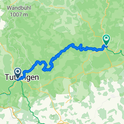
Szablon trasy
Z Tuttlingen do Sigmaringen

- 3 h
- Czas
- 50,7 km
- Dystans
- 560 m
- Przewyższenia
- 616 m
- Spadek
- 16,9 km/h
- Śr. Prędkość
- 784 m
- Maks. wysokość
Ready for a rewarding ride through the Upper Danube Valley? Set off from Tuttlingen, the charming gateway to the Danube, famous for its clock-making roots and peaceful riverside vibe. Your route to Sigmaringen is just over 50 km—long enough to soak in gorgeous scenery, but not so tough you’ll miss out on fun.
You’ll follow mainly quiet roads, swooping through lush valleys, rolling hills, and the dramatic limestone cliffs that make this region so spectacular. Expect a few climbs (there’s about 560 meters of ascent in total), but the descents more than make up for it! The surface is mostly smooth, though you’ll encounter some gravel and unpaved sections—just enough to add a little adventure.
As you pedal into Sigmaringen, you can’t miss the fairy-tale castle perched above the Danube—a perfect photo stop to celebrate your ride. Both towns anchor the famed Danube Cycle Path, so you’ll be rolling along one of Germany’s most beautiful cycling corridors. Enjoy the journey!
Wspólnota
Najlepsi użytkownicy w tym regionie


Od naszej społeczności
Najlepsze trasy rowerowe z Tuttlingen do Sigmaringen

EV6 - Day 24
Trasa rowerowa w Tuttlingen, Badenia-Wirtembergia, Niemcy
- 55,3 km
- Dystans
- 169 m
- Przewyższenia
- 244 m
- Spadek
Tuttlingen- Sigmaringen 28.05.16
Trasa rowerowa w Tuttlingen, Badenia-Wirtembergia, Niemcy
- 56,3 km
- Dystans
- 216 m
- Przewyższenia
- 272 m
- Spadek

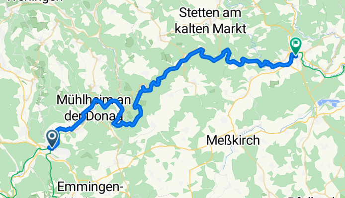
D - Donauradweg-2 - Tuttlingen-Sigmaringen - (NF) - 56 km
Trasa rowerowa w Tuttlingen, Badenia-Wirtembergia, Niemcy
- 56,2 km
- Dystans
- 198 m
- Przewyższenia
- 273 m
- Spadek

Tuttlingen-Sigmaringen
Trasa rowerowa w Tuttlingen, Badenia-Wirtembergia, Niemcy
- 57,9 km
- Dystans
- 291 m
- Przewyższenia
- 360 m
- Spadek

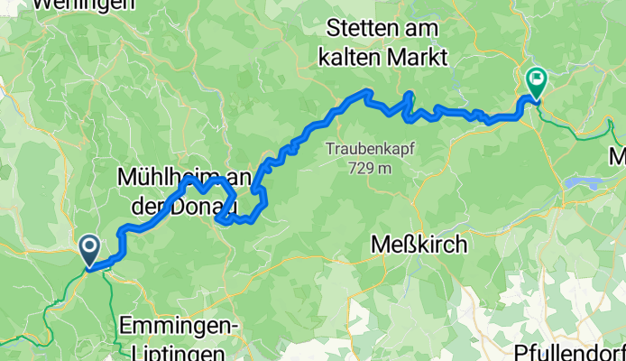
Donauradwanderweg von TUT nach SIG
Trasa rowerowa w Tuttlingen, Badenia-Wirtembergia, Niemcy
- 56,9 km
- Dystans
- 301 m
- Przewyższenia
- 377 m
- Spadek

Tuttlingen-Sigmaringen Donautour
Trasa rowerowa w Tuttlingen, Badenia-Wirtembergia, Niemcy
- 57,1 km
- Dystans
- 270 m
- Przewyższenia
- 316 m
- Spadek

Tuttlingen-Sigmaringen
Trasa rowerowa w Tuttlingen, Badenia-Wirtembergia, Niemcy
- 40,6 km
- Dystans
- 361 m
- Przewyższenia
- 423 m
- Spadek

Tuttlingen - Sigmaringen
Trasa rowerowa w Tuttlingen, Badenia-Wirtembergia, Niemcy
- 54,7 km
- Dystans
- 206 m
- Przewyższenia
- 281 m
- Spadek

Tuttlingen-Sigmarigen
Trasa rowerowa w Tuttlingen, Badenia-Wirtembergia, Niemcy
- 59,5 km
- Dystans
- 228 m
- Przewyższenia
- 378 m
- Spadek

Tuttlingen - Sigmaringen
Trasa rowerowa w Tuttlingen, Badenia-Wirtembergia, Niemcy
- 54,9 km
- Dystans
- 183 m
- Przewyższenia
- 252 m
- Spadek

Tuttlingen-Sigmaringen
Trasa rowerowa w Tuttlingen, Badenia-Wirtembergia, Niemcy
- 57,6 km
- Dystans
- 199 m
- Przewyższenia
- 274 m
- Spadek
Donauradwanderweg von Tuttlingen nach Sigmaringen
Trasa rowerowa w Tuttlingen, Badenia-Wirtembergia, Niemcy
- 58,3 km
- Dystans
- 859 m
- Przewyższenia
- 905 m
- Spadek
Odkryj więcej tras
 Donauradwanderweg von TUT nach SIG
- Dystans
- 56,9 km
- Przewyższenia
- 301 m
- Spadek
- 377 m
- Lokalizacja
- Tuttlingen, Badenia-Wirtembergia, Niemcy
 Tuttlingen-Sigmaringen Donautour
- Dystans
- 57,1 km
- Przewyższenia
- 270 m
- Spadek
- 316 m
- Lokalizacja
- Tuttlingen, Badenia-Wirtembergia, Niemcy
 Tuttlingen-Sigmaringen
- Dystans
- 40,6 km
- Przewyższenia
- 361 m
- Spadek
- 423 m
- Lokalizacja
- Tuttlingen, Badenia-Wirtembergia, Niemcy
 Tuttlingen - Sigmaringen
- Dystans
- 54,7 km
- Przewyższenia
- 206 m
- Spadek
- 281 m
- Lokalizacja
- Tuttlingen, Badenia-Wirtembergia, Niemcy
 Tuttlingen-Sigmarigen
- Dystans
- 59,5 km
- Przewyższenia
- 228 m
- Spadek
- 378 m
- Lokalizacja
- Tuttlingen, Badenia-Wirtembergia, Niemcy
 Tuttlingen - Sigmaringen
- Dystans
- 54,9 km
- Przewyższenia
- 183 m
- Spadek
- 252 m
- Lokalizacja
- Tuttlingen, Badenia-Wirtembergia, Niemcy
 Tuttlingen-Sigmaringen
- Dystans
- 57,6 km
- Przewyższenia
- 199 m
- Spadek
- 274 m
- Lokalizacja
- Tuttlingen, Badenia-Wirtembergia, Niemcy
 Donauradwanderweg von Tuttlingen nach Sigmaringen
- Dystans
- 58,3 km
- Przewyższenia
- 859 m
- Spadek
- 905 m
- Lokalizacja
- Tuttlingen, Badenia-Wirtembergia, Niemcy
Trasy do Sigmaringen
Jednodniowa wycieczka rowerowa od
Z Fridingen an der Donau do Sigmaringen
Jednodniowa wycieczka rowerowa od
Z Donaueschingen do Sigmaringen