
Jednodniowa wycieczka rowerowa z Rothenburg nad Tauber do Dinkelsbühl
Dostosuj własną trasę na podstawie naszego szablonu lub zobacz, jak nasza społeczność najchętniej jeździ z Rothenburg nad Tauber do Dinkelsbühl.
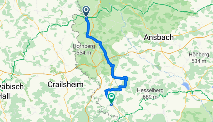
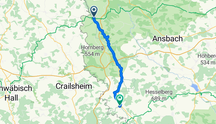
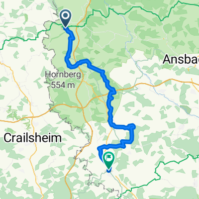
Szablon trasy
Z Rothenburg nad Tauber do Dinkelsbühl
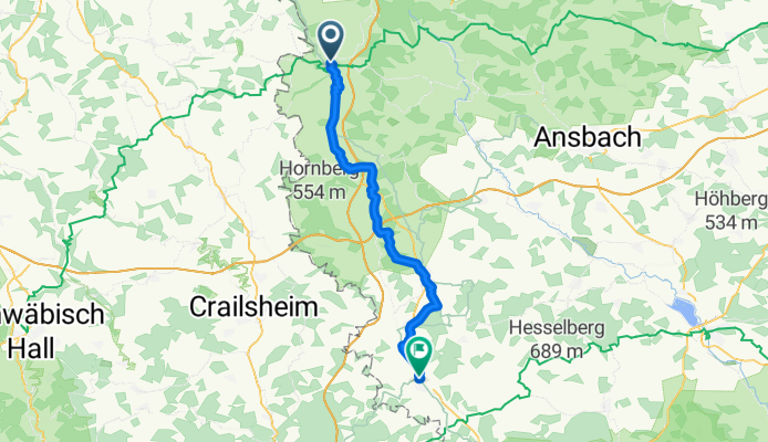
- 3 h 7 min
- Czas
- 49,6 km
- Dystans
- 425 m
- Przewyższenia
- 411 m
- Spadek
- 15,9 km/h
- Śr. Prędkość
- 537 m
- Maks. wysokość
This scenic cycling route takes you from the medieval gem of Rothenburg ob der Tauber all the way south to Dinkelsbühl, rolling through just under 50 km of the Franconian countryside. Rothenburg is famous for its perfectly preserved old town—which looks like it jumped right out of a fairy tale—so if you haven’t been before, take a quick spin around the city walls before heading out!
The ride is quite diverse: most of the terrain is on quiet country roads (about 57%), with some peaceful tracks and a handful of gentle paths winding through fields and gentle hills. You’ll climb and descend a bit (over 400 meters both up and down), so expect some good views! Most of the way is paved or asphalt, but bring a sturdy bike as there’s a mix of gravel and a few unpaved sections too.
Your reward at the end is another stunning medieval town: Dinkelsbühl, known for its colorful timbered houses and lively town square. Take a break, soak in the history, and maybe treat yourself to a coffee or a classic Franconian pastry!
Wspólnota
Najlepsi użytkownicy w tym regionie


Od naszej społeczności
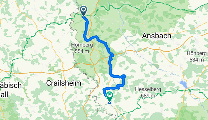
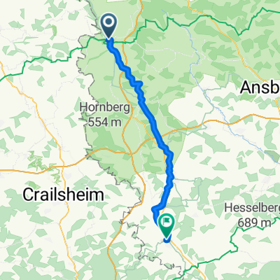
Najlepsze trasy rowerowe z Rothenburg nad Tauber do Dinkelsbühl
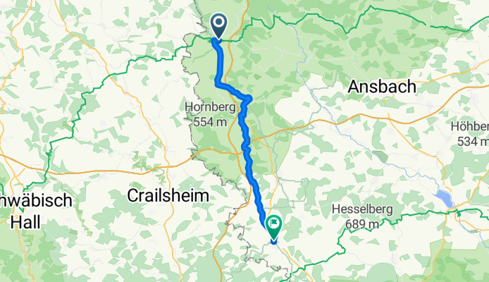
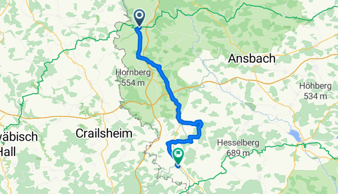
TT8_Bierfranken_Romantische-Straße
Trasa rowerowa w Rothenburg nad Tauber, Bawaria, Niemcy
- 46,1 km
- Dystans
- 279 m
- Przewyższenia
- 259 m
- Spadek
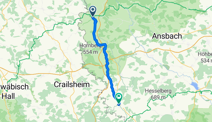
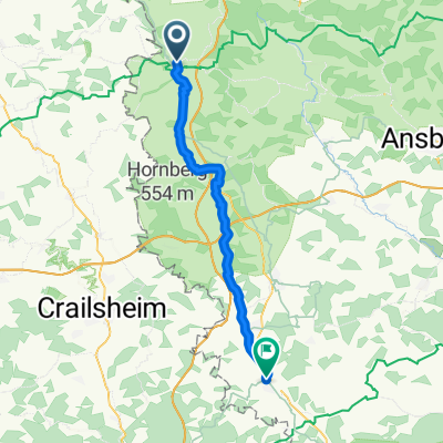
Nördlinger Straße, Rothenburg ob der Tauber nach Segringer Straße, Dinkelsbühl
Trasa rowerowa w Rothenburg nad Tauber, Bawaria, Niemcy
- 43,4 km
- Dystans
- 253 m
- Przewyższenia
- 218 m
- Spadek
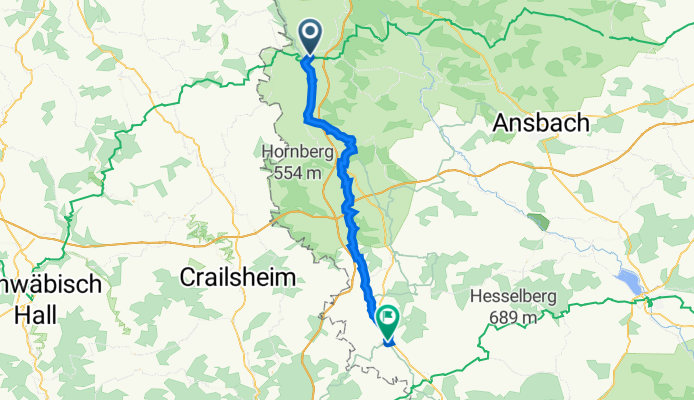
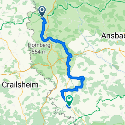
2. Etappe Sommertour
Trasa rowerowa w Rothenburg nad Tauber, Bawaria, Niemcy
- 44,7 km
- Dystans
- 279 m
- Przewyższenia
- 260 m
- Spadek
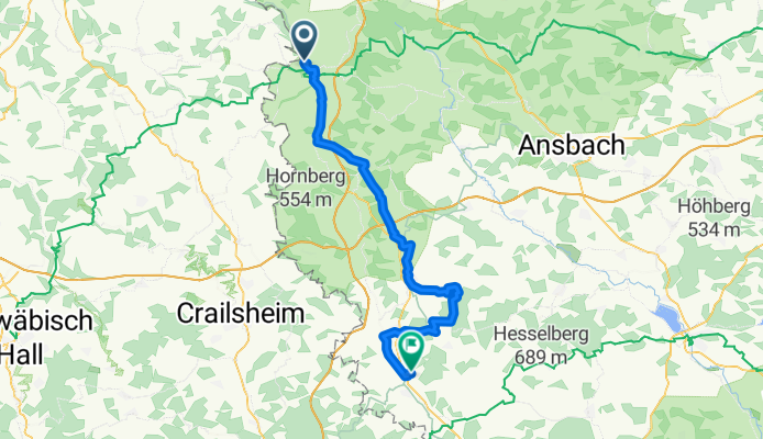
3. Rothenburg o.D.T.-Dinkelsbühl
Trasa rowerowa w Rothenburg nad Tauber, Bawaria, Niemcy
- 59,7 km
- Dystans
- 384 m
- Przewyższenia
- 363 m
- Spadek
3. Route von Rothenburg bis Dinkelsbühl
Trasa rowerowa w Rothenburg nad Tauber, Bawaria, Niemcy
- 58,5 km
- Dystans
- 356 m
- Przewyższenia
- 335 m
- Spadek
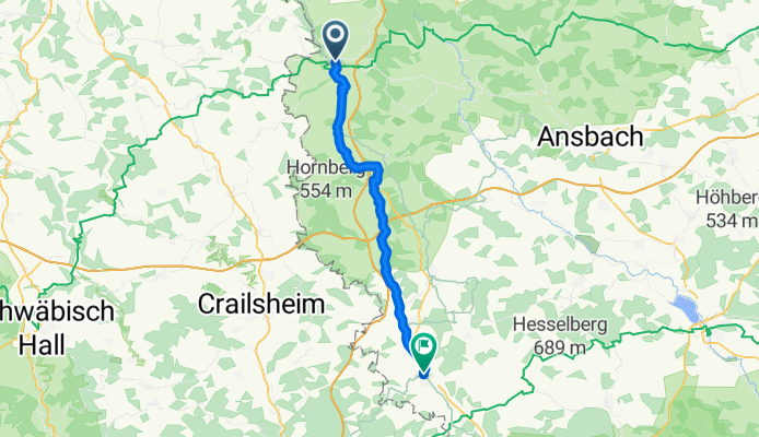
Rothenburg - Dinkelsbühl
Trasa rowerowa w Rothenburg nad Tauber, Bawaria, Niemcy
- 60,8 km
- Dystans
- 480 m
- Przewyższenia
- 373 m
- Spadek
Bezoldweg, Rothenburg ob der Tauber nach Weinmarkt, Dinkelsbühl
Trasa rowerowa w Rothenburg nad Tauber, Bawaria, Niemcy
- 44,4 km
- Dystans
- 253 m
- Przewyższenia
- 244 m
- Spadek

Rothenburg ob der Tauber - Dinkelsbühl
Trasa rowerowa w Rothenburg nad Tauber, Bawaria, Niemcy
- 65 km
- Dystans
- 406 m
- Przewyższenia
- 367 m
- Spadek

Rothenburg ob der Tauber - Dinkelsbühl
Trasa rowerowa w Rothenburg nad Tauber, Bawaria, Niemcy
- 66 km
- Dystans
- 430 m
- Przewyższenia
- 372 m
- Spadek
Frank-Land-2
Trasa rowerowa w Rothenburg nad Tauber, Bawaria, Niemcy
- 45 km
- Dystans
- 344 m
- Przewyższenia
- 321 m
- Spadek
Mühlacker to Ledermarkt
Trasa rowerowa w Rothenburg nad Tauber, Bawaria, Niemcy
- 65,9 km
- Dystans
- 434 m
- Przewyższenia
- 372 m
- Spadek

Frank-Land-2
Trasa rowerowa w Rothenburg nad Tauber, Bawaria, Niemcy
- 45,5 km
- Dystans
- 361 m
- Przewyższenia
- 341 m
- Spadek
Odkryj więcej tras
 3. Route von Rothenburg bis Dinkelsbühl
- Dystans
- 58,5 km
- Przewyższenia
- 356 m
- Spadek
- 335 m
- Lokalizacja
- Rothenburg nad Tauber, Bawaria, Niemcy
 Rothenburg - Dinkelsbühl
- Dystans
- 60,8 km
- Przewyższenia
- 480 m
- Spadek
- 373 m
- Lokalizacja
- Rothenburg nad Tauber, Bawaria, Niemcy
 Bezoldweg, Rothenburg ob der Tauber nach Weinmarkt, Dinkelsbühl
- Dystans
- 44,4 km
- Przewyższenia
- 253 m
- Spadek
- 244 m
- Lokalizacja
- Rothenburg nad Tauber, Bawaria, Niemcy
 Rothenburg ob der Tauber - Dinkelsbühl
- Dystans
- 65 km
- Przewyższenia
- 406 m
- Spadek
- 367 m
- Lokalizacja
- Rothenburg nad Tauber, Bawaria, Niemcy
 Rothenburg ob der Tauber - Dinkelsbühl
- Dystans
- 66 km
- Przewyższenia
- 430 m
- Spadek
- 372 m
- Lokalizacja
- Rothenburg nad Tauber, Bawaria, Niemcy
 Frank-Land-2
- Dystans
- 45 km
- Przewyższenia
- 344 m
- Spadek
- 321 m
- Lokalizacja
- Rothenburg nad Tauber, Bawaria, Niemcy
 Mühlacker to Ledermarkt
- Dystans
- 65,9 km
- Przewyższenia
- 434 m
- Spadek
- 372 m
- Lokalizacja
- Rothenburg nad Tauber, Bawaria, Niemcy
 Frank-Land-2
- Dystans
- 45,5 km
- Przewyższenia
- 361 m
- Spadek
- 341 m
- Lokalizacja
- Rothenburg nad Tauber, Bawaria, Niemcy
Trasy z Rothenburg nad Tauber
Bikepacking od
Z Rothenburg nad Tauber do Kelheim
Bikepacking od
Z Rothenburg nad Tauber do Ratyzbona
Jednodniowa wycieczka rowerowa od
Z Rothenburg nad Tauber do Gunzenhausen
Jednodniowa wycieczka rowerowa od
Z Rothenburg nad Tauber do Wertheim
Trasy do Dinkelsbühl
Jednodniowa wycieczka rowerowa od
Z Crailsheim do Dinkelsbühl