

Szablon trasy
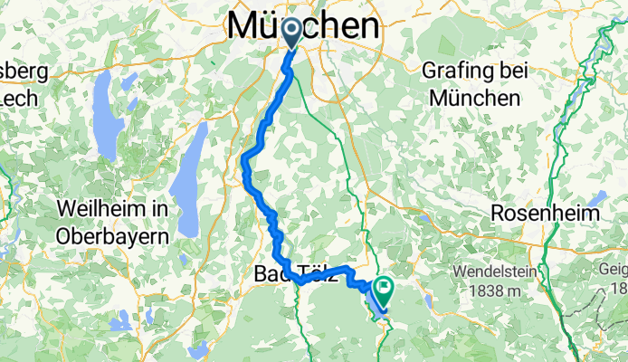
Z Monachium do Tegernsee

- 4 h 6 min
- Czas
- 68,1 km
- Dystans
- 670 m
- Przewyższenia
- 440 m
- Spadek
- 16,6 km/h
- Śr. Prędkość
- 788 m
- Maks. wysokość
Ready for a classic Bavarian bike ride? Start your journey in the heart of Munich, famous for its beautiful architecture, beer gardens, and relaxed cycling vibe. The route to Tegernsee is about 68 km long—a solid half-day adventure, with a moderate ascent of nearly 670 meters, making it a rewarding trip for anyone with a little climbing stamina.
Leaving the city behind, you’ll ride mostly on smooth, paved paths and quiet country roads, weaving through leafy suburbs and picturesque villages. There’s a stretch or two of gentle gravel tracks, but nothing a standard bike can’t handle. You’ll pass through lush farmland and alongside forested hills, with the Alps teasing you on the horizon as you get closer to Tegernsee.
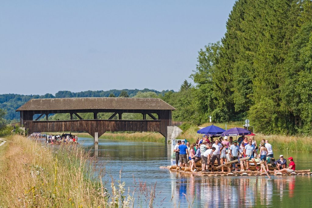
Once you arrive, you’ll be welcomed by a postcard-perfect lakeside town, known for its crystal-clear waters and the famous Tegernseer brewery—a perfect spot to unwind with a cold drink by the lake. Enjoy the view, you’ve earned it!
Wspólnota
Najlepsi użytkownicy w tym regionie


Od naszej społeczności
Najlepsze trasy rowerowe z Monachium do Tegernsee
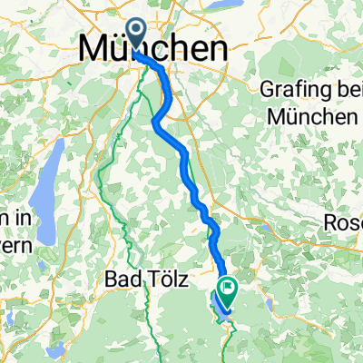
21.6. Munich to Tegernsee
Trasa rowerowa w Monachium, Bawaria, Niemcy
- 77 km
- Dystans
- 883 m
- Przewyższenia
- 660 m
- Spadek

Munich-Bad Tölz-Lenggries-Walchensee-Sylvensteinsee-Tegernsee
Trasa rowerowa w Monachium, Bawaria, Niemcy
- 167,4 km
- Dystans
- 624 m
- Przewyższenia
- 380 m
- Spadek

Maxburgstraße, Munich to Bahnhofstraße, Tegernsee
Trasa rowerowa w Monachium, Bawaria, Niemcy
- 61,8 km
- Dystans
- 602 m
- Przewyższenia
- 368 m
- Spadek

deutsches museum tegernsee
Trasa rowerowa w Monachium, Bawaria, Niemcy
- 66,7 km
- Dystans
- 380 m
- Przewyższenia
- 168 m
- Spadek

Route zu Tegernsee
Trasa rowerowa w Monachium, Bawaria, Niemcy
- 61,8 km
- Dystans
- 531 m
- Przewyższenia
- 304 m
- Spadek

MTB-67k-München-Tegernsee
Trasa rowerowa w Monachium, Bawaria, Niemcy
- 66,9 km
- Dystans
- 659 m
- Przewyższenia
- 433 m
- Spadek

Säbener-Rottach
Trasa rowerowa w Monachium, Bawaria, Niemcy
- 64,2 km
- Dystans
- 848 m
- Przewyższenia
- 635 m
- Spadek

Munich to Tegernsee via Bad Toelz
Trasa rowerowa w Monachium, Bawaria, Niemcy
- 77,5 km
- Dystans
- 462 m
- Przewyższenia
- 258 m
- Spadek

München-Tegernsee
Trasa rowerowa w Monachium, Bawaria, Niemcy
- 64 km
- Dystans
- 316 m
- Przewyższenia
- 104 m
- Spadek


München und die Seenrunde
Trasa rowerowa w Monachium, Bawaria, Niemcy
- 241,1 km
- Dystans
- 0 m
- Przewyższenia
- 0 m
- Spadek

München Tegernsee Via Bavarica Tirolensis
Trasa rowerowa w Monachium, Bawaria, Niemcy
- 81,1 km
- Dystans
- 547 m
- Przewyższenia
- 331 m
- Spadek
Odkryj więcej tras
 Route zu Tegernsee
- Dystans
- 61,8 km
- Przewyższenia
- 531 m
- Spadek
- 304 m
- Lokalizacja
- Monachium, Bawaria, Niemcy
 MTB-67k-München-Tegernsee
- Dystans
- 66,9 km
- Przewyższenia
- 659 m
- Spadek
- 433 m
- Lokalizacja
- Monachium, Bawaria, Niemcy
 Säbener-Rottach
- Dystans
- 64,2 km
- Przewyższenia
- 848 m
- Spadek
- 635 m
- Lokalizacja
- Monachium, Bawaria, Niemcy
 Munich to Tegernsee via Bad Toelz
- Dystans
- 77,5 km
- Przewyższenia
- 462 m
- Spadek
- 258 m
- Lokalizacja
- Monachium, Bawaria, Niemcy
 München-Tegernsee
- Dystans
- 64 km
- Przewyższenia
- 316 m
- Spadek
- 104 m
- Lokalizacja
- Monachium, Bawaria, Niemcy
 JL Tour
- Dystans
- 104,3 km
- Przewyższenia
- 864 m
- Spadek
- 652 m
- Lokalizacja
- Monachium, Bawaria, Niemcy
 München und die Seenrunde
- Dystans
- 241,1 km
- Przewyższenia
- 0 m
- Spadek
- 0 m
- Lokalizacja
- Monachium, Bawaria, Niemcy
 München Tegernsee Via Bavarica Tirolensis
- Dystans
- 81,1 km
- Przewyższenia
- 547 m
- Spadek
- 331 m
- Lokalizacja
- Monachium, Bawaria, Niemcy
Trasy z Monachium
Bikepacking od
Z Monachium do Innsbruck
Bikepacking od
Z Monachium do Salzburg
Jednodniowa wycieczka rowerowa od
Z Monachium do Rosenheim
Jednodniowa wycieczka rowerowa od
Z Monachium do Gröbenzell
Rowerowa od
Z Monachium do Feldkirchen
Rowerowa od
Z Monachium do Gräfelfing