
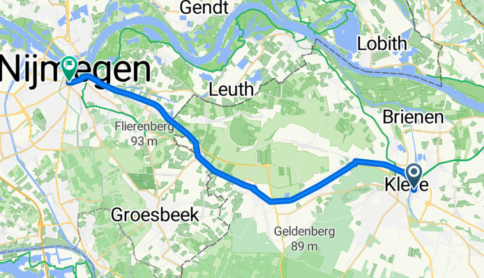
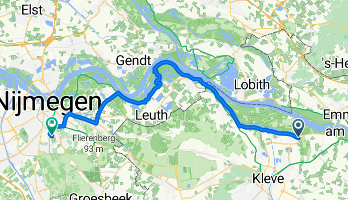
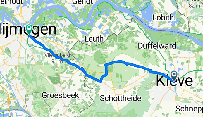
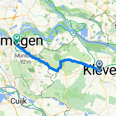
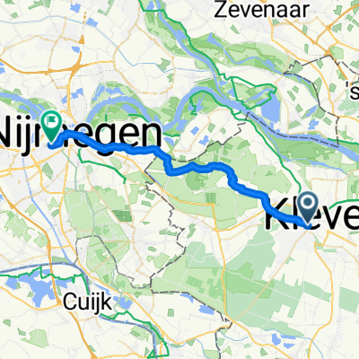
Szablon trasy
Z Kleve do Nijmegen
- 1 h 30 min
- Czas
- 25,8 km
- Dystans
- 166 m
- Przewyższenia
- 166 m
- Spadek
- 17,3 km/h
- Śr. Prędkość
- 97 m
- Maks. wysokość
Roll out from Kleve, a charming Lower Rhine town crowned by the Schwanenburg (Swan Castle) and historic gardens, and head west toward the Netherlands. This cross-border ride is about 26 km and mostly on dedicated cycleways and smooth paths, with a dash of quiet roads. Expect predominantly paved surfaces (asphalt and concrete), with a few stretches of paving stones through villages.
The terrain is friendly: gentle rollers with a couple of short climbs as you approach the moraine east of Nijmegen, adding up to roughly 166 m of ascent and descent—enough for views, not enough to bite. Crossing the border is seamless; wayfinding is straightforward and bike infrastructure stays excellent on both sides.
You’ll finish in Nijmegen, often called the oldest city in the Netherlands, set on the River Waal and known for its Roman roots, lively café scene, and big cycling culture (hello, Four Days Marches). Plan 1.5–2 hours at a relaxed pace, plus time for a coffee at the end.
Wspólnota
Najlepsi użytkownicy w tym regionie


Od naszej społeczności
Najlepsze trasy rowerowe z Kleve do Nijmegen

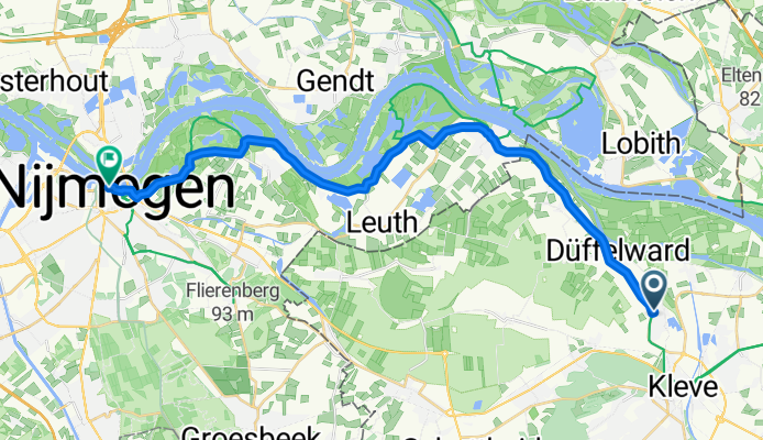
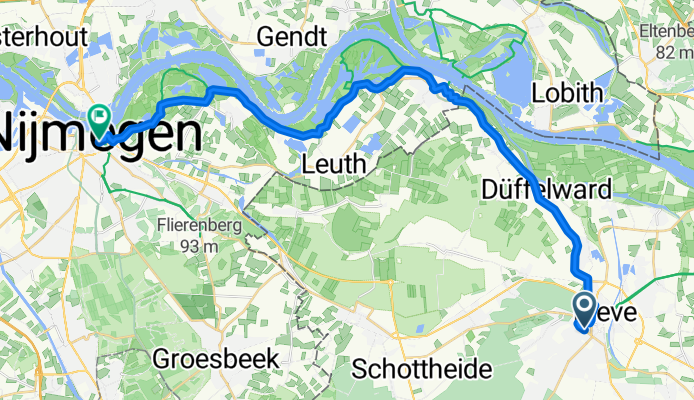
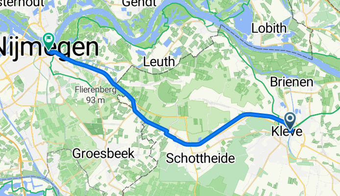
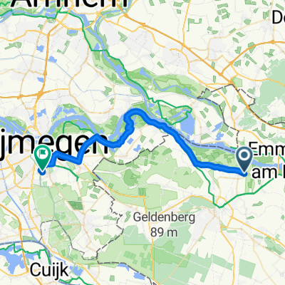
Kleve Altrhein Schenkenschanz Nijmegen
Trasa rowerowa w Kleve, Nadrenia Północna-Westfalia, Niemcy
- 31,9 km
- Dystans
- 26 m
- Przewyższenia
- 29 m
- Spadek
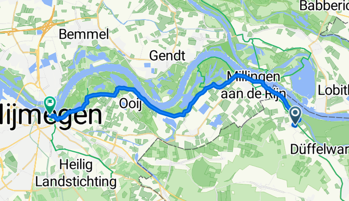
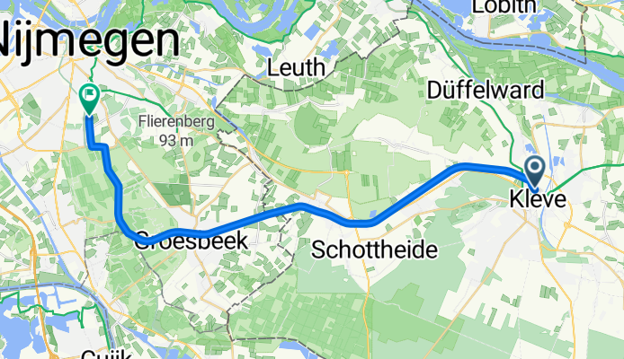
1 Keeken Nijmegen
Trasa rowerowa w Kleve, Nadrenia Północna-Westfalia, Niemcy
- 19,9 km
- Dystans
- 10 m
- Przewyższenia
- 17 m
- Spadek
Hohe Straße nach Lage Markt
Trasa rowerowa w Kleve, Nadrenia Północna-Westfalia, Niemcy
- 24,7 km
- Dystans
- 26 m
- Przewyższenia
- 24 m
- Spadek
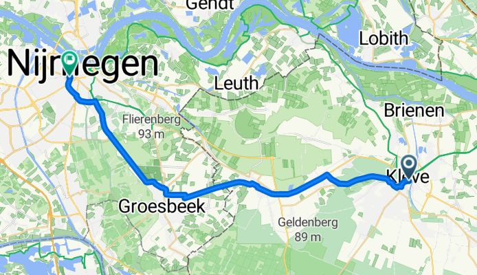
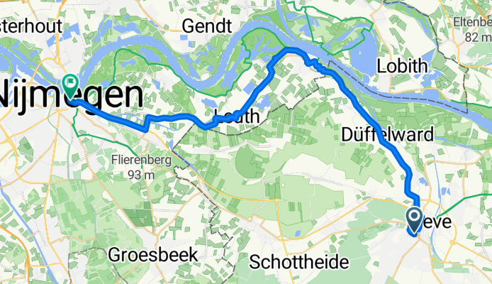
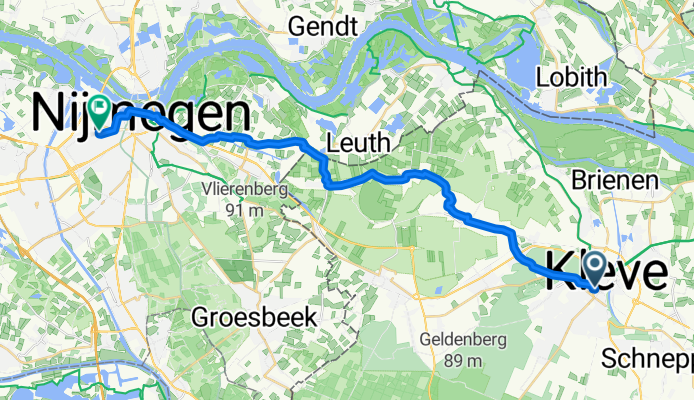
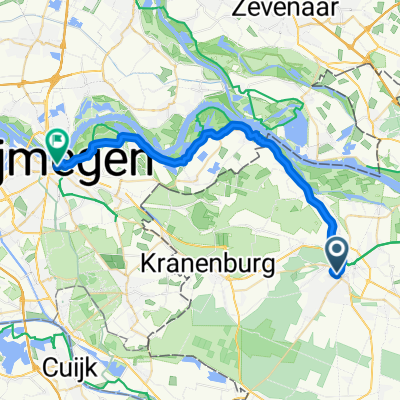
Kleve - Nimwegen
Trasa rowerowa w Kleve, Nadrenia Północna-Westfalia, Niemcy
- 24,3 km
- Dystans
- 114 m
- Przewyższenia
- 96 m
- Spadek
Oraniendeich do Toernooiveld
Trasa rowerowa w Kleve, Nadrenia Północna-Westfalia, Niemcy
- 32,2 km
- Dystans
- 81 m
- Przewyższenia
- 108 m
- Spadek
Lindenallee, Kleve nach Burchtstraat, Nijmegen
Trasa rowerowa w Kleve, Nadrenia Północna-Westfalia, Niemcy
- 29,2 km
- Dystans
- 50 m
- Przewyższenia
- 66 m
- Spadek
Lindenallee, Kleve nach Burchtstraat, Nijmegen
Trasa rowerowa w Kleve, Nadrenia Północna-Westfalia, Niemcy
- 29,8 km
- Dystans
- 63 m
- Przewyższenia
- 77 m
- Spadek
Schulstraße, Kleve nach Burchtstraat, Nijmegen
Trasa rowerowa w Kleve, Nadrenia Północna-Westfalia, Niemcy
- 30,3 km
- Dystans
- 35 m
- Przewyższenia
- 16 m
- Spadek
Von Kleve nach Nijmwegen
Trasa rowerowa w Kleve, Nadrenia Północna-Westfalia, Niemcy
- 23,4 km
- Dystans
- 115 m
- Przewyższenia
- 100 m
- Spadek
Minoritenplatz, Kleve nach Burchtstraat, Nijmegen
Trasa rowerowa w Kleve, Nadrenia Północna-Westfalia, Niemcy
- 23,6 km
- Dystans
- 103 m
- Przewyższenia
- 85 m
- Spadek
Spyckstraße do Toernooiveld
Trasa rowerowa w Kleve, Nadrenia Północna-Westfalia, Niemcy
- 24,3 km
- Dystans
- 85 m
- Przewyższenia
- 67 m
- Spadek
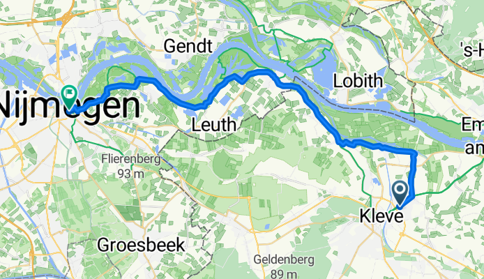
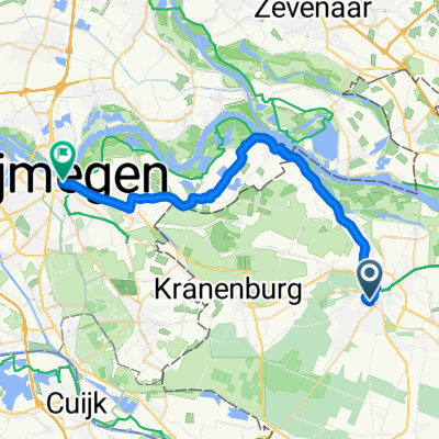
Kleve-Nijmwegen
Trasa rowerowa w Kleve, Nadrenia Północna-Westfalia, Niemcy
- 26,1 km
- Dystans
- 71 m
- Przewyższenia
- 106 m
- Spadek
Odkryj więcej tras
 Oraniendeich do Toernooiveld
- Dystans
- 32,2 km
- Przewyższenia
- 81 m
- Spadek
- 108 m
- Lokalizacja
- Kleve, Nadrenia Północna-Westfalia, Niemcy
 Lindenallee, Kleve nach Burchtstraat, Nijmegen
- Dystans
- 29,2 km
- Przewyższenia
- 50 m
- Spadek
- 66 m
- Lokalizacja
- Kleve, Nadrenia Północna-Westfalia, Niemcy
 Lindenallee, Kleve nach Burchtstraat, Nijmegen
- Dystans
- 29,8 km
- Przewyższenia
- 63 m
- Spadek
- 77 m
- Lokalizacja
- Kleve, Nadrenia Północna-Westfalia, Niemcy
 Schulstraße, Kleve nach Burchtstraat, Nijmegen
- Dystans
- 30,3 km
- Przewyższenia
- 35 m
- Spadek
- 16 m
- Lokalizacja
- Kleve, Nadrenia Północna-Westfalia, Niemcy
 Von Kleve nach Nijmwegen
- Dystans
- 23,4 km
- Przewyższenia
- 115 m
- Spadek
- 100 m
- Lokalizacja
- Kleve, Nadrenia Północna-Westfalia, Niemcy
 Minoritenplatz, Kleve nach Burchtstraat, Nijmegen
- Dystans
- 23,6 km
- Przewyższenia
- 103 m
- Spadek
- 85 m
- Lokalizacja
- Kleve, Nadrenia Północna-Westfalia, Niemcy
 Spyckstraße do Toernooiveld
- Dystans
- 24,3 km
- Przewyższenia
- 85 m
- Spadek
- 67 m
- Lokalizacja
- Kleve, Nadrenia Północna-Westfalia, Niemcy
 Kleve-Nijmwegen
- Dystans
- 26,1 km
- Przewyższenia
- 71 m
- Spadek
- 106 m
- Lokalizacja
- Kleve, Nadrenia Północna-Westfalia, Niemcy
Trasy do Nijmegen
Szybka przejażdżka rowerowa od
Z Lindenholt do Nijmegen