
Szybka przejażdżka rowerowa z Hockenheim do Reilingen
Dostosuj własną trasę na podstawie naszego szablonu lub zobacz, jak nasza społeczność najchętniej jeździ z Hockenheim do Reilingen.
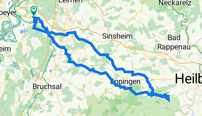
Szablon trasy
Z Hockenheim do Reilingen

- 14 min
- Czas
- 4,2 km
- Dystans
- 0 m
- Przewyższenia
- 3 m
- Spadek
- 17,4 km/h
- Śr. Prędkość
- 106 m
- Maks. wysokość
This short and easy cycling route takes you from Hockenheim to the neighboring village of Reilingen—perfect for a relaxed outing or a quick ride. Starting in Hockenheim, famous for its Formula 1 racing circuit, you'll head south over mostly paved and asphalt surfaces for about 4 kilometers.
The ride is flat and gentle, with virtually no ascent or descent, making it welcoming for cyclists of all skill levels. The way takes you along quiet roads and wide paths, passing through some peaceful countryside vibes common in this part of Baden-Württemberg. About two-thirds of your ride is nicely paved, with some brief patchy or stony spots, but nothing too challenging.
Once you arrive in Reilingen, you’ll find a charming small town that boasts a relaxed rural atmosphere—the perfect spot to grab a coffee before heading back or continuing your journey elsewhere. All in all, this is a laid-back local route ideal for enjoying the fresh air and easy riding!
Wspólnota
Najlepsi użytkownicy w tym regionie


Od naszej społeczności
Najlepsze trasy rowerowe z Hockenheim do Reilingen
WaldschenkeHörnle
Trasa rowerowa w Hockenheim, Badenia-Wirtembergia, Niemcy
- 120,9 km
- Dystans
- 1166 m
- Przewyższenia
- 1168 m
- Spadek

Rheinhausen Rundfahrt
Trasa rowerowa w Hockenheim, Badenia-Wirtembergia, Niemcy
- 27,7 km
- Dystans
- 24 m
- Przewyższenia
- 24 m
- Spadek

Wiesloch Balzfeld Mühlhausen
Trasa rowerowa w Hockenheim, Badenia-Wirtembergia, Niemcy
- 54,4 km
- Dystans
- 175 m
- Przewyższenia
- 179 m
- Spadek

RotenbergEichelbergZeutern
Trasa rowerowa w Hockenheim, Badenia-Wirtembergia, Niemcy
- 68,9 km
- Dystans
- 235 m
- Przewyższenia
- 236 m
- Spadek

MörlenbachLorsch
Trasa rowerowa w Hockenheim, Badenia-Wirtembergia, Niemcy
- 125,9 km
- Dystans
- 604 m
- Przewyższenia
- 604 m
- Spadek

Viernheim69
Trasa rowerowa w Hockenheim, Badenia-Wirtembergia, Niemcy
- 69,5 km
- Dystans
- 52 m
- Przewyższenia
- 53 m
- Spadek

MenzingenKraichbach75km
Trasa rowerowa w Hockenheim, Badenia-Wirtembergia, Niemcy
- 75,2 km
- Dystans
- 259 m
- Przewyższenia
- 259 m
- Spadek

UmOberhausenAltlußheim
Trasa rowerowa w Hockenheim, Badenia-Wirtembergia, Niemcy
- 33,3 km
- Dystans
- 33 m
- Przewyższenia
- 33 m
- Spadek

LorschWorms
Trasa rowerowa w Hockenheim, Badenia-Wirtembergia, Niemcy
- 112,1 km
- Dystans
- 57 m
- Przewyższenia
- 61 m
- Spadek

LorschBuga
Trasa rowerowa w Hockenheim, Badenia-Wirtembergia, Niemcy
- 101,6 km
- Dystans
- 48 m
- Przewyższenia
- 47 m
- Spadek

BaiertalSchwanheimEberbachHD102km
Trasa rowerowa w Hockenheim, Badenia-Wirtembergia, Niemcy
- 105,3 km
- Dystans
- 533 m
- Przewyższenia
- 531 m
- Spadek

KA Bretten
Trasa rowerowa w Hockenheim, Badenia-Wirtembergia, Niemcy
- 112,2 km
- Dystans
- 217 m
- Przewyższenia
- 215 m
- Spadek
Odkryj więcej tras
 MörlenbachLorsch
- Dystans
- 125,9 km
- Przewyższenia
- 604 m
- Spadek
- 604 m
- Lokalizacja
- Hockenheim, Badenia-Wirtembergia, Niemcy
 Viernheim69
- Dystans
- 69,5 km
- Przewyższenia
- 52 m
- Spadek
- 53 m
- Lokalizacja
- Hockenheim, Badenia-Wirtembergia, Niemcy
 MenzingenKraichbach75km
- Dystans
- 75,2 km
- Przewyższenia
- 259 m
- Spadek
- 259 m
- Lokalizacja
- Hockenheim, Badenia-Wirtembergia, Niemcy
 UmOberhausenAltlußheim
- Dystans
- 33,3 km
- Przewyższenia
- 33 m
- Spadek
- 33 m
- Lokalizacja
- Hockenheim, Badenia-Wirtembergia, Niemcy
 LorschWorms
- Dystans
- 112,1 km
- Przewyższenia
- 57 m
- Spadek
- 61 m
- Lokalizacja
- Hockenheim, Badenia-Wirtembergia, Niemcy
 LorschBuga
- Dystans
- 101,6 km
- Przewyższenia
- 48 m
- Spadek
- 47 m
- Lokalizacja
- Hockenheim, Badenia-Wirtembergia, Niemcy
 BaiertalSchwanheimEberbachHD102km
- Dystans
- 105,3 km
- Przewyższenia
- 533 m
- Spadek
- 531 m
- Lokalizacja
- Hockenheim, Badenia-Wirtembergia, Niemcy
 KA Bretten
- Dystans
- 112,2 km
- Przewyższenia
- 217 m
- Spadek
- 215 m
- Lokalizacja
- Hockenheim, Badenia-Wirtembergia, Niemcy