
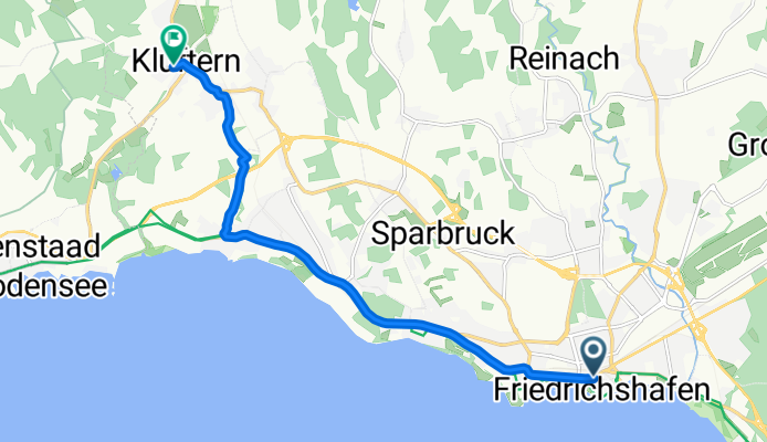
Szybka przejażdżka rowerowa z Friedrichshafen do Markdorf
Dostosuj własną trasę na podstawie naszego szablonu lub zobacz, jak nasza społeczność najchętniej jeździ z Friedrichshafen do Markdorf.
Szablon trasy
Z Friedrichshafen do Markdorf

- 51 min
- Czas
- 15,2 km
- Dystans
- 88 m
- Przewyższenia
- 57 m
- Spadek
- 17,8 km/h
- Śr. Prędkość
- 439 m
- Maks. wysokość
Start your ride in Friedrichshafen, the bustling lakeside city on the shore of Lake Constance, known for its Zeppelin history and lovely waterfront promenade. From here, you’ll pedal northwest towards Markdorf, a charming town surrounded by orchards and vineyards.
The route is a relaxed 15 km, winding mostly on smooth paved paths and quiet roads—perfect for a leisurely spin without much traffic. There’s a gentle climb of about 88 meters, but nothing too strenuous, so you’ll have plenty of energy to enjoy the views of rolling hills and distant mountains. Most of your ride is on dedicated paths, with a short stretch on gravel.
As you reach Markdorf, take a moment to stroll its historic old town, featuring the striking St. Nikolaus Church and the remnants of medieval town walls. It’s a lovely contrast to Friedrichshafen’s modern, lakeside vibe.
This is an ideal route if you love scenic countryside, charming small towns, and smooth cycling surfaces. Perfect for a sunny day!
Wspólnota
Najlepsi użytkownicy w tym regionie

Od naszej społeczności
Najlepsze trasy rowerowe z Friedrichshafen do Markdorf

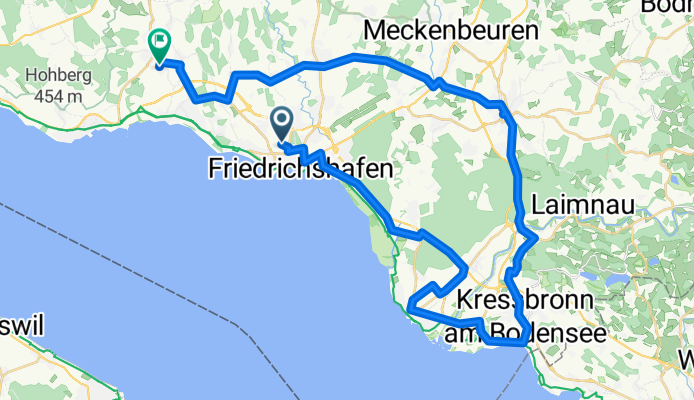
Manzell - Gehrenberg
Trasa rowerowa w Friedrichshafen, Badenia-Wirtembergia, Niemcy
- 8,1 km
- Dystans
- 104 m
- Przewyższenia
- 73 m
- Spadek
Wolfweg 2 - FN-LA-TT-Ailingen-Kluftern
Trasa rowerowa w Friedrichshafen, Badenia-Wirtembergia, Niemcy
- 48,1 km
- Dystans
- 230 m
- Przewyższenia
- 207 m
- Spadek

Rh1b Friedrichshafen to Lipbach only (Germany)
Trasa rowerowa w Friedrichshafen, Badenia-Wirtembergia, Niemcy
- 12,9 km
- Dystans
- 68 m
- Przewyższenia
- 45 m
- Spadek

Gehrenberg_Paradies
Trasa rowerowa w Friedrichshafen, Badenia-Wirtembergia, Niemcy
- 12,9 km
- Dystans
- 150 m
- Przewyższenia
- 52 m
- Spadek

Mecka-Rosenharz-RV-Eschach-Bavendorf-MD
Trasa rowerowa w Friedrichshafen, Badenia-Wirtembergia, Niemcy
- 67,4 km
- Dystans
- 589 m
- Przewyższenia
- 548 m
- Spadek

Oskar_3_2
Trasa rowerowa w Friedrichshafen, Badenia-Wirtembergia, Niemcy
- 11,9 km
- Dystans
- 123 m
- Przewyższenia
- 34 m
- Spadek

Tettnang Hinterland
Trasa rowerowa w Friedrichshafen, Badenia-Wirtembergia, Niemcy
- 72,7 km
- Dystans
- 427 m
- Przewyższenia
- 394 m
- Spadek

Mecka-Neukirch-Bodnegg-Eschach-Taldorf-OT
Trasa rowerowa w Friedrichshafen, Badenia-Wirtembergia, Niemcy
- 70,2 km
- Dystans
- 517 m
- Przewyższenia
- 471 m
- Spadek

Fred to Lipbach
Trasa rowerowa w Friedrichshafen, Badenia-Wirtembergia, Niemcy
- 12,1 km
- Dystans
- 93 m
- Przewyższenia
- 65 m
- Spadek

2014-03-12
Trasa rowerowa w Friedrichshafen, Badenia-Wirtembergia, Niemcy
- 55,7 km
- Dystans
- 565 m
- Przewyższenia
- 521 m
- Spadek
Friedrichstraße, Friedrichshafen - Hubenring, Friedrichshafen
Trasa rowerowa w Friedrichshafen, Badenia-Wirtembergia, Niemcy
- 9,6 km
- Dystans
- 51 m
- Przewyższenia
- 36 m
- Spadek

FH, FW
Trasa rowerowa w Friedrichshafen, Badenia-Wirtembergia, Niemcy
- 69,8 km
- Dystans
- 665 m
- Przewyższenia
- 624 m
- Spadek
Odkryj więcej tras
 Mecka-Rosenharz-RV-Eschach-Bavendorf-MD
- Dystans
- 67,4 km
- Przewyższenia
- 589 m
- Spadek
- 548 m
- Lokalizacja
- Friedrichshafen, Badenia-Wirtembergia, Niemcy
 Oskar_3_2
- Dystans
- 11,9 km
- Przewyższenia
- 123 m
- Spadek
- 34 m
- Lokalizacja
- Friedrichshafen, Badenia-Wirtembergia, Niemcy
 Tettnang Hinterland
- Dystans
- 72,7 km
- Przewyższenia
- 427 m
- Spadek
- 394 m
- Lokalizacja
- Friedrichshafen, Badenia-Wirtembergia, Niemcy
 Mecka-Neukirch-Bodnegg-Eschach-Taldorf-OT
- Dystans
- 70,2 km
- Przewyższenia
- 517 m
- Spadek
- 471 m
- Lokalizacja
- Friedrichshafen, Badenia-Wirtembergia, Niemcy
 Fred to Lipbach
- Dystans
- 12,1 km
- Przewyższenia
- 93 m
- Spadek
- 65 m
- Lokalizacja
- Friedrichshafen, Badenia-Wirtembergia, Niemcy
 2014-03-12
- Dystans
- 55,7 km
- Przewyższenia
- 565 m
- Spadek
- 521 m
- Lokalizacja
- Friedrichshafen, Badenia-Wirtembergia, Niemcy
 Friedrichstraße, Friedrichshafen - Hubenring, Friedrichshafen
- Dystans
- 9,6 km
- Przewyższenia
- 51 m
- Spadek
- 36 m
- Lokalizacja
- Friedrichshafen, Badenia-Wirtembergia, Niemcy
 FH, FW
- Dystans
- 69,8 km
- Przewyższenia
- 665 m
- Spadek
- 624 m
- Lokalizacja
- Friedrichshafen, Badenia-Wirtembergia, Niemcy
Trasy z Friedrichshafen
Jednodniowa wycieczka rowerowa od
Z Friedrichshafen do Kreuzlingen
Jednodniowa wycieczka rowerowa od
Z Friedrichshafen do Lindau
Szybka przejażdżka rowerowa od
Z Friedrichshafen do Immenstaad am Bodensee
Szybka przejażdżka rowerowa od
Z Friedrichshafen do Meersburg
Trasy do Markdorf
Szybka przejażdżka rowerowa od
Z Immenstaad am Bodensee do Markdorf