


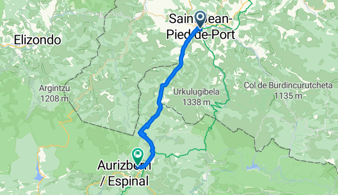

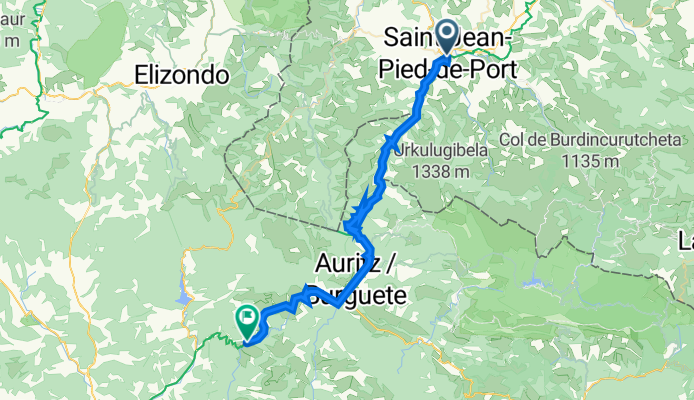


El Camino de Santiago
- 31,5 km
- 2223 m
- 1520 m
- Saint-Jean-Pied-de-Port, Nouvelle-Aquitaine, Francja

Dostosuj własną trasę na podstawie naszego szablonu lub zobacz, jak nasza społeczność najchętniej jeździ z Saint-Jean-Pied-de-Port do Garralda.
Szablon trasy

Get ready for an epic ride from Saint-Jean-Pied-de-Port to Garralda! You’re starting in the heart of the French Basque Country, a charming little town known as the gateway to the Camino de Santiago. With its cobbled streets and mountain views, take a moment to soak in the atmosphere—because the real adventure starts as soon as you roll out.
This route is no joke: you’ll climb and descend over 3,900 meters, criss-crossing the Pyrenean passes at max elevations above 1,000 meters. Most of your ride will be on blissfully quiet roads, but be prepared for some stretches of gravel and unpaved tracks (so wider tires are a good idea). For about 73 km, you’ll weave through wild, rolling landscapes dotted with sheep, forests, and wide-open views.
Garralda, your destination, is a sleepy Navarrese mountain village—perfect for a post-ride pintxo and a deep breath of mountain air. This is a tough and beautiful route, ideal for riders who love a challenge and don’t mind mingling a little adventure with their climbs.
Wspólnota
Od naszej społeczności
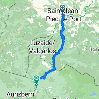
Trasa rowerowa w Saint-Jean-Pied-de-Port, Nouvelle-Aquitaine, Francja
Trasa rowerowa w Saint-Jean-Pied-de-Port, Nouvelle-Aquitaine, Francja
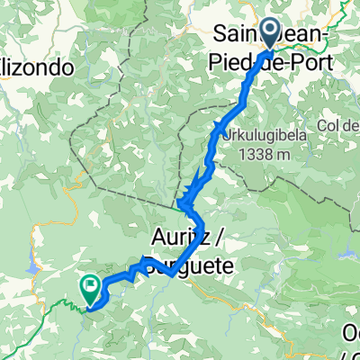
Trasa rowerowa w Saint-Jean-Pied-de-Port, Nouvelle-Aquitaine, Francja
Trasa rowerowa w Saint-Jean-Pied-de-Port, Nouvelle-Aquitaine, Francja
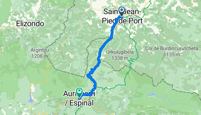
Trasa rowerowa w Saint-Jean-Pied-de-Port, Nouvelle-Aquitaine, Francja
Trasa rowerowa w Saint-Jean-Pied-de-Port, Nouvelle-Aquitaine, Francja
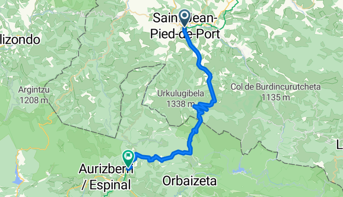
Trasa rowerowa w Saint-Jean-Pied-de-Port, Nouvelle-Aquitaine, Francja
Trasa rowerowa w Saint-Jean-Pied-de-Port, Nouvelle-Aquitaine, Francja
Trasa rowerowa w Saint-Jean-Pied-de-Port, Nouvelle-Aquitaine, Francja
Trasa rowerowa w Saint-Jean-Pied-de-Port, Nouvelle-Aquitaine, Francja
Trasa rowerowa w Saint-Jean-Pied-de-Port, Nouvelle-Aquitaine, Francja
Trasa rowerowa w Saint-Jean-Pied-de-Port, Nouvelle-Aquitaine, Francja
Jednodniowa wycieczka rowerowa od
Jednodniowa wycieczka rowerowa od