
Jednodniowa wycieczka rowerowa z Lyon do Sainte-Colombe
Dostosuj własną trasę na podstawie naszego szablonu lub zobacz, jak nasza społeczność najchętniej jeździ z Lyon do Sainte-Colombe.
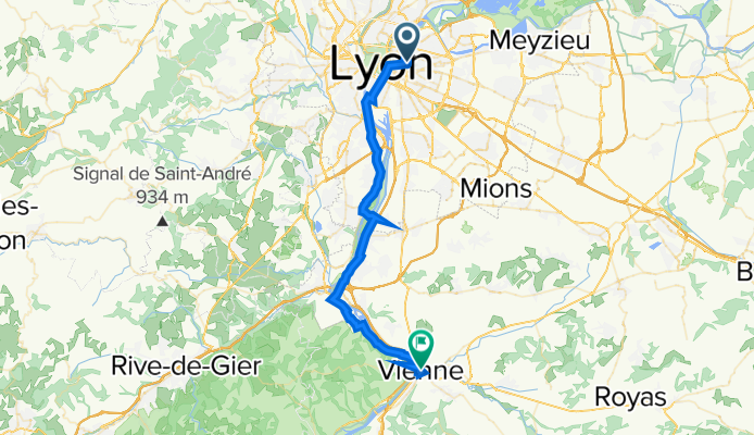
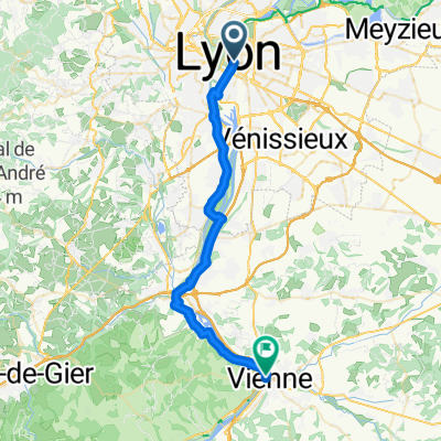
Szablon trasy
Z Lyon do Sainte-Colombe
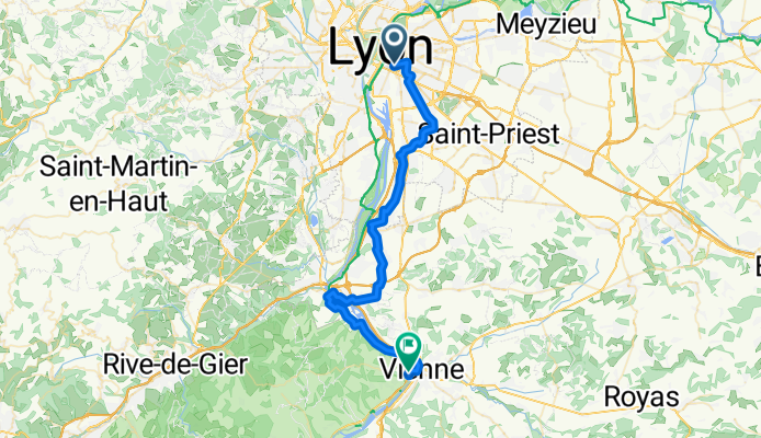
- 2 h 33 min
- Czas
- 43,4 km
- Dystans
- 550 m
- Przewyższenia
- 535 m
- Spadek
- 17 km/h
- Śr. Prędkość
- 290 m
- Maks. wysokość
Here’s a fantastic ride from Lyon to Sainte-Colombe, perfect if you enjoy a mix of cityscapes and countryside! Starting in the lively heart of Lyon—famous for its historic old town, rich gastronomy, and scenic rivers—you’ll pedal south towards the pretty village of Sainte-Colombe, nestled on the west bank of the Rhône.
The 43 km route is mostly on quiet roads and dedicated cycleways (so you can relax and soak in the views), with just enough gentle hills (about 550m total ascent) to get the legs working, but nothing too intimidating. Expect a blend of smooth asphalt and classic French paved sections, with stretches offering beautiful riverside vistas and glimpses of ancient Roman heritage as you approach your destination.
Sainte-Colombe itself sits opposite the Roman city of Vienne and is known for its archaeological sites and peaceful small-town charm. This route is a great way to enjoy a slice of French history—with plenty of café stops along the way if you fancy a pastry or two!
Wspólnota
Najlepsi użytkownicy w tym regionie


Od naszej społeczności
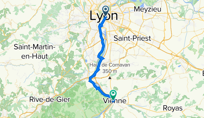
Najlepsze trasy rowerowe z Lyon do Sainte-Colombe

VR11 Lyon-Vienne.kml - VR11 Lyon-Vienne.kml_VR11 Lyon-Vienne
Trasa rowerowa w Lyon, Owernia-Rodan-Alpy, Francja
- 36,6 km
- Dystans
- 239 m
- Przewyższenia
- 244 m
- Spadek

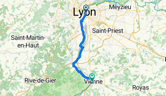
ViaRhôna de Lyon à Saint-Romain-en-Gal
Trasa rowerowa w Lyon, Owernia-Rodan-Alpy, Francja
- 35,8 km
- Dystans
- 71 m
- Przewyższenia
- 84 m
- Spadek

1. Teil
Trasa rowerowa w Lyon, Owernia-Rodan-Alpy, Francja
- 39,1 km
- Dystans
- 138 m
- Przewyższenia
- 159 m
- Spadek

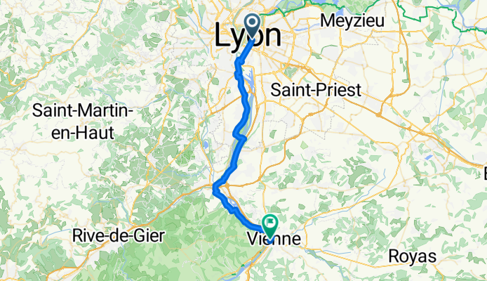
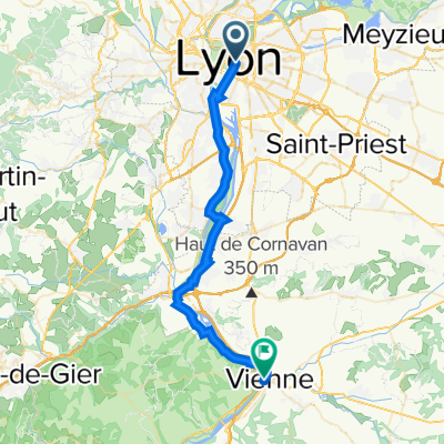
10: ViaRhôna de Lyon à Saint-Romain-en-Gal / Vienne
Trasa rowerowa w Lyon, Owernia-Rodan-Alpy, Francja
- 35,5 km
- Dystans
- 150 m
- Przewyższenia
- 165 m
- Spadek
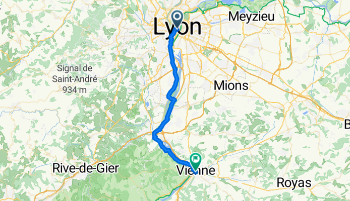
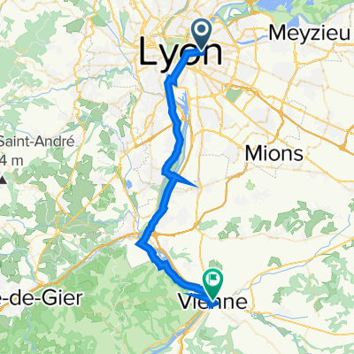
Lyon to Vienne
Trasa rowerowa w Lyon, Owernia-Rodan-Alpy, Francja
- 36,5 km
- Dystans
- 95 m
- Przewyższenia
- 97 m
- Spadek

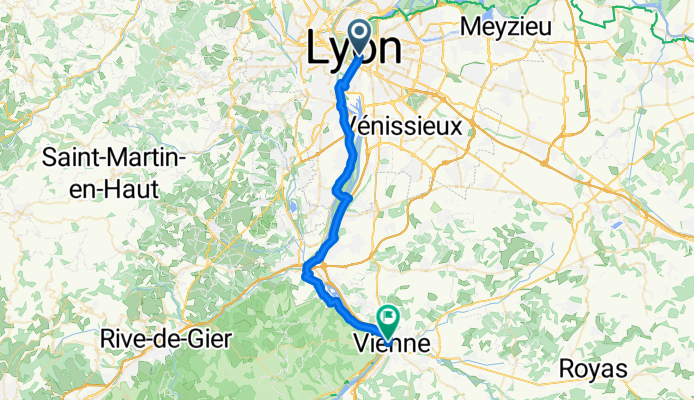
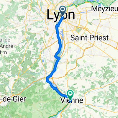
10: ViaRhôna de Lyon à Saint-Romain-en-Gal / Vienne
Trasa rowerowa w Lyon, Owernia-Rodan-Alpy, Francja
- 35,9 km
- Dystans
- 136 m
- Przewyższenia
- 151 m
- Spadek
10: ViaRhôna de Lyon à Saint-Romain-en-Gal / Vienne
Trasa rowerowa w Lyon, Owernia-Rodan-Alpy, Francja
- 36,1 km
- Dystans
- 168 m
- Przewyższenia
- 177 m
- Spadek
De Gabiodiv' à Place Aristide Briand 2-32
Trasa rowerowa w Lyon, Owernia-Rodan-Alpy, Francja
- 39,9 km
- Dystans
- 244 m
- Przewyższenia
- 252 m
- Spadek
Avenue Georges Pompidou, Lyon to Place François Mitterrand, Vienne
Trasa rowerowa w Lyon, Owernia-Rodan-Alpy, Francja
- 37,4 km
- Dystans
- 231 m
- Przewyższenia
- 235 m
- Spadek

Avenue Leclerc, Lyon nach 427–609 Quai d'Herbouville, Sainte-Colombe
Trasa rowerowa w Lyon, Owernia-Rodan-Alpy, Francja
- 35,8 km
- Dystans
- 183 m
- Przewyższenia
- 192 m
- Spadek
10: ViaRhôna de Lyon à Saint-Romain-en-Gal / Vienne
Trasa rowerowa w Lyon, Owernia-Rodan-Alpy, Francja
- 35,9 km
- Dystans
- 0 m
- Przewyższenia
- 0 m
- Spadek
10- Lyon > St Romain en Gal (Vienne)
Trasa rowerowa w Lyon, Owernia-Rodan-Alpy, Francja
- 35,6 km
- Dystans
- 112 m
- Przewyższenia
- 115 m
- Spadek
Odkryj więcej tras
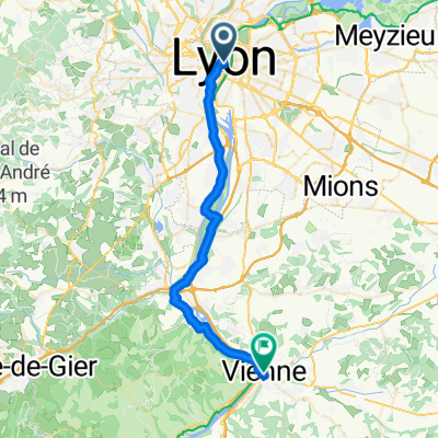 Lyon to Vienne
- Dystans
- 36,5 km
- Przewyższenia
- 95 m
- Spadek
- 97 m
- Lokalizacja
- Lyon, Owernia-Rodan-Alpy, Francja
 10: ViaRhôna de Lyon à Saint-Romain-en-Gal / Vienne
- Dystans
- 35,9 km
- Przewyższenia
- 136 m
- Spadek
- 151 m
- Lokalizacja
- Lyon, Owernia-Rodan-Alpy, Francja
 10: ViaRhôna de Lyon à Saint-Romain-en-Gal / Vienne
- Dystans
- 36,1 km
- Przewyższenia
- 168 m
- Spadek
- 177 m
- Lokalizacja
- Lyon, Owernia-Rodan-Alpy, Francja
 De Gabiodiv' à Place Aristide Briand 2-32
- Dystans
- 39,9 km
- Przewyższenia
- 244 m
- Spadek
- 252 m
- Lokalizacja
- Lyon, Owernia-Rodan-Alpy, Francja
 Avenue Georges Pompidou, Lyon to Place François Mitterrand, Vienne
- Dystans
- 37,4 km
- Przewyższenia
- 231 m
- Spadek
- 235 m
- Lokalizacja
- Lyon, Owernia-Rodan-Alpy, Francja
 Avenue Leclerc, Lyon nach 427–609 Quai d'Herbouville, Sainte-Colombe
- Dystans
- 35,8 km
- Przewyższenia
- 183 m
- Spadek
- 192 m
- Lokalizacja
- Lyon, Owernia-Rodan-Alpy, Francja
 10: ViaRhôna de Lyon à Saint-Romain-en-Gal / Vienne
- Dystans
- 35,9 km
- Przewyższenia
- 0 m
- Spadek
- 0 m
- Lokalizacja
- Lyon, Owernia-Rodan-Alpy, Francja
 10- Lyon > St Romain en Gal (Vienne)
- Dystans
- 35,6 km
- Przewyższenia
- 112 m
- Spadek
- 115 m
- Lokalizacja
- Lyon, Owernia-Rodan-Alpy, Francja
Trasy z Lyon
Bikepacking od
Z Lyon do Awinion
Bikepacking od
Z Lyon do Genewa
Jednodniowa wycieczka rowerowa od
Z Lyon do Saint-Bonnet-de-Mure
Jednodniowa wycieczka rowerowa od
Z Lyon do Valence
Szybka przejażdżka rowerowa od
Z Lyon do Caluire-et-Cuire
Szybka przejażdżka rowerowa od
Z Lyon do Villeurbanne