
Szablon trasy
Z Åndalsnes do Valldal

- 6 h 27 min
- Czas
- 55,4 km
- Dystans
- 1879 m
- Przewyższenia
- 1883 m
- Spadek
- 8,6 km/h
- Śr. Prędkość
- 976 m
- Maks. wysokość
Ready for a true Norwegian adventure? Pedal from Åndalsnes, the picturesque “Alpine town by the fjord,” all the way to the fruit haven of Valldal. This 55 km route is not just about the distance—get set to climb nearly 1,900 meters! You’ll snake past dramatic peaks, deep valleys, and there’s a good chance you’ll be working those legs up some seriously scenic mountain passes.
Expect a bit of everything under your tires—most of the surfaces aren’t fully described, but you’ll hit some good stretches of asphalt, paved sections, and even a few access roads and forest paths. It’s a quiet ride overall, with just a few busier roads thrown in, so keep your wits about you and enjoy the silence when you have it.
Åndalsnes is famous as the gateway to the legendary Trollstigen road, so you know you’re starting somewhere epic. At the finish, celebrate your efforts in Valldal, known for its sweet strawberries and breathtaking fjord views. Bring snacks, water, and plenty of layers—this is Norwegian nature at its finest!
Wspólnota
Najlepsi użytkownicy w tym regionie

Od naszej społeczności
Najlepsze trasy rowerowe z Åndalsnes do Valldal

Trollstigen
Trasa rowerowa w Åndalsnes, Møre og Romsdal fylke, Norwegia
- 52,4 km
- Dystans
- 970 m
- Przewyższenia
- 972 m
- Spadek

Andalsnes-Bøstølen
Trasa rowerowa w Åndalsnes, Møre og Romsdal fylke, Norwegia
- 22,2 km
- Dystans
- 856 m
- Przewyższenia
- 390 m
- Spadek

Åndalsnes - Valldal
Trasa rowerowa w Åndalsnes, Møre og Romsdal fylke, Norwegia
- 52,6 km
- Dystans
- 932 m
- Przewyższenia
- 940 m
- Spadek

Trollí cesta
Trasa rowerowa w Åndalsnes, Møre og Romsdal fylke, Norwegia
- 51,5 km
- Dystans
- 934 m
- Przewyższenia
- 932 m
- Spadek

Åndalsnes-Linge
Trasa rowerowa w Åndalsnes, Møre og Romsdal fylke, Norwegia
- 66,2 km
- Dystans
- 2171 m
- Przewyższenia
- 2169 m
- Spadek
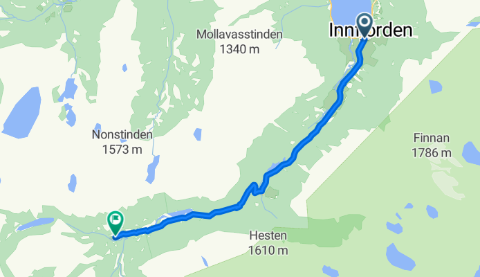
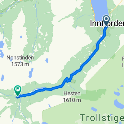
Route nach Innfjorden
Trasa rowerowa w Åndalsnes, Møre og Romsdal fylke, Norwegia
- 13,8 km
- Dystans
- 484 m
- Przewyższenia
- 55 m
- Spadek

RNK 27
Trasa rowerowa w Åndalsnes, Møre og Romsdal fylke, Norwegia
- 55,1 km
- Dystans
- 957 m
- Przewyższenia
- 907 m
- Spadek

Trollstigen
Trasa rowerowa w Åndalsnes, Møre og Romsdal fylke, Norwegia
- 53,3 km
- Dystans
- 1013 m
- Przewyższenia
- 1020 m
- Spadek

Trollstigen
Trasa rowerowa w Åndalsnes, Møre og Romsdal fylke, Norwegia
- 52,8 km
- Dystans
- 967 m
- Przewyższenia
- 965 m
- Spadek

Abfahrt
Trasa rowerowa w Åndalsnes, Møre og Romsdal fylke, Norwegia
- 32,5 km
- Dystans
- 56 m
- Przewyższenia
- 922 m
- Spadek

andalsnes to gudbradsjuvet
Trasa rowerowa w Åndalsnes, Møre og Romsdal fylke, Norwegia
- 39 km
- Dystans
- 985 m
- Przewyższenia
- 788 m
- Spadek

Trollstigen - Valldal
Trasa rowerowa w Åndalsnes, Møre og Romsdal fylke, Norwegia
- 43,3 km
- Dystans
- 885 m
- Przewyższenia
- 930 m
- Spadek
Odkryj więcej tras
 Åndalsnes-Linge
- Dystans
- 66,2 km
- Przewyższenia
- 2171 m
- Spadek
- 2169 m
- Lokalizacja
- Åndalsnes, Møre og Romsdal fylke, Norwegia
 Route nach Innfjorden
- Dystans
- 13,8 km
- Przewyższenia
- 484 m
- Spadek
- 55 m
- Lokalizacja
- Åndalsnes, Møre og Romsdal fylke, Norwegia
 RNK 27
- Dystans
- 55,1 km
- Przewyższenia
- 957 m
- Spadek
- 907 m
- Lokalizacja
- Åndalsnes, Møre og Romsdal fylke, Norwegia
 Trollstigen
- Dystans
- 53,3 km
- Przewyższenia
- 1013 m
- Spadek
- 1020 m
- Lokalizacja
- Åndalsnes, Møre og Romsdal fylke, Norwegia
 Trollstigen
- Dystans
- 52,8 km
- Przewyższenia
- 967 m
- Spadek
- 965 m
- Lokalizacja
- Åndalsnes, Møre og Romsdal fylke, Norwegia
 Abfahrt
- Dystans
- 32,5 km
- Przewyższenia
- 56 m
- Spadek
- 922 m
- Lokalizacja
- Åndalsnes, Møre og Romsdal fylke, Norwegia
 andalsnes to gudbradsjuvet
- Dystans
- 39 km
- Przewyższenia
- 985 m
- Spadek
- 788 m
- Lokalizacja
- Åndalsnes, Møre og Romsdal fylke, Norwegia
 Trollstigen - Valldal
- Dystans
- 43,3 km
- Przewyższenia
- 885 m
- Spadek
- 930 m
- Lokalizacja
- Åndalsnes, Møre og Romsdal fylke, Norwegia