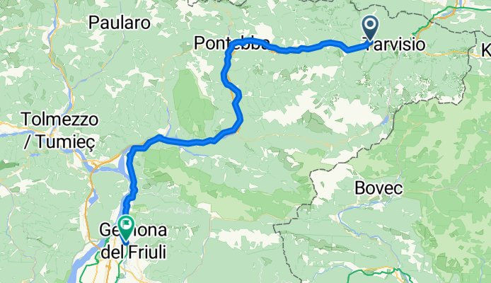

Szablon trasy
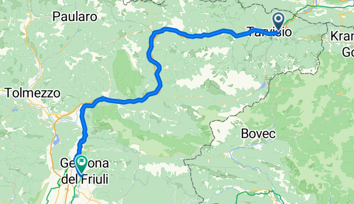
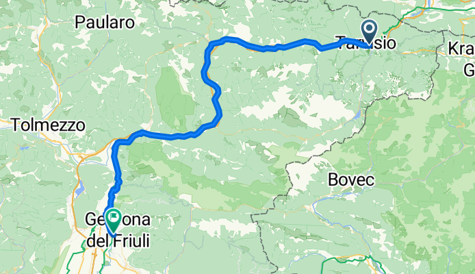
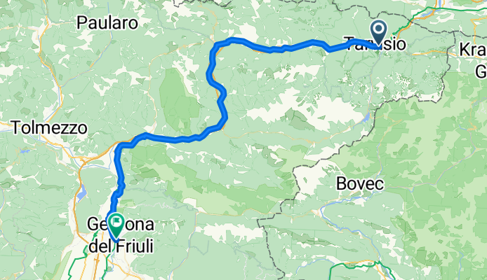
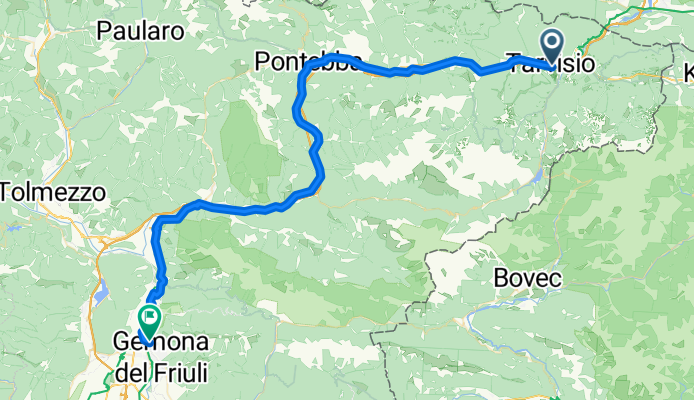
Z Tarvisio do Gemona
Get ready for a ride packed with epic scenery! Starting in Tarvisio, a charming alpine town tucked right at the Italy–Austria–Slovenia border, you’ll cruise mostly along dreamy cycleways (over 60%!) surrounded by lush forests and dramatic mountain backdrops. The ride’s about 67 km and for much of it you’ll be gliding downhill—over 1,400 meters of descent—so you can really enjoy the views without too much leg burn.
There are some decent climbs (nearly 900 meters of ascent in total), especially closer to Tarvisio where you’ll reach the route’s high point just above 840 meters, but nothing too crazy for reasonably fit riders. Most of the track is smooth asphalt with just a few stretches missing pavement, so puncture-proof tires are a smart move.
Gemona is your finish line, a pretty Friulian town at the foot of the Julian Alps, famous for its robust cathedral and picturesque old center. If you have time, wander through its quiet streets and soak up the mountain vibes—or reward yourself with a well-earned gelato!
Wspólnota
Najlepsi użytkownicy w tym regionie
Od naszej społeczności
Najlepsze trasy rowerowe z Tarvisio do Gemona
tag 1: Tarvis bis Grado
Trasa rowerowa w Tarvisio, Friuli Venezia Giulia, Włochy
- 67,8 km
- Dystans
- 944 m
- Przewyższenia
- 1480 m
- Spadek
Tarvis - Gemona
Trasa rowerowa w Tarvisio, Friuli Venezia Giulia, Włochy
- 67,7 km
- Dystans
- 131 m
- Przewyższenia
- 693 m
- Spadek
Alpe Adria 1
Trasa rowerowa w Tarvisio, Friuli Venezia Giulia, Włochy
- 85,9 km
- Dystans
- 143 m
- Przewyższenia
- 877 m
- Spadek
Tarvisio - Gemona
Trasa rowerowa w Tarvisio, Friuli Venezia Giulia, Włochy
- 66,1 km
- Dystans
- 918 m
- Przewyższenia
- 1454 m
- Spadek
2022-05-28 Tarvisio - Gemona del Friuli
Trasa rowerowa w Tarvisio, Friuli Venezia Giulia, Włochy
- 65,5 km
- Dystans
- 776 m
- Przewyższenia
- 1340 m
- Spadek
Tarvisio - Gemona
Trasa rowerowa w Tarvisio, Friuli Venezia Giulia, Włochy
- 66,1 km
- Dystans
- 916 m
- Przewyższenia
- 1454 m
- Spadek
Tarvisio-Gemona Ai Pioppi 64 km Bledtol Tarvisioig transzfer
Trasa rowerowa w Tarvisio, Friuli Venezia Giulia, Włochy
- 64 km
- Dystans
- 911 m
- Przewyższenia
- 1455 m
- Spadek
Trbiz-G
Trasa rowerowa w Tarvisio, Friuli Venezia Giulia, Włochy
- 70,1 km
- Dystans
- 1091 m
- Przewyższenia
- 1652 m
- Spadek
Tervisio- Gemona
Trasa rowerowa w Tarvisio, Friuli Venezia Giulia, Włochy
- 62,9 km
- Dystans
- 96 m
- Przewyższenia
- 707 m
- Spadek
Tag 1 Tarvisio - Gemona
Trasa rowerowa w Tarvisio, Friuli Venezia Giulia, Włochy
- 76,5 km
- Dystans
- 194 m
- Przewyższenia
- 673 m
- Spadek
Tarvis_Gemona
Trasa rowerowa w Tarvisio, Friuli Venezia Giulia, Włochy
- 67 km
- Dystans
- 132 m
- Przewyższenia
- 649 m
- Spadek
Tarvisio - Gemona
Trasa rowerowa w Tarvisio, Friuli Venezia Giulia, Włochy
- 67,5 km
- Dystans
- 139 m
- Przewyższenia
- 616 m
- Spadek
Odkryj więcej tras
 2022-05-28 Tarvisio - Gemona del Friuli
- Dystans
- 65,5 km
- Przewyższenia
- 776 m
- Spadek
- 1340 m
- Lokalizacja
- Tarvisio, Friuli Venezia Giulia, Włochy
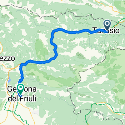 Tarvisio - Gemona
- Dystans
- 66,1 km
- Przewyższenia
- 916 m
- Spadek
- 1454 m
- Lokalizacja
- Tarvisio, Friuli Venezia Giulia, Włochy
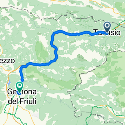 Tarvisio-Gemona Ai Pioppi 64 km Bledtol Tarvisioig transzfer
- Dystans
- 64 km
- Przewyższenia
- 911 m
- Spadek
- 1455 m
- Lokalizacja
- Tarvisio, Friuli Venezia Giulia, Włochy
 Trbiz-G
- Dystans
- 70,1 km
- Przewyższenia
- 1091 m
- Spadek
- 1652 m
- Lokalizacja
- Tarvisio, Friuli Venezia Giulia, Włochy
 Tervisio- Gemona
- Dystans
- 62,9 km
- Przewyższenia
- 96 m
- Spadek
- 707 m
- Lokalizacja
- Tarvisio, Friuli Venezia Giulia, Włochy
 Tag 1 Tarvisio - Gemona
- Dystans
- 76,5 km
- Przewyższenia
- 194 m
- Spadek
- 673 m
- Lokalizacja
- Tarvisio, Friuli Venezia Giulia, Włochy
 Tarvis_Gemona
- Dystans
- 67 km
- Przewyższenia
- 132 m
- Spadek
- 649 m
- Lokalizacja
- Tarvisio, Friuli Venezia Giulia, Włochy
 Tarvisio - Gemona
- Dystans
- 67,5 km
- Przewyższenia
- 139 m
- Spadek
- 616 m
- Lokalizacja
- Tarvisio, Friuli Venezia Giulia, Włochy
Trasy z Tarvisio
Bikepacking od
Z Tarvisio do Grado
Bikepacking od
Z Tarvisio do Triest
Jednodniowa wycieczka rowerowa od
Z Tarvisio do Chiusaforte
Jednodniowa wycieczka rowerowa od
Z Tarvisio do Udine
Rowerowa od
Z Tarvisio do Malborghetto Valbruna
Trasy do Gemona
Jednodniowa wycieczka rowerowa od
Z Villach do Gemona


