
Szybka przejażdżka rowerowa z Peschiera del Garda do San Martino della Battaglia
Dostosuj własną trasę na podstawie naszego szablonu lub zobacz, jak nasza społeczność najchętniej jeździ z Peschiera del Garda do San Martino della Battaglia.
Szablon trasy
Z Peschiera del Garda do San Martino della Battaglia
This relaxed ride takes you from the charming lakeside town of Peschiera del Garda to the historic San Martino della Battaglia, covering around 16.7 km. Starting in Peschiera, you’ll pedal away from Lake Garda’s southern shore, where colorful houses and old Venetian walls set a holiday mood. The route is super friendly for cyclists, with most of the way on smooth cycleways and quiet roads—basically, you’re avoiding traffic stress.
It’s a flat and easy-going route (just 51 meters of ascent), letting you enjoy some classic Lombardy scenery: vineyards, open countryside, and little rural villages along the way. Once you arrive in San Martino della Battaglia, history fans will spot the impressive tower marking the site of the pivotal 1859 battle during the Italian wars of independence—if you’re up for a view, you can climb to the top!
Whether you’re after a leisurely morning ride or looking for a bit of culture with your cycling, this route has you covered. Don’t forget to reward yourself with a local glass of Lugana wine at the finish!
Wspólnota
Najlepsi użytkownicy w tym regionie
Od naszej społeczności
Najlepsze trasy rowerowe z Peschiera del Garda do San Martino della Battaglia
Signe Hoffmann rute 2 bonusvej.
Trasa rowerowa w Peschiera del Garda, Wenecja Euganejska, Włochy
- 4,5 km
- Dystans
- 8 m
- Przewyższenia
- 15 m
- Spadek
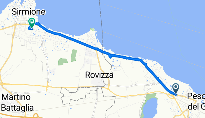
Da Via Campo Sportivo 20, Peschiera del Garda a Via N. Dal Pra 15, Rovizza
Trasa rowerowa w Peschiera del Garda, Wenecja Euganejska, Włochy
- 61,8 km
- Dystans
- 1336 m
- Przewyższenia
- 1336 m
- Spadek
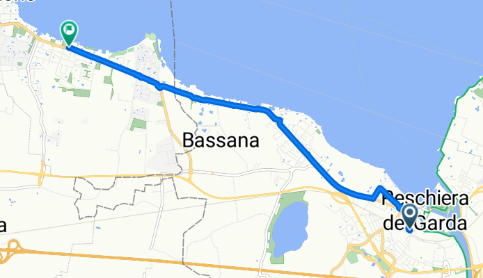
Via Bell’Italia 15–19, Peschiera del Garda to Piazza Virgilio 51, Sirmione
Trasa rowerowa w Peschiera del Garda, Wenecja Euganejska, Włochy
- 6,7 km
- Dystans
- 10 m
- Przewyższenia
- 20 m
- Spadek
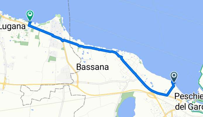
Via Secolo naar Via Verona
Trasa rowerowa w Peschiera del Garda, Wenecja Euganejska, Włochy
- 7,3 km
- Dystans
- 8 m
- Przewyższenia
- 69 m
- Spadek
Via Arrigo Boito 2B, Peschiera del Garda to Piazza Virgilio 51, Sirmione
Trasa rowerowa w Peschiera del Garda, Wenecja Euganejska, Włochy
- 6,9 km
- Dystans
- 17 m
- Przewyższenia
- 25 m
- Spadek
Peschiera del Garda to Piazza Virgilio 51, Sirmione
Trasa rowerowa w Peschiera del Garda, Wenecja Euganejska, Włochy
- 6,4 km
- Dystans
- 16 m
- Przewyższenia
- 18 m
- Spadek
Relaxed Morning Route In Peschiera Del Garda
Trasa rowerowa w Peschiera del Garda, Wenecja Euganejska, Włochy
- 5,7 km
- Dystans
- 29 m
- Przewyższenia
- 37 m
- Spadek
Via Lungolago Mazzini, Peschiera del Garda do Sirmione
Trasa rowerowa w Peschiera del Garda, Wenecja Euganejska, Włochy
- 6 km
- Dystans
- 46 m
- Przewyższenia
- 43 m
- Spadek
Via Benaco 14–18, Peschiera del Garda to Piazza Virgilio 51, Sirmione
Trasa rowerowa w Peschiera del Garda, Wenecja Euganejska, Włochy
- 8,7 km
- Dystans
- 31 m
- Przewyższenia
- 25 m
- Spadek
Peschiera del Garda to Via Molise 1, Sirmione
Trasa rowerowa w Peschiera del Garda, Wenecja Euganejska, Włochy
- 6,4 km
- Dystans
- 19 m
- Przewyższenia
- 17 m
- Spadek
Peschiera del Garda (Stazione FS) nach Via Tassere 19, Desenzano del Garda
Trasa rowerowa w Peschiera del Garda, Wenecja Euganejska, Włochy
- 61,4 km
- Dystans
- 580 m
- Przewyższenia
- 589 m
- Spadek
Route nach Via Molise 1, Sirmione
Trasa rowerowa w Peschiera del Garda, Wenecja Euganejska, Włochy
- 10,1 km
- Dystans
- 33 m
- Przewyższenia
- 19 m
- Spadek
Odkryj więcej tras
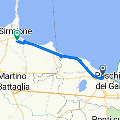 Via Arrigo Boito 2B, Peschiera del Garda to Piazza Virgilio 51, Sirmione
- Dystans
- 6,9 km
- Przewyższenia
- 17 m
- Spadek
- 25 m
- Lokalizacja
- Peschiera del Garda, Wenecja Euganejska, Włochy
 Peschiera del Garda to Piazza Virgilio 51, Sirmione
- Dystans
- 6,4 km
- Przewyższenia
- 16 m
- Spadek
- 18 m
- Lokalizacja
- Peschiera del Garda, Wenecja Euganejska, Włochy
 Relaxed Morning Route In Peschiera Del Garda
- Dystans
- 5,7 km
- Przewyższenia
- 29 m
- Spadek
- 37 m
- Lokalizacja
- Peschiera del Garda, Wenecja Euganejska, Włochy
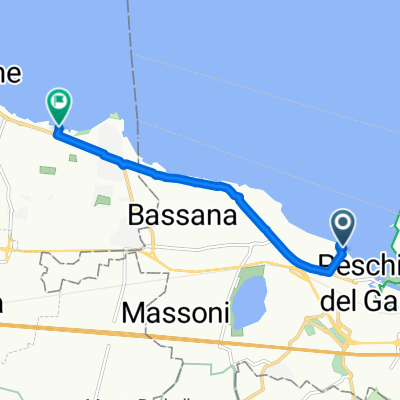 Via Lungolago Mazzini, Peschiera del Garda do Sirmione
- Dystans
- 6 km
- Przewyższenia
- 46 m
- Spadek
- 43 m
- Lokalizacja
- Peschiera del Garda, Wenecja Euganejska, Włochy
 Via Benaco 14–18, Peschiera del Garda to Piazza Virgilio 51, Sirmione
- Dystans
- 8,7 km
- Przewyższenia
- 31 m
- Spadek
- 25 m
- Lokalizacja
- Peschiera del Garda, Wenecja Euganejska, Włochy
 Peschiera del Garda to Via Molise 1, Sirmione
- Dystans
- 6,4 km
- Przewyższenia
- 19 m
- Spadek
- 17 m
- Lokalizacja
- Peschiera del Garda, Wenecja Euganejska, Włochy
 Peschiera del Garda (Stazione FS) nach Via Tassere 19, Desenzano del Garda
- Dystans
- 61,4 km
- Przewyższenia
- 580 m
- Spadek
- 589 m
- Lokalizacja
- Peschiera del Garda, Wenecja Euganejska, Włochy
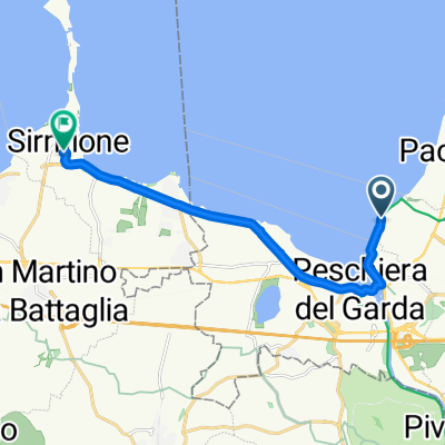 Route nach Via Molise 1, Sirmione
- Dystans
- 10,1 km
- Przewyższenia
- 33 m
- Spadek
- 19 m
- Lokalizacja
- Peschiera del Garda, Wenecja Euganejska, Włochy
Trasy z Peschiera del Garda
Jednodniowa wycieczka rowerowa od
Z Peschiera del Garda do Sirmione
Jednodniowa wycieczka rowerowa od
Z Peschiera del Garda do Werona
Szybka przejażdżka rowerowa od
Z Peschiera del Garda do Valeggio sul Mincio
Szybka przejażdżka rowerowa od
Z Peschiera del Garda do Lazise


