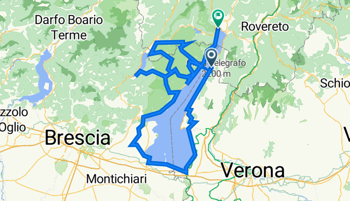
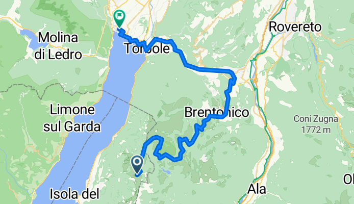
Jednodniowa wycieczka rowerowa z Malcesine do Riva del Garda
Dostosuj własną trasę na podstawie naszego szablonu lub zobacz, jak nasza społeczność najchętniej jeździ z Malcesine do Riva del Garda.
Szablon trasy
Z Malcesine do Riva del Garda

- 7 h 16 min
- Czas
- 110,1 km
- Dystans
- 1829 m
- Przewyższenia
- 1841 m
- Spadek
- 15,1 km/h
- Śr. Prędkość
- 729 m
- Maks. wysokość
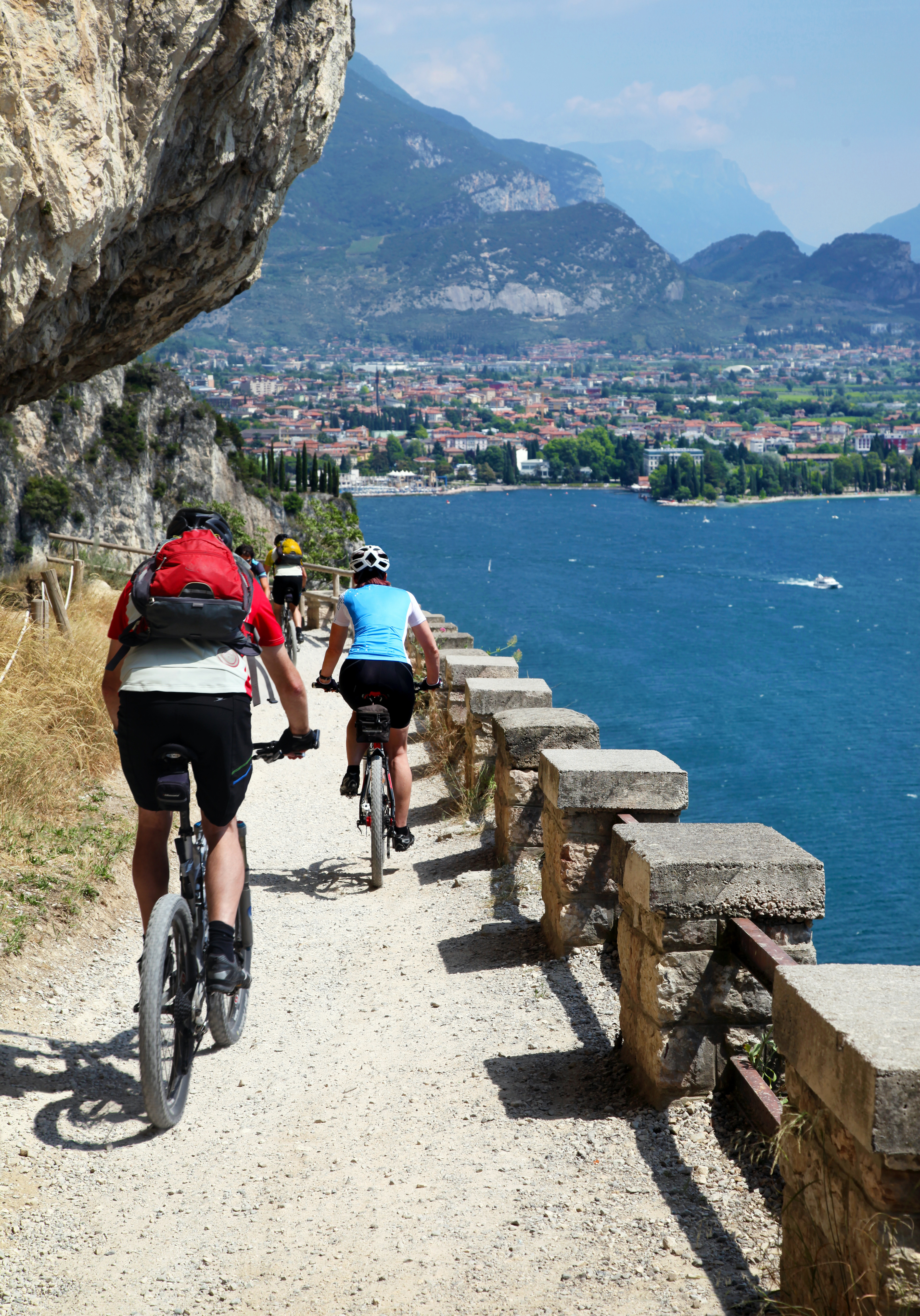
This scenic cycling route takes you from the charming lakeside town of Malcesine, nestled at the foot of Monte Baldo along Lake Garda’s eastern shore, all the way north to the vibrant hub of Riva del Garda. Malcesine is famous for its medieval castle and picturesque old town—perfect for a quick espresso before you set off.
The ride itself is no walk in the park, covering a solid 110 km with just over 1800 meters of climbing, so bring your climbing legs! Most of the journey is on smooth, paved cycleways and quiet roads, winding through olive groves, lake views, and pretty mountain backdrops. Keep an eye out for short sections of unpaved or missing paths—nothing a bit of adventurous spirit can’t handle.
Your reward? Riva del Garda’s lively piazzas and waterfront, perfect for a well-earned gelato or a dip in the lake. The vibe switches from medieval tranquility to a bustling outdoor sports paradise. All in all, a big day out on the bike, packed with epic views and Italian charm.
Wspólnota
Najlepsi użytkownicy w tym regionie
Od naszej społeczności
Najlepsze trasy rowerowe z Malcesine do Riva del Garda
Felvonótól legurulni a hegyen Riva del gardaig.
Trasa rowerowa w Malcesine, Wenecja Euganejska, Włochy
- 40,7 km
- Dystans
- 639 m
- Przewyższenia
- 2306 m
- Spadek
Monte Baldo-Graziani-sent.-San Giacomo-sent.-Brentonico-Castione-Sano-Loppio-Riva
Trasa rowerowa w Malcesine, Wenecja Euganejska, Włochy
- 37,1 km
- Dystans
- 340 m
- Przewyższenia
- 2020 m
- Spadek
Monte Baldo - Riva
Trasa rowerowa w Malcesine, Wenecja Euganejska, Włochy
- 36,9 km
- Dystans
- 298 m
- Przewyższenia
- 1986 m
- Spadek
Jaka se pele [Monte Baldo - Riva del garda]
Trasa rowerowa w Malcesine, Wenecja Euganejska, Włochy
- 40,4 km
- Dystans
- 458 m
- Przewyższenia
- 2197 m
- Spadek
Via Panoramica 113b, Malcesine nach Viale dei Tigli 21, Riva del Garda
Trasa rowerowa w Malcesine, Wenecja Euganejska, Włochy
- 20,6 km
- Dystans
- 206 m
- Przewyższenia
- 489 m
- Spadek
Abfaht vom Altissimo. Gondel ab Malcesine
Trasa rowerowa w Malcesine, Wenecja Euganejska, Włochy
- 37,3 km
- Dystans
- 415 m
- Przewyższenia
- 2074 m
- Spadek
Malcesine Mount Baldo Aerial tramway - Mount Baldo terminal nach Piazza III Novembre 2, Riva del Garda
Trasa rowerowa w Malcesine, Wenecja Euganejska, Włochy
- 93,5 km
- Dystans
- 1444 m
- Przewyższenia
- 3108 m
- Spadek
Monte Baldo-Brentonico-Castione-Riva del Garda
Trasa rowerowa w Malcesine, Wenecja Euganejska, Włochy
- 41,7 km
- Dystans
- 467 m
- Przewyższenia
- 2138 m
- Spadek
Via Navene Vecchia 12, Malcesine to Via Restel de Fer 15B, Riva del Garda
Trasa rowerowa w Malcesine, Wenecja Euganejska, Włochy
- 18,3 km
- Dystans
- 556 m
- Przewyższenia
- 580 m
- Spadek
Malcesine Mount Baldo Aerial tramway - Mount Baldo terminal nach Piazza III Novembre 2, Riva del Garda
Trasa rowerowa w Malcesine, Wenecja Euganejska, Włochy
- 92,6 km
- Dystans
- 1503 m
- Przewyższenia
- 3167 m
- Spadek
Von Monte Baldo nach Riva del Garda 1
Trasa rowerowa w Malcesine, Wenecja Euganejska, Włochy
- 31,6 km
- Dystans
- 636 m
- Przewyższenia
- 2319 m
- Spadek
Via Gardesana 258, Malcesine nach Piazza III Novembre 2, Riva del Garda
Trasa rowerowa w Malcesine, Wenecja Euganejska, Włochy
- 290,6 km
- Dystans
- 12 842 m
- Przewyższenia
- 12 855 m
- Spadek
Odkryj więcej tras
 Via Panoramica 113b, Malcesine nach Viale dei Tigli 21, Riva del Garda
- Dystans
- 20,6 km
- Przewyższenia
- 206 m
- Spadek
- 489 m
- Lokalizacja
- Malcesine, Wenecja Euganejska, Włochy
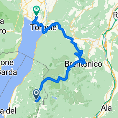 Abfaht vom Altissimo. Gondel ab Malcesine
- Dystans
- 37,3 km
- Przewyższenia
- 415 m
- Spadek
- 2074 m
- Lokalizacja
- Malcesine, Wenecja Euganejska, Włochy
 Malcesine Mount Baldo Aerial tramway - Mount Baldo terminal nach Piazza III Novembre 2, Riva del Garda
- Dystans
- 93,5 km
- Przewyższenia
- 1444 m
- Spadek
- 3108 m
- Lokalizacja
- Malcesine, Wenecja Euganejska, Włochy
 Monte Baldo-Brentonico-Castione-Riva del Garda
- Dystans
- 41,7 km
- Przewyższenia
- 467 m
- Spadek
- 2138 m
- Lokalizacja
- Malcesine, Wenecja Euganejska, Włochy
 Via Navene Vecchia 12, Malcesine to Via Restel de Fer 15B, Riva del Garda
- Dystans
- 18,3 km
- Przewyższenia
- 556 m
- Spadek
- 580 m
- Lokalizacja
- Malcesine, Wenecja Euganejska, Włochy
 Malcesine Mount Baldo Aerial tramway - Mount Baldo terminal nach Piazza III Novembre 2, Riva del Garda
- Dystans
- 92,6 km
- Przewyższenia
- 1503 m
- Spadek
- 3167 m
- Lokalizacja
- Malcesine, Wenecja Euganejska, Włochy
 Von Monte Baldo nach Riva del Garda 1
- Dystans
- 31,6 km
- Przewyższenia
- 636 m
- Spadek
- 2319 m
- Lokalizacja
- Malcesine, Wenecja Euganejska, Włochy
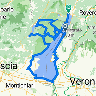 Via Gardesana 258, Malcesine nach Piazza III Novembre 2, Riva del Garda
- Dystans
- 290,6 km
- Przewyższenia
- 12 842 m
- Spadek
- 12 855 m
- Lokalizacja
- Malcesine, Wenecja Euganejska, Włochy
Trasy z Malcesine
Jednodniowa wycieczka rowerowa od
Z Malcesine do Torbole sul Garda
Rowerowa od
Z Malcesine do Limone sul Garda
Trasy do Riva del Garda
Jednodniowa wycieczka rowerowa od
Z Carisolo do Riva del Garda
Jednodniowa wycieczka rowerowa od
Z Molina di Ledro do Riva del Garda
Rowerowa od
Z Torbole sul Garda do Riva del Garda
Rowerowa od
Z Limone sul Garda do Riva del Garda




![Jaka se pele [Monte Baldo - Riva del garda]](https://media.bikemap.net/routes/15326691/staticmaps/in_f2eb6898-8485-4fa3-bbe3-b5b250748595_694x400_bikemap-2021-3D-static.png)


