
Bikepacking z Curon Venosta do Trydent
Dostosuj własną trasę na podstawie naszego szablonu lub zobacz, jak nasza społeczność najchętniej jeździ z Curon Venosta do Trydent.
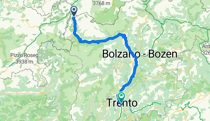
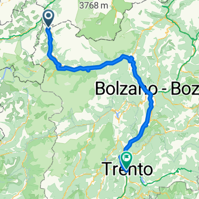
Szablon trasy
Z Curon Venosta do Trydent
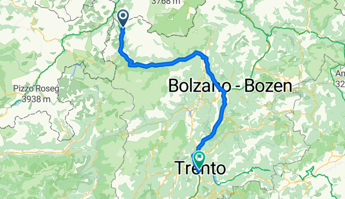
- 9 h 22 min
- Czas
- 167,2 km
- Dystans
- 717 m
- Przewyższenia
- 2042 m
- Spadek
- 17,8 km/h
- Śr. Prędkość
- 1533 m
- Maks. wysokość
This long ride takes you from the picturesque village of Graun im Vinschgau, famous for its haunting bell tower rising from the Reschensee lake, all the way down to the lively Italian city of Trento. The route stretches for about 167 km, with a pleasant net descent of over 1,300 meters—so you're cruising downhill much of the way!
You'll follow well-maintained cycleways for most of the trip, passing through the lush Vinschgau valley, past orchards, ancient castles, and charming villages. Expect mainly smooth asphalt under your tires, with just a few short stretches of gravel for that little extra sense of adventure. The scenery shifts beautifully as you move from the high alpine Reschen Pass area down toward the milder climate of Trentino.
Finish in Trento, a city known for its Renaissance architecture and vibrant café culture—perfect for a celebratory gelato or espresso after a day in the saddle! Whether you're in it for the landscapes or the history, this ride won't disappoint.
Wspólnota
Najlepsi użytkownicy w tym regionie


Od naszej społeczności
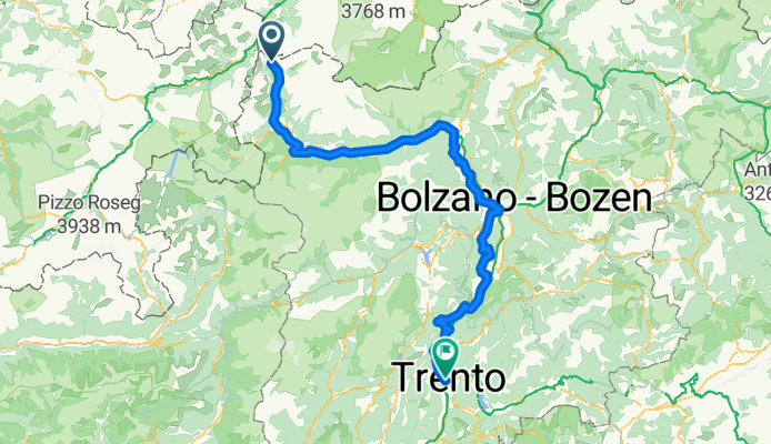
Najlepsze trasy rowerowe z Curon Venosta do Trydent

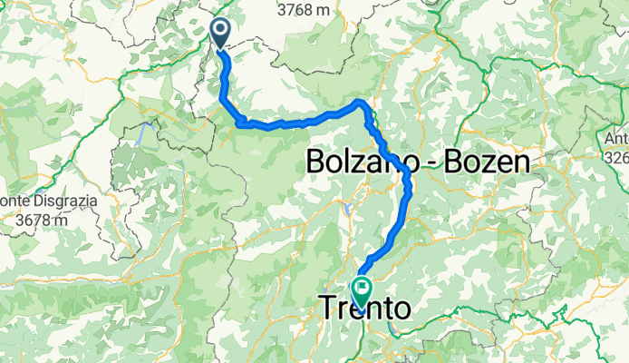
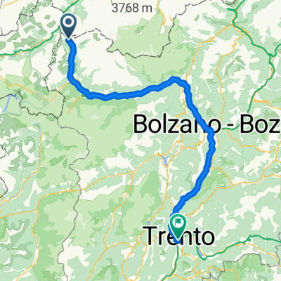
Etschtal-Radweg Reschen-Trient (Via Claudia Aug)
Trasa rowerowa w Curon Venosta, Południowy Tyrol, Włochy
- 181,7 km
- Dystans
- 0 m
- Przewyższenia
- 0 m
- Spadek
vca_3
Trasa rowerowa w Curon Venosta, Południowy Tyrol, Włochy
- 174 km
- Dystans
- 104 m
- Przewyższenia
- 1435 m
- Spadek

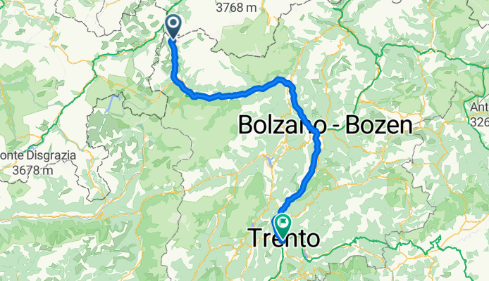
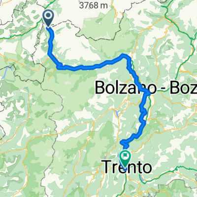
Via Claudia Agusta - 03 Etap - Resia-Trento
Trasa rowerowa w Curon Venosta, Południowy Tyrol, Włochy
- 192 km
- Dystans
- 376 m
- Przewyższenia
- 1707 m
- Spadek

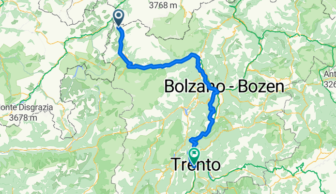
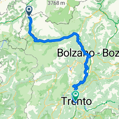
Via Claudia Augusta Reschen-Trento
Trasa rowerowa w Curon Venosta, Południowy Tyrol, Włochy
- 190,9 km
- Dystans
- 338 m
- Przewyższenia
- 1660 m
- Spadek
Resia 2 Trento
Trasa rowerowa w Curon Venosta, Południowy Tyrol, Włochy
- 165,9 km
- Dystans
- 36 m
- Przewyższenia
- 1359 m
- Spadek
vca_3
Trasa rowerowa w Curon Venosta, Południowy Tyrol, Włochy
- 190,1 km
- Dystans
- 334 m
- Przewyższenia
- 1665 m
- Spadek

leg 2 final
Trasa rowerowa w Curon Venosta, Południowy Tyrol, Włochy
- 196,3 km
- Dystans
- 1074 m
- Przewyższenia
- 2384 m
- Spadek
leg2 rev2
Trasa rowerowa w Curon Venosta, Południowy Tyrol, Włochy
- 184,7 km
- Dystans
- 1037 m
- Przewyższenia
- 2362 m
- Spadek

reschen trento 2 162
Trasa rowerowa w Curon Venosta, Południowy Tyrol, Włochy
- 162,6 km
- Dystans
- 39 m
- Przewyższenia
- 1359 m
- Spadek

Via Claudia Track_3
Trasa rowerowa w Curon Venosta, Południowy Tyrol, Włochy
- 189,5 km
- Dystans
- 345 m
- Przewyższenia
- 1662 m
- Spadek

Via Claudi Augusta Etappe 3
Trasa rowerowa w Curon Venosta, Południowy Tyrol, Włochy
- 189,5 km
- Dystans
- 352 m
- Przewyższenia
- 1683 m
- Spadek
Via Paese Vecchio nach Lungadige Giacomo Leopardi
Trasa rowerowa w Curon Venosta, Południowy Tyrol, Włochy
- 190,9 km
- Dystans
- 565 m
- Przewyższenia
- 1877 m
- Spadek
Odkryj więcej tras
 Resia 2 Trento
- Dystans
- 165,9 km
- Przewyższenia
- 36 m
- Spadek
- 1359 m
- Lokalizacja
- Curon Venosta, Południowy Tyrol, Włochy
 vca_3
vca_3- Dystans
- 190,1 km
- Przewyższenia
- 334 m
- Spadek
- 1665 m
- Lokalizacja
- Curon Venosta, Południowy Tyrol, Włochy
 leg 2 final
- Dystans
- 196,3 km
- Przewyższenia
- 1074 m
- Spadek
- 2384 m
- Lokalizacja
- Curon Venosta, Południowy Tyrol, Włochy
 leg2 rev2
- Dystans
- 184,7 km
- Przewyższenia
- 1037 m
- Spadek
- 2362 m
- Lokalizacja
- Curon Venosta, Południowy Tyrol, Włochy
 reschen trento 2 162
- Dystans
- 162,6 km
- Przewyższenia
- 39 m
- Spadek
- 1359 m
- Lokalizacja
- Curon Venosta, Południowy Tyrol, Włochy
 Via Claudia Track_3
- Dystans
- 189,5 km
- Przewyższenia
- 345 m
- Spadek
- 1662 m
- Lokalizacja
- Curon Venosta, Południowy Tyrol, Włochy
 Via Claudi Augusta Etappe 3
- Dystans
- 189,5 km
- Przewyższenia
- 352 m
- Spadek
- 1683 m
- Lokalizacja
- Curon Venosta, Południowy Tyrol, Włochy
 Via Paese Vecchio nach Lungadige Giacomo Leopardi
- Dystans
- 190,9 km
- Przewyższenia
- 565 m
- Spadek
- 1877 m
- Lokalizacja
- Curon Venosta, Południowy Tyrol, Włochy
Trasy z Curon Venosta
Jednodniowa wycieczka rowerowa od
Z Curon Venosta do Meran
Jednodniowa wycieczka rowerowa od
Z Curon Venosta do Naturno
Szybka przejażdżka rowerowa od
Z Curon Venosta do Malles Venosta
Trasy do Trydent
Jednodniowa wycieczka rowerowa od
Z Werona do Trydent
Jednodniowa wycieczka rowerowa od
Z Meran do Trydent