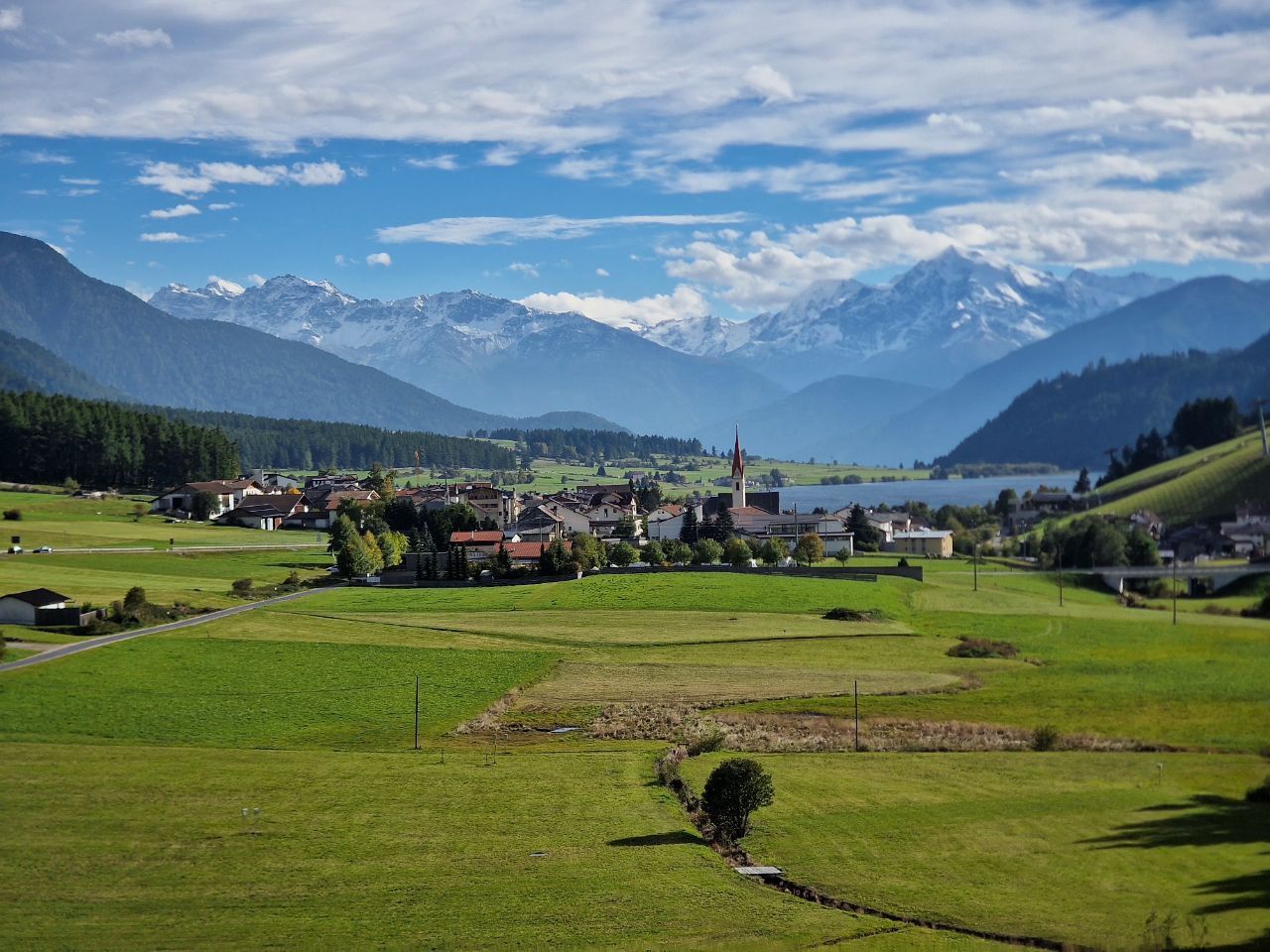

Jednodniowa wycieczka rowerowa z Curon Venosta do Naturno
Dostosuj własną trasę na podstawie naszego szablonu lub zobacz, jak nasza społeczność najchętniej jeździ z Curon Venosta do Naturno.
Szablon trasy
Z Curon Venosta do Naturno
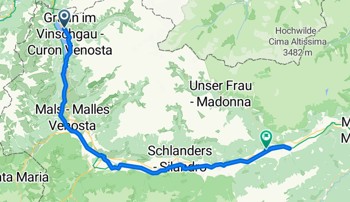
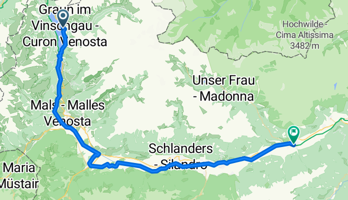
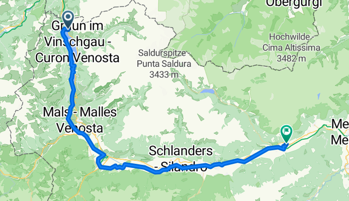
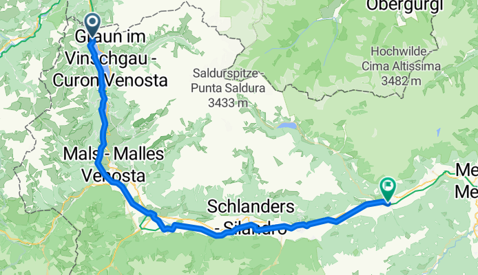
This ride kicks off in Graun im Vinschgau, famous for its hauntingly beautiful church tower rising out of Lake Reschen—a must-see (and photo op!) before you roll out. From here, you’ll enjoy a 64 km mostly-paved journey down the scenic Vinschgau Valley, with a whopping descent of nearly 1,450 meters—so get ready for plenty of effortless cruising!
The route largely follows the Etsch (Adige) River, sticking to dedicated cycleways and quiet country roads for most of the way. Expect awesome mountain views and picturesque apple orchards as you wind down into the heart of South Tyrol. There’s a short stretch of gravel and a bit of loose stuff, but the surface is good overall.
You’ll wrap up in Naturns, a charming little town known for its sunny weather and as a gateway to Merano. Grab a coffee, check out the medieval St. Proculus church, and give yourself a pat on the back—you just tackled one of the prettiest rides in the Alps!
Wspólnota
Najlepsi użytkownicy w tym regionie
Od naszej społeczności
Najlepsze trasy rowerowe z Curon Venosta do Naturno
Reschen - Naturns
Trasa rowerowa w Curon Venosta, Południowy Tyrol, Włochy
- 65,4 km
- Dystans
- 64 m
- Przewyższenia
- 1012 m
- Spadek
genussradtour_vom_reschenpass_bis_nach_naturns_9627913
Trasa rowerowa w Curon Venosta, Południowy Tyrol, Włochy
- 64,4 km
- Dystans
- 159 m
- Przewyższenia
- 1127 m
- Spadek
Etschradweg
Trasa rowerowa w Curon Venosta, Południowy Tyrol, Włochy
- 59,5 km
- Dystans
- 97 m
- Przewyższenia
- 1075 m
- Spadek
via Claudia St. Valentin-Naturns
Trasa rowerowa w Curon Venosta, Południowy Tyrol, Włochy
- 57,7 km
- Dystans
- 38 m
- Przewyższenia
- 972 m
- Spadek
Reschensee-Naturns
Trasa rowerowa w Curon Venosta, Południowy Tyrol, Włochy
- 69,9 km
- Dystans
- 186 m
- Przewyższenia
- 1093 m
- Spadek
naturns
Trasa rowerowa w Curon Venosta, Południowy Tyrol, Włochy
- 58,6 km
- Dystans
- 219 m
- Przewyższenia
- 1188 m
- Spadek
Hauptstraße 13, Graun im Vinschgau nach Gerberweg 8, Naturns
Trasa rowerowa w Curon Venosta, Południowy Tyrol, Włochy
- 62,7 km
- Dystans
- 475 m
- Przewyższenia
- 1457 m
- Spadek
Meran 2
Trasa rowerowa w Curon Venosta, Południowy Tyrol, Włochy
- 60,4 km
- Dystans
- 213 m
- Przewyższenia
- 1270 m
- Spadek
Graun im Vinschgau - Naturns
Trasa rowerowa w Curon Venosta, Południowy Tyrol, Włochy
- 62,7 km
- Dystans
- 164 m
- Przewyższenia
- 1177 m
- Spadek
Prad am Stilfserjoch - Burgstall
Trasa rowerowa w Curon Venosta, Południowy Tyrol, Włochy
- 67,4 km
- Dystans
- 620 m
- Przewyższenia
- 1628 m
- Spadek
11. Etappe: San Valentino nach Naturno
Trasa rowerowa w Curon Venosta, Południowy Tyrol, Włochy
- 61,1 km
- Dystans
- 289 m
- Przewyższenia
- 1225 m
- Spadek
Graun im Vinschgau - Naturns
Trasa rowerowa w Curon Venosta, Południowy Tyrol, Włochy
- 62,3 km
- Dystans
- 299 m
- Przewyższenia
- 1276 m
- Spadek
Odkryj więcej tras
 Reschensee-Naturns
- Dystans
- 69,9 km
- Przewyższenia
- 186 m
- Spadek
- 1093 m
- Lokalizacja
- Curon Venosta, Południowy Tyrol, Włochy
 naturns
- Dystans
- 58,6 km
- Przewyższenia
- 219 m
- Spadek
- 1188 m
- Lokalizacja
- Curon Venosta, Południowy Tyrol, Włochy
 Hauptstraße 13, Graun im Vinschgau nach Gerberweg 8, Naturns
- Dystans
- 62,7 km
- Przewyższenia
- 475 m
- Spadek
- 1457 m
- Lokalizacja
- Curon Venosta, Południowy Tyrol, Włochy
 Meran 2
- Dystans
- 60,4 km
- Przewyższenia
- 213 m
- Spadek
- 1270 m
- Lokalizacja
- Curon Venosta, Południowy Tyrol, Włochy
 Graun im Vinschgau - Naturns
- Dystans
- 62,7 km
- Przewyższenia
- 164 m
- Spadek
- 1177 m
- Lokalizacja
- Curon Venosta, Południowy Tyrol, Włochy
 Prad am Stilfserjoch - Burgstall
- Dystans
- 67,4 km
- Przewyższenia
- 620 m
- Spadek
- 1628 m
- Lokalizacja
- Curon Venosta, Południowy Tyrol, Włochy
 11. Etappe: San Valentino nach Naturno
- Dystans
- 61,1 km
- Przewyższenia
- 289 m
- Spadek
- 1225 m
- Lokalizacja
- Curon Venosta, Południowy Tyrol, Włochy
 Graun im Vinschgau - Naturns
- Dystans
- 62,3 km
- Przewyższenia
- 299 m
- Spadek
- 1276 m
- Lokalizacja
- Curon Venosta, Południowy Tyrol, Włochy
Trasy z Curon Venosta
Bikepacking od
Z Curon Venosta do Trydent
Jednodniowa wycieczka rowerowa od
Z Curon Venosta do Meran
Szybka przejażdżka rowerowa od
Z Curon Venosta do Malles Venosta
Trasy do Naturno
Jednodniowa wycieczka rowerowa od
Z Nauders do Naturno


