
Szablon trasy
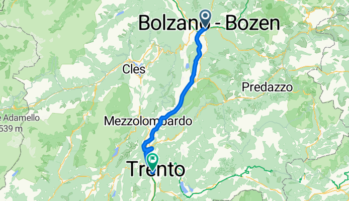
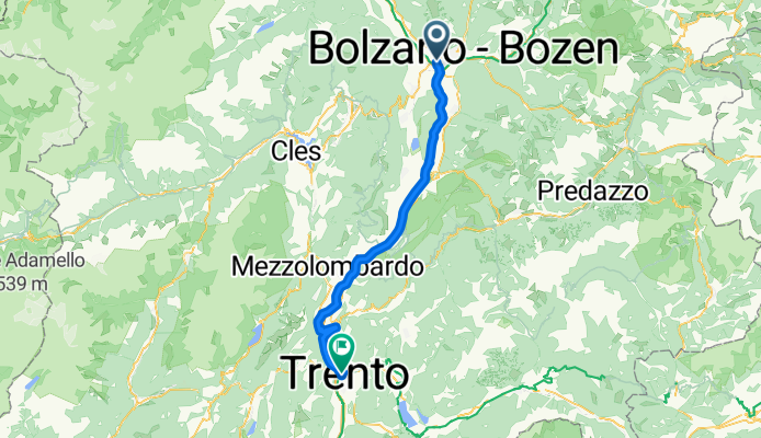
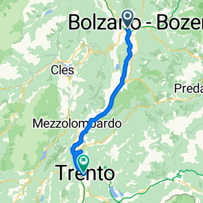
Z Bolzano do Trydent
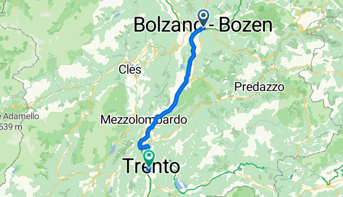
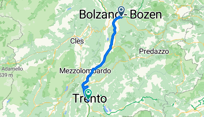
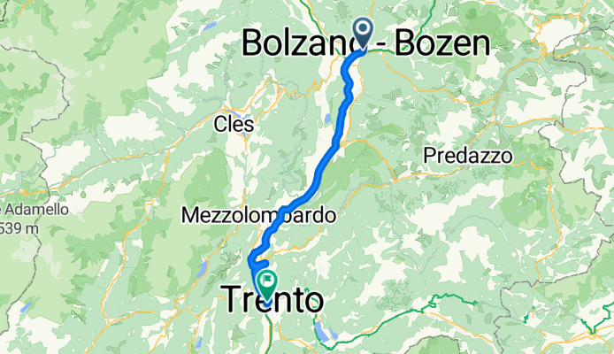
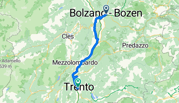
This is a classic ride through northern Italy, linking two charming cities: Bolzano and Trento. You’ll cover about 65 km, mostly along smooth, paved surfaces—almost entirely on designated cycleways, which means a relaxed journey without much traffic to worry about.
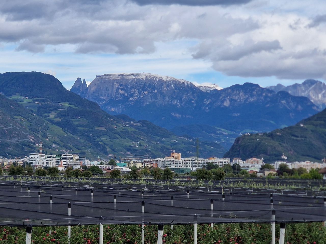
Start your journey in Bolzano, famous for its fusion of Italian and Austrian cultures (and home of Ötzi the Iceman!). From here, pedal south following the Adige River valley—the route is mostly flat and slightly downhill with gentle climbs, so you can enjoy the stunning alpine scenery without breaking too much of a sweat. Vineyards and orchards line the path, and you’ll roll through picturesque villages—stop for a coffee or gelato if you like.
You’ll end in Trento, a lively university town with a medieval city center and Renaissance architecture. The ride is ideal for anyone looking for a scenic, stress-free cycling day through the heart of Trentino-Alto Adige. Don’t forget your camera—the views are worth it!
Wspólnota
Najlepsi użytkownicy w tym regionie
Od naszej społeczności
Najlepsze trasy rowerowe z Bolzano do Trydent
Von Trient bis Peschiera del Garda
Trasa rowerowa w Bolzano, Południowy Tyrol, Włochy
- 65,4 km
- Dystans
- 208 m
- Przewyższenia
- 277 m
- Spadek
Lavis - Torbole sul Garda
Trasa rowerowa w Bolzano, Południowy Tyrol, Włochy
- 66,3 km
- Dystans
- 194 m
- Przewyższenia
- 279 m
- Spadek
Lavis - Trento
Trasa rowerowa w Bolzano, Południowy Tyrol, Włochy
- 64,3 km
- Dystans
- 175 m
- Przewyższenia
- 244 m
- Spadek
Naturns - Meran
Trasa rowerowa w Bolzano, Południowy Tyrol, Włochy
- 70,7 km
- Dystans
- 439 m
- Przewyższenia
- 507 m
- Spadek
Bozen - Trient
Trasa rowerowa w Bolzano, Południowy Tyrol, Włochy
- 63,3 km
- Dystans
- 172 m
- Przewyższenia
- 232 m
- Spadek
Wiederhergestellte Route
Trasa rowerowa w Bolzano, Południowy Tyrol, Włochy
- 65,6 km
- Dystans
- 178 m
- Przewyższenia
- 247 m
- Spadek
bozen-trento
Trasa rowerowa w Bolzano, Południowy Tyrol, Włochy
- 64,8 km
- Dystans
- 77 m
- Przewyższenia
- 130 m
- Spadek
2025_EN_Bolzano-Trento | hilly
Trasa rowerowa w Bolzano, Południowy Tyrol, Włochy
- 72 km
- Dystans
- 467 m
- Przewyższenia
- 536 m
- Spadek
3_Etschradweg Bozen nach Trento 63KM
Trasa rowerowa w Bolzano, Południowy Tyrol, Włochy
- 64,2 km
- Dystans
- 197 m
- Przewyższenia
- 240 m
- Spadek
1 BOLZANO-TRENTO
Trasa rowerowa w Bolzano, Południowy Tyrol, Włochy
- 64,7 km
- Dystans
- 37 m
- Przewyższenia
- 112 m
- Spadek
Od Bolzano do Trydent
Trasa rowerowa w Bolzano, Południowy Tyrol, Włochy
- 65,6 km
- Dystans
- 185 m
- Przewyższenia
- 255 m
- Spadek
09_Bozen-Trient_70-30_Sehwürdk
Trasa rowerowa w Bolzano, Południowy Tyrol, Włochy
- 69,7 km
- Dystans
- 44 m
- Przewyższenia
- 117 m
- Spadek
Odkryj więcej tras
 Bozen - Trient
- Dystans
- 63,3 km
- Przewyższenia
- 172 m
- Spadek
- 232 m
- Lokalizacja
- Bolzano, Południowy Tyrol, Włochy
 Wiederhergestellte Route
- Dystans
- 65,6 km
- Przewyższenia
- 178 m
- Spadek
- 247 m
- Lokalizacja
- Bolzano, Południowy Tyrol, Włochy
 bozen-trento
- Dystans
- 64,8 km
- Przewyższenia
- 77 m
- Spadek
- 130 m
- Lokalizacja
- Bolzano, Południowy Tyrol, Włochy
 2025_EN_Bolzano-Trento | hilly
- Dystans
- 72 km
- Przewyższenia
- 467 m
- Spadek
- 536 m
- Lokalizacja
- Bolzano, Południowy Tyrol, Włochy
 3_Etschradweg Bozen nach Trento 63KM
- Dystans
- 64,2 km
- Przewyższenia
- 197 m
- Spadek
- 240 m
- Lokalizacja
- Bolzano, Południowy Tyrol, Włochy
 1 BOLZANO-TRENTO
- Dystans
- 64,7 km
- Przewyższenia
- 37 m
- Spadek
- 112 m
- Lokalizacja
- Bolzano, Południowy Tyrol, Włochy
 Od Bolzano do Trydent
- Dystans
- 65,6 km
- Przewyższenia
- 185 m
- Spadek
- 255 m
- Lokalizacja
- Bolzano, Południowy Tyrol, Włochy
 09_Bozen-Trient_70-30_Sehwürdk
- Dystans
- 69,7 km
- Przewyższenia
- 44 m
- Spadek
- 117 m
- Lokalizacja
- Bolzano, Południowy Tyrol, Włochy
Trasy z Bolzano
Bikepacking od
Z Bolzano do Innsbruck
Bikepacking od
Z Bolzano do Werona
Jednodniowa wycieczka rowerowa od
Z Bolzano do Meran
Jednodniowa wycieczka rowerowa od
Z Bolzano do Rovereto
Rowerowa od
Z Bolzano do Caldaro sulla Strada del Vino
Trasy do Trydent
Bikepacking od
Z Curon Venosta do Trydent
Jednodniowa wycieczka rowerowa od
Z Meran do Trydent
Jednodniowa wycieczka rowerowa od
Z Werona do Trydent


