
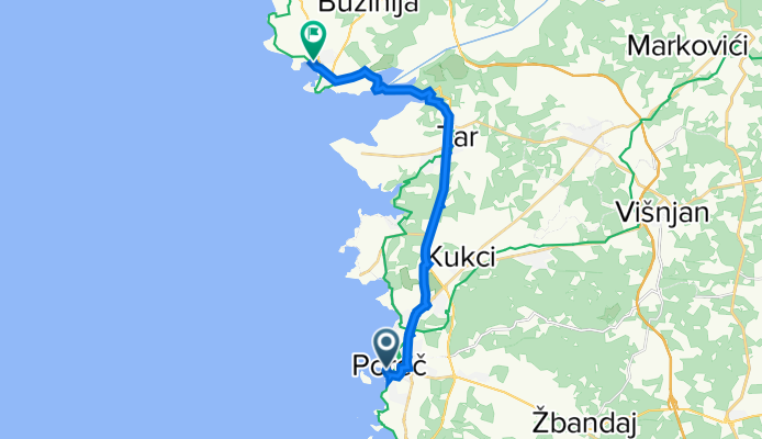
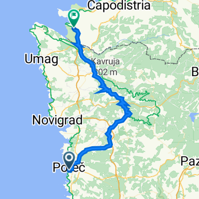
Szablon trasy
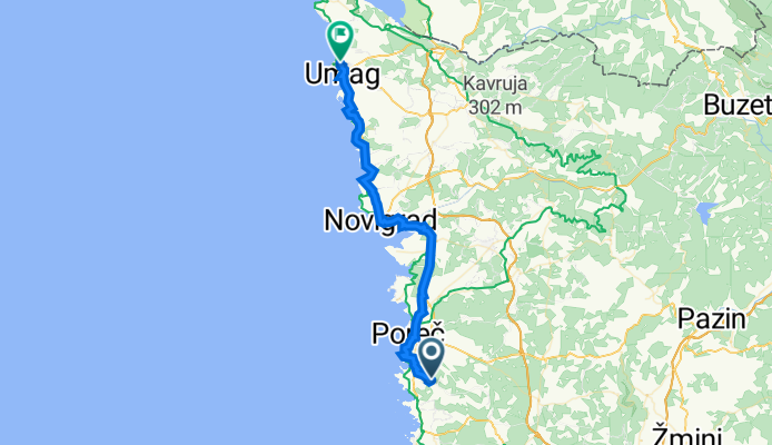
Z Poreč do Seča
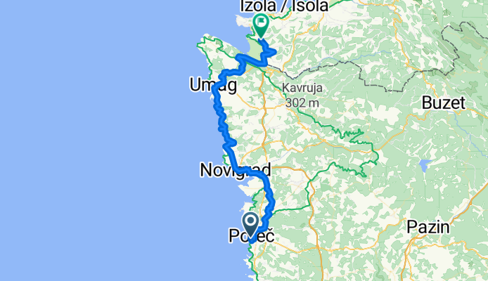
- 4 h
- Czas
- 59,5 km
- Dystans
- 583 m
- Przewyższenia
- 551 m
- Spadek
- 14,9 km/h
- Śr. Prędkość
- 106 m
- Maks. wysokość
This scenic ride starts in the lovely coastal town of Poreč, famous for its UNESCO-listed Euphrasian Basilica and laid-back Adriatic vibes. The route to Seča takes you north along the Istrian peninsula, covering about 59 km (give or take), and gives your legs a good workout with almost 600 meters of climbing along the way.
You’ll mostly be on paved and asphalt surfaces, though expect a few stretches of gravel and unpaved tracks—great for mixing things up and keeping things interesting. It’s a relaxed ride in terms of traffic: most of the way winds along quiet roads and scenic cycleways past rolling vineyards, olive groves, and tiny villages where time seems to stand still.
Once you reach Seča, you’re a stone’s throw from Portorož and the beautiful salt pans of Sečovlje, a unique natural area on the Slovene coast. Perfect for a leg-stretch or a relaxed drink by the seaside. All in all, a brilliant mix of coastal scenery, countryside, and Istrian charm!
Wspólnota
Najlepsi użytkownicy w tym regionie


Od naszej społeczności
Najlepsze trasy rowerowe z Poreč do Seča
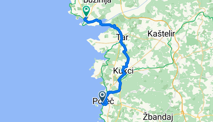
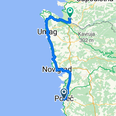
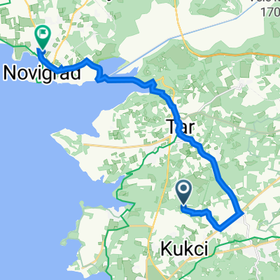
Matije Vlačića, Poreč nach Goranska ulica, Novigrad
Trasa rowerowa w Poreč, Istria County, Chorwacja
- 20,3 km
- Dystans
- 243 m
- Przewyższenia
- 228 m
- Spadek

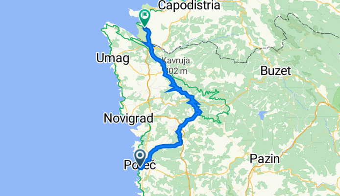
PARENZANA HR
Trasa rowerowa w Poreč, Istria County, Chorwacja
- 80,5 km
- Dystans
- 624 m
- Przewyższenia
- 620 m
- Spadek

Poreč-Parecag (ob morju)
Trasa rowerowa w Poreč, Istria County, Chorwacja
- 63 km
- Dystans
- 350 m
- Przewyższenia
- 446 m
- Spadek
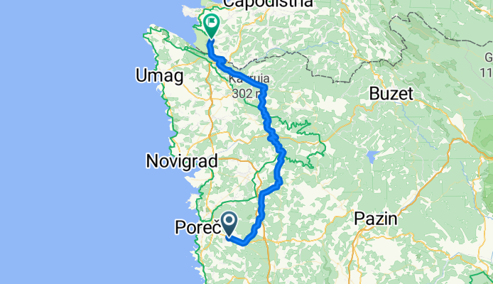
19 PARENZANA
Trasa rowerowa w Poreč, Istria County, Chorwacja
- 80,5 km
- Dystans
- 583 m
- Przewyższenia
- 583 m
- Spadek
9_porec-novigrad
Trasa rowerowa w Poreč, Istria County, Chorwacja
- 23,7 km
- Dystans
- 205 m
- Przewyższenia
- 211 m
- Spadek
Porec Novigrad
Trasa rowerowa w Poreč, Istria County, Chorwacja
- 17 km
- Dystans
- 183 m
- Przewyższenia
- 182 m
- Spadek
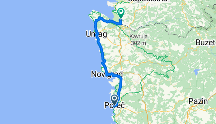
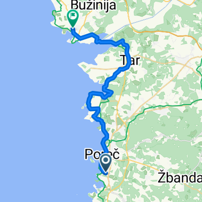
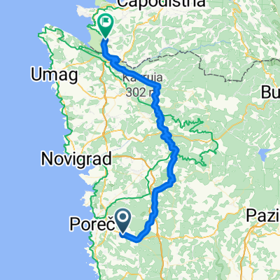
Poreč Seča 2
Trasa rowerowa w Poreč, Istria County, Chorwacja
- 51,6 km
- Dystans
- 626 m
- Przewyższenia
- 626 m
- Spadek
Parenzo-sicciole
Trasa rowerowa w Poreč, Istria County, Chorwacja
- 48,8 km
- Dystans
- 369 m
- Przewyższenia
- 359 m
- Spadek
Poreč-Parecag (notranjost)
Trasa rowerowa w Poreč, Istria County, Chorwacja
- 50,4 km
- Dystans
- 568 m
- Przewyższenia
- 663 m
- Spadek

9_porec-novigrad
Trasa rowerowa w Poreč, Istria County, Chorwacja
- 23,7 km
- Dystans
- 209 m
- Przewyższenia
- 217 m
- Spadek
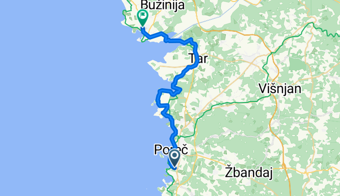
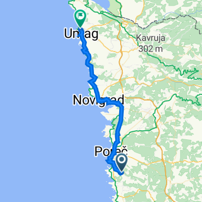
Mugeba 62, Monghebbo nach Jadranska ulica 58, Umag
Trasa rowerowa w Poreč, Istria County, Chorwacja
- 39,9 km
- Dystans
- 361 m
- Przewyższenia
- 418 m
- Spadek
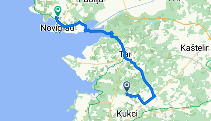
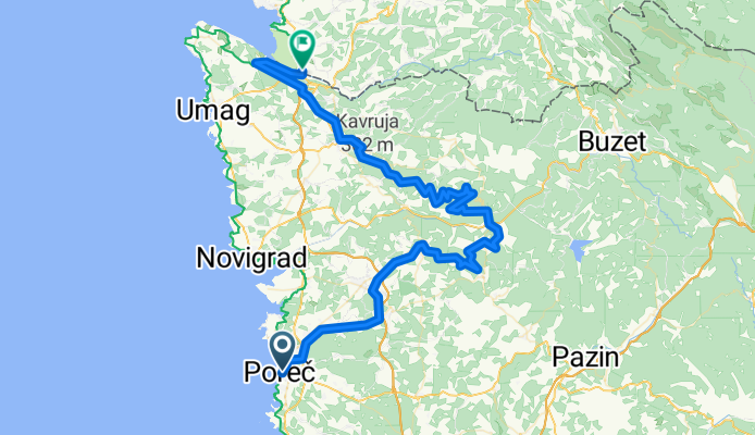
Rošini to Ulica Vergal 26, Novigrad
Trasa rowerowa w Poreč, Istria County, Chorwacja
- 14 km
- Dystans
- 137 m
- Przewyższenia
- 171 m
- Spadek
Odkryj więcej tras
 9_porec-novigrad
- Dystans
- 23,7 km
- Przewyższenia
- 205 m
- Spadek
- 211 m
- Lokalizacja
- Poreč, Istria County, Chorwacja
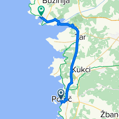 Porec Novigrad
- Dystans
- 17 km
- Przewyższenia
- 183 m
- Spadek
- 182 m
- Lokalizacja
- Poreč, Istria County, Chorwacja
 Poreč Seča 2
- Dystans
- 51,6 km
- Przewyższenia
- 626 m
- Spadek
- 626 m
- Lokalizacja
- Poreč, Istria County, Chorwacja
 Parenzo-sicciole
- Dystans
- 48,8 km
- Przewyższenia
- 369 m
- Spadek
- 359 m
- Lokalizacja
- Poreč, Istria County, Chorwacja
 Poreč-Parecag (notranjost)
- Dystans
- 50,4 km
- Przewyższenia
- 568 m
- Spadek
- 663 m
- Lokalizacja
- Poreč, Istria County, Chorwacja
 9_porec-novigrad
- Dystans
- 23,7 km
- Przewyższenia
- 209 m
- Spadek
- 217 m
- Lokalizacja
- Poreč, Istria County, Chorwacja
 Mugeba 62, Monghebbo nach Jadranska ulica 58, Umag
- Dystans
- 39,9 km
- Przewyższenia
- 361 m
- Spadek
- 418 m
- Lokalizacja
- Poreč, Istria County, Chorwacja
 Rošini to Ulica Vergal 26, Novigrad
- Dystans
- 14 km
- Przewyższenia
- 137 m
- Spadek
- 171 m
- Lokalizacja
- Poreč, Istria County, Chorwacja
Trasy z Poreč
Jednodniowa wycieczka rowerowa od
Z Poreč do Triest
Jednodniowa wycieczka rowerowa od
Z Poreč do Karojba
Rowerowa od
Z Poreč do Vrsar
Trasy do Seča
Jednodniowa wycieczka rowerowa od
Z Umag do Seča
Rowerowa od
Z Koper do Seča
Rowerowa od
Z Buje do Seča