
Jednodniowa wycieczka rowerowa z Gmina Kranjska Gora do Bled
Dostosuj własną trasę na podstawie naszego szablonu lub zobacz, jak nasza społeczność najchętniej jeździ z Gmina Kranjska Gora do Bled.
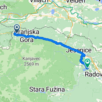
Szablon trasy
Z Gmina Kranjska Gora do Bled

- 3 h 8 min
- Czas
- 44 km
- Dystans
- 903 m
- Przewyższenia
- 1395 m
- Spadek
- 14 km/h
- Śr. Prędkość
- 1044 m
- Maks. wysokość
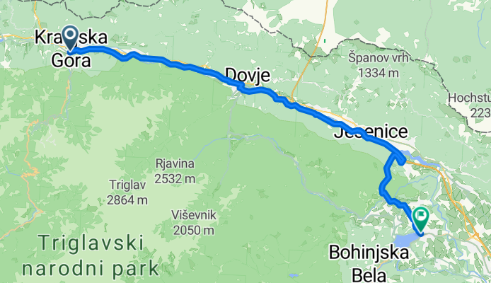
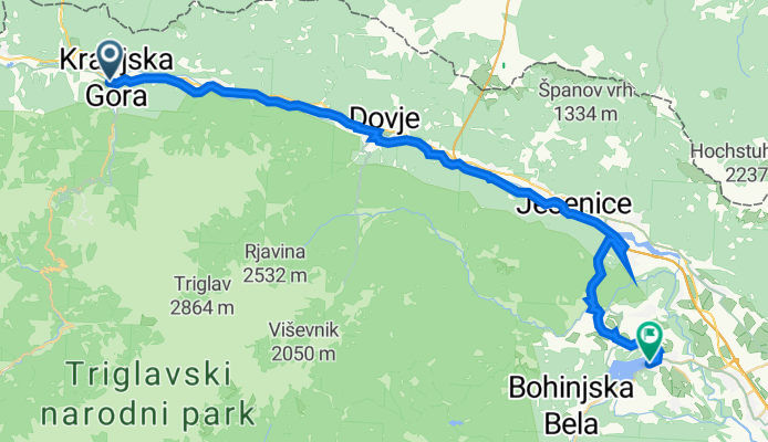
This cycling route takes you from the mountain town of Kranjska Gora to the famous lakeside retreat of Bled—two gems in Slovenia’s Julian Alps. Covering around 44 km, it’s a ride for those ready for a bit of a workout: you’ll climb nearly 900 meters and enjoy over 1,300 meters of descent, with the high point topping out at just over 1,040 meters. Expect smooth sailing for most of the journey, as about three-quarters is paved, with a mix of cycleways and quiet country roads. There’s a stretch with gravel, so consider sturdy tires.
Kranjska Gora is a popular ski resort, but in summer it’s beloved by cyclists, with crisp air and dramatic alpine views. The ride winds past rivers, forests, and meadows—perfect for plenty of photo stops. You’ll end at Lake Bled, famous for its picture-perfect island church and fairytale castle perched above the lake. Reward yourself with a slice of the local cream cake—a Bled specialty. It’s a perfect blend of scenic adventure and cultural highlights!
Wspólnota
Najlepsi użytkownicy w tym regionie


Od naszej społeczności
Najlepsze trasy rowerowe z Gmina Kranjska Gora do Bled

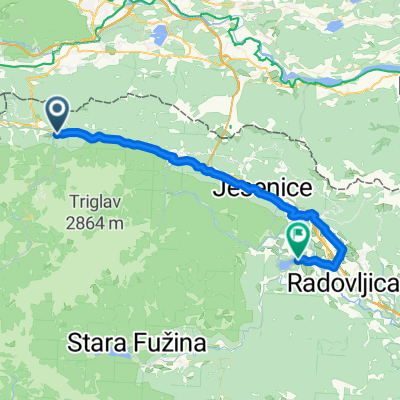
Day 7 | Kranjska Gora to Bled
Trasa rowerowa w Gmina Kranjska Gora, Kranjska Gora, Słowenia
- 40 km
- Dystans
- 552 m
- Przewyższenia
- 882 m
- Spadek
Kg-Bled
Trasa rowerowa w Gmina Kranjska Gora, Kranjska Gora, Słowenia
- 37,1 km
- Dystans
- 548 m
- Przewyższenia
- 877 m
- Spadek

Planica - KG - Jesenice - Begunje - Radovljica - Bled
Trasa rowerowa w Gmina Kranjska Gora, Kranjska Gora, Słowenia
- 62 km
- Dystans
- 184 m
- Przewyższenia
- 668 m
- Spadek

Kranjska gora - soutěska Vintgar - Bled
Trasa rowerowa w Gmina Kranjska Gora, Kranjska Gora, Słowenia
- 40,1 km
- Dystans
- 240 m
- Przewyższenia
- 541 m
- Spadek

Tag 7: Kranjska Gora - Mojstrana -Radovna - Bled
Trasa rowerowa w Gmina Kranjska Gora, Kranjska Gora, Słowenia
- 39,2 km
- Dystans
- 286 m
- Przewyższenia
- 592 m
- Spadek
Untitled route
Trasa rowerowa w Gmina Kranjska Gora, Kranjska Gora, Słowenia
- 43,7 km
- Dystans
- 613 m
- Przewyższenia
- 993 m
- Spadek

Kraljevska
Trasa rowerowa w Gmina Kranjska Gora, Kranjska Gora, Słowenia
- 192,3 km
- Dystans
- 2952 m
- Przewyższenia
- 3267 m
- Spadek

Kranjska Gora - Bled
Trasa rowerowa w Gmina Kranjska Gora, Kranjska Gora, Słowenia
- 34,7 km
- Dystans
- 210 m
- Przewyższenia
- 514 m
- Spadek

Ratece to Bled
Trasa rowerowa w Gmina Kranjska Gora, Kranjska Gora, Słowenia
- 42,2 km
- Dystans
- 189 m
- Przewyższenia
- 565 m
- Spadek

Map 18 Kranjska Gora to Bled
Trasa rowerowa w Gmina Kranjska Gora, Kranjska Gora, Słowenia
- 35,1 km
- Dystans
- 180 m
- Przewyższenia
- 494 m
- Spadek
From Kranjska Gora to Bled
Trasa rowerowa w Gmina Kranjska Gora, Kranjska Gora, Słowenia
- 43,9 km
- Dystans
- 528 m
- Przewyższenia
- 856 m
- Spadek
Kranjska Gora to Bled
Trasa rowerowa w Gmina Kranjska Gora, Kranjska Gora, Słowenia
- 38,5 km
- Dystans
- 573 m
- Przewyższenia
- 901 m
- Spadek
Odkryj więcej tras
 Tag 7: Kranjska Gora - Mojstrana -Radovna - Bled
- Dystans
- 39,2 km
- Przewyższenia
- 286 m
- Spadek
- 592 m
- Lokalizacja
- Gmina Kranjska Gora, Kranjska Gora, Słowenia
 Untitled route
- Dystans
- 43,7 km
- Przewyższenia
- 613 m
- Spadek
- 993 m
- Lokalizacja
- Gmina Kranjska Gora, Kranjska Gora, Słowenia
 Kraljevska
- Dystans
- 192,3 km
- Przewyższenia
- 2952 m
- Spadek
- 3267 m
- Lokalizacja
- Gmina Kranjska Gora, Kranjska Gora, Słowenia
 Kranjska Gora - Bled
- Dystans
- 34,7 km
- Przewyższenia
- 210 m
- Spadek
- 514 m
- Lokalizacja
- Gmina Kranjska Gora, Kranjska Gora, Słowenia
 Ratece to Bled
- Dystans
- 42,2 km
- Przewyższenia
- 189 m
- Spadek
- 565 m
- Lokalizacja
- Gmina Kranjska Gora, Kranjska Gora, Słowenia
 Map 18 Kranjska Gora to Bled
- Dystans
- 35,1 km
- Przewyższenia
- 180 m
- Spadek
- 494 m
- Lokalizacja
- Gmina Kranjska Gora, Kranjska Gora, Słowenia
 From Kranjska Gora to Bled
- Dystans
- 43,9 km
- Przewyższenia
- 528 m
- Spadek
- 856 m
- Lokalizacja
- Gmina Kranjska Gora, Kranjska Gora, Słowenia
 Kranjska Gora to Bled
- Dystans
- 38,5 km
- Przewyższenia
- 573 m
- Spadek
- 901 m
- Lokalizacja
- Gmina Kranjska Gora, Kranjska Gora, Słowenia
Trasy z Gmina Kranjska Gora
Bikepacking od
Z Gmina Kranjska Gora do Tolmin
Bikepacking od
Z Gmina Kranjska Gora do Gmina Kobarid
Jednodniowa wycieczka rowerowa od
Z Gmina Kranjska Gora do Bohinjska Bistrica
Jednodniowa wycieczka rowerowa od
Z Gmina Kranjska Gora do Mojstrana
Trasy do Bled
Jednodniowa wycieczka rowerowa od
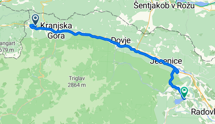
Z Bohinjska Bistrica do Bled
Jednodniowa wycieczka rowerowa od
Z Villach do Bled
Rowerowa od
Z Lesce do Bled
Rowerowa od
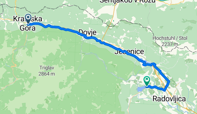
Z Gmina Radovljica do Bled