

Jednodniowa wycieczka rowerowa z Akwizgran do Eschweiler
Dostosuj własną trasę na podstawie naszego szablonu lub zobacz, jak nasza społeczność najchętniej jeździ z Akwizgran do Eschweiler.
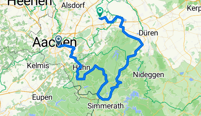
Szablon trasy
Z Akwizgran do Eschweiler

- 1 h 17 min
- Czas
- 21,1 km
- Dystans
- 132 m
- Przewyższenia
- 169 m
- Spadek
- 16,6 km/h
- Śr. Prędkość
- 211 m
- Maks. wysokość
This relaxed ride takes you from the historic city of Aachen to the friendly town of Eschweiler—perfect for a half-day adventure! Starting in Aachen, famous for its grand old cathedral and university vibe, you’ll wind your way northeast through a mix of quiet roads (about 40% of your ride) and scenic paths and tracks.
Nearly three-quarters of the 21-kilometer route is smooth asphalt or paved surfaces, so it’s an easy roll for most bikes, with only a few short gravel sections to break things up. Along the way, you’ll gently climb 132 meters but descend even more, so the ride feels easier the farther you go.
As you roll into Eschweiler, you’ll notice its industrial heritage and welcoming old town. Grab a snack at a café or check out the local parks before heading back or hopping on a train home. Whether you’re out for fitness or just some fresh air, this is a great little day trip in NRW!
Wspólnota
Najlepsi użytkownicy w tym regionie


Od naszej społeczności
Najlepsze trasy rowerowe z Akwizgran do Eschweiler

Mein Weg zur KMV
Trasa rowerowa w Akwizgran, Nadrenia Północna-Westfalia, Niemcy
- 21,1 km
- Dystans
- 138 m
- Przewyższenia
- 195 m
- Spadek

lange Runde zum Blausteinsee
Trasa rowerowa w Akwizgran, Nadrenia Północna-Westfalia, Niemcy
- 73,5 km
- Dystans
- 546 m
- Przewyższenia
- 564 m
- Spadek

lange hohe Runde über rursee zum Blausteinsee
Trasa rowerowa w Akwizgran, Nadrenia Północna-Westfalia, Niemcy
- 110,2 km
- Dystans
- 978 m
- Przewyższenia
- 995 m
- Spadek

Henrotte Fahrradhändler
Trasa rowerowa w Akwizgran, Nadrenia Północna-Westfalia, Niemcy
- 16,8 km
- Dystans
- 96 m
- Przewyższenia
- 138 m
- Spadek

Büro - Mathonet
Trasa rowerowa w Akwizgran, Nadrenia Północna-Westfalia, Niemcy
- 19,2 km
- Dystans
- 136 m
- Przewyższenia
- 167 m
- Spadek

Aachen - Blausteinsee
Trasa rowerowa w Akwizgran, Nadrenia Północna-Westfalia, Niemcy
- 20,3 km
- Dystans
- 103 m
- Przewyższenia
- 116 m
- Spadek

Home_Blausteinsee_Work
Trasa rowerowa w Akwizgran, Nadrenia Północna-Westfalia, Niemcy
- 22 km
- Dystans
- 109 m
- Przewyższenia
- 130 m
- Spadek

Route Institutsausflug
Trasa rowerowa w Akwizgran, Nadrenia Północna-Westfalia, Niemcy
- 25 km
- Dystans
- 127 m
- Przewyższenia
- 170 m
- Spadek

sehr lange Runde zum Blausteinsee
Trasa rowerowa w Akwizgran, Nadrenia Północna-Westfalia, Niemcy
- 78,8 km
- Dystans
- 670 m
- Przewyższenia
- 695 m
- Spadek

Von Aachen zum Blausteinsee mit gemäßigtem Höhenprofil
Trasa rowerowa w Akwizgran, Nadrenia Północna-Westfalia, Niemcy
- 26,1 km
- Dystans
- 135 m
- Przewyższenia
- 173 m
- Spadek

Heimfahrt 1 Krefelder Straße
Trasa rowerowa w Akwizgran, Nadrenia Północna-Westfalia, Niemcy
- 20,8 km
- Dystans
- 149 m
- Przewyższenia
- 154 m
- Spadek
lange hohe Runde zum Blausteinsee
Trasa rowerowa w Akwizgran, Nadrenia Północna-Westfalia, Niemcy
- 88,5 km
- Dystans
- 756 m
- Przewyższenia
- 774 m
- Spadek
Odkryj więcej tras
 Büro - Mathonet
- Dystans
- 19,2 km
- Przewyższenia
- 136 m
- Spadek
- 167 m
- Lokalizacja
- Akwizgran, Nadrenia Północna-Westfalia, Niemcy
 Aachen - Blausteinsee
- Dystans
- 20,3 km
- Przewyższenia
- 103 m
- Spadek
- 116 m
- Lokalizacja
- Akwizgran, Nadrenia Północna-Westfalia, Niemcy
 Home_Blausteinsee_Work
- Dystans
- 22 km
- Przewyższenia
- 109 m
- Spadek
- 130 m
- Lokalizacja
- Akwizgran, Nadrenia Północna-Westfalia, Niemcy
 Route Institutsausflug
- Dystans
- 25 km
- Przewyższenia
- 127 m
- Spadek
- 170 m
- Lokalizacja
- Akwizgran, Nadrenia Północna-Westfalia, Niemcy
 sehr lange Runde zum Blausteinsee
- Dystans
- 78,8 km
- Przewyższenia
- 670 m
- Spadek
- 695 m
- Lokalizacja
- Akwizgran, Nadrenia Północna-Westfalia, Niemcy
 Von Aachen zum Blausteinsee mit gemäßigtem Höhenprofil
- Dystans
- 26,1 km
- Przewyższenia
- 135 m
- Spadek
- 173 m
- Lokalizacja
- Akwizgran, Nadrenia Północna-Westfalia, Niemcy
 Heimfahrt 1 Krefelder Straße
- Dystans
- 20,8 km
- Przewyższenia
- 149 m
- Spadek
- 154 m
- Lokalizacja
- Akwizgran, Nadrenia Północna-Westfalia, Niemcy
 lange hohe Runde zum Blausteinsee
- Dystans
- 88,5 km
- Przewyższenia
- 756 m
- Spadek
- 774 m
- Lokalizacja
- Akwizgran, Nadrenia Północna-Westfalia, Niemcy
Trasy z Akwizgran
Bikepacking od
Z Akwizgran do Trewir
Jednodniowa wycieczka rowerowa od
Z Akwizgran do Raeren
Jednodniowa wycieczka rowerowa od
Z Akwizgran do Bonn
Rowerowa od
Z Akwizgran do Vaals
Rowerowa od
Z Akwizgran do Alsdorf