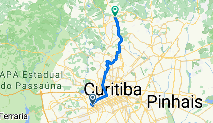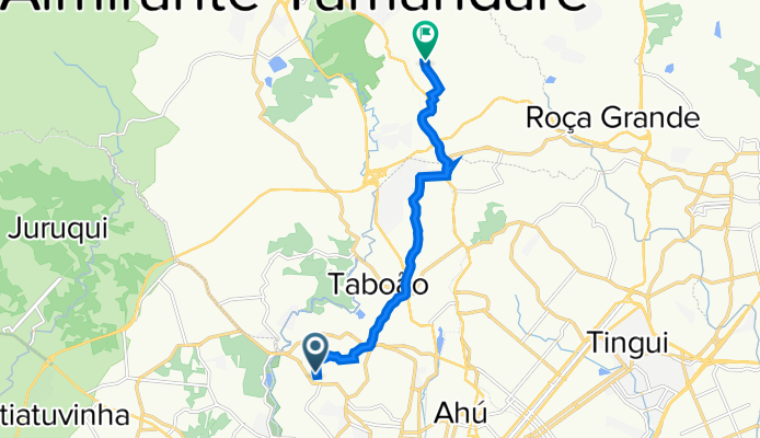

Jednodniowa wycieczka rowerowa z Kurytyba do Almirante Tamandaré
Dostosuj własną trasę na podstawie naszego szablonu lub zobacz, jak nasza społeczność najchętniej jeździ z Kurytyba do Almirante Tamandaré.
Szablon trasy
Z Kurytyba do Almirante Tamandaré
This cycling route takes you from the lively city of Curitiba to the charming town of Almirante Tamandaré, just over 20 km to the north. Starting in Curitiba—a hub known for its innovative urban planning and parks—you’ll head out on mostly quiet roads and cycleways, so it’s a relaxing ride away from heavy traffic.
You’ll pass through some rolling sections, with a pretty decent total ascent of more than 300 meters, giving your legs a pleasant workout. The scenery shifts from Curitiba’s bustling urban vibe to more laid-back, green surroundings as you get closer to Almirante Tamandaré, which is known for its nature spots like Parque Tingui and several historic chapels.
Surfaces are pretty varied: expect a mix of paved, asphalt, and some gravel stretches, so wider tires are a good idea for extra comfort. It’s a great route if you want to leave the city behind for a bit and soak up some countryside atmosphere, ending your ride in a quieter locale known for its connection to the region’s history.
Wspólnota
Najlepsi użytkownicy w tym regionie
Od naszej społeczności
Najlepsze trasy rowerowe z Kurytyba do Almirante Tamandaré
Casa - Restaurante Evíssima
Trasa rowerowa w Kurytyba, Parana, Brazylia
- 9,9 km
- Dystans
- 244 m
- Przewyższenia
- 166 m
- Spadek
Rota para Rua Campina Grande do Sul, 247, Casa 1, Almirante Tamandaré
Trasa rowerowa w Kurytyba, Parana, Brazylia
- 10,4 km
- Dystans
- 271 m
- Przewyższenia
- 239 m
- Spadek
canelinha campo magro
Trasa rowerowa w Kurytyba, Parana, Brazylia
- 47,3 km
- Dystans
- 115 326 m
- Przewyższenia
- 114 353 m
- Spadek
De Rua Benjamin Lins 869 a Rua Hassan Mohamed Raad 827
Trasa rowerowa w Kurytyba, Parana, Brazylia
- 11,6 km
- Dystans
- 146 m
- Przewyższenia
- 119 m
- Spadek
Ciclovia Estrada de Ferro Norte
Trasa rowerowa w Kurytyba, Parana, Brazylia
- 11,9 km
- Dystans
- 161 m
- Przewyższenia
- 56 m
- Spadek
Avenida Manoel Ribas, 2728, Curitiba a Rua Sebastiana Lustosa de Freitas, 48, Casa 1, Almirante Tamandaré
Trasa rowerowa w Kurytyba, Parana, Brazylia
- 10,8 km
- Dystans
- 290 m
- Przewyższenia
- 230 m
- Spadek
De Rua Bispo Dom José a Rua Pedro Vítor de Lima
Trasa rowerowa w Kurytyba, Parana, Brazylia
- 16,9 km
- Dystans
- 311 m
- Przewyższenia
- 278 m
- Spadek
Rua Campo Largo da Piedade, 191, Curitiba a Rua Campina Grande do Sul, 259, Casa 1, Almirante Tamandaré
Trasa rowerowa w Kurytyba, Parana, Brazylia
- 10,4 km
- Dystans
- 167 m
- Przewyższenia
- 136 m
- Spadek
De Rua Melchiades Silveira do Valle 850 a Rua Gerônimo Muraro 1500
Trasa rowerowa w Kurytyba, Parana, Brazylia
- 4,4 km
- Dystans
- 122 m
- Przewyższenia
- 51 m
- Spadek
Rua Professor Hostílio Araújo, 163, Curitiba a Rua Campina Grande do Sul, 247, Casa 1, Almirante Tamandaré
Trasa rowerowa w Kurytyba, Parana, Brazylia
- 10,5 km
- Dystans
- 315 m
- Przewyższenia
- 122 m
- Spadek
Bicicletaria Cultural - Santa II - caminho por cima
Trasa rowerowa w Kurytyba, Parana, Brazylia
- 10 km
- Dystans
- 176 m
- Przewyższenia
- 104 m
- Spadek
Odkryj więcej tras
 Ciclovia Estrada de Ferro Norte
- Dystans
- 11,9 km
- Przewyższenia
- 161 m
- Spadek
- 56 m
- Lokalizacja
- Kurytyba, Parana, Brazylia
 Avenida Manoel Ribas, 2728, Curitiba a Rua Sebastiana Lustosa de Freitas, 48, Casa 1, Almirante Tamandaré
- Dystans
- 10,8 km
- Przewyższenia
- 290 m
- Spadek
- 230 m
- Lokalizacja
- Kurytyba, Parana, Brazylia
 De Rua Bispo Dom José a Rua Pedro Vítor de Lima
- Dystans
- 16,9 km
- Przewyższenia
- 311 m
- Spadek
- 278 m
- Lokalizacja
- Kurytyba, Parana, Brazylia
 Rua Campo Largo da Piedade, 191, Curitiba a Rua Campina Grande do Sul, 259, Casa 1, Almirante Tamandaré
- Dystans
- 10,4 km
- Przewyższenia
- 167 m
- Spadek
- 136 m
- Lokalizacja
- Kurytyba, Parana, Brazylia
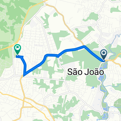 De Rua Melchiades Silveira do Valle 850 a Rua Gerônimo Muraro 1500
- Dystans
- 4,4 km
- Przewyższenia
- 122 m
- Spadek
- 51 m
- Lokalizacja
- Kurytyba, Parana, Brazylia
 Casa do Jé
- Dystans
- 32,1 km
- Przewyższenia
- 489 m
- Spadek
- 458 m
- Lokalizacja
- Kurytyba, Parana, Brazylia
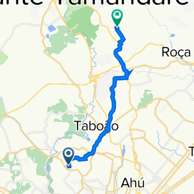 Rua Professor Hostílio Araújo, 163, Curitiba a Rua Campina Grande do Sul, 247, Casa 1, Almirante Tamandaré
- Dystans
- 10,5 km
- Przewyższenia
- 315 m
- Spadek
- 122 m
- Lokalizacja
- Kurytyba, Parana, Brazylia
 Bicicletaria Cultural - Santa II - caminho por cima
- Dystans
- 10 km
- Przewyższenia
- 176 m
- Spadek
- 104 m
- Lokalizacja
- Kurytyba, Parana, Brazylia
Trasy z Kurytyba
Jednodniowa wycieczka rowerowa od
Z Kurytyba do Antonina
Rowerowa od
Z Kurytyba do São José dos Pinhais
Rowerowa od
Z Kurytyba do Pinhais


