
Szybka przejażdżka rowerowa z Gwatemala do Santa Catarina Pinula
Dostosuj własną trasę na podstawie naszego szablonu lub zobacz, jak nasza społeczność najchętniej jeździ z Gwatemala do Santa Catarina Pinula.
Szablon trasy
Z Gwatemala do Santa Catarina Pinula
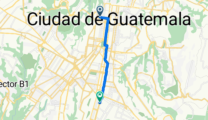
Ready for a ride out of Guatemala City? This 16 km route takes you from the heart of the capital down to the scenic town of Santa Catarina Pinula. Expect a nice mix of urban buzz and quieter backroads, with about 255 meters of climbing—enough to get your legs working, but nothing too wild.
You’ll roll mostly on paved roads (asphalt and concrete), with some stretches on peaceful side streets to give you a break from city traffic. Guatemala City sits high in the highlands at around 1,500 meters elevation, so you’ll breathe that crisp mountain air as you ride.
Santa Catarina Pinula is just southeast of the city, known for its local charm and lush surroundings—once a restful break from colonial Guatemala, now a growing suburb. Why not grab a coffee or snack in town before cycling back? With a mostly smooth surface and a blend of quiet and busier roads, it’s a great route whether you’re commuting, training, or just exploring. Happy pedaling!
Wspólnota
Najlepsi użytkownicy w tym regionie
Od naszej społeczności
Najlepsze trasy rowerowe z Gwatemala do Santa Catarina Pinula
Paiz Montúfar a Paiz Petapa
Trasa rowerowa w Gwatemala, Gwatemala, Gwatemala
- 4,2 km
- Dystans
- 21 m
- Przewyższenia
- 43 m
- Spadek
Guatemala
Trasa rowerowa w Gwatemala, Gwatemala, Gwatemala
- 21,6 km
- Dystans
- 516 m
- Przewyższenia
- 154 m
- Spadek
Route to Pan-American Highway 18, Ciudad de Guatemala
Trasa rowerowa w Gwatemala, Gwatemala, Gwatemala
- 8,7 km
- Dystans
- 84 m
- Przewyższenia
- 67 m
- Spadek
Ruta a 13 Calle 10, Ciudad de Guatemala
Trasa rowerowa w Gwatemala, Gwatemala, Gwatemala
- 8,1 km
- Dystans
- 1620 m
- Przewyższenia
- 1602 m
- Spadek
Ruta a Carril Auxiliar, Ciudad de Guatemala
Trasa rowerowa w Gwatemala, Gwatemala, Gwatemala
- 6,5 km
- Dystans
- 69 m
- Przewyższenia
- 67 m
- Spadek
Route to HGJ3+3FJ, Guatemala City
Trasa rowerowa w Gwatemala, Gwatemala, Gwatemala
- 7,3 km
- Dystans
- 63 m
- Przewyższenia
- 44 m
- Spadek
Route to HGJ3+3FJ, Guatemala City
Trasa rowerowa w Gwatemala, Gwatemala, Gwatemala
- 7,5 km
- Dystans
- 99 m
- Przewyższenia
- 92 m
- Spadek
Kaminaljuyu Z7 a Obelisco Z13
Trasa rowerowa w Gwatemala, Gwatemala, Gwatemala
- 6,6 km
- Dystans
- 17 m
- Przewyższenia
- 44 m
- Spadek
De casa a Las americas
Trasa rowerowa w Gwatemala, Gwatemala, Gwatemala
- 7,5 km
- Dystans
- 164 m
- Przewyższenia
- 163 m
- Spadek
casa de Kevin a las Américas
Trasa rowerowa w Gwatemala, Gwatemala, Gwatemala
- 8,6 km
- Dystans
- 20 m
- Przewyższenia
- 59 m
- Spadek
25 Avenida, Ciudad de Guatemala a Ciudad de Guatemala
Trasa rowerowa w Gwatemala, Gwatemala, Gwatemala
- 16,6 km
- Dystans
- 137 m
- Przewyższenia
- 103 m
- Spadek
Odkryj więcej tras
 Ruta a Carril Auxiliar, Ciudad de Guatemala
- Dystans
- 6,5 km
- Przewyższenia
- 69 m
- Spadek
- 67 m
- Lokalizacja
- Gwatemala, Gwatemala, Gwatemala
 Route to HGJ3+3FJ, Guatemala City
- Dystans
- 7,3 km
- Przewyższenia
- 63 m
- Spadek
- 44 m
- Lokalizacja
- Gwatemala, Gwatemala, Gwatemala
 Route to HGJ3+3FJ, Guatemala City
- Dystans
- 7,5 km
- Przewyższenia
- 99 m
- Spadek
- 92 m
- Lokalizacja
- Gwatemala, Gwatemala, Gwatemala
 Kaminaljuyu Z7 a Obelisco Z13
- Dystans
- 6,6 km
- Przewyższenia
- 17 m
- Spadek
- 44 m
- Lokalizacja
- Gwatemala, Gwatemala, Gwatemala
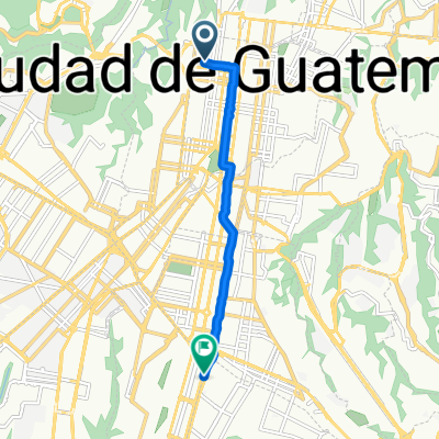 De casa a Las americas
- Dystans
- 7,5 km
- Przewyższenia
- 164 m
- Spadek
- 163 m
- Lokalizacja
- Gwatemala, Gwatemala, Gwatemala
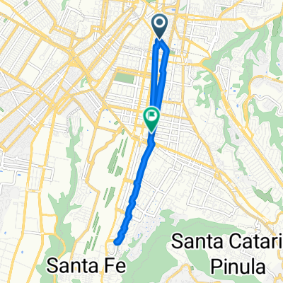 jojoj
jojoj- Dystans
- 13,8 km
- Przewyższenia
- 124 m
- Spadek
- 117 m
- Lokalizacja
- Gwatemala, Gwatemala, Gwatemala
 casa de Kevin a las Américas
- Dystans
- 8,6 km
- Przewyższenia
- 20 m
- Spadek
- 59 m
- Lokalizacja
- Gwatemala, Gwatemala, Gwatemala
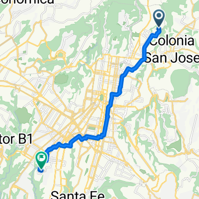 25 Avenida, Ciudad de Guatemala a Ciudad de Guatemala
- Dystans
- 16,6 km
- Przewyższenia
- 137 m
- Spadek
- 103 m
- Lokalizacja
- Gwatemala, Gwatemala, Gwatemala


