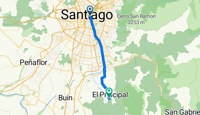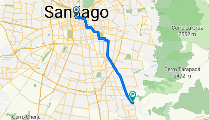

Jednodniowa wycieczka rowerowa z Santiago de Chile do Puente Alto
Dostosuj własną trasę na podstawie naszego szablonu lub zobacz, jak nasza społeczność najchętniej jeździ z Santiago de Chile do Puente Alto.
Szablon trasy
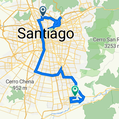
Z Santiago de Chile do Puente Alto
Looking for a scenic yet urban ride near Santiago? This 25 km route takes you from the heart of Chile’s vibrant capital down to Puente Alto, a bustling community at the southern edge of Greater Santiago.
You’ll roll mostly on smooth pavement, enjoying a mix of dedicated cycleways (about half the route!) and quiet streets—perfect if you want to dodge the heavy city traffic. The ride is gentle, with a mild ascent of about 158 meters, just enough to get your legs warmed up but not wear you out.
Start in historic Santiago, known for its colonial architecture, lively plazas, and world-famous street art. As you pedal south, catch views of the Andes if the weather’s clear, and feel the city shift into a more residential vibe. Finishing in Puente Alto, you’ll find a laid-back atmosphere and plenty of local spots to refuel. Total ride time is around 7 hours at a leisurely pace, so it's a great day out!
All in all, it’s a relaxing route for anyone looking to explore both urban culture and local neighborhoods on two wheels.
Wspólnota
Najlepsi użytkownicy w tym regionie
Od naszej społeczności
Najlepsze trasy rowerowe z Santiago de Chile do Puente Alto
San Juan de Pirque y Santa Rita de Pirque
Trasa rowerowa w Santiago de Chile, Region Metropolitalny, Chile
- 44,2 km
- Dystans
- 401 m
- Przewyższenia
- 261 m
- Spadek
Rorro a Pirque <3
Trasa rowerowa w Santiago de Chile, Region Metropolitalny, Chile
- 31,7 km
- Dystans
- 261 m
- Przewyższenia
- 60 m
- Spadek
A Ksa Raul
Trasa rowerowa w Santiago de Chile, Region Metropolitalny, Chile
- 24,6 km
- Dystans
- 271 m
- Przewyższenia
- 41 m
- Spadek
De Avenida Clotario Blest Riffo 5566, Pedro Aguirre Cerda a Avenida Concha y Toro 1477, Santiago
Trasa rowerowa w Santiago de Chile, Region Metropolitalny, Chile
- 19,8 km
- Dystans
- 189 m
- Przewyższenia
- 45 m
- Spadek
De Vicuña Mackenna 2481, Ñuñoa a Camino Al Volcán 109, Puente Alto
Trasa rowerowa w Santiago de Chile, Region Metropolitalny, Chile
- 30,4 km
- Dystans
- 732 m
- Przewyższenia
- 515 m
- Spadek
Ruta de descanso
Trasa rowerowa w Santiago de Chile, Region Metropolitalny, Chile
- 37,9 km
- Dystans
- 388 m
- Przewyższenia
- 268 m
- Spadek
regreso santa lucía
Trasa rowerowa w Santiago de Chile, Region Metropolitalny, Chile
- 18,4 km
- Dystans
- 170 m
- Przewyższenia
- 76 m
- Spadek
De Río Rímac 1236, Conchalí a Los Onas 01528, Puente Alto
Trasa rowerowa w Santiago de Chile, Region Metropolitalny, Chile
- 73,7 km
- Dystans
- 2156 m
- Przewyższenia
- 1981 m
- Spadek
Rodrigo de Araya 951, Ñuñoa a Teniente Bello, Puente Alto
Trasa rowerowa w Santiago de Chile, Region Metropolitalny, Chile
- 17,2 km
- Dystans
- 273 m
- Przewyższenia
- 131 m
- Spadek
Temístocles 5840, Pedro Aguirre Cerda a Club de Campo El Detective PDI, La Florida
Trasa rowerowa w Santiago de Chile, Region Metropolitalny, Chile
- 17,6 km
- Dystans
- 186 m
- Przewyższenia
- 4 m
- Spadek
De Obispo Orrego 689, Ñuñoa a Juan de Dios Malebrán 1950, Puente Alto
Trasa rowerowa w Santiago de Chile, Region Metropolitalny, Chile
- 17,8 km
- Dystans
- 248 m
- Przewyższenia
- 139 m
- Spadek
trabajo
Trasa rowerowa w Santiago de Chile, Region Metropolitalny, Chile
- 16 km
- Dystans
- 144 m
- Przewyższenia
- 9 m
- Spadek
Odkryj więcej tras
 De Vicuña Mackenna 2481, Ñuñoa a Camino Al Volcán 109, Puente Alto
- Dystans
- 30,4 km
- Przewyższenia
- 732 m
- Spadek
- 515 m
- Lokalizacja
- Santiago de Chile, Region Metropolitalny, Chile
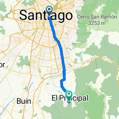 Ruta de descanso
- Dystans
- 37,9 km
- Przewyższenia
- 388 m
- Spadek
- 268 m
- Lokalizacja
- Santiago de Chile, Region Metropolitalny, Chile
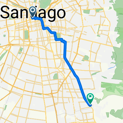 regreso santa lucía
- Dystans
- 18,4 km
- Przewyższenia
- 170 m
- Spadek
- 76 m
- Lokalizacja
- Santiago de Chile, Region Metropolitalny, Chile
 De Río Rímac 1236, Conchalí a Los Onas 01528, Puente Alto
- Dystans
- 73,7 km
- Przewyższenia
- 2156 m
- Spadek
- 1981 m
- Lokalizacja
- Santiago de Chile, Region Metropolitalny, Chile
 Rodrigo de Araya 951, Ñuñoa a Teniente Bello, Puente Alto
- Dystans
- 17,2 km
- Przewyższenia
- 273 m
- Spadek
- 131 m
- Lokalizacja
- Santiago de Chile, Region Metropolitalny, Chile
 Temístocles 5840, Pedro Aguirre Cerda a Club de Campo El Detective PDI, La Florida
- Dystans
- 17,6 km
- Przewyższenia
- 186 m
- Spadek
- 4 m
- Lokalizacja
- Santiago de Chile, Region Metropolitalny, Chile
 De Obispo Orrego 689, Ñuñoa a Juan de Dios Malebrán 1950, Puente Alto
- Dystans
- 17,8 km
- Przewyższenia
- 248 m
- Spadek
- 139 m
- Lokalizacja
- Santiago de Chile, Region Metropolitalny, Chile
 trabajo
- Dystans
- 16 km
- Przewyższenia
- 144 m
- Spadek
- 9 m
- Lokalizacja
- Santiago de Chile, Region Metropolitalny, Chile
Trasy z Santiago de Chile
Jednodniowa wycieczka rowerowa od
Z Santiago de Chile do Chicureo
Jednodniowa wycieczka rowerowa od
Z Santiago de Chile do La Pintana
Szybka przejażdżka rowerowa od
Z Santiago de Chile do Villa Presidente Frei
Szybka przejażdżka rowerowa od
Z Santiago de Chile do Lo Prado
Trasy do Puente Alto
Jednodniowa wycieczka rowerowa od
Z Villa Presidente Frei do Puente Alto
Szybka przejażdżka rowerowa od
Z San Bernardo do Puente Alto
Szybka przejażdżka rowerowa od
Z La Pintana do Puente Alto


