
Rowerowa z National City do La Presa
Dostosuj własną trasę na podstawie naszego szablonu lub zobacz, jak nasza społeczność najchętniej jeździ z National City do La Presa.
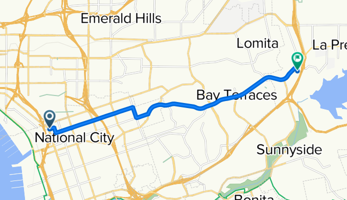
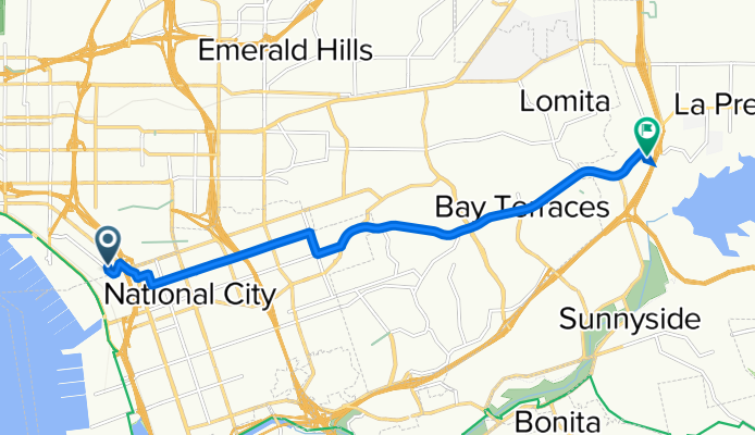
Szablon trasy
Z National City do La Presa

- 1 h 2 min
- Czas
- 17,4 km
- Dystans
- 246 m
- Przewyższenia
- 160 m
- Spadek
- 16,8 km/h
- Śr. Prędkość
- 146 m
- Maks. wysokość
Set out from National City and enjoy a scenic 17 km ride toward La Presa, a hidden gem just east of San Diego. National City is known for its historic buildings and diverse food scene—definitely grab a snack before you leave! The route itself is mostly on quiet roads, so you can focus on the ride and less on dodging traffic.
You'll gradually gain some elevation—almost 250 meters in total—so expect a few gentle climbs, but nothing too serious. The pavement is great most of the way, with the majority being smooth asphalt perfect for a road or hybrid bike (although a small portion is missing data, so keep your eyes peeled for surprises).
As you roll into La Presa, you’re greeted by views of nearby Sweetwater Reservoir and the foothills that give the neighborhood its name. It's a relaxed suburban spot with plenty of local parks, ideal for winding down after your ride. All in all, this route offers a mellow mix of urban and suburban cycling—perfect for a half-day adventure.
Wspólnota
Najlepsi użytkownicy w tym regionie

Od naszej społeczności
Najlepsze trasy rowerowe z National City do La Presa

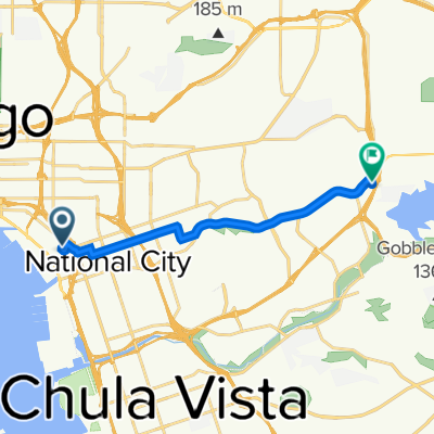
3730 Norman Scott Rd, San Diego to 8535 Paradise Valley Rd, Spring Valley
Trasa rowerowa w National City, Kalifornia, USA
- 11,2 km
- Dystans
- 171 m
- Przewyższenia
- 66 m
- Spadek

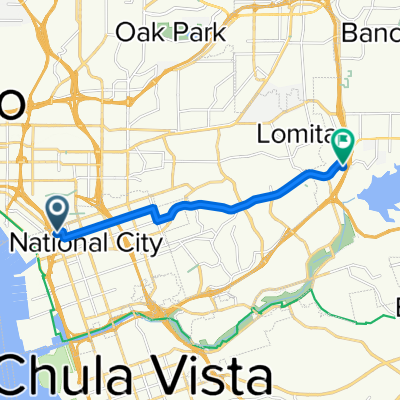
363–399 National City Blvd, National City to 8535 Paradise Valley Rd, Spring Valley
Trasa rowerowa w National City, Kalifornia, USA
- 10,3 km
- Dystans
- 184 m
- Przewyższenia
- 85 m
- Spadek

417 E Fourth St, National City to 8535 Paradise Valley Rd, Spring Valley
Trasa rowerowa w National City, Kalifornia, USA
- 9,7 km
- Dystans
- 146 m
- Przewyższenia
- 57 m
- Spadek

3379 S 32nd St, San Diego to 8535 Paradise Valley Rd, Spring Valley
Trasa rowerowa w National City, Kalifornia, USA
- 12,7 km
- Dystans
- 171 m
- Przewyższenia
- 72 m
- Spadek

Bike ride home
Trasa rowerowa w National City, Kalifornia, USA
- 11,1 km
- Dystans
- 178 m
- Przewyższenia
- 75 m
- Spadek

3716 Norman Scott Rd, San Diego to 8535 Paradise Valley Rd, Spring Valley
Trasa rowerowa w National City, Kalifornia, USA
- 11,1 km
- Dystans
- 177 m
- Przewyższenia
- 73 m
- Spadek

3375 Sturtevant St, San Diego to 8535 Paradise Valley Rd, Spring Valley
Trasa rowerowa w National City, Kalifornia, USA
- 11,6 km
- Dystans
- 171 m
- Przewyższenia
- 66 m
- Spadek

3730 Norman Scott Rd, San Diego to 8535 Paradise Valley Rd, Spring Valley
Trasa rowerowa w National City, Kalifornia, USA
- 11,1 km
- Dystans
- 165 m
- Przewyższenia
- 60 m
- Spadek

3801–3863 Main St, San Diego to 8535 Paradise Valley Rd, Spring Valley
Trasa rowerowa w National City, Kalifornia, USA
- 10,8 km
- Dystans
- 214 m
- Przewyższenia
- 114 m
- Spadek
15 E Second St, National City to 8535 Paradise Valley Rd, Spring Valley
Trasa rowerowa w National City, Kalifornia, USA
- 10,3 km
- Dystans
- 155 m
- Przewyższenia
- 57 m
- Spadek

3564–3586 Norman Scott Rd, San Diego to 8535 Paradise Valley Rd, Spring Valley
Trasa rowerowa w National City, Kalifornia, USA
- 11,1 km
- Dystans
- 169 m
- Przewyższenia
- 65 m
- Spadek
3730 Norman Scott Rd, San Diego to 8535 Paradise Valley Rd, Spring Valley
Trasa rowerowa w National City, Kalifornia, USA
- 11,2 km
- Dystans
- 172 m
- Przewyższenia
- 67 m
- Spadek
Odkryj więcej tras
 Bike ride home
- Dystans
- 11,1 km
- Przewyższenia
- 178 m
- Spadek
- 75 m
- Lokalizacja
- National City, Kalifornia, USA
 3716 Norman Scott Rd, San Diego to 8535 Paradise Valley Rd, Spring Valley
- Dystans
- 11,1 km
- Przewyższenia
- 177 m
- Spadek
- 73 m
- Lokalizacja
- National City, Kalifornia, USA
 3375 Sturtevant St, San Diego to 8535 Paradise Valley Rd, Spring Valley
- Dystans
- 11,6 km
- Przewyższenia
- 171 m
- Spadek
- 66 m
- Lokalizacja
- National City, Kalifornia, USA
 3730 Norman Scott Rd, San Diego to 8535 Paradise Valley Rd, Spring Valley
- Dystans
- 11,1 km
- Przewyższenia
- 165 m
- Spadek
- 60 m
- Lokalizacja
- National City, Kalifornia, USA
 3801–3863 Main St, San Diego to 8535 Paradise Valley Rd, Spring Valley
- Dystans
- 10,8 km
- Przewyższenia
- 214 m
- Spadek
- 114 m
- Lokalizacja
- National City, Kalifornia, USA
 15 E Second St, National City to 8535 Paradise Valley Rd, Spring Valley
- Dystans
- 10,3 km
- Przewyższenia
- 155 m
- Spadek
- 57 m
- Lokalizacja
- National City, Kalifornia, USA
 3564–3586 Norman Scott Rd, San Diego to 8535 Paradise Valley Rd, Spring Valley
- Dystans
- 11,1 km
- Przewyższenia
- 169 m
- Spadek
- 65 m
- Lokalizacja
- National City, Kalifornia, USA
 3730 Norman Scott Rd, San Diego to 8535 Paradise Valley Rd, Spring Valley
- Dystans
- 11,2 km
- Przewyższenia
- 172 m
- Spadek
- 67 m
- Lokalizacja
- National City, Kalifornia, USA