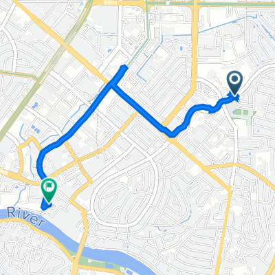


Kamagong, Pasig to Senator Neptali A. Gonzales Street 387, Mandaluyong
- 6,6 km
- 45 m
- 40 m
- Pasig City, National Capital Region, Filipiny

Dostosuj własną trasę na podstawie naszego szablonu lub zobacz, jak nasza społeczność najchętniej jeździ z Pasig City do Mandaluyong.
Szablon trasy

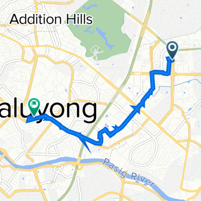
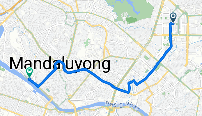
Get ready for a fun city ride from Pasig to Mandaluyong! This route covers about 6 km, mostly on paved roads (so your wheels will thank you), and it’s a great way to see two vibrant Metro Manila cities up close. You’ll start off in Pasig, a lively hub known for its booming business district and colorful markets. As you pedal along, expect a mix of quiet neighborhood streets and a few busier roads—so stay alert and enjoy the changing scenes!
There’s a bit of up-and-down, with a gentle ascent followed by a longer descent. Don’t worry, though—the route’s max elevation is pretty mild at under 90 meters, so it’s manageable for most riders. You’ll spin past a mix of concrete and asphalt, so the ride mostly feels smooth. Once you roll into Mandaluyong, you’ll find plenty of food stops and local life right near the city center. Perfect for a quick ride with urban flavor!
Wspólnota
Od naszej społeczności
Trasa rowerowa w Pasig City, National Capital Region, Filipiny
Trasa rowerowa w Pasig City, National Capital Region, Filipiny
Trasa rowerowa w Pasig City, National Capital Region, Filipiny
Trasa rowerowa w Pasig City, National Capital Region, Filipiny
Trasa rowerowa w Pasig City, National Capital Region, Filipiny
Trasa rowerowa w Pasig City, National Capital Region, Filipiny
Trasa rowerowa w Pasig City, National Capital Region, Filipiny
Trasa rowerowa w Pasig City, National Capital Region, Filipiny
Trasa rowerowa w Pasig City, National Capital Region, Filipiny
Trasa rowerowa w Pasig City, National Capital Region, Filipiny
Trasa rowerowa w Pasig City, National Capital Region, Filipiny
Trasa rowerowa w Pasig City, National Capital Region, Filipiny
Rowerowa od
Rowerowa od
Rowerowa od