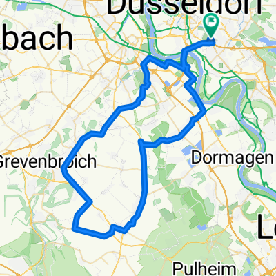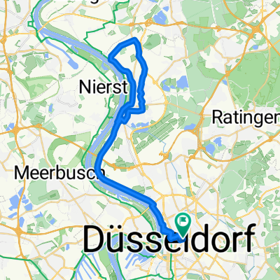
Düsseldorfer Tour (kurz)
- 38,2 km
- 74 m
- 71 m
- Düsseldorf, Nadrenia Północna-Westfalia, Niemcy
Trasa rowerowa rozpoczynająca się w Düsseldorf, Nadrenia Północna-Westfalia, Niemcy.
Przegląd
From Dusseldorf railway station to Cologne (Koln) railway station, via Zons, following the Rhine river.
utworzono 15 lat temu temu
Najważniejsze punkty trasy
At this point, you rejoin the Rhine-side route.
Hostelling International DJH Youth Hostel
Alternative to the described route: Turn Left here, towards the Rhine, through the flood control gate. Then turn Right along the riverside path. Can be seasonal depending on water levels.
Hostelling International, DJH Youth Hostel.
Rejoin the described route here, from the riverside track.
From this point, the route has been moved further from the river, than the described route, due to flooding. If the flood damaged area has been repaired - and you will be able to see if it is, or ask somebody at the campsite office - then continue along the described route: turn Left to the slipway, then Right along the riverside path.
The described route (in the hard copy book) closer to the Rhine, rejoins the Rhine route here.
Hostelling International: Koln-Riehl DJH
At this point the route deviates from the Rhine Route, to terminate at the Cologne railway station.
Kontynuuj z Bikemap
Chcesz przejechać trasę CYCLING THE RHINE: Route 09A lub dostosować ją do swojej wycieczki? Oto, co możesz zrobić z tą trasą na Bikemap:
3 dni bezpłatnej wersji próbnej lub jednorazowa opłata. Dowiedz się więcej o Bikemap Premium.
Odkryj więcej funkcji Premium.
Uzyskaj Bikemap PremiumOd naszej społeczności
Otwórz ją w aplikacji