

Сarpathian peaks. Route 2.
Trasa rowerowa rozpoczynająca się w Tatariv, Obwód iwanofrankiwski, Ukraina.
Przegląd
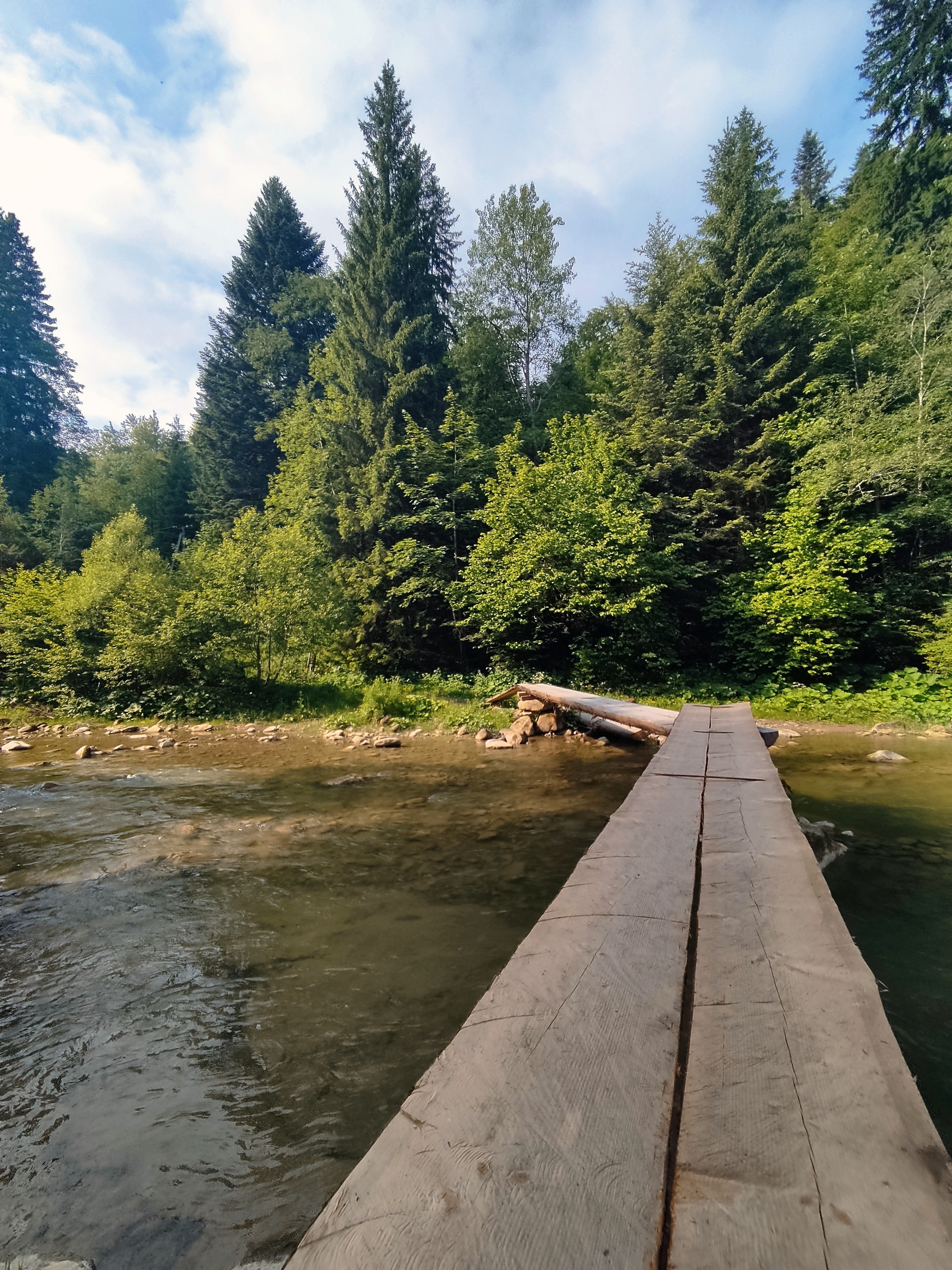
O tej trasie
· Wodospad Huk. Prawie co trzeci wodospad w Karpatach nazywa się Huk (może być przetłumaczone jako „głośny”). Nazwijmy zatem ten konkretny, położony w odległości kilku kilometrów od Mykulychyn Huk Zhenetskyi, ponieważ ten burzliwy wodospad o wysokości 15 m znajduje się nad rzeką Zhenets.
· Łukowy most kolejowy (wiadukt). Jeden z najstarszych i najdłuższych kamiennych mostów łukowych w Europie znajduje się w Vorokhta (130 m), a długość jednego z łuków wynosi 65 m. Ten słynny most kolejowy został zbudowany w 1894 roku i działał do 2000 roku. W Vorokhta znajduje się również jeden z najstarszych drewnianych kościołów z XVII wieku – kościół Narodzenia Najświętszej Maryi Panny.
· Przełęcz Jablunytskyi (przełęcz Tatarska) – 931 m n.p.m. Tutaj odwiedzisz targ pamiątkarski znany nie tylko w Karpatach, ale w całej Ukrainie. W Tatariv zatrzymamy się przy pomniku z okresu I wojny światowej.
- -:--
- Czas
- 60,1 km
- Dystans
- 621 m
- Przewyższenia
- 621 m
- Spadek
- ---
- Śr. Prędkość
- ---
- Maks. wysokość

Najważniejsze punkty trasy
Punkty zainteresowania na trasie

Interesujące miejsce po 10,4 km
Waterfall Huk (may be translated as “loud”) is turbulent 15m-high waterfall situated on the Zhenets river at an altitude 900 m above sea level. Due to constant moisture and breezes from waterfall, vegetation here is very diverse.

Interesujące miejsce po 24,6 km
• Railway arched bridge (viaduct). One of the oldest and the longest stone arched bridges of Europe is situated in Vorokhta (130 m) and the length of one of the arches is 65 m. This famous railway bridge was built in 1894 and operated till 2000.

Interesujące miejsce po 37,5 km
Yablonitsky Pass is a pass through the Carpathian Mountains in Ukraine, located in the south-eastern part of Ivano-Frankivsk Oblast. It is one of several passes connecting Transcarpathia with the rest of the country. The headwaters of the Prut River are in the northern end of this pass, and its southern end is part of the Tisza River valley. Here you can visit the souvenir market known not only in the Carpathians but in the whole Ukraine.
Kontynuuj z Bikemap
Użyj, edytuj lub pobierz tę trasę rowerową
Chcesz przejechać trasę Сarpathian peaks. Route 2. lub dostosować ją do swojej wycieczki? Oto, co możesz zrobić z tą trasą na Bikemap:
Darmowe funkcje
- Zapisz tę trasę jako ulubioną lub w kolekcji
- Skopiuj i zaplanuj swoją wersję tej trasy
- Synchronizuj swoją trasę z Garminem lub Wahoo
Funkcje Premium
3 dni bezpłatnej wersji próbnej lub jednorazowa opłata. Dowiedz się więcej o Bikemap Premium.
- Nawiguj po tej trasie na iOS i Androidzie
- Eksportuj plik GPX / KML tej trasy
- Stwórz swój własny wydruk (wypróbuj za darmo)
- Pobierz tę trasę do nawigacji offline
Odkryj więcej funkcji Premium.
Uzyskaj Bikemap PremiumOd naszej społeczności
Tatariv: Inne popularne trasy rozpoczynające się tutaj
 Mykulychyn- Yaremcha
- Dystans
- 64 km
- Przewyższenia
- 1522 m
- Spadek
- 1571 m
- Lokalizacja
- Tatariv, Obwód iwanofrankiwski, Ukraina
 Carpathian Peaks. Route 1.
- Dystans
- 26,4 km
- Przewyższenia
- 368 m
- Spadek
- 369 m
- Lokalizacja
- Tatariv, Obwód iwanofrankiwski, Ukraina
 Carpathian peaks. Mt.Lisniv - Mykulychyn
- Dystans
- 41,7 km
- Przewyższenia
- 855 m
- Spadek
- 1501 m
- Lokalizacja
- Tatariv, Obwód iwanofrankiwski, Ukraina
 Сarpathian peaks. Route 2.
- Dystans
- 60,1 km
- Przewyższenia
- 621 m
- Spadek
- 621 m
- Lokalizacja
- Tatariv, Obwód iwanofrankiwski, Ukraina
 Микуличин-Явірник-Яремче
- Dystans
- 19,5 km
- Przewyższenia
- 958 m
- Spadek
- 1031 m
- Lokalizacja
- Tatariv, Obwód iwanofrankiwski, Ukraina
 Микуличин-Манява
- Dystans
- 57,9 km
- Przewyższenia
- 1675 m
- Spadek
- 1762 m
- Lokalizacja
- Tatariv, Obwód iwanofrankiwski, Ukraina
 Татарів - Буковель - Бистриця - Надвірна
- Dystans
- 74,3 km
- Przewyższenia
- 1339 m
- Spadek
- 1590 m
- Lokalizacja
- Tatariv, Obwód iwanofrankiwski, Ukraina
 Татарів - Микуличин - Космач - Шепіт - Білоберізка
- Dystans
- 86,2 km
- Przewyższenia
- 1640 m
- Spadek
- 1869 m
- Lokalizacja
- Tatariv, Obwód iwanofrankiwski, Ukraina
Otwórz ją w aplikacji