
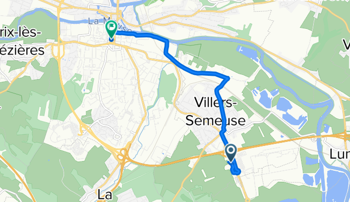
De Le Pré des Terres 64, Villers-Semeuse à Avenue du 91ÉME R.I. 7, Charleville-Mézières
Trasa rowerowa rozpoczynająca się w Villers-Semeuse, Grand Est, Francja.
Przegląd
O tej trasie
- 15 min
- Czas
- 5,5 km
- Dystans
- 22 m
- Przewyższenia
- 25 m
- Spadek
- 22,3 km/h
- Śr. Prędkość
- 169 m
- Maks. wysokość

Jakość trasy
Typy dróg i nawierzchnie na trasie
Typy dróg
Spokojna droga
3,1 km
(56 %)
Droga rowerowa
0,9 km
(16 %)
Powierzchnie
Utwardzona
3,8 km
(68 %)
Asfalt
3,8 km
(68 %)
Niezdefiniowany
1,8 km
(32 %)
Kontynuuj z Bikemap
Użyj, edytuj lub pobierz tę trasę rowerową
Chcesz przejechać trasę De Le Pré des Terres 64, Villers-Semeuse à Avenue du 91ÉME R.I. 7, Charleville-Mézières lub dostosować ją do swojej wycieczki? Oto, co możesz zrobić z tą trasą na Bikemap:
Darmowe funkcje
- Zapisz tę trasę jako ulubioną lub w kolekcji
- Skopiuj i zaplanuj swoją wersję tej trasy
- Synchronizuj swoją trasę z Garminem lub Wahoo
Funkcje Premium
3 dni bezpłatnej wersji próbnej lub jednorazowa opłata. Dowiedz się więcej o Bikemap Premium.
- Nawiguj po tej trasie na iOS i Androidzie
- Eksportuj plik GPX / KML tej trasy
- Stwórz swój własny wydruk (wypróbuj za darmo)
- Pobierz tę trasę do nawigacji offline
Odkryj więcej funkcji Premium.
Uzyskaj Bikemap PremiumOd naszej społeczności
Villers-Semeuse: Inne popularne trasy rozpoczynające się tutaj
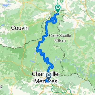 De Rue Ambroise Croizat Bis à Rue de la Fausse Porte
- Dystans
- 85,8 km
- Przewyższenia
- 1003 m
- Spadek
- 1042 m
- Lokalizacja
- Villers-Semeuse, Grand Est, Francja
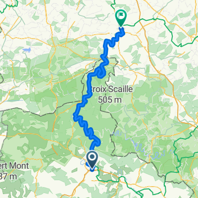 Rue Louise Michel, Villers-Semeuse nach Rue des Orfèvres, Dinant
- Dystans
- 118,3 km
- Przewyższenia
- 1401 m
- Spadek
- 1477 m
- Lokalizacja
- Villers-Semeuse, Grand Est, Francja
 Recovered Route
- Dystans
- 35,4 km
- Przewyższenia
- 100 m
- Spadek
- 140 m
- Lokalizacja
- Villers-Semeuse, Grand Est, Francja
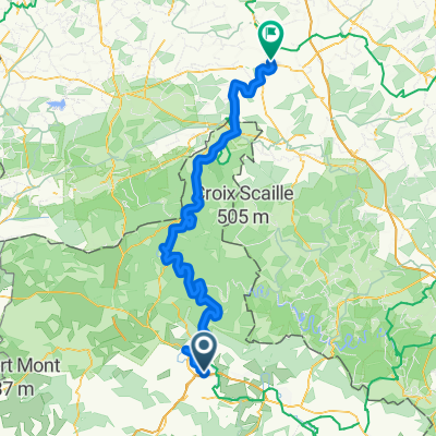 Rue Louise Michel, Villers-Semeuse nach Rempart d'Albeau, Dinant
- Dystans
- 117,2 km
- Przewyższenia
- 373 m
- Spadek
- 450 m
- Lokalizacja
- Villers-Semeuse, Grand Est, Francja
 Sept 2019 Day 3
- Dystans
- 93 km
- Przewyższenia
- 737 m
- Spadek
- 806 m
- Lokalizacja
- Villers-Semeuse, Grand Est, Francja
 2019 Lille to Reims Day 3
- Dystans
- 94,5 km
- Przewyższenia
- 423 m
- Spadek
- 494 m
- Lokalizacja
- Villers-Semeuse, Grand Est, Francja
 110–158 Rue Ambroise Croizat, Charleville-Mézières à Route de Pont-à-Bar, Hannogne-Saint-Martin
- Dystans
- 15,7 km
- Przewyższenia
- 32 m
- Spadek
- 10 m
- Lokalizacja
- Villers-Semeuse, Grand Est, Francja
 117 Rue Victor Hugo, Charleville-Mézières à 1 Rue de l'École, Cliron
- Dystans
- 13,5 km
- Przewyższenia
- 87 m
- Spadek
- 78 m
- Lokalizacja
- Villers-Semeuse, Grand Est, Francja
Otwórz ją w aplikacji