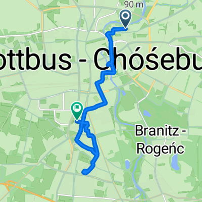
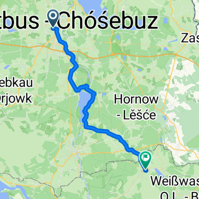
- 26,2 km
- 109 m
- 107 m
- Chociebuż, Brandenburgia, Niemcy
Skater Strecke Cottbus Gallinchen Spremberg hin und zurück!
Trasa rowerowa rozpoczynająca się w Chociebuż, Brandenburgia, Niemcy.
Przegląd
O tej trasie
dla początkujących rekomendowane do zapory i z powrotem!!
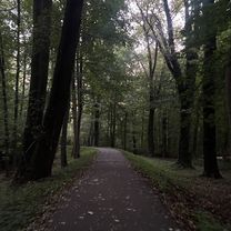
Traszka Skater Start Cottbus Gallinchen prowadzi przez zaporę Spremberg zdjęcie powyżej, Bühlow Cantdorf, Spremberg.
Kąpać się w zbiorniku,
możliwości odpoczynku i oferty rekreacyjne przy zbiorniku.
Volkers Einkehr na parkingu przy plaży północnej.
Restauracja Spree Camp Hotel Leśna Chata na plaży północnej.
Idylla plażowa miejsce odpoczynku dla rowerzystów i rolkarzy naprzeciwko Prima Abenteuer Park linowy.
Pole minigolfa Park rozrywki Klein Döbbern miejsce odpoczynku.
W Sprembergu punkt docelowy Georgien Strasse ścieżka rowerowa kończy się tutaj na moście nad Sprewą, możliwości wypoczynku w dwóch kawiarniach na Lange Straße około 200 metrów od punktu docelowego!
- -:--
- Czas
- 18 km
- Dystans
- 151 m
- Przewyższenia
- 135 m
- Spadek
- ---
- Śr. Prędkość
- 119 m
- Maks. wysokość
utworzono 3 lata temu temu
Zdjęcia trasy
Jakość trasy
Typy dróg i nawierzchnie na trasie
Typy dróg
Droga rowerowa
6,5 km
(36 %)
Ścieżka
5,9 km
(33 %)
Powierzchnie
Utwardzona
17,4 km
(97 %)
Asfalt
15,3 km
(85 %)
Nawierzchnia (nieokreślona)
2,2 km
(12 %)
Niezdefiniowany
0,5 km
(3 %)
Najważniejsze punkty trasy
Punkty zainteresowania na trasie
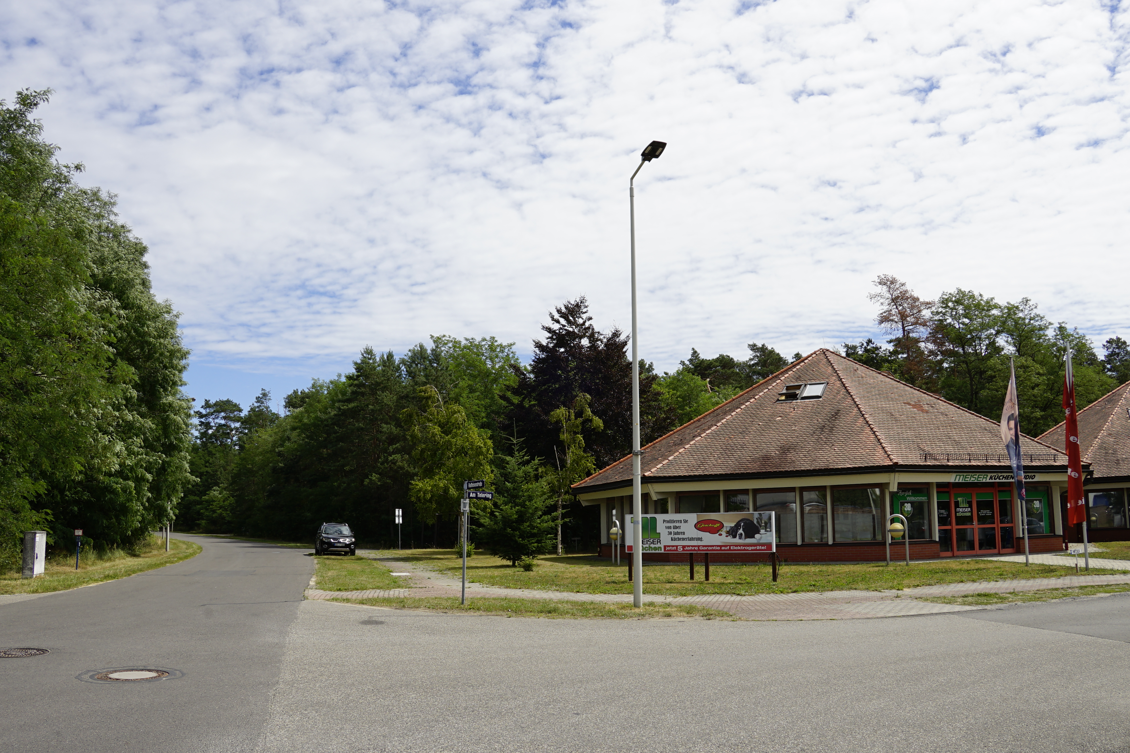
Interesujące miejsce po 0 km
Hier starten wir auf einer verkehrsberuhigter strasse Am Telering Küchenstudio ,PKW auch hier!

Interesujące miejsce po 6,5 km
Stausee Staumauer Wehr

Interesujące miejsce po 7,1 km
Blick über den Strand auf die Stausedamm

Interesujące miejsce po 7,6 km
Stausee Spreecamp Strand

Interesujące miejsce po 8,3 km
Hier Rastmöglichkeit Minigolfanlage

Interesujące miejsce po 15,6 km
Wilhelmsthalel Brücke bei Cantsdorf hier frührt unsre Stakter Strcke darüber!

Interesujące miejsce po 15,6 km
Rastmöglichkeit auf der Wilhelmthaler Brücke hier

Interesujące miejsce po 17,9 km
Blick vom Radweg auf die Spremberger alt Stadt

Interesujące miejsce po 17,9 km
Hier Wendepunkt auf dem Radwanderweg
Kontynuuj z Bikemap
Użyj, edytuj lub pobierz tę trasę rowerową
Chcesz przejechać trasę Skater Strecke Cottbus Gallinchen Spremberg hin und zurück! lub dostosować ją do swojej wycieczki? Oto, co możesz zrobić z tą trasą na Bikemap:
Darmowe funkcje
- Zapisz tę trasę jako ulubioną lub w kolekcji
- Skopiuj i zaplanuj swoją wersję tej trasy
- Synchronizuj swoją trasę z Garminem lub Wahoo
Funkcje Premium
3 dni bezpłatnej wersji próbnej lub jednorazowa opłata. Dowiedz się więcej o Bikemap Premium.
- Nawiguj po tej trasie na iOS i Androidzie
- Eksportuj plik GPX / KML tej trasy
- Stwórz swój własny wydruk (wypróbuj za darmo)
- Pobierz tę trasę do nawigacji offline
Odkryj więcej funkcji Premium.
Uzyskaj Bikemap PremiumOd naszej społeczności
Chociebuż: Inne popularne trasy rozpoczynające się tutaj
- Vom-Stein-Straße, Cottbus nach Thiemstraße, Cottbus
- Route in Cottbus 11.10.2025
- 49,2 km
- 112 m
- 117 m
- Chociebuż, Brandenburgia, Niemcy
- Von Cottbus bis Plauen
- 289,7 km
- 2125 m
- 1824 m
- Chociebuż, Brandenburgia, Niemcy
- Spreewald
- 61,6 km
- 51 m
- 55 m
- Chociebuż, Brandenburgia, Niemcy
- Aufgezeichnet am 28. Sept. 2025, 16:52
- 16,8 km
- 26 m
- 34 m
- Chociebuż, Brandenburgia, Niemcy
- Schlachthofstraße, Cottbus nach Thiemstraße, Cottbus
- 9,5 km
- 18 m
- 9 m
- Chociebuż, Brandenburgia, Niemcy
- Cottbus Schleife
- 37,8 km
- 230 m
- 178 m
- Chociebuż, Brandenburgia, Niemcy
- BRT2013-SO: Ludwig-Heichardt-Marathon - Marathon des Radsportclub Cottbus e.V. - Veloteam beim BRT2013 in Cottbus - 214 km Strecke
- 203,6 km
- 255 m
- 255 m
- Chociebuż, Brandenburgia, Niemcy
Otwórz ją w aplikacji


