

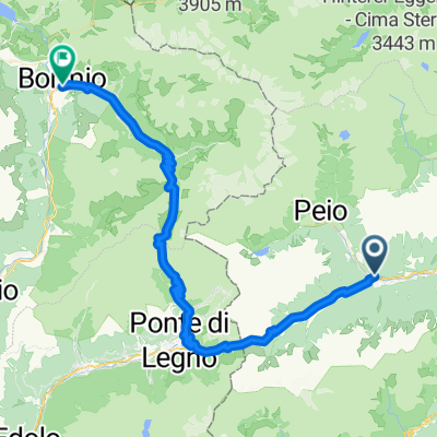
Alpine Gravel - Lago di Celentino
Trasa rowerowa rozpoczynająca się w Ossana, Trentino-Alto Adige, Italy.
Przegląd
O tej trasie
First a steep ascent, then an excellent climb on a well-maintained forest road to Malga Campo (Strudel!!!). To get to Lake Celentino technical flat section on forest trail with possible portage. Breathtaking Lago Celentino viewpoint and then technical trail in beautiful alpine surroundings to the hut. From here onwards rough or very rough dirt road downhill with considerable gradients. Ascent from Malga Stabli on an excellent forest road to a private alpine hut. From there, descend first on rough forest road, then very smooth and fast to reach the tarmac road. Once at the bottom of the valley, continue along the Val di Sole cycle path to Ossana.
Water supplies possible along the entire route, Malga Campo and Malga Satabli with gastronomic offerings.
We recommend a minimum tyre width of 45 mm, tubeless.
- -:--
- Czas
- 41,5 km
- Dystans
- 1656 m
- Przewyższenia
- 1645 m
- Spadek
- ---
- Śr. Prędkość
- 2136 m
- Maks. wysokość

Zdjęcia trasy


Jakość trasy
Typy dróg i nawierzchnie na trasie
Typy dróg
Droga leśna
20,8 km
(50 %)
Ścieżka
9 km
(22 %)
Powierzchnie
Utwardzona
8,7 km
(21 %)
Nieutwardzona
21,3 km
(51 %)
Asfalt
8,3 km
(20 %)
Luźny żwir
7,5 km
(18 %)
Kontynuuj z Bikemap
Użyj, edytuj lub pobierz tę trasę rowerową
Chcesz przejechać trasę Alpine Gravel - Lago di Celentino lub dostosować ją do swojej wycieczki? Oto, co możesz zrobić z tą trasą na Bikemap:
Darmowe funkcje
- Zapisz tę trasę jako ulubioną lub w kolekcji
- Skopiuj i zaplanuj swoją wersję tej trasy
- Synchronizuj swoją trasę z Garminem lub Wahoo
Funkcje Premium
3 dni bezpłatnej wersji próbnej lub jednorazowa opłata. Dowiedz się więcej o Bikemap Premium.
- Nawiguj po tej trasie na iOS i Androidzie
- Eksportuj plik GPX / KML tej trasy
- Stwórz swój własny wydruk (wypróbuj za darmo)
- Pobierz tę trasę do nawigacji offline
Odkryj więcej funkcji Premium.
Uzyskaj Bikemap PremiumOd naszej społeczności
Ossana: Inne popularne trasy rozpoczynające się tutaj
 Val di Sole Ossana - Caldes
- Dystans
- 41,7 km
- Przewyższenia
- 385 m
- Spadek
- 389 m
- Lokalizacja
- Ossana, Trentino-Alto Adige, Italy
 Dag 3
Dag 3- Dystans
- 70,5 km
- Przewyższenia
- 2007 m
- Spadek
- 2330 m
- Lokalizacja
- Ossana, Trentino-Alto Adige, Italy
 Val di Sole - Ossana Caldes
- Dystans
- 42,8 km
- Przewyższenia
- 387 m
- Spadek
- 388 m
- Lokalizacja
- Ossana, Trentino-Alto Adige, Italy
 Abzweig Osanna-Begflanke-Merilleva-Madonna
- Dystans
- 39,5 km
- Przewyższenia
- 2434 m
- Spadek
- 1875 m
- Lokalizacja
- Ossana, Trentino-Alto Adige, Italy
 Pejo - La strada militare
- Dystans
- 38,3 km
- Przewyższenia
- 1037 m
- Spadek
- 1038 m
- Lokalizacja
- Ossana, Trentino-Alto Adige, Italy
 Ossana- Caldes 08.08.2023
- Dystans
- 41,4 km
- Przewyższenia
- 639 m
- Spadek
- 634 m
- Lokalizacja
- Ossana, Trentino-Alto Adige, Italy
 2315 Ossana - Val Rendena 53
- Dystans
- 53,1 km
- Przewyższenia
- 1079 m
- Spadek
- 1453 m
- Lokalizacja
- Ossana, Trentino-Alto Adige, Italy
 Ossana - Tonalle - Gavia - Bormio
- Dystans
- 67,2 km
- Przewyższenia
- 2268 m
- Spadek
- 2024 m
- Lokalizacja
- Ossana, Trentino-Alto Adige, Italy
Otwórz ją w aplikacji