

Mallorca - Alcudia
Alcudia - Scenic tour towards Lluch
Trasa rowerowa rozpoczynająca się w Port d'Alcúdia, Comunitat Autònoma de les Illes Balears, Hiszpania.
Przegląd
O tej trasie
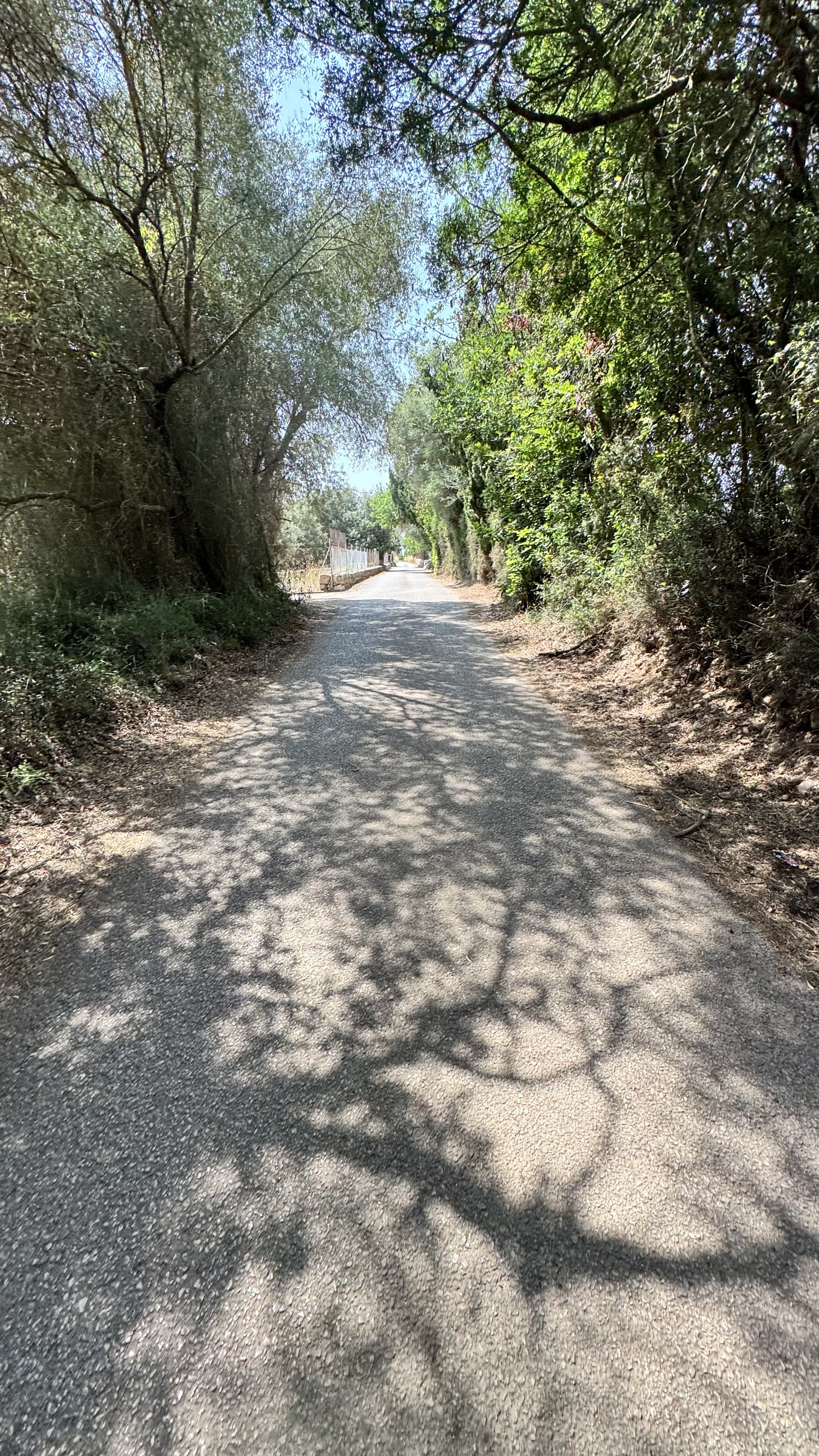
Ta górska trasa, rozpoczynająca się w Alcudii, prowadzi do pięknego Lluch i jest odpowiednia zarówno dla nowych, jak i bardziej doświadczonych rowerzystów. Asfaltowa droga przez całą trasę.
Trasa prowadzi małymi drogami do Sa Pablo i Búger, a następnie dalej w kierunku Campanent – ta część trasy może być trochę trudna do znalezienia. Przejedź obok placu przy kościele i skręć w lewo na znaku „Coves”, gdzie znajdziesz drewniany znak w kierunku Selva. Ważne jest, abyś kontynuował jazdę w kierunku Selva i uważnie obserwował kierunek.
Z Selvy trasa prowadzi pod górę w kierunku stacji benzynowej, która pełni funkcję punktu spotkań, gdzie można również kupić prowiant. Zjazd do Pollenca jest oszałamiająco piękny – i bardzo długi.
Jest wiele możliwości na objazdy w kierunku wybrzeża lub na wydłużenie trasy do Port de Pollenca, jeśli chcesz dodać kolejne 15 km do trasy.
Enjoyuj jazdę!
- -:--
- Czas
- 69,8 km
- Dystans
- 735 m
- Przewyższenia
- 735 m
- Spadek
- ---
- Śr. Prędkość
- ---
- Maks. wysokość

Część

5 etapów
Zdjęcia trasy


Najważniejsze punkty trasy
Punkty zainteresowania na trasie

Interesujące miejsce po 35,7 km
Gas station (for refuelling drinks/carbo). A small cafe nearby
Kontynuuj z Bikemap
Użyj, edytuj lub pobierz tę trasę rowerową
Chcesz przejechać trasę Alcudia - Scenic tour towards Lluch lub dostosować ją do swojej wycieczki? Oto, co możesz zrobić z tą trasą na Bikemap:
Darmowe funkcje
- Zapisz tę trasę jako ulubioną lub w kolekcji
- Skopiuj i zaplanuj swoją wersję tej trasy
- Synchronizuj swoją trasę z Garminem lub Wahoo
Funkcje Premium
3 dni bezpłatnej wersji próbnej lub jednorazowa opłata. Dowiedz się więcej o Bikemap Premium.
- Nawiguj po tej trasie na iOS i Androidzie
- Eksportuj plik GPX / KML tej trasy
- Stwórz swój własny wydruk (wypróbuj za darmo)
- Pobierz tę trasę do nawigacji offline
Odkryj więcej funkcji Premium.
Uzyskaj Bikemap PremiumOd naszej społeczności
Port d'Alcúdia: Inne popularne trasy rozpoczynające się tutaj
 Port d`ALcudia-Selva-Sencelles-Petra-P.d`Alcudia
- Dystans
- 120 km
- Przewyższenia
- 759 m
- Spadek
- 759 m
- Lokalizacja
- Port d'Alcúdia, Comunitat Autònoma de les Illes Balears, Hiszpania
 Platja de Muro - Lluc - La Calobra
- Dystans
- 90,4 km
- Przewyższenia
- 1129 m
- Spadek
- 1122 m
- Lokalizacja
- Port d'Alcúdia, Comunitat Autònoma de les Illes Balears, Hiszpania
 Coll De Sabatalla loop
- Dystans
- 68,7 km
- Przewyższenia
- 698 m
- Spadek
- 702 m
- Lokalizacja
- Port d'Alcúdia, Comunitat Autònoma de les Illes Balears, Hiszpania
 Carrer Vidalba, Alcúdia to Carrer Vidalba, Alcúdia
- Dystans
- 42,6 km
- Przewyższenia
- 115 m
- Spadek
- 122 m
- Lokalizacja
- Port d'Alcúdia, Comunitat Autònoma de les Illes Balears, Hiszpania
 M-Muro Loop 53K
- Dystans
- 52,7 km
- Przewyższenia
- 402 m
- Spadek
- 401 m
- Lokalizacja
- Port d'Alcúdia, Comunitat Autònoma de les Illes Balears, Hiszpania
 MALLORCA | Sa Calobra
- Dystans
- 117,1 km
- Przewyższenia
- 1600 m
- Spadek
- 1599 m
- Lokalizacja
- Port d'Alcúdia, Comunitat Autònoma de les Illes Balears, Hiszpania
 Pollença und Coll de l'Era / Coll de sa Batalla - Einrollen in die Berge
- Dystans
- 94,3 km
- Przewyższenia
- 1260 m
- Spadek
- 1249 m
- Lokalizacja
- Port d'Alcúdia, Comunitat Autònoma de les Illes Balears, Hiszpania
 Port Alcudia - Llubi - Port Alcudia
- Dystans
- 55,1 km
- Przewyższenia
- 258 m
- Spadek
- 257 m
- Lokalizacja
- Port d'Alcúdia, Comunitat Autònoma de les Illes Balears, Hiszpania
Otwórz ją w aplikacji