

Mallorca - Alcudia
Alcudia - Puig Mayor (kongeetapen)
Trasa rowerowa rozpoczynająca się w Port d'Alcúdia, Comunitat Autònoma de les Illes Balears, Hiszpania.
Przegląd
O tej trasie
Starting in Alcudia the challenge of this route is the climb from Soller towards Puig Major.
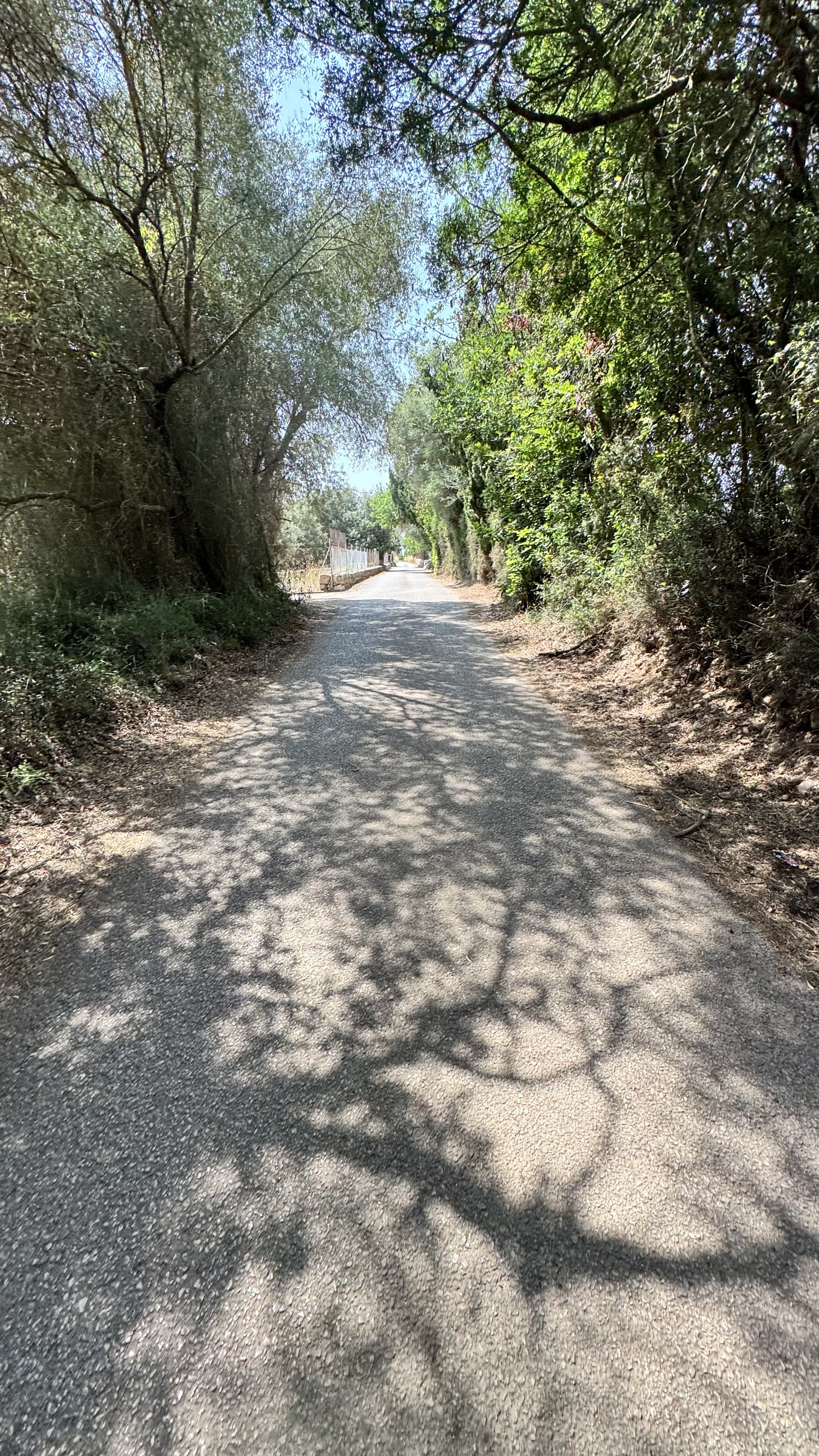
You start out following the minor roads leading south through beautiful landscape. After approximately 55 km the route takes you over the first mountain which has an ascent of 500 metres. Cars are lead through a tunnel, and therefore the road is scarcely trafficked. Once you arrive in Soller, you can buy provisions or have lunch at one of the restaurants in the town square. Please note that only bakeries are open on Sundays; all other shops are closed.
From Soller the ascent continues over the next 14 kilometres with a tough gradient of 6 %. Prearrange to meet at the photo spot before the first tunnel.
From here you follow the mountain ridge towards Lluch and can enjoy the long blissful descent to Pollenca.
Water/provisions:
Bring two water bottles and use one en route to Bunyola and one during the following ascent.
Buy water in Soller, so you have one bottle for the climb and one for the final descent.
Bring an energy bar or have lunch in Soller.
Enjoy the ride!
- 10 h 1 min
- Czas
- 136,6 km
- Dystans
- 3401 m
- Przewyższenia
- 3401 m
- Spadek
- 13,6 km/h
- Śr. Prędkość
- 916 m
- Maks. wysokość

Część

5 etapów
Jakość trasy
Typy dróg i nawierzchnie na trasie
Typy dróg
Droga
42,3 km
(31 %)
Spokojna droga
21,9 km
(16 %)
Powierzchnie
Utwardzona
128,4 km
(94 %)
Nieutwardzona
1,4 km
(1 %)
Asfalt
127 km
(93 %)
Nawierzchnia (nieokreślona)
1,4 km
(1 %)
Kontynuuj z Bikemap
Użyj, edytuj lub pobierz tę trasę rowerową
Chcesz przejechać trasę Alcudia - Puig Mayor (kongeetapen) lub dostosować ją do swojej wycieczki? Oto, co możesz zrobić z tą trasą na Bikemap:
Darmowe funkcje
- Zapisz tę trasę jako ulubioną lub w kolekcji
- Skopiuj i zaplanuj swoją wersję tej trasy
- Podziel trasę na etapy, aby utworzyć kilkudniową wycieczkę
- Synchronizuj swoją trasę z Garminem lub Wahoo
Funkcje Premium
3 dni bezpłatnej wersji próbnej lub jednorazowa opłata. Dowiedz się więcej o Bikemap Premium.
- Nawiguj po tej trasie na iOS i Androidzie
- Eksportuj plik GPX / KML tej trasy
- Stwórz swój własny wydruk (wypróbuj za darmo)
- Pobierz tę trasę do nawigacji offline
Odkryj więcej funkcji Premium.
Uzyskaj Bikemap PremiumOd naszej społeczności
Port d'Alcúdia: Inne popularne trasy rozpoczynające się tutaj
 Platja de Muro - Lluc - La Calobra
- Dystans
- 90,4 km
- Przewyższenia
- 1129 m
- Spadek
- 1122 m
- Lokalizacja
- Port d'Alcúdia, Comunitat Autònoma de les Illes Balears, Hiszpania
 Malle 2 Victoria-Alcudia
- Dystans
- 30,2 km
- Przewyższenia
- 317 m
- Spadek
- 319 m
- Lokalizacja
- Port d'Alcúdia, Comunitat Autònoma de les Illes Balears, Hiszpania
 Alcúdia-Sa Pobla-Llubi-Sineu-Santa magalida-Can Picafort
- Dystans
- 51,7 km
- Przewyższenia
- 238 m
- Spadek
- 233 m
- Lokalizacja
- Port d'Alcúdia, Comunitat Autònoma de les Illes Balears, Hiszpania
 47km 220hm naar kust
- Dystans
- 46,9 km
- Przewyższenia
- 269 m
- Spadek
- 266 m
- Lokalizacja
- Port d'Alcúdia, Comunitat Autònoma de les Illes Balears, Hiszpania
 MALLORCA | Sa Calobra
- Dystans
- 117,1 km
- Przewyższenia
- 1600 m
- Spadek
- 1599 m
- Lokalizacja
- Port d'Alcúdia, Comunitat Autònoma de les Illes Balears, Hiszpania
 Coll De Sabatalla loop
- Dystans
- 68,7 km
- Przewyższenia
- 698 m
- Spadek
- 702 m
- Lokalizacja
- Port d'Alcúdia, Comunitat Autònoma de les Illes Balears, Hiszpania
 Carrer Vidalba, Alcúdia to Carrer Vidalba, Alcúdia
- Dystans
- 42,6 km
- Przewyższenia
- 115 m
- Spadek
- 122 m
- Lokalizacja
- Port d'Alcúdia, Comunitat Autònoma de les Illes Balears, Hiszpania
 Port Alcudia - Llubi - Port Alcudia
- Dystans
- 55,1 km
- Przewyższenia
- 258 m
- Spadek
- 257 m
- Lokalizacja
- Port d'Alcúdia, Comunitat Autònoma de les Illes Balears, Hiszpania
Otwórz ją w aplikacji