- 35,1 km
- 400 m
- 435 m
- Queensferry, Szkocja, Zjednoczone Królestwo Wielkiej Brytanii
St Margarets Way-South Queensferry to Burntisland
Trasa rowerowa rozpoczynająca się w Queensferry, Szkocja, Zjednoczone Królestwo Wielkiej Brytanii.
Przegląd
O tej trasie
Przechodząc przez most drogowy, setki stóp nad Firth na specjalnej ścieżce dla rowerów/pieszych, szlak wchodzi w North Queensferry, gdzie, bezpośrednio pod słynnym mostem kolejowym, dołącza do Fife Coastal Path. Ta ścieżka podąża wzdłuż wybrzeża, którego dominują wielkie klify magmy, przypomnienia o wulkanicznej przeszłości Szkocji, do Dalgety Bay. Wspaniałe widoki na słynne mosty Forth.
Trzymając się oznaczonego Fife Coastal Path i Krajowej Trasy Rowerowej, szlak kontynuuje wzdłuż cichych dróg i leśnych ścieżek, a słynna wyspa Inchcolm staje się widoczna. Następnie, mijając kościół św. Brygidy, wchodzi do urokliwej wioski rybackiej Aberdour, dominowanej przez zamek, i schodzi do portu. Następnie przez Fife Coastal Path wokół zatok i przez leśne obszary do ruchliwego miasta Burnt Island. Płasko i łatwe do pokonania. Wiele sklepów i pubów oraz oznakowanych informacji wzdłuż trasy.
To jest 2. odcinek St Margaret’s Way, wielkiej 100 km pielgrzymki z Edynburga do St Andrews, część odrodzenia 1000-letniej pielgrzymki, The Way of St Andrews. (http://www.thewayofstandrews.com)
- -:--
- Czas
- 20,4 km
- Dystans
- 165 m
- Przewyższenia
- 170 m
- Spadek
- ---
- Śr. Prędkość
- ---
- Maks. wysokość
utworzono 13 lat temu temu
Najważniejsze punkty trasy
Punkty zainteresowania na trasie

Interesujące miejsce po 15,4 km
Many million years ago this was a region of active volcanoes. Here is where, deep down, a flow of molten rock (light grey) was squeezed between layers of sandstone. Called a sill, the molten rock contains bits of sandstone which it plucked up as it flowed. Thanks to geoHeritage Fife for advice and image.
Kontynuuj z Bikemap
Użyj, edytuj lub pobierz tę trasę rowerową
Chcesz przejechać trasę St Margarets Way-South Queensferry to Burntisland lub dostosować ją do swojej wycieczki? Oto, co możesz zrobić z tą trasą na Bikemap:
Darmowe funkcje
- Zapisz tę trasę jako ulubioną lub w kolekcji
- Skopiuj i zaplanuj swoją wersję tej trasy
- Synchronizuj swoją trasę z Garminem lub Wahoo
Funkcje Premium
3 dni bezpłatnej wersji próbnej lub jednorazowa opłata. Dowiedz się więcej o Bikemap Premium.
- Nawiguj po tej trasie na iOS i Androidzie
- Eksportuj plik GPX / KML tej trasy
- Stwórz swój własny wydruk (wypróbuj za darmo)
- Pobierz tę trasę do nawigacji offline
Odkryj więcej funkcji Premium.
Uzyskaj Bikemap PremiumOd naszej społeczności
Queensferry: Inne popularne trasy rozpoczynające się tutaj
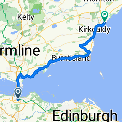
- From South Queensferry to Kirkcaldy
- Almond, South Queensferry to South Clerk Street, Edinburgh
- 17,4 km
- 218 m
- 189 m
- Queensferry, Szkocja, Zjednoczone Królestwo Wielkiej Brytanii
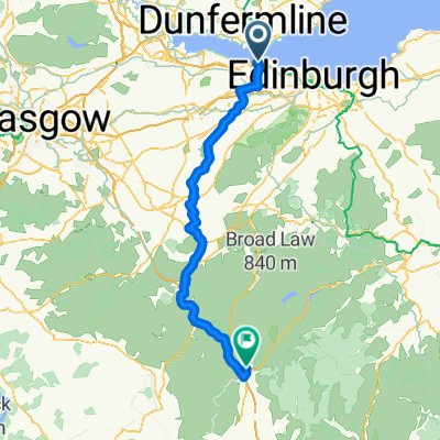
- South Queensferry to Royal Dunkeld Hotel
- 78,7 km
- 519 m
- 519 m
- Queensferry, Szkocja, Zjednoczone Królestwo Wielkiej Brytanii
- Day 24 Queensferry to Perth
- 53,2 km
- 470 m
- 508 m
- Queensferry, Szkocja, Zjednoczone Królestwo Wielkiej Brytanii
- Stage 6 to Moff
- 108 km
- 841 m
- 748 m
- Queensferry, Szkocja, Zjednoczone Królestwo Wielkiej Brytanii
- Sunday afternoon ride
- 22,1 km
- 174 m
- 173 m
- Queensferry, Szkocja, Zjednoczone Królestwo Wielkiej Brytanii
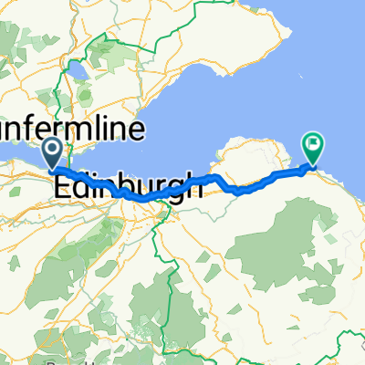
- Queensferry - Dunbar
- 76,6 km
- 444 m
- 475 m
- Queensferry, Szkocja, Zjednoczone Królestwo Wielkiej Brytanii
- 24 High Street, South Queensferry to 6 Hopetoun Street, Edinburgh
- 17,9 km
- 160 m
- 149 m
- Queensferry, Szkocja, Zjednoczone Królestwo Wielkiej Brytanii
Otwórz ją w aplikacji


