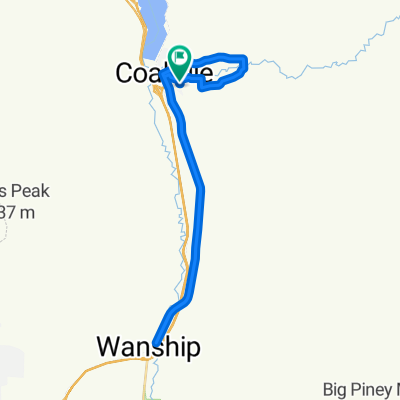
- 19,9 km
- 110 m
- 24 m
- Coalville, Utah, USA
CROYDON DEATH LOOP
Trasa rowerowa rozpoczynająca się w Coalville, Utah, USA.
Przegląd
O tej trasie
Krótka, ale umiarkowana pętla rowerowa z interesującą różnorodnością. Około 11 mil z przewyższeniem wynoszącym około 650 stóp.
OSTRZEŻENIE: OKOŁO 1,5 MILI TEJ PĘTLI JEST NA I-15. TO OD CIEBIE ZALEŻY, ABY ZBADAĆ DOBRE WYJAŚNIENIE (DLA KAŻDEGO POLICJANTA STANOWEGO UTAH), DLACZEGO TO JEST LEGALNE. Zaleca się, aby tę pętlę pokonać zgodnie z ruchem wskazówek zegara, aby odcinek autostrady był zjazdowy.
Nie ma żadnych udogodnień na trasie, nawet w Henefer. Może być kilka miejsc, w których można znaleźć wodę z rowu, jeśli to konieczne, ale nic, co jest bezpieczne do picia.
Twoją jazdę można wydłużyć, dodając trasę w obie strony z Croydon w kierunku zbiornika Lost Creek.
- -:--
- Czas
- 17,3 km
- Dystans
- ---
- Przewyższenia
- ---
- Spadek
- ---
- Śr. Prędkość
- ---
- Maks. wysokość
utworzono 1 rok temu temu
Kontynuuj z Bikemap
Użyj, edytuj lub pobierz tę trasę rowerową
Chcesz przejechać trasę CROYDON DEATH LOOP lub dostosować ją do swojej wycieczki? Oto, co możesz zrobić z tą trasą na Bikemap:
Darmowe funkcje
- Zapisz tę trasę jako ulubioną lub w kolekcji
- Skopiuj i zaplanuj swoją wersję tej trasy
- Synchronizuj swoją trasę z Garminem lub Wahoo
Funkcje Premium
3 dni bezpłatnej wersji próbnej lub jednorazowa opłata. Dowiedz się więcej o Bikemap Premium.
- Nawiguj po tej trasie na iOS i Androidzie
- Eksportuj plik GPX / KML tej trasy
- Stwórz swój własny wydruk (wypróbuj za darmo)
- Pobierz tę trasę do nawigacji offline
Odkryj więcej funkcji Premium.
Uzyskaj Bikemap PremiumOd naszej społeczności
Coalville: Inne popularne trasy rozpoczynające się tutaj
- Wanship to Echo
- North Uinta
- 297,4 km
- 2692 m
- 2770 m
- Coalville, Utah, USA
- North Main Street to Pioneer Drive
- 43,5 km
- 170 m
- 130 m
- Coalville, Utah, USA
- Pioneer Drive to Pioneer Drive
- 34 km
- 219 m
- 204 m
- Coalville, Utah, USA
- Pioneer Drive to Pioneer Drive
- 96,6 km
- 542 m
- 522 m
- Coalville, Utah, USA
- 23 S Main St, Coalville to 98 N Main St, Coalville
- 0,3 km
- 0 m
- 0 m
- Coalville, Utah, USA
- Coalville - Snyderville
- 21,4 km
- 379 m
- 226 m
- Coalville, Utah, USA
Otwórz ją w aplikacji


