

Crete
Crete | Archanes to Tripiti beach
Trasa rowerowa rozpoczynająca się w Ano Arhanes, Crete, Grecja.
Przegląd
O tej trasie
Relatively easy ride for the most part, with some notable exceptions. Some parts are quite hard.
One of the most challenging parts was leaving Arhanes. Behind mount Giouhtas, the road was off-road and very steep downhill. There is no way I could have climbed this part on my return. These are roads the farmer use to reach their olive trees, etc. I've done it in August and there was some mud; I suspect that it's going to be much worse other times of the year. However, once I started encountering villages, the views was rewarding and the people very welcoming.
The whole trip was done between 6.30pm and midnight. One has to be very careful with dangerous drivers. I was wearing a reflective vest and had bright lights. I was stepping off the road when I had a car far behind me and was approaching a blind turn.
Descending to Tripiti beach was also off-road and kind of steep. Not as hard as the part after Arhanes, but not pleasant. Although, the views are amazing during daytime.
- 4 h 13 min
- Czas
- 57,8 km
- Dystans
- 1499 m
- Przewyższenia
- 1881 m
- Spadek
- 13,7 km/h
- Śr. Prędkość
- 551 m
- Maks. wysokość
Część
Crete
2 etapy
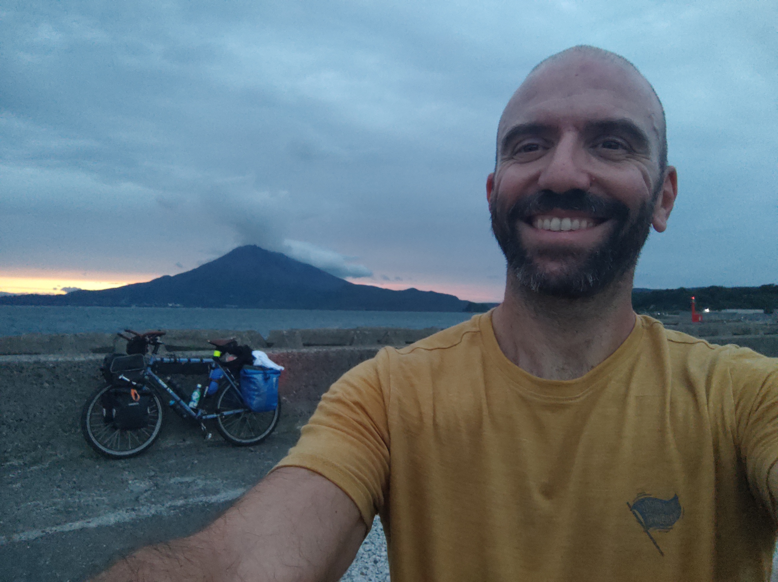
Zdjęcia trasy

Jakość trasy
Typy dróg i nawierzchnie na trasie
Typy dróg
Spokojna droga
26,3 km
(46 %)
Droga
18,5 km
(32 %)
Powierzchnie
Utwardzona
6,3 km
(11 %)
Nieutwardzona
4,4 km
(8 %)
Asfalt
6 km
(10 %)
Ziemia
2,4 km
(4 %)
Kontynuuj z Bikemap
Użyj, edytuj lub pobierz tę trasę rowerową
Chcesz przejechać trasę Crete | Archanes to Tripiti beach lub dostosować ją do swojej wycieczki? Oto, co możesz zrobić z tą trasą na Bikemap:
Darmowe funkcje
- Zapisz tę trasę jako ulubioną lub w kolekcji
- Skopiuj i zaplanuj swoją wersję tej trasy
- Synchronizuj swoją trasę z Garminem lub Wahoo
Funkcje Premium
3 dni bezpłatnej wersji próbnej lub jednorazowa opłata. Dowiedz się więcej o Bikemap Premium.
- Nawiguj po tej trasie na iOS i Androidzie
- Eksportuj plik GPX / KML tej trasy
- Stwórz swój własny wydruk (wypróbuj za darmo)
- Pobierz tę trasę do nawigacji offline
Odkryj więcej funkcji Premium.
Uzyskaj Bikemap PremiumOd naszej społeczności
Ano Arhanes: Inne popularne trasy rozpoczynające się tutaj
 Αγιές Παρασκιές- Ηράκλειο- Γάζι
- Dystans
- 27,9 km
- Przewyższenia
- 180 m
- Spadek
- 531 m
- Lokalizacja
- Ano Arhanes, Crete, Grecja
 Eparchiaki Odos Irakliou - Praitorias, Zervou Metochi nach Fokionos 12, Iraklio
- Dystans
- 12,2 km
- Przewyższenia
- 29 m
- Spadek
- 29 m
- Lokalizacja
- Ano Arhanes, Crete, Grecja
 Tavlariada
- Dystans
- 36,5 km
- Przewyższenia
- 1052 m
- Spadek
- 1050 m
- Lokalizacja
- Ano Arhanes, Crete, Grecja
 Pyrgou-Pezon, Choudetsi to Pyrgou-Pezon, Choudetsi
- Dystans
- 57,1 km
- Przewyższenia
- 777 m
- Spadek
- 779 m
- Lokalizacja
- Ano Arhanes, Crete, Grecja
 2 κατω βρύση
- Dystans
- 11,5 km
- Przewyższenia
- 325 m
- Spadek
- 261 m
- Lokalizacja
- Ano Arhanes, Crete, Grecja
 Billpie
- Dystans
- 30,5 km
- Przewyższenia
- 0 m
- Spadek
- 0 m
- Lokalizacja
- Ano Arhanes, Crete, Grecja
 ΑΓ. ΒΑΣΙΛΕΙΟΣ ΑΡΧΑΝΕΣ ΒΑΘΥΠΕΤΡΟ ΦΡΑΓΜΑ ΧΟΥΔΕΤΣΙ
- Dystans
- 29,5 km
- Przewyższenia
- 0 m
- Spadek
- 0 m
- Lokalizacja
- Ano Arhanes, Crete, Grecja
 Crete | Archanes to Tripiti beach
- Dystans
- 57,8 km
- Przewyższenia
- 1499 m
- Spadek
- 1881 m
- Lokalizacja
- Ano Arhanes, Crete, Grecja
Otwórz ją w aplikacji