Via Transilvanica, Section 2: Highlands (official)
Trasa rowerowa rozpoczynająca się w Dorna Cândrenilor, Okręg Suczawa, Rumunia.
Przegląd
O tej trasie
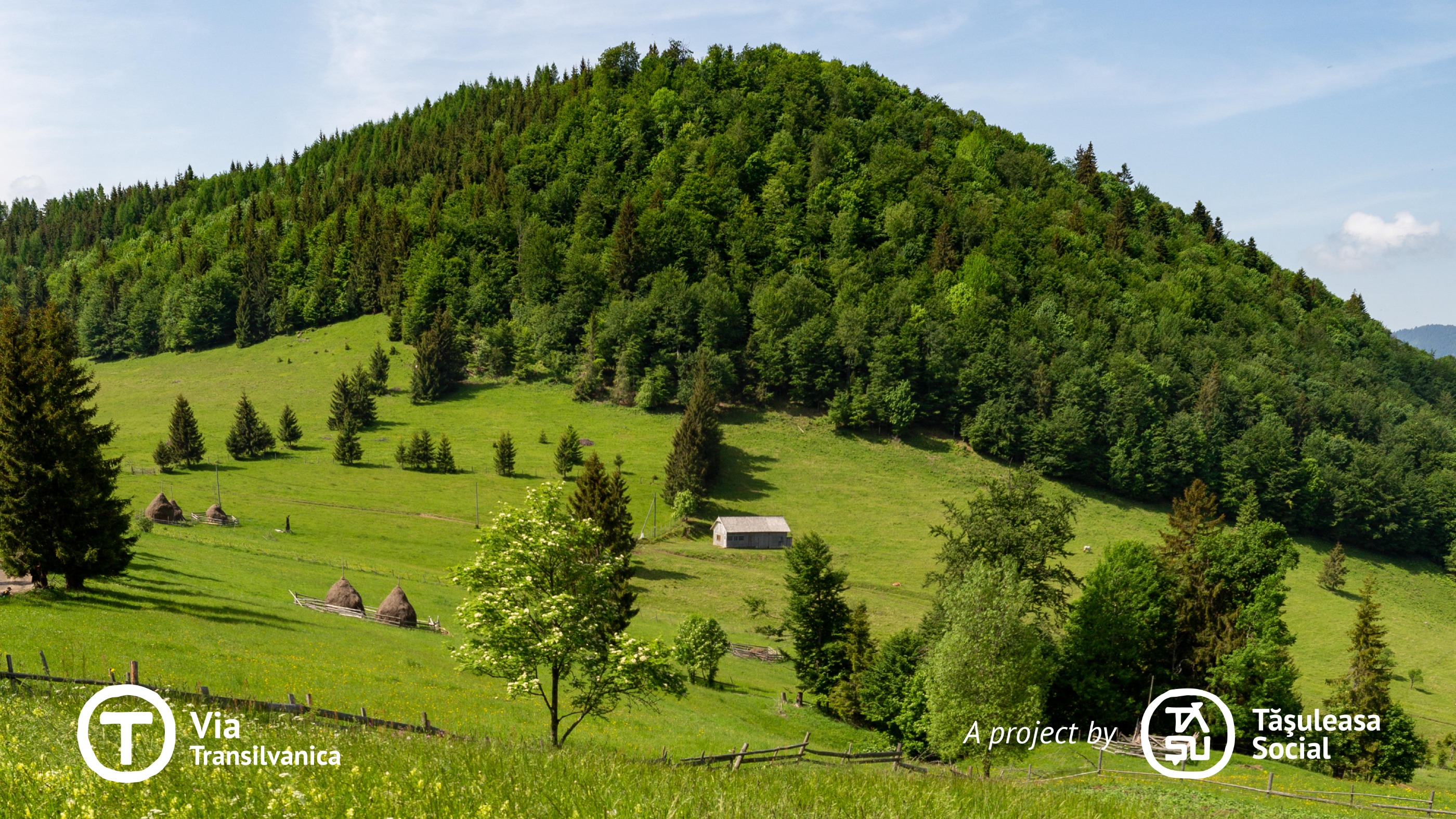
Na tym odcinku szlaku Via Transilvanica (VT) prowadzi przez góry, ukazując, jak surowość krajobrazu nauczyła ludzi przystosowywać się zarówno do natury, jak i do czasu. Przemierzając zróżnicowany teren – od górskich rejonów, przez nizinne lasy, faliste wzgórza, aż po rozległe pola – ten odcinek zaprasza do odkrywania swojego naturalnego piękna i niezwykłych widoków. Ponadto bogate dziedzictwo kulturowe, kształtowane przez wieki przez znaczną różnorodność etniczną, nadaje mu unikalną i szczególną aurę.
- -:--
- Czas
- 232,3 km
- Dystans
- 5900 m
- Przewyższenia
- 6169 m
- Spadek
- ---
- Śr. Prędkość
- 1192 m
- Maks. wysokość
Zdjęcia trasy
Kontynuuj z Bikemap
Użyj, edytuj lub pobierz tę trasę rowerową
Chcesz przejechać trasę Via Transilvanica, Section 2: Highlands (official) lub dostosować ją do swojej wycieczki? Oto, co możesz zrobić z tą trasą na Bikemap:
Darmowe funkcje
- Zapisz tę trasę jako ulubioną lub w kolekcji
- Skopiuj i zaplanuj swoją wersję tej trasy
- Podziel trasę na etapy, aby utworzyć kilkudniową wycieczkę
- Synchronizuj swoją trasę z Garminem lub Wahoo
Funkcje Premium
3 dni bezpłatnej wersji próbnej lub jednorazowa opłata. Dowiedz się więcej o Bikemap Premium.
- Nawiguj po tej trasie na iOS i Androidzie
- Eksportuj plik GPX / KML tej trasy
- Stwórz swój własny wydruk (wypróbuj za darmo)
- Pobierz tę trasę do nawigacji offline
Odkryj więcej funkcji Premium.
Uzyskaj Bikemap PremiumOd naszej społeczności
Dorna Cândrenilor: Inne popularne trasy rozpoczynające się tutaj
 Candreni 2
- Dystans
- 14,6 km
- Przewyższenia
- 196 m
- Spadek
- 195 m
- Lokalizacja
- Dorna Cândrenilor, Okręg Suczawa, Rumunia
 Via Transilvanica, Section 2: Highlands (official)
- Dystans
- 232,3 km
- Przewyższenia
- 5900 m
- Spadek
- 6169 m
- Lokalizacja
- Dorna Cândrenilor, Okręg Suczawa, Rumunia
 Tura Rarau
- Dystans
- 111,2 km
- Przewyższenia
- 1313 m
- Spadek
- 1327 m
- Lokalizacja
- Dorna Cândrenilor, Okręg Suczawa, Rumunia
 Tataru - Batca Rosie
- Dystans
- 59,1 km
- Przewyższenia
- 426 m
- Spadek
- 453 m
- Lokalizacja
- Dorna Cândrenilor, Okręg Suczawa, Rumunia
 candreni
- Dystans
- 13,9 km
- Przewyższenia
- 388 m
- Spadek
- 393 m
- Lokalizacja
- Dorna Cândrenilor, Okręg Suczawa, Rumunia
 Calimani
- Dystans
- 56,2 km
- Przewyższenia
- 1265 m
- Spadek
- 1264 m
- Lokalizacja
- Dorna Cândrenilor, Okręg Suczawa, Rumunia
 Dorna - Borsa
- Dystans
- 96,4 km
- Przewyższenia
- 671 m
- Spadek
- 822 m
- Lokalizacja
- Dorna Cândrenilor, Okręg Suczawa, Rumunia
 VT - Ziua 4 - Poiana Negrii - Lunca Ilvei - Tasuleasa Social
- Dystans
- 45 km
- Przewyższenia
- 1257 m
- Spadek
- 1123 m
- Lokalizacja
- Dorna Cândrenilor, Okręg Suczawa, Rumunia
Otwórz ją w aplikacji


