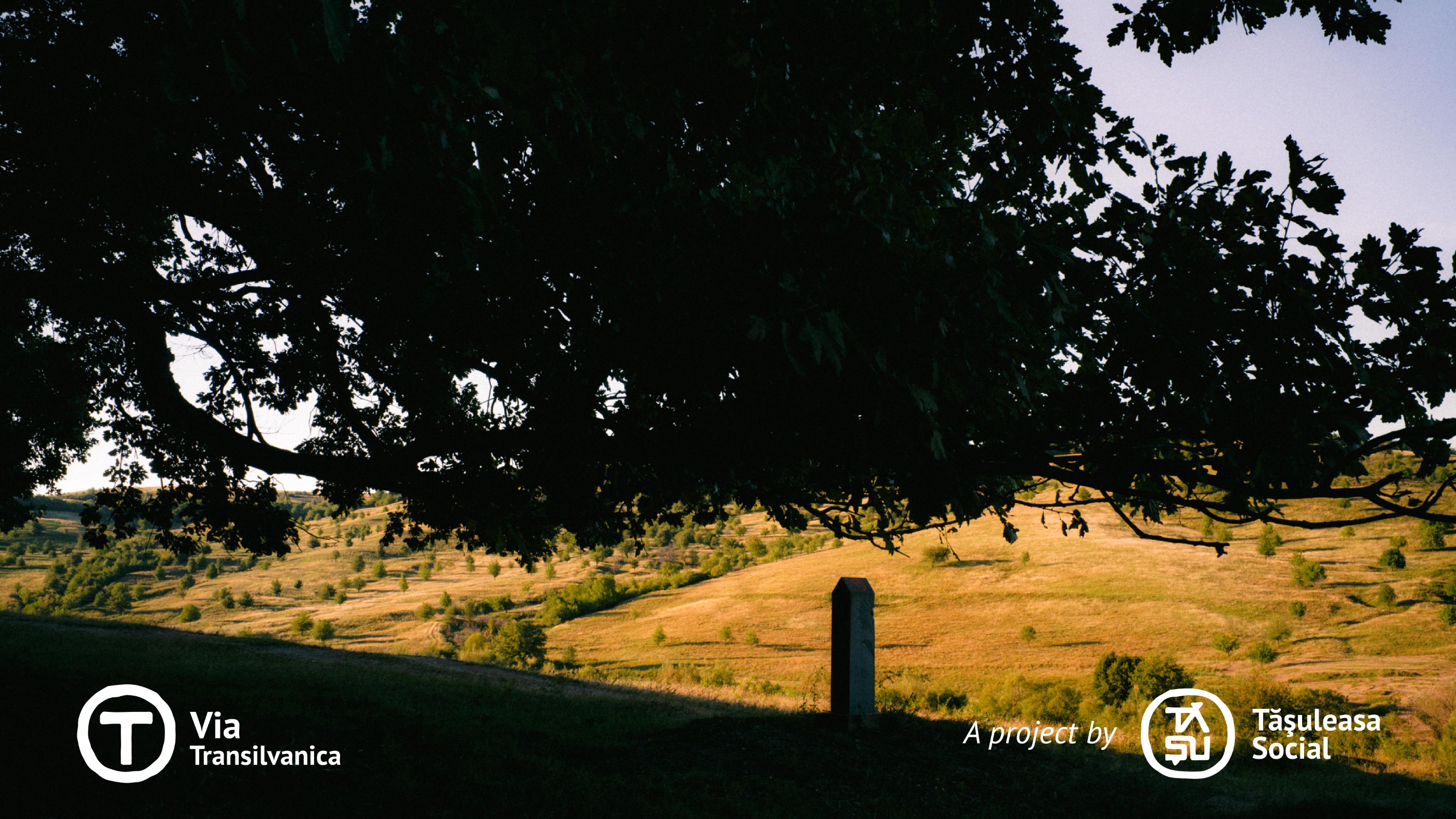
Via Transilvanica, Section 3: Terra Siculorum (official)
Trasa rowerowa rozpoczynająca się w Eremitu, Okręg Marusza, Rumunia.
Przegląd
O tej trasie
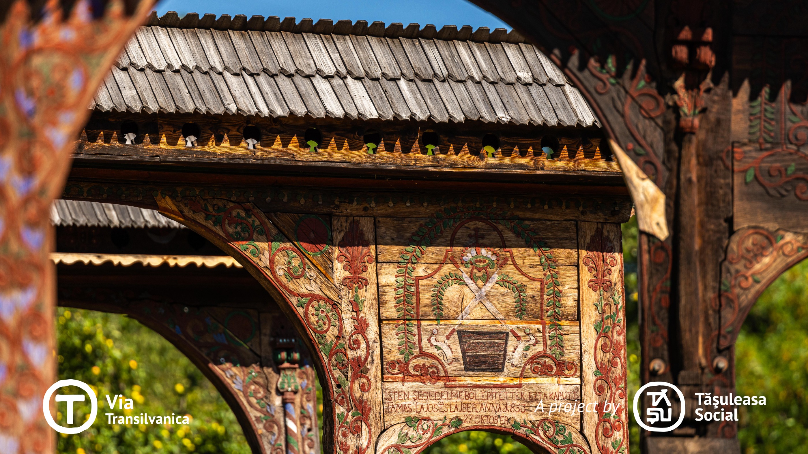
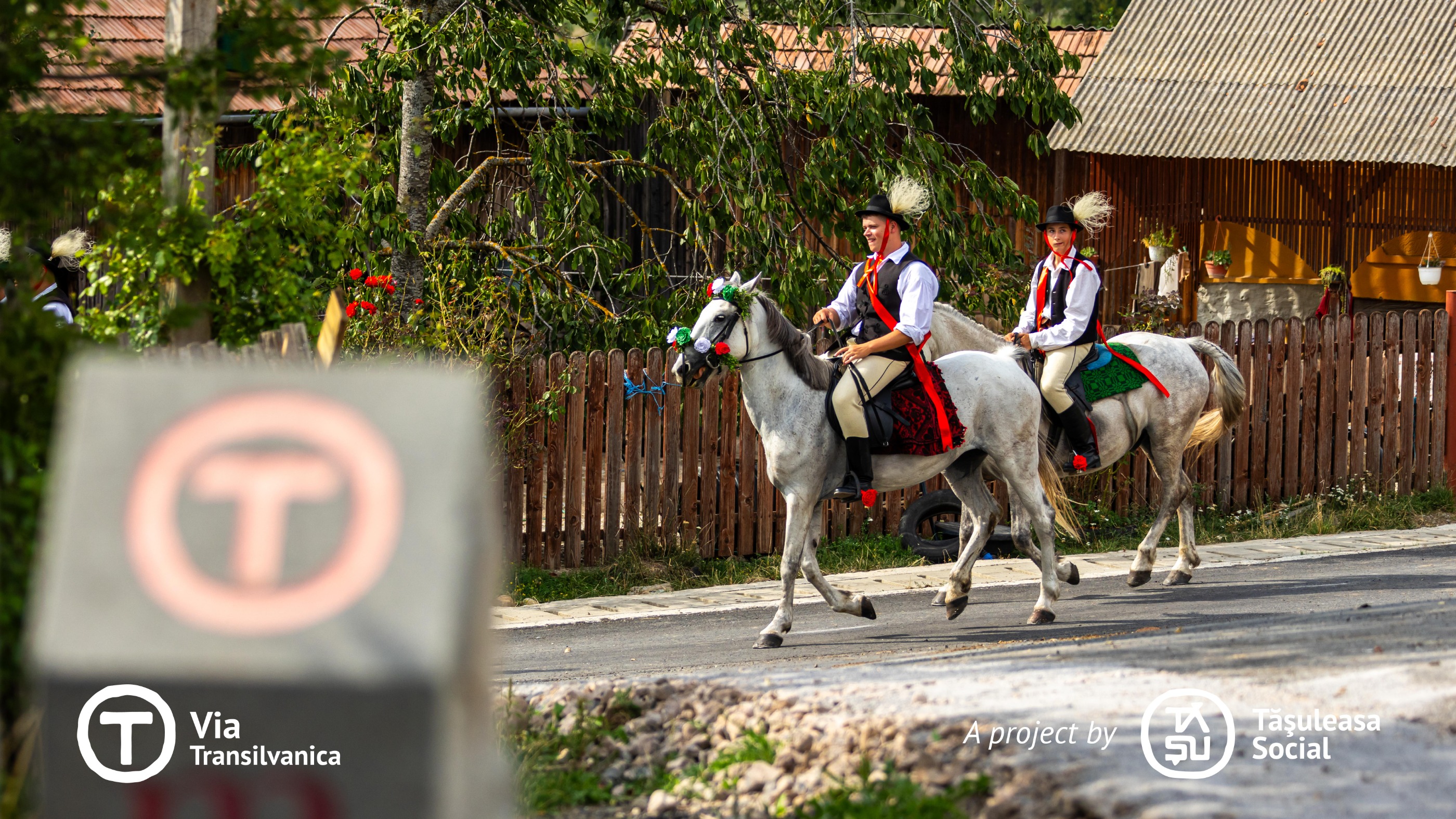
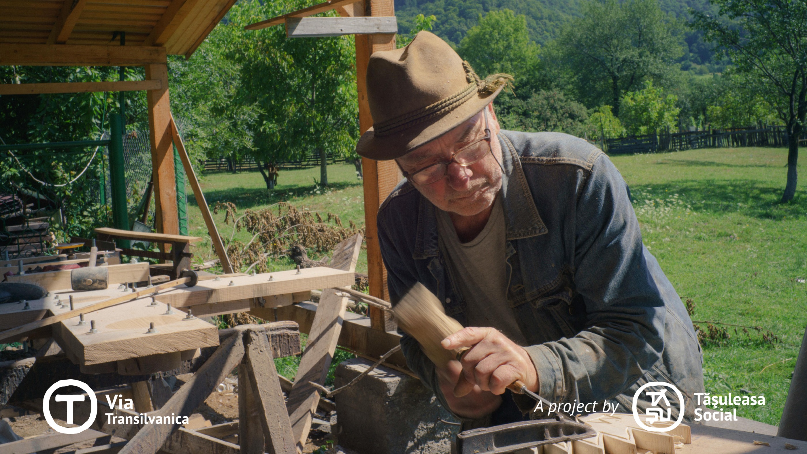
Terra Siculorum to łacińska nazwa Szeklerlandu, regionu Rumunii, który odgrywa znaczącą rolę w kształtowaniu etnicznych, kulturowych i historycznych warstw Via Transilvanica (VT). Wzdłuż tego odcinka społeczności Szeklerów wyróżniają się swoim charakterystycznym stylem, podobnie jak naturalny krajobraz, który obejmuje rozległe pastwiska, łagodne wzgórza, kwieciste łąki i bogate lasy bukowe, sosnowe i świerkowe. Niektóre z kluczowych atrakcji tego odcinka to znakomita pălinca, pyszny lángos, góry soli, język węgierski, tradycyjne rękodzieło, głęboka miłość i troska o konie, fascynujące opowieści oraz obfitość smacznego jedzenia. Odkrywamy starożytny alfabet runiczny, charakterystyczne wąsy Szeklerów, ich tradycyjne stroje, misternie rzeźbione bramy Szeklerów, wielkie uroczystości z charakterystycznymi tańcami ludowymi oraz domowy chleb ziemniaczany. Jako zagorzali strażnicy zwyczajów, tradycji i kultury Szeklerów, ludzie są wyjątkowo gościnni i nieskończenie radośni. Więcej szczegółów: https://www.viatransilvanica.com/en/
- -:--
- Czas
- 150,8 km
- Dystans
- 3916 m
- Przewyższenia
- 4072 m
- Spadek
- ---
- Śr. Prędkość
- 1036 m
- Maks. wysokość
Zdjęcia trasy
Jakość trasy
Typy dróg i nawierzchnie na trasie
Typy dróg
Droga leśna
54,3 km
(36 %)
Spokojna droga
37,7 km
(25 %)
Powierzchnie
Utwardzona
21,1 km
(14 %)
Nieutwardzona
37,7 km
(25 %)
Żwir
31,7 km
(21 %)
Asfalt
21,1 km
(14 %)
Kontynuuj z Bikemap
Użyj, edytuj lub pobierz tę trasę rowerową
Chcesz przejechać trasę Via Transilvanica, Section 3: Terra Siculorum (official) lub dostosować ją do swojej wycieczki? Oto, co możesz zrobić z tą trasą na Bikemap:
Darmowe funkcje
- Zapisz tę trasę jako ulubioną lub w kolekcji
- Skopiuj i zaplanuj swoją wersję tej trasy
- Podziel trasę na etapy, aby utworzyć kilkudniową wycieczkę
- Synchronizuj swoją trasę z Garminem lub Wahoo
Funkcje Premium
3 dni bezpłatnej wersji próbnej lub jednorazowa opłata. Dowiedz się więcej o Bikemap Premium.
- Nawiguj po tej trasie na iOS i Androidzie
- Eksportuj plik GPX / KML tej trasy
- Stwórz swój własny wydruk (wypróbuj za darmo)
- Pobierz tę trasę do nawigacji offline
Odkryj więcej funkcji Premium.
Uzyskaj Bikemap PremiumOd naszej społeczności
Eremitu: Inne popularne trasy rozpoczynające się tutaj
 Szakadát vára - Tompa tető - Pogor hegy
- Dystans
- 6 km
- Przewyższenia
- 131 m
- Spadek
- 214 m
- Lokalizacja
- Eremitu, Okręg Marusza, Rumunia
 Tompa tető - Pogor hegy - Marosvásárhely
- Dystans
- 38,5 km
- Przewyższenia
- 127 m
- Spadek
- 331 m
- Lokalizacja
- Eremitu, Okręg Marusza, Rumunia
 Câmpu Cetăţii - Lacul Ursu - Câmpu Cetăţii
- Dystans
- 39,2 km
- Przewyższenia
- 390 m
- Spadek
- 390 m
- Lokalizacja
- Eremitu, Okręg Marusza, Rumunia
 SZT.2N - Varmezo - 2. nap
- Dystans
- 59,9 km
- Przewyższenia
- 1447 m
- Spadek
- 1448 m
- Lokalizacja
- Eremitu, Okręg Marusza, Rumunia
 Traseu lung - Saca Mare - Campu Cetatii
- Dystans
- 43,3 km
- Przewyższenia
- 1182 m
- Spadek
- 1182 m
- Lokalizacja
- Eremitu, Okręg Marusza, Rumunia
 9.nap- május 11. péntek - Gurul a Rádió (2012)
- Dystans
- 48,7 km
- Przewyższenia
- 133 m
- Spadek
- 413 m
- Lokalizacja
- Eremitu, Okręg Marusza, Rumunia
 Traseu scurt - Campu Cetatii
- Dystans
- 31,6 km
- Przewyższenia
- 714 m
- Spadek
- 712 m
- Lokalizacja
- Eremitu, Okręg Marusza, Rumunia
 c.cetatii forest
- Dystans
- 10,8 km
- Przewyższenia
- 203 m
- Spadek
- 309 m
- Lokalizacja
- Eremitu, Okręg Marusza, Rumunia
Otwórz ją w aplikacji


