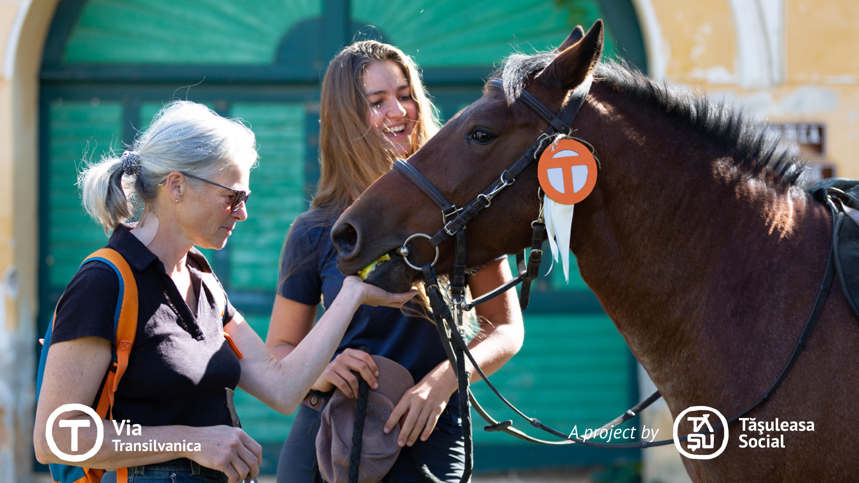
Via Transilvanica, Section 4: Terra Saxonum (official)
Trasa rowerowa rozpoczynająca się w Saschiz, Okręg Marusza, Rumunia.
Przegląd
O tej trasie
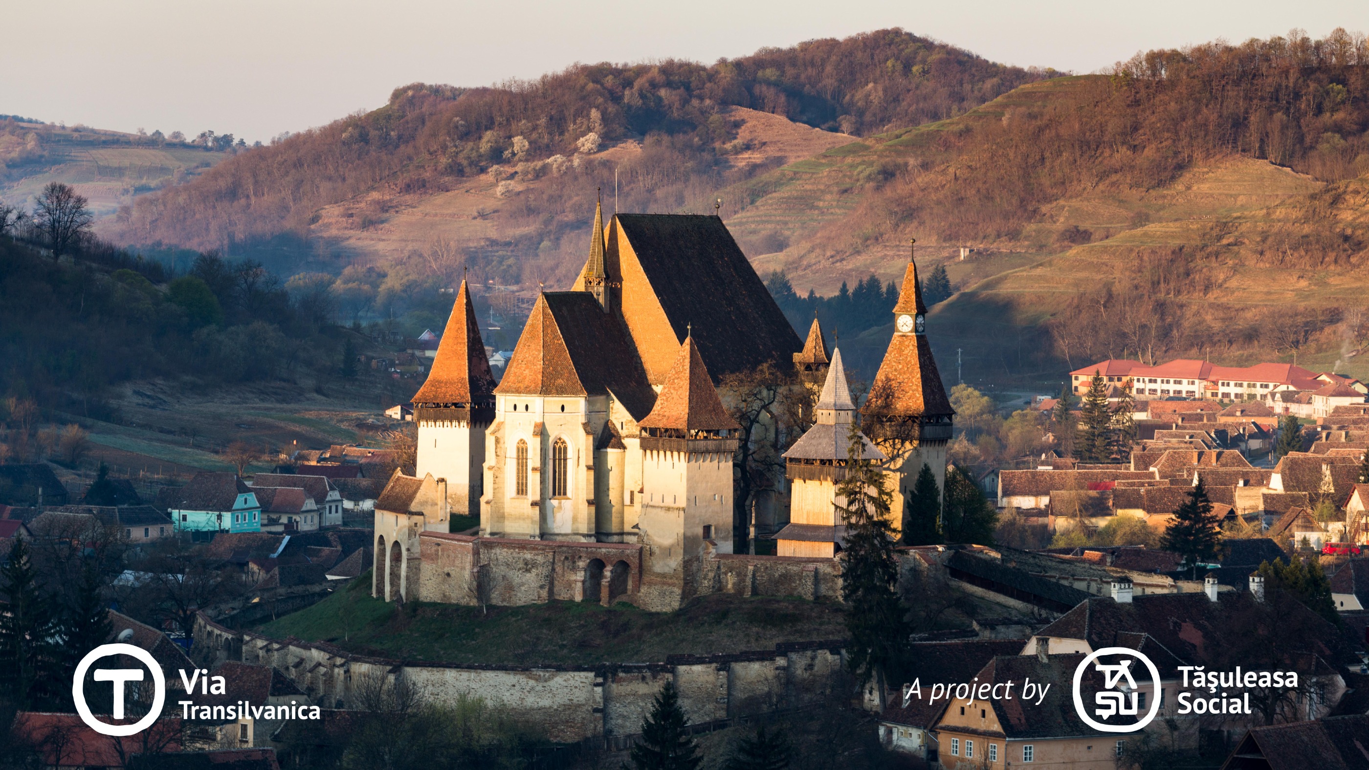
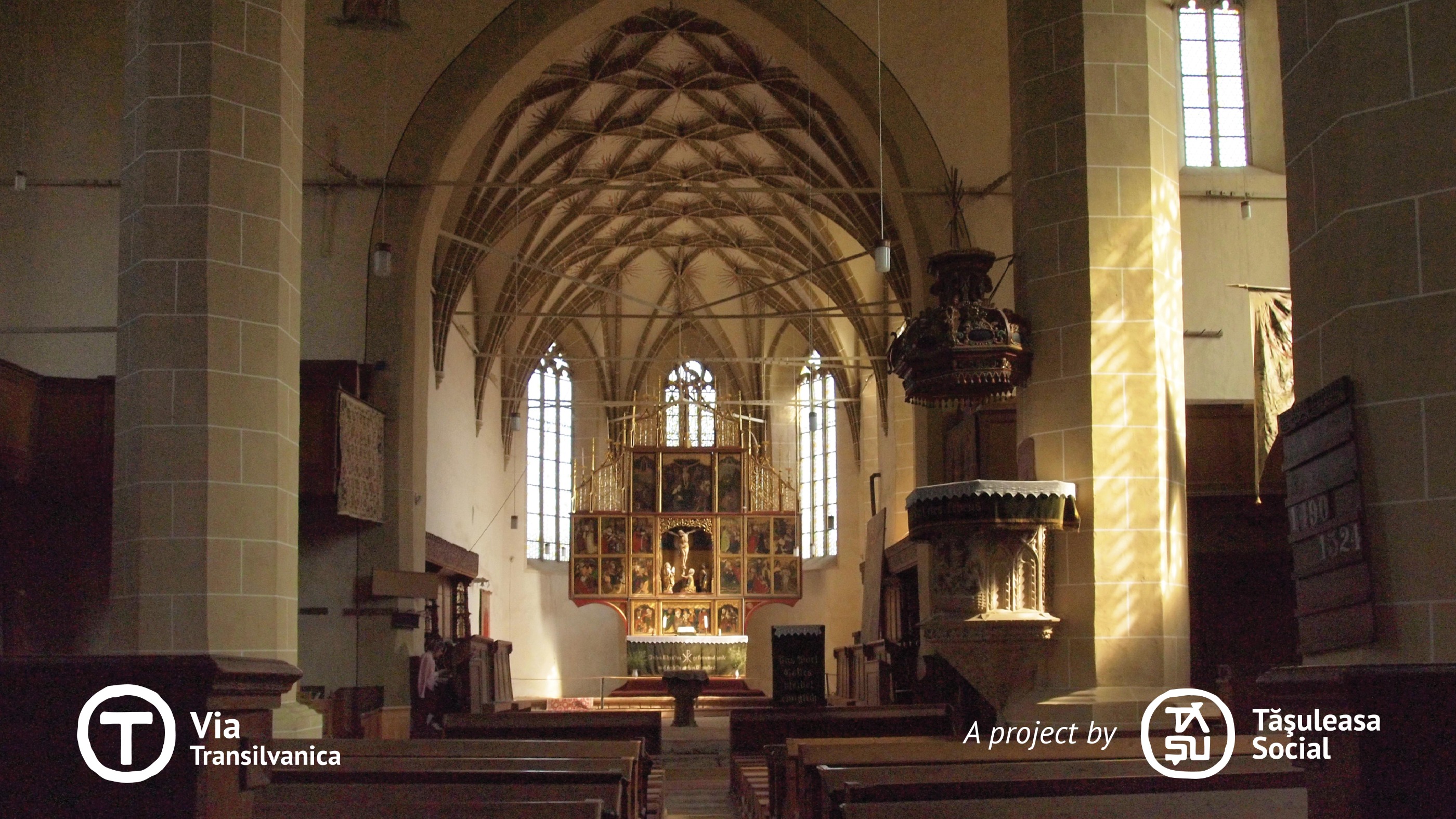
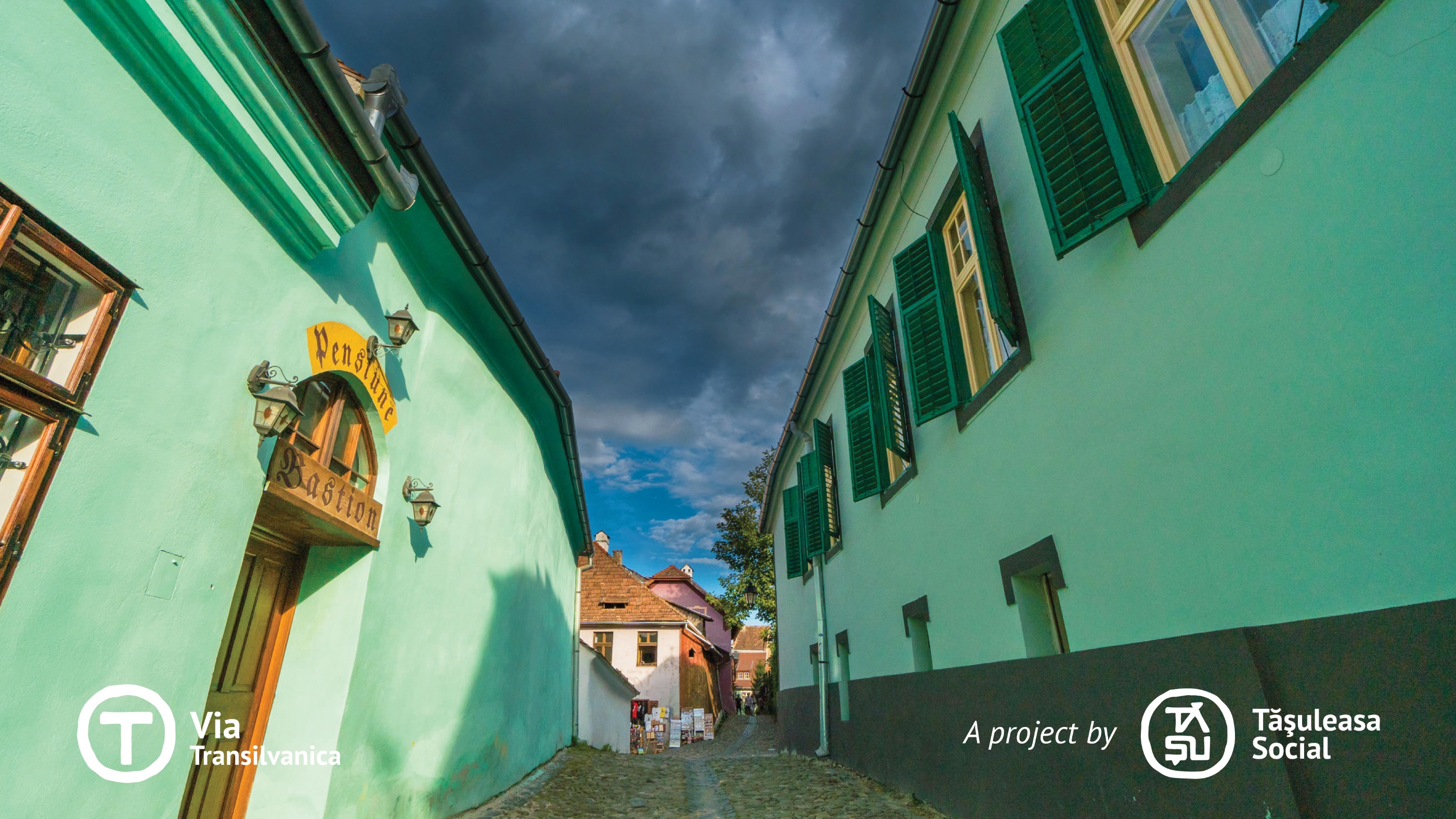
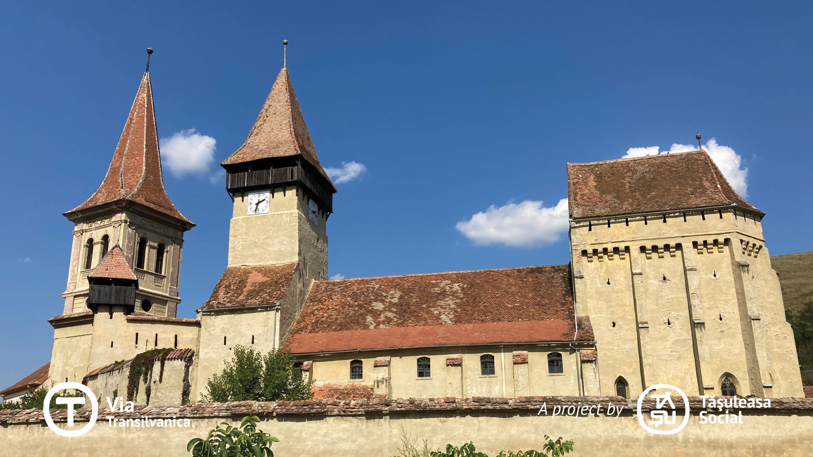
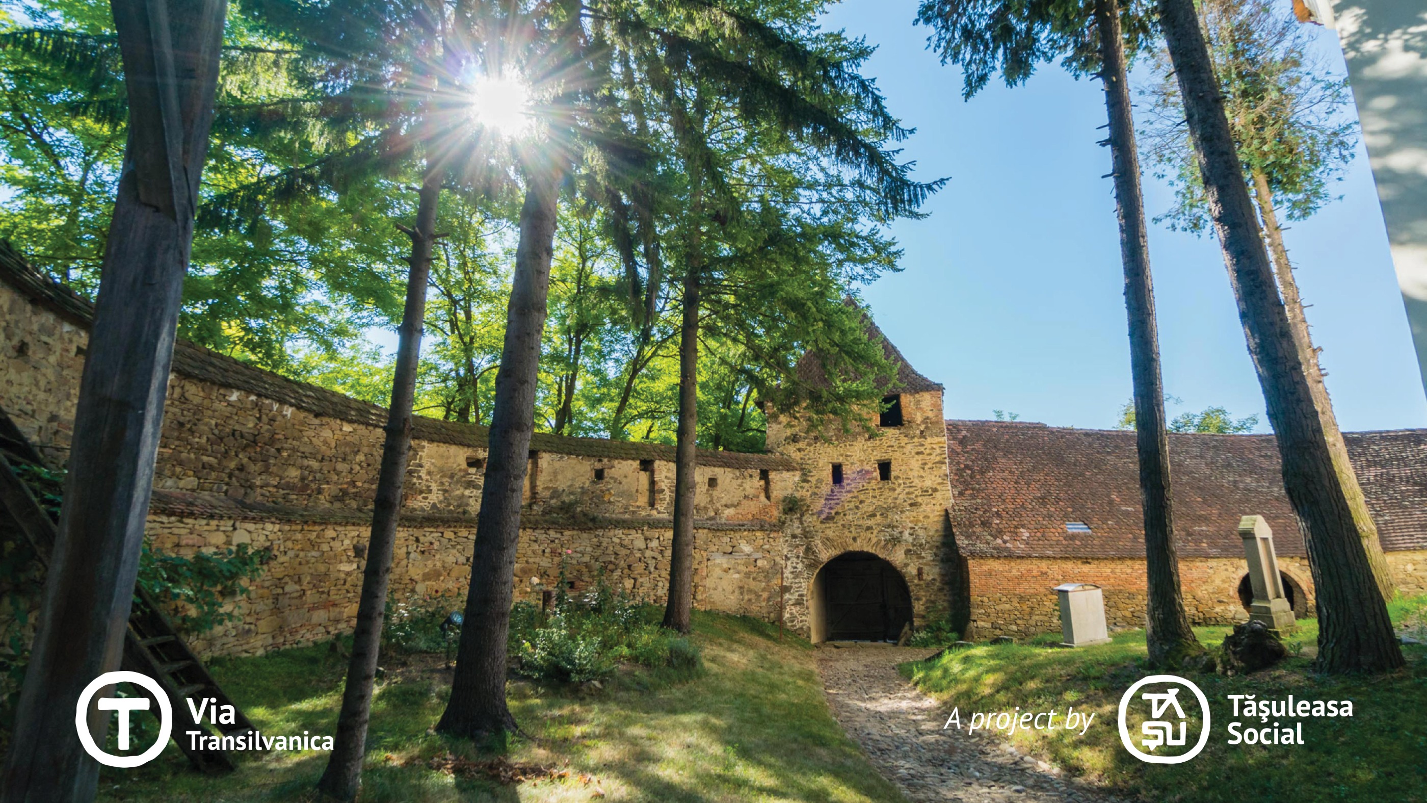
Terra Saxonum to kraina Sasów, ludu pochodzenia germańskiego, którzy zostali zaproszeni przez węgierskich królów do osiedlenia się w Transylwanii w XII i XIII wieku. Ten region jest typowy dla dziedzictwa, które pozostawili w Transylwanii, widocznego w charakterystycznej architekturze ich domów, warownych kościołach oraz słynnej wieży boczku. Społeczność saska słynęła z jedności, a wieża boczku – obecna niemal w każdej wiosce z warownym kościołem – służyła jako wspólne miejsce przechowywania, w którym cała społeczność trzymała zimowe zapasy. Wieża była otwierana w niedziele lub soboty, pozwalając mieszkańcom zabierać tygodniowe zapasy bez przeszkadzania boczkowi innych. Dziś ziemie saskie pozostają niezwykłym dziedzictwem Transylwanii, zachowując ważny rozdział historii Rumunii. Podróż przez Terra Saxonum jest niezapomniana – oferuje cenne lekcje i niespotykaną urodę. Więcej informacji: https://www.viatransilvanica.com/en/
- -:--
- Czas
- 200,8 km
- Dystans
- 4916 m
- Przewyższenia
- 5105 m
- Spadek
- ---
- Śr. Prędkość
- 729 m
- Maks. wysokość
Zdjęcia trasy
Kontynuuj z Bikemap
Użyj, edytuj lub pobierz tę trasę rowerową
Chcesz przejechać trasę Via Transilvanica, Section 4: Terra Saxonum (official) lub dostosować ją do swojej wycieczki? Oto, co możesz zrobić z tą trasą na Bikemap:
Darmowe funkcje
- Zapisz tę trasę jako ulubioną lub w kolekcji
- Skopiuj i zaplanuj swoją wersję tej trasy
- Podziel trasę na etapy, aby utworzyć kilkudniową wycieczkę
- Synchronizuj swoją trasę z Garminem lub Wahoo
Funkcje Premium
3 dni bezpłatnej wersji próbnej lub jednorazowa opłata. Dowiedz się więcej o Bikemap Premium.
- Nawiguj po tej trasie na iOS i Androidzie
- Eksportuj plik GPX / KML tej trasy
- Stwórz swój własny wydruk (wypróbuj za darmo)
- Pobierz tę trasę do nawigacji offline
Odkryj więcej funkcji Premium.
Uzyskaj Bikemap PremiumOd naszej społeczności
Saschiz: Inne popularne trasy rozpoczynające się tutaj
 Saschiz - Sapartoc
- Dystans
- 12,5 km
- Przewyższenia
- 314 m
- Spadek
- 241 m
- Lokalizacja
- Saschiz, Okręg Marusza, Rumunia
 CLOASTERF - SASCHIZ - CLOASTERF
- Dystans
- 14,4 km
- Przewyższenia
- 288 m
- Spadek
- 287 m
- Lokalizacja
- Saschiz, Okręg Marusza, Rumunia
 Traseul Lung TBTRace 2017
- Dystans
- 76,6 km
- Przewyższenia
- 1053 m
- Spadek
- 1055 m
- Lokalizacja
- Saschiz, Okręg Marusza, Rumunia
 D2 Saschiz - Vf. Katzenberg - Mesendorf - Cloasterf - Crit - Saschiz
- Dystans
- 49,2 km
- Przewyższenia
- 926 m
- Spadek
- 926 m
- Lokalizacja
- Saschiz, Okręg Marusza, Rumunia
 Szaszkezd eltero gerinc - Mese
- Dystans
- 15,8 km
- Przewyższenia
- 287 m
- Spadek
- 332 m
- Lokalizacja
- Saschiz, Okręg Marusza, Rumunia
 TBT-race-2016
- Dystans
- 41,6 km
- Przewyższenia
- 634 m
- Spadek
- 637 m
- Lokalizacja
- Saschiz, Okręg Marusza, Rumunia
 Via Transilvanica, Section 4: Terra Saxonum (official)
- Dystans
- 200,8 km
- Przewyższenia
- 4916 m
- Spadek
- 5105 m
- Lokalizacja
- Saschiz, Okręg Marusza, Rumunia
 cloasterf - crit
- Dystans
- 4,3 km
- Przewyższenia
- 151 m
- Spadek
- 147 m
- Lokalizacja
- Saschiz, Okręg Marusza, Rumunia
Otwórz ją w aplikacji


