Theo Wirth Area MTB Trails
Trasa rowerowa rozpoczynająca się w Golden Valley, Minnesota, USA.
Przegląd
O tej trasie
To dobra trasa MTB, która obejmuje wszystkie szlaki gruntowe w rejonie Theo Wirth. Rozpoczyna się w Robbinsdale i prowadzi na południe aż do Cedar Lake, a następnie wraca. Jest ładna mieszanka szlaków gruntowych i utwardzonych.
- -:--
- Czas
- 14,8 km
- Dystans
- 81 m
- Przewyższenia
- 93 m
- Spadek
- ---
- Śr. Prędkość
- ---
- Maks. wysokość
Najważniejsze punkty trasy
Punkty zainteresowania na trasie
Interesujące miejsce po 0 km
This is the parking lot for the Mary Hills Park. There is a field right next to the parking lot. The single track starts at the southern end of this field and goes all the way through the park down to Golden Valley Road. Cross Golden Valley Road and another trail picks up right next to the golf course. Look out for walkers.
Interesujące miejsce po 1,1 km
Sweet dirt jump area!
Interesujące miejsce po 2,1 km
This trail is short but fun. It is much better coming from the north and heading south. Look out for walkers.
Interesujące miejsce po 3,5 km
Theo Wirth Singletrack North Loop Entrance.
Interesujące miejsce po 3,8 km
Theo Wirth Singletrack South Loop Entrance.
Interesujące miejsce po 4,3 km
This is a nice quick little single track that leads down to the paved trail that goes around Wirth Lake. Once you hit the paved trail, go to your right and look for a single track trail exit on your right. This will lead you back out to Wirth Parkway where you can cross the street and the trail continues.
Interesujące miejsce po 5 km
This is a fun little trail that offers a steep climb if heading south and a fun downhill with a nice drop if heading north.
Interesujące miejsce po 6,8 km
Check out the very technical Brownie Lake singletrack in these woods. Lots of quick ups and downs.
Interesujące miejsce po 8,7 km
This is a nice little secluded area with some good dirt jumps and lots of trails intersecting. Look out for walkers through here though. Technically bikes are not allowed on these trails but people do not seem to mind as long your not speeding through here. There is also an older technical trail with a teeter totter and some log piles right next to the train tracks.
Interesujące miejsce po 9,7 km
This area as well as the Cedar Lake area has a ton of older trails. They are nothing to write home about but fun to explore.
Interesujące miejsce po 11,3 km
There are some more older trails and berms in here. These are the Hobo Camp trails.
Kontynuuj z Bikemap
Użyj, edytuj lub pobierz tę trasę rowerową
Chcesz przejechać trasę Theo Wirth Area MTB Trails lub dostosować ją do swojej wycieczki? Oto, co możesz zrobić z tą trasą na Bikemap:
Darmowe funkcje
- Zapisz tę trasę jako ulubioną lub w kolekcji
- Skopiuj i zaplanuj swoją wersję tej trasy
- Synchronizuj swoją trasę z Garminem lub Wahoo
Funkcje Premium
3 dni bezpłatnej wersji próbnej lub jednorazowa opłata. Dowiedz się więcej o Bikemap Premium.
- Nawiguj po tej trasie na iOS i Androidzie
- Eksportuj plik GPX / KML tej trasy
- Stwórz swój własny wydruk (wypróbuj za darmo)
- Pobierz tę trasę do nawigacji offline
Odkryj więcej funkcji Premium.
Uzyskaj Bikemap PremiumOd naszej społeczności
Golden Valley: Inne popularne trasy rozpoczynające się tutaj
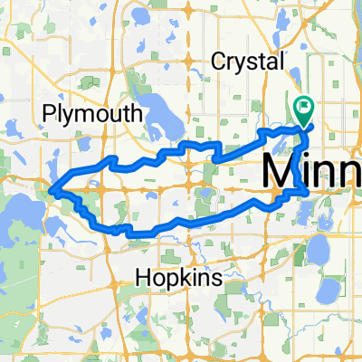
 Loop 5/20/20
- Dystans
- 14,8 km
- Przewyższenia
- 95 m
- Spadek
- 93 m
- Lokalizacja
- Golden Valley, Minnesota, USA
 Wirth-Mtka-North 41k
- Dystans
- 41,1 km
- Przewyższenia
- 192 m
- Spadek
- 201 m
- Lokalizacja
- Golden Valley, Minnesota, USA
 Luce around Minnetonka
- Dystans
- 80 km
- Przewyższenia
- 145 m
- Spadek
- 138 m
- Lokalizacja
- Golden Valley, Minnesota, USA
 Theodore Worth to Waconia - <Poor> Parley Lake Rd section
- Dystans
- 97,4 km
- Przewyższenia
- 142 m
- Spadek
- 142 m
- Lokalizacja
- Golden Valley, Minnesota, USA
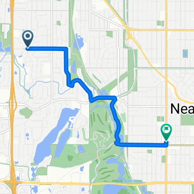
 B2B00321 55442>55411 via Culver Rd, Kyle Ave, Theo Wirth Pkwy & Plymouth Ave
- Dystans
- 5 km
- Przewyższenia
- 37 m
- Spadek
- 37 m
- Lokalizacja
- Golden Valley, Minnesota, USA
 B2B00649 55411>55344 via Luce Line, Plymouth Rd, Baker Rd
- Dystans
- 28,3 km
- Przewyższenia
- 155 m
- Spadek
- 160 m
- Lokalizacja
- Golden Valley, Minnesota, USA
 edina route66
- Dystans
- 46,2 km
- Przewyższenia
- 116 m
- Spadek
- 117 m
- Lokalizacja
- Golden Valley, Minnesota, USA
 Theo Wirth Area MTB Trails
- Dystans
- 14,8 km
- Przewyższenia
- 81 m
- Spadek
- 93 m
- Lokalizacja
- Golden Valley, Minnesota, USA
Otwórz ją w aplikacji

