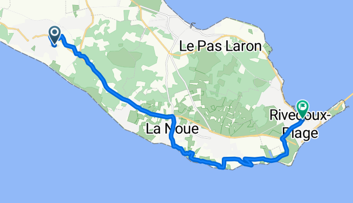

Rue de la Glacière, Le Bois-Plage-en-Ré to Rue des Iris, Le Bois-Plage-en-Ré
- 29,3 km
- 25 m
- 25 m
- Le Bois-Plage-en-Ré, Nouvelle-Aquitaine, Francja
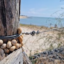
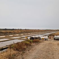
Trasa rowerowa rozpoczynająca się w Le Bois-Plage-en-Ré, Nouvelle-Aquitaine, Francja.
Przegląd
utworzono 8 miesięcy temu temu


Jakość trasy
Droga rowerowa
7,6 km
52 %
Spokojna droga
6 km
41 %
Utwardzona
7,2 km
(49 %)
Nieutwardzona
0,7 km
(5 %)
Asfalt
6,9 km
47 %
Żwir
0,4 km
3 %
Kontynuuj z Bikemap
Chcesz przejechać trasę Chemin des Varennes to Avenue Gustave Perreau lub dostosować ją do swojej wycieczki? Oto, co możesz zrobić z tą trasą na Bikemap:
3 dni bezpłatnej wersji próbnej lub jednorazowa opłata. Dowiedz się więcej o Bikemap Premium.
Odkryj więcej funkcji Premium.
Uzyskaj Bikemap PremiumOd naszej społeczności
Otwórz ją w aplikacji