

Bush Beeline Loop
Trasa rowerowa rozpoczynająca się w Mesa, Arizona, USA.
Przegląd
O tej trasie
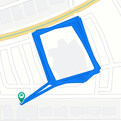
Ride out to Saguaro Lake via Bush Highway, following Salt River; return on Beeline Highway. While there are large shoulders on highways at nearly all parts, be aware that Bush Highway is used heavily by boaters, and the Beeline is a 4-lane mostly-divided highway with very heavy traffic at times. Alternatives: Ride McKellips to Ellsworth and take the Usery Pass road, Take McDowell instead of McKellips, Use Gilbert Rd as a shortcut (places not rider friendly). Note that most of the route is through park/forest/reservation, so services (restrooms, water stops, etc) are limited. On the Beeline, a good stopping point is at the Fort McDowell Rd junction, or at Shea Blvd turn to Fountain Hills.
- -:--
- Czas
- 81,4 km
- Dystans
- 2229 m
- Przewyższenia
- 2229 m
- Spadek
- ---
- Śr. Prędkość
- ---
- Maks. wysokość
Kontynuuj z Bikemap
Użyj, edytuj lub pobierz tę trasę rowerową
Chcesz przejechać trasę Bush Beeline Loop lub dostosować ją do swojej wycieczki? Oto, co możesz zrobić z tą trasą na Bikemap:
Darmowe funkcje
- Zapisz tę trasę jako ulubioną lub w kolekcji
- Skopiuj i zaplanuj swoją wersję tej trasy
- Podziel trasę na etapy, aby utworzyć kilkudniową wycieczkę
- Synchronizuj swoją trasę z Garminem lub Wahoo
Funkcje Premium
3 dni bezpłatnej wersji próbnej lub jednorazowa opłata. Dowiedz się więcej o Bikemap Premium.
- Nawiguj po tej trasie na iOS i Androidzie
- Eksportuj plik GPX / KML tej trasy
- Stwórz swój własny wydruk (wypróbuj za darmo)
- Pobierz tę trasę do nawigacji offline
Odkryj więcej funkcji Premium.
Uzyskaj Bikemap PremiumOd naszej społeczności
Mesa: Inne popularne trasy rozpoczynające się tutaj
 24km morning ride
- Dystans
- 24 km
- Przewyższenia
- 29 m
- Spadek
- 27 m
- Lokalizacja
- Mesa, Arizona, USA
 Peter
Peter- Dystans
- 2 km
- Przewyższenia
- 0 m
- Spadek
- 0 m
- Lokalizacja
- Mesa, Arizona, USA
 canal-pecans-Lindsey-brown-power-Alma school
- Dystans
- 70,2 km
- Przewyższenia
- 90 m
- Spadek
- 89 m
- Lokalizacja
- Mesa, Arizona, USA
 Steady ride in Tempe
- Dystans
- 15,9 km
- Przewyższenia
- 38 m
- Spadek
- 64 m
- Lokalizacja
- Mesa, Arizona, USA
 Relaxed route in Mesa
- Dystans
- 39 km
- Przewyższenia
- 810 m
- Spadek
- 812 m
- Lokalizacja
- Mesa, Arizona, USA
 60km Mesa
- Dystans
- 60,5 km
- Przewyższenia
- 47 m
- Spadek
- 47 m
- Lokalizacja
- Mesa, Arizona, USA
 73km Uptown Market
- Dystans
- 73,4 km
- Przewyższenia
- 67 m
- Spadek
- 65 m
- Lokalizacja
- Mesa, Arizona, USA
 Spook Mtn 20
- Dystans
- 32 km
- Przewyższenia
- 191 m
- Spadek
- 189 m
- Lokalizacja
- Mesa, Arizona, USA
Otwórz ją w aplikacji